Caithness
Historic County in
Scotland
Caithness
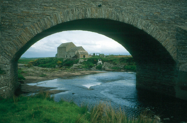
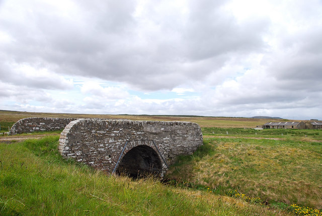
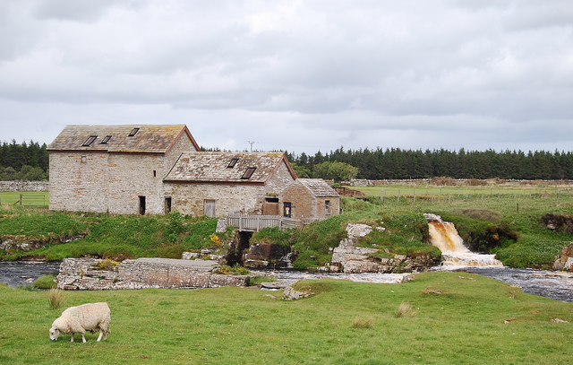
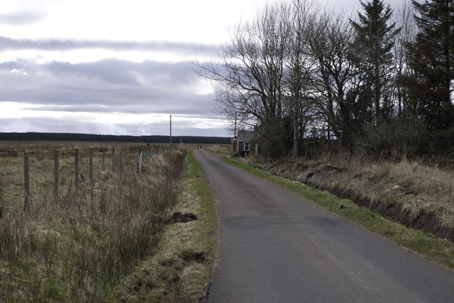
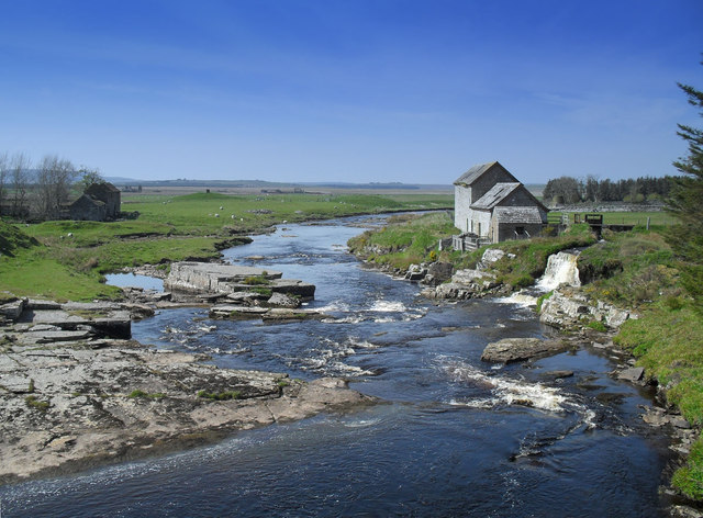
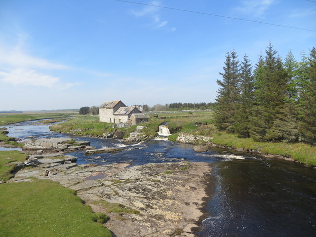
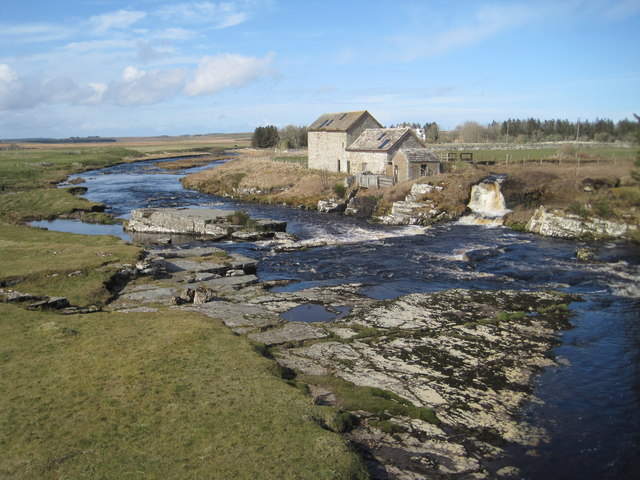
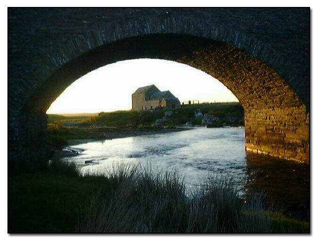
Caithness is a historic county located in the far north-eastern part of Scotland. It is bordered by the North Sea to the east, the Atlantic Ocean to the north and west, and Sutherland to the south. With its rich history and stunning landscapes, Caithness is a popular destination for tourists and nature enthusiasts.
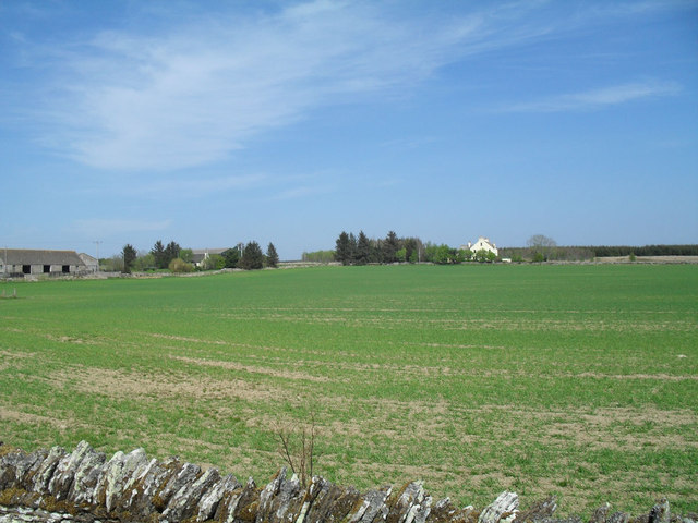
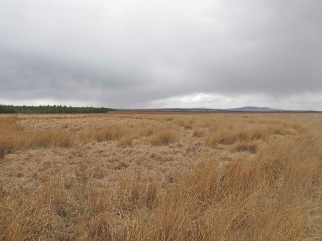
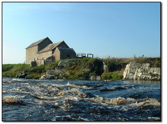
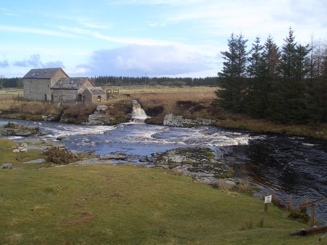
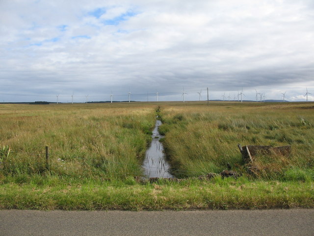
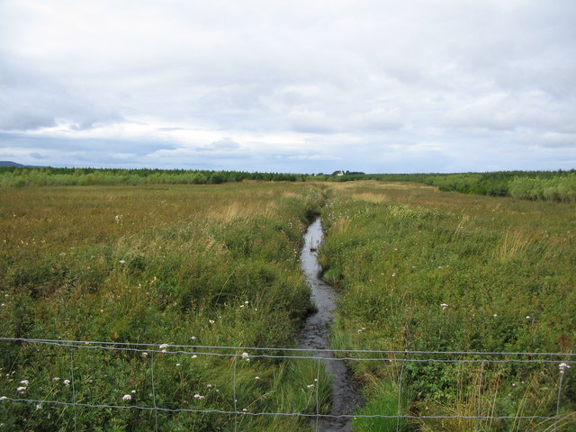
The county is characterized by its rugged coastline, dramatic cliffs, and beautiful sandy beaches. The landscape is dominated by rolling hills and moorland, with scattered lochs and rivers. The highest point in Caithness is Morven, standing at 706 meters.
Caithness has a long and fascinating history, with evidence of human habitation dating back to prehistoric times. The county is home to numerous ancient sites, including the famous Neolithic standing stones of Stonehenge and the Ring of Brodgar. The region also boasts several well-preserved brochs, Iron Age roundhouses, and Pictish carvings.
The main towns in Caithness are Wick and Thurso, both of which have a variety of amenities and attractions. Wick is known for its fishing heritage, with a bustling harbor and the informative Wick Heritage Museum. Thurso, on the other hand, is popular among surfers due to its excellent waves and is also home to the impressive ruins of Thurso Castle.
In addition to its historical and natural wonders, Caithness is also famous for its wildlife. The county is a haven for birdwatchers, with numerous species of seabirds, including puffins, guillemots, and razorbills. Grey seals can often be spotted lazing on the shores, and lucky visitors may even catch a glimpse of dolphins or whales offshore.
Overall, Caithness offers a unique blend of history, natural beauty, and wildlife, making it a must-visit destination for those seeking an authentic Scottish experience.
If you have any feedback on the listing, please let us know in the comments section below.
Caithness Images
Images are sourced within 2km of 58.4435/-3.496 or Grid Reference ND1251. Thanks to Geograph Open Source API. All images are credited.

Caithness is located at Grid Ref: ND1251 (Lat: 58.4435, Lng: -3.496)
What 3 Words
///pegs.bristle.gracing. Near Halkirk, Highland
Nearby Locations
Related Wikis

Westerdale, Highland
Westerdale (Scottish Gaelic: An Dail Shuas) is a scattered crofting village which lies on the River Thurso, located five miles (eight kilometres) directly...

Tormsdale
Tormsdale is a megalithic site on the banks of the River Thurso, in Caithness, Scotland. It is 3 kilometres (1.9 mi) south of Westerdale. The site consists...

Caithness
Caithness (Scottish Gaelic: Gallaibh [ˈkal̪ˠɪv]; Scots: Caitnes; Old Norse: Katanes) is a historic county, registration county and lieutenancy area of...

Olgrinmore
Olgrinmore is a small area in Halkirk, Northern Scotland, south of Thurso and John o' Groats. The B870 runs directly through the centre with Scotscalder...
Mybster
Mybster is a small village, in Caithness, Scottish Highlands, and is in the Scottish council area of Highland.Mybster lies 2 miles (3 km) northwest of...

Battle of Harpsdale
The Battle of Harpsdale (Battle of Achardale, Battle of Harpasdal) was a Scottish clan battle fought in 1426 at Achardale, about 8 miles (13 km) south...
Spittal, Highland
Spittal is a small hamlet in Caithness, Scottish Highlands and is in the Scottish council area of Highland. Spittal lies 9 miles (14 km) south of Thurso...
Scotscalder
Scots Calder is an area within Halkirk, Northern Scotland. It is served by Scotscalder railway station which is operated by ScotRail. The B870 runs directly...
Nearby Amenities
Located within 500m of 58.4435,-3.496Have you been to Caithness?
Leave your review of Caithness below (or comments, questions and feedback).