Westerdale

Settlement in Caithness

Scotland

Westerdale

Bridge over River Thurso at Westerdale The river slips over Caithness slabs past an old mill.
Bridge over River Thurso at Westerdale Credit: Alan Reid

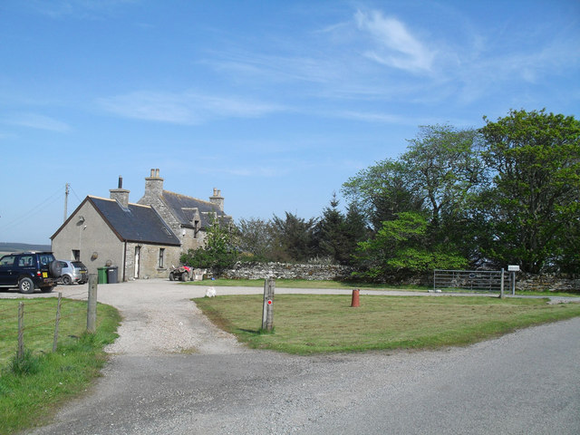
Westerdale is a small rural village located in the historic county of Caithness, in the northernmost part of mainland Scotland. Situated in the Highland region, this picturesque hamlet is nestled amidst breathtaking natural beauty. With a population of around 200 residents, Westerdale offers a tranquil and close-knit community environment.

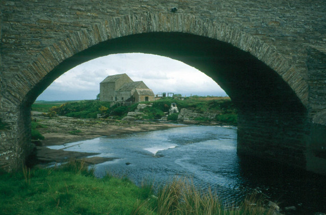
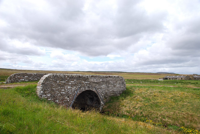
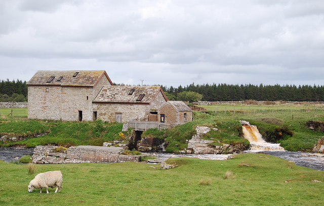
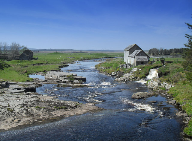
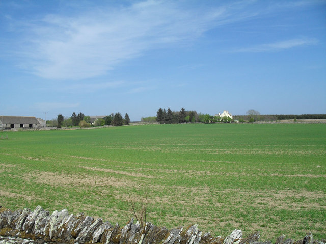
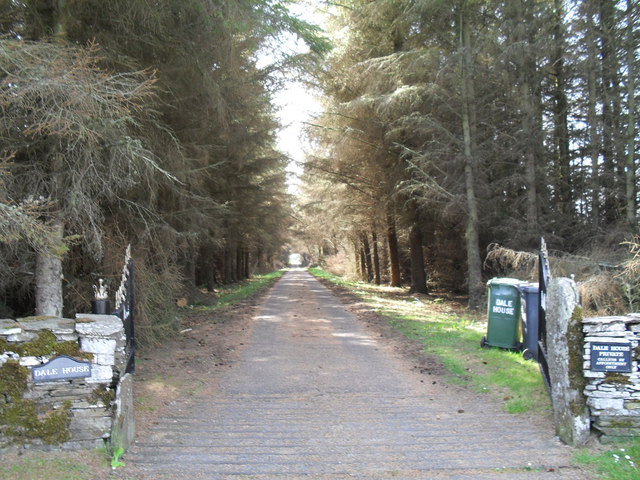
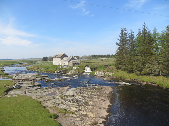
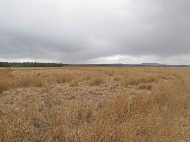
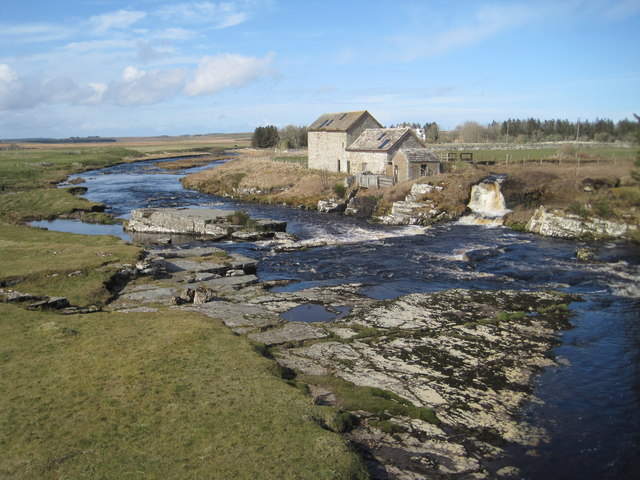
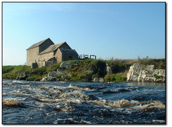
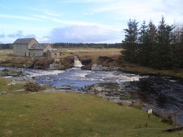
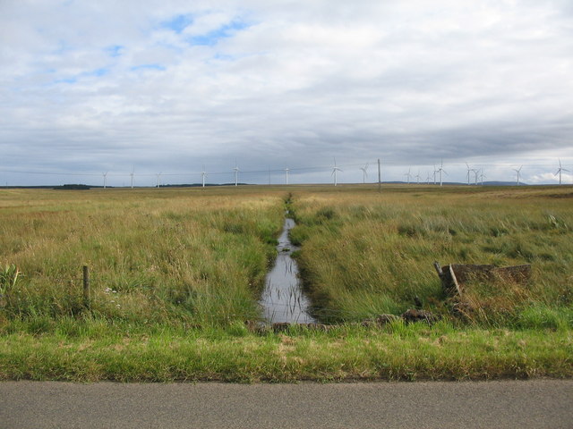
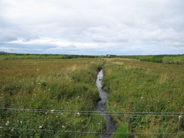
The village is characterized by its stunning surroundings, surrounded by rolling hills, lush green meadows, and the rugged beauty of the Caithness coastline. It is an ideal location for nature lovers and outdoor enthusiasts, with numerous walking and hiking trails to explore. The nearby Westerdale Loch provides a peaceful spot for fishing and birdwatching.

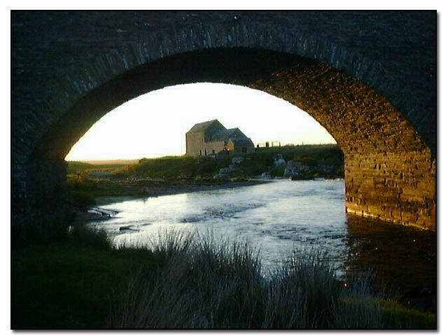
Westerdale itself has a rich history, with evidence of human settlement dating back to ancient times. The village is home to several well-preserved historical landmarks, including the Westerdale Parish Church, a beautiful stone building dating back to the 18th century. The church serves as a focal point for community events and religious gatherings.

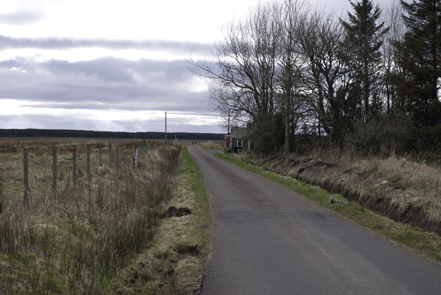
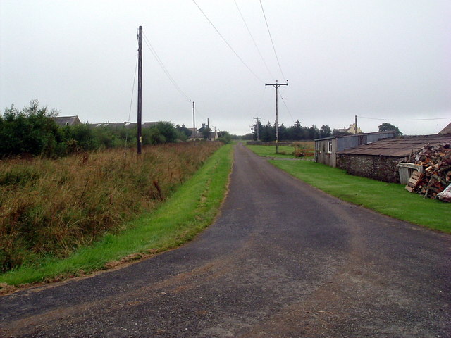
Despite its small size, Westerdale offers some local amenities to cater to the needs of its residents. These include a small general store and a community center, which hosts various social activities and gatherings. The village also benefits from a regular bus service, connecting it to nearby towns and cities.

Overall, Westerdale, Caithness is a charming and idyllic village that offers a peaceful and scenic way of life. Its natural beauty, historical significance, and close-knit community make it a desirable place to live or visit for those seeking a tranquil retreat in the Scottish Highlands.

If you have any feedback on the listing, please let us know in the comments section below.

Westerdale Images

Images are sourced within 2km of 58.443529/-3.4961388 or Grid Reference ND1251. Thanks to Geograph Open Source API. All images are credited.

Bridge over River Thurso at Westerdale The river slips over Caithness slabs past an old mill.
Bridge over River Thurso at Westerdale
The river slips over Caithness slabs past an old mill.
Stone Bridge Over a tributary of the River Thurso an old bridge leads a track to an abandoned farmstead.
Stone Bridge
Over a tributary of the River Thurso an old bridge leads a track to an abandoned farmstead.
Westerdale Mill On the River Thurso this former mill presents a pretty picture.
Westerdale Mill
On the River Thurso this former mill presents a pretty picture.
Corner Cottage As the name suggests this cottage stands at the junction of the Halkirk and Mybster roads.
Corner Cottage
As the name suggests this cottage stands at the junction of the Halkirk and Mybster roads.
Road into the wilds - remote phonebox
Westerdale Mill on the Thurso
Dale farm
Dale farm
Track to Dale House Peasants not welcome....
Track to Dale House
Peasants not welcome....
Achlibster
Achlibster
Westerdale Mill on the River Thurso
Dale Moss Dale Moss, looking towards Ben Dorrery.
Dale Moss
Dale Moss, looking towards Ben Dorrery.
Old Mill at Westerdale
Dale Mill, Westerdale, Caithness Dale Mill is one of these places that is often painted and photographed!  The watermill supplies Dale House (which is now a private hotel) with electricity.
Dale Mill, Westerdale, Caithness
Dale Mill is one of these places that is often painted and photographed! The watermill supplies Dale House (which is now a private hotel) with electricity.
Dale Mill, Caithness A closer view of the mill.  This must be a good fishing beat as there are nearly always people here fishing.
Dale Mill, located by the River Thurso, had a water-powered generator installed in 1919 which supplies electricity to Dale House.
Dale Mill, Caithness
A closer view of the mill. This must be a good fishing beat as there are nearly always people here fishing. Dale Mill, located by the River Thurso, had a water-powered generator installed in 1919 which supplies electricity to Dale House.
Westerdale Rapid In high water this is a nice Grade 3 rapid. It is a shame that it is in the middle of miles of flat water. Easily accessed from the road on the way up to paddle Dirlot Gorge further upstream
Westerdale Rapid
In high water this is a nice Grade 3 rapid. It is a shame that it is in the middle of miles of flat water. Easily accessed from the road on the way up to paddle Dirlot Gorge further upstream
Road to Dale Farm
Road to Dale Farm
Achlachan Burn A view looking to the southeast along the Achlachan Burn, from the B870
Achlachan Burn
A view looking to the southeast along the Achlachan Burn, from the B870
Achlachan Burn A view looking to the northwest, upstream along the Achlachan burn. Dale Farm can be seen in the distance.
Achlachan Burn
A view looking to the northwest, upstream along the Achlachan burn. Dale Farm can be seen in the distance.
Show me another place!

Westerdale is located at Grid Ref: ND1251 (Lat: 58.443529, Lng: -3.4961388)

Unitary Authority: Highland

Police Authority: Highlands and Islands

What 3 Words

///clean.consented.ribs. Near Halkirk, Highland

Related Wikis

Westerdale, Highland

Westerdale (Scottish Gaelic: An Dail Shuas) is a scattered crofting village which lies on the River Thurso, located five miles (eight kilometres) directly...

Tormsdale

Tormsdale is a megalithic site on the banks of the River Thurso, in Caithness, Scotland. It is 3 kilometres (1.9 mi) south of Westerdale. The site consists...

Caithness

Caithness (Scottish Gaelic: Gallaibh [ˈkal̪ˠɪv]; Scots: Caitnes; Old Norse: Katanes) is a historic county, registration county and lieutenancy area of...

Olgrinmore

Olgrinmore is a small area in Halkirk, Northern Scotland, south of Thurso and John o' Groats. The B870 runs directly through the centre with Scotscalder...

Nearby Amenities

Located within 500m of 58.443529,-3.4961388
Bus Stop
Post Office
Naptan AtcoCode: 6700713249
Naptan Bearing: NE
Naptan CommonName: Post Office
Naptan Indicator: o/s
Naptan Landmark: Post Office
Naptan NaptanCode: 45328627
Naptan Street: Altnabreac Road
Naptan Verified: no
Source: naptan_import
Lat/Long: 58.4427982/-3.4975976
Power: pole
Lat/Long: 58.4458157/-3.4978436
Power: pole
Lat/Long: 58.4455974/-3.4891488
Power: pole
Lat/Long: 58.4459119/-3.5021429
Power: pole
Lat/Long: 58.4457549/-3.4955193
Power: pole
Lat/Long: 58.4458705/-3.4998705
Power: pole
Lat/Long: 58.4457157/-3.4931202
Power: pole
Lat/Long: 58.4456881/-3.49171
Westerdale
Name Gd: An Dail Shuas
Name Sco: Wasterdal
Place: hamlet
Lat/Long: 58.4455076/-3.4936744
Ford: yes
Lat/Long: 58.4440489/-3.4930187
The data included in this document is from www.openstreetmap.org. The data is made available under ODbL.

Have you been to Westerdale?

Leave your review of Westerdale below (or comments, questions and feedback).