Gillesbie
Settlement in Dumfriesshire
Scotland
Gillesbie
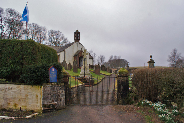
Gillesbie is a small village located in the region of Dumfriesshire, Scotland. Situated approximately 10 miles northeast of Dumfries, it is nestled within the picturesque landscape of the Southern Uplands. Gillesbie is part of the Eskdalemuir parish and falls within the Dumfriesshire constituency.
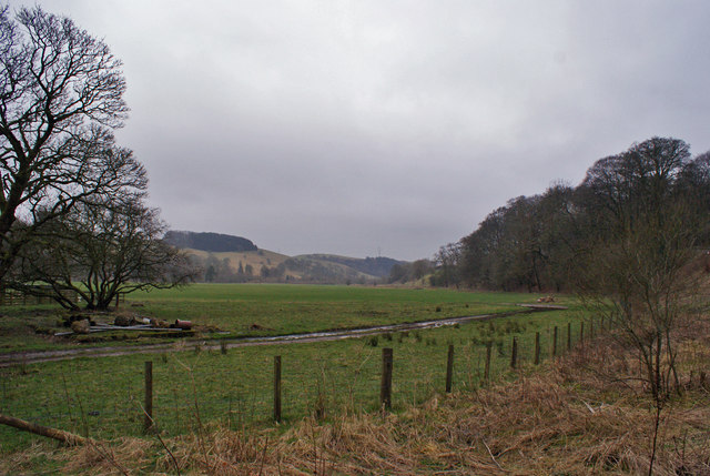
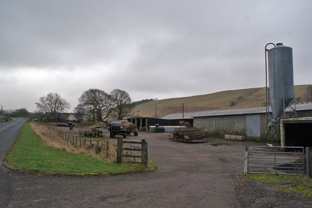
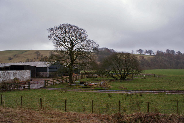
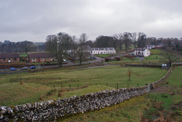
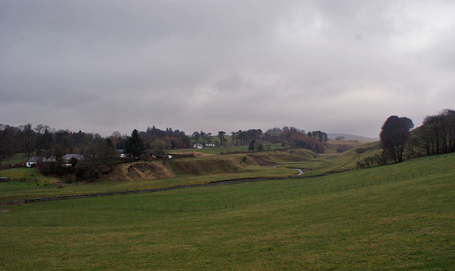
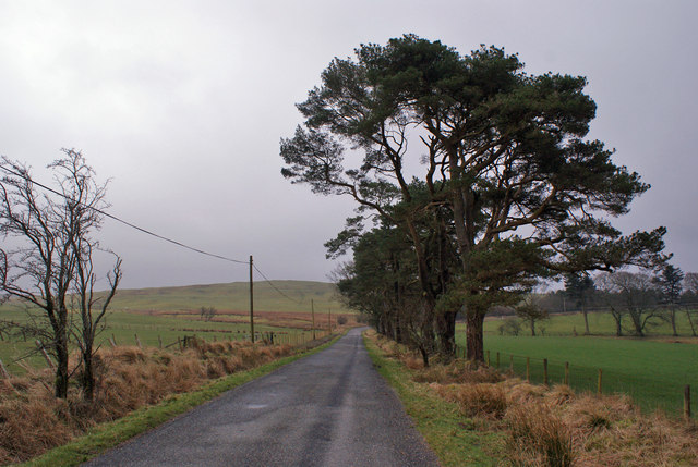
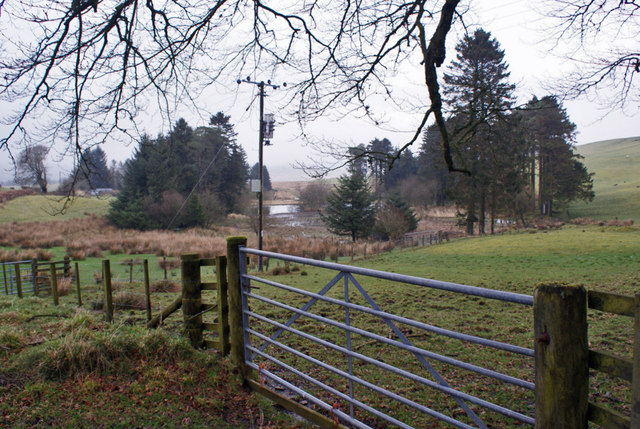
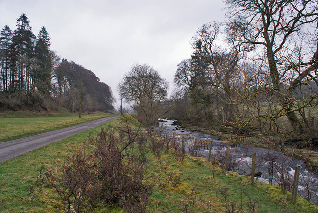
The village itself is characterized by its serene and rural setting. Surrounded by rolling hills and lush greenery, it offers a tranquil escape from the hustle and bustle of city life. The local economy primarily revolves around agriculture, with many residents engaged in farming and livestock rearing.
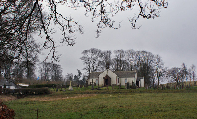
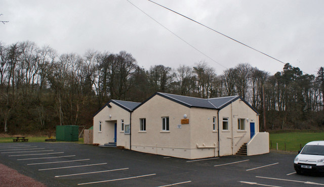
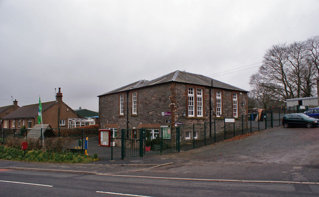
Gillesbie is home to a tight-knit community, with a small population that values its close-knit bonds and sense of community spirit. The village has a few basic amenities to cater to the needs of its residents, including a local store and a primary school. However, for more extensive shopping or recreational activities, residents often travel to nearby towns such as Dumfries.
Nature lovers and outdoor enthusiasts are drawn to Gillesbie due to its proximity to the Eskdalemuir Forest and surrounding natural areas. The region offers ample opportunities for hiking, cycling, and exploring the scenic beauty of the Scottish countryside.
Overall, Gillesbie is a charming and idyllic village, where residents enjoy a peaceful lifestyle amidst stunning natural surroundings.
If you have any feedback on the listing, please let us know in the comments section below.
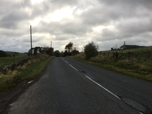
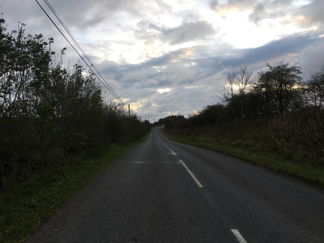
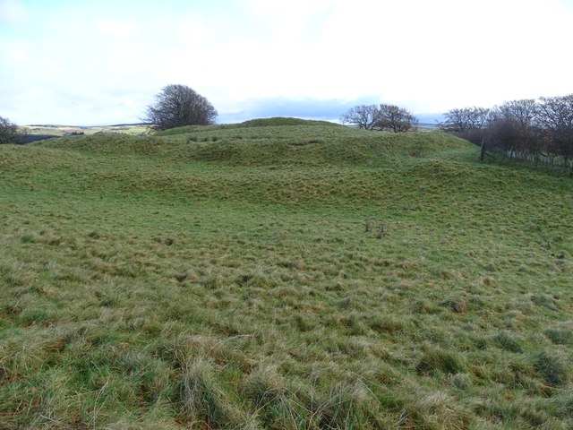
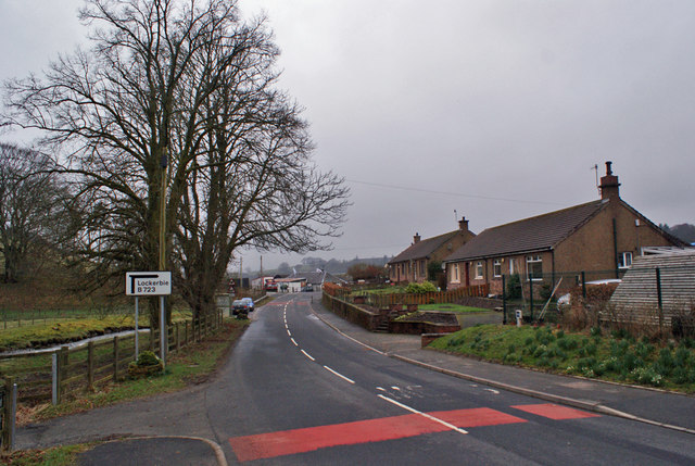
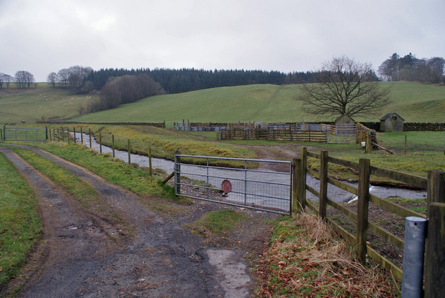
Gillesbie Images
Images are sourced within 2km of 55.206082/-3.3214632 or Grid Reference NY1691. Thanks to Geograph Open Source API. All images are credited.
Gillesbie is located at Grid Ref: NY1691 (Lat: 55.206082, Lng: -3.3214632)
Unitary Authority: Dumfries and Galloway
Police Authority: Dumfries and Galloway
What 3 Words
///gong.aquatic.logo. Near Johnstonebridge, Dumfries & Galloway
Nearby Locations
Related Wikis

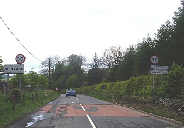
Boreland
Boreland is a village in Dumfries and Galloway, Scotland, which is located in Dryfesdale about 7 miles (11 kilometres) north of Lockerbie on the B723 road...
Sibbaldbie
Sibbaldbie is a small village in Annandale, Dumfries and Galloway, Scotland. == References ==

Dinwoodie railway station
Dinwoodie railway station was a station which served the rural area around the settlement of Dinwoodie, 6 miles north of Lockerbie in Applegarth parish...

Annandale Water services
Annandale Water services is a motorway service station in the village of Johnstonebridge, Scotland. The service station is located next to the A74(M) motorway...

Annandale Water
Annandale Water is a loch in Annandale, Dumfries and Galloway, in the south west of Scotland. It is part of Annandale Water service station at Junction...

Newton Wamphray
Newton Wamphray is a village in Dumfries and Galloway. Wamphray is the name of the surrounding parish and of the Wamphray Water, which flows south-west...

Wamphray railway station
Wamphray railway station served Newton Wamphray, near Beattock, in the Scottish county of Dumfries and Galloway. It was served by local trains on what...
Johnstonebridge
Johnstonebridge is a village in Dumfries and Galloway, Scotland.It is roughly halfway between Moffat and Lockerbie, and lies on the A74(M) motorway. The...
Nearby Amenities
Located within 500m of 55.206082,-3.3214632Have you been to Gillesbie?
Leave your review of Gillesbie below (or comments, questions and feedback).