Coultard's Cleuch
Valley in Dumfriesshire
Scotland
Coultard's Cleuch
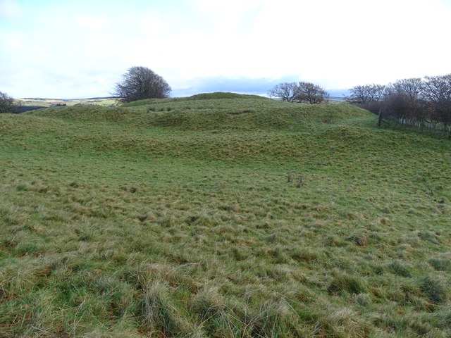
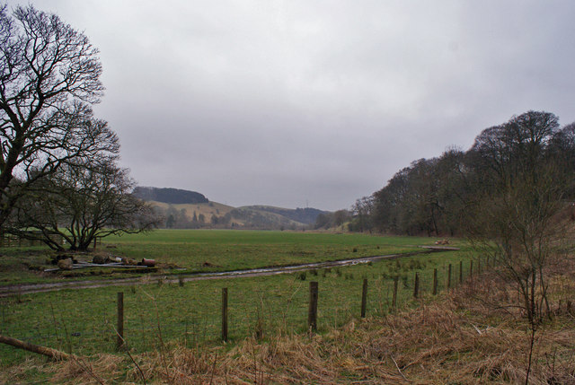
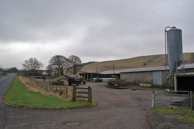
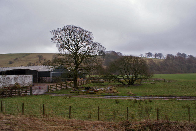
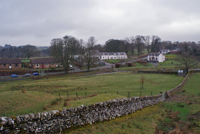
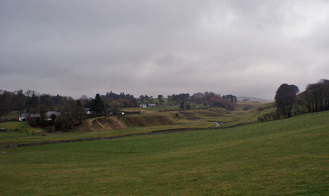
Coultard's Cleuch is a picturesque valley located in Dumfriesshire, Scotland. Nestled amidst the rolling hills and lush greenery, this valley offers a tranquil and idyllic setting for nature lovers and outdoor enthusiasts.
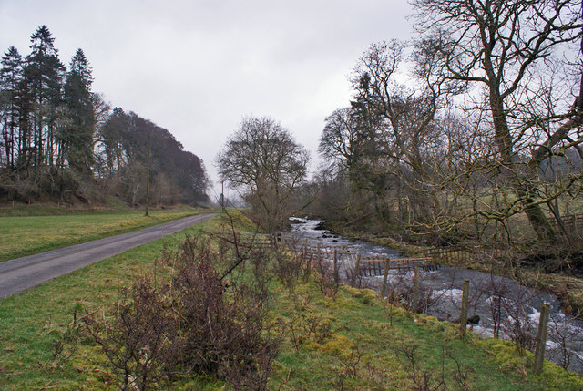
The valley is named after the Coultard family, who were early settlers in the area. It is characterized by its gently sloping landscape, with the river Coultard meandering through the valley floor, adding to its scenic beauty. The river is known for its crystal-clear waters, which are home to a variety of fish species, making it a popular spot for fishing.
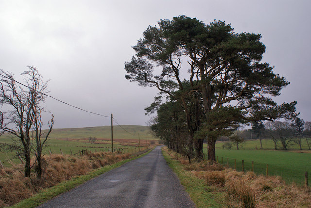
The surrounding hills and woodlands of Coultard's Cleuch provide ample opportunities for hiking and walking. Visitors can explore the numerous trails that wind through the valley, offering breathtaking views of the countryside. The valley is also home to a diverse range of flora and fauna, including wildflowers, birds, and small mammals, making it a haven for wildlife enthusiasts and nature photographers.
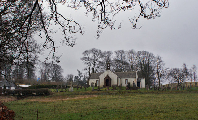
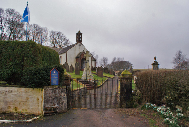
Coultard's Cleuch is not only a natural haven, but it also holds historical significance. The area has evidence of ancient settlements, with archaeological remains dating back to prehistoric times. Visitors can explore these historical sites and learn about the rich cultural heritage of the region.
In summary, Coultard's Cleuch in Dumfriesshire is a captivating valley that combines natural beauty with historical significance. With its stunning landscapes, diverse wildlife, and recreational opportunities, it is a must-visit destination for those seeking a peaceful retreat in the heart of Scotland.
If you have any feedback on the listing, please let us know in the comments section below.
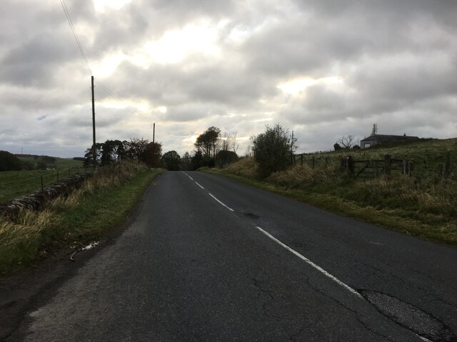
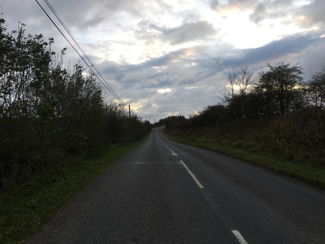
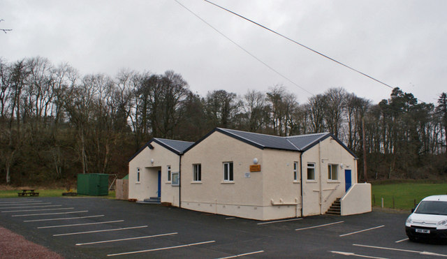
Coultard's Cleuch Images
Images are sourced within 2km of 55.213113/-3.3186314 or Grid Reference NY1691. Thanks to Geograph Open Source API. All images are credited.


Coultard's Cleuch is located at Grid Ref: NY1691 (Lat: 55.213113, Lng: -3.3186314)
Unitary Authority: Dumfries and Galloway
Police Authority: Dumfries and Galloway
What 3 Words
///bronzes.jammy.ruins. Near Johnstonebridge, Dumfries & Galloway
Nearby Locations
Related Wikis

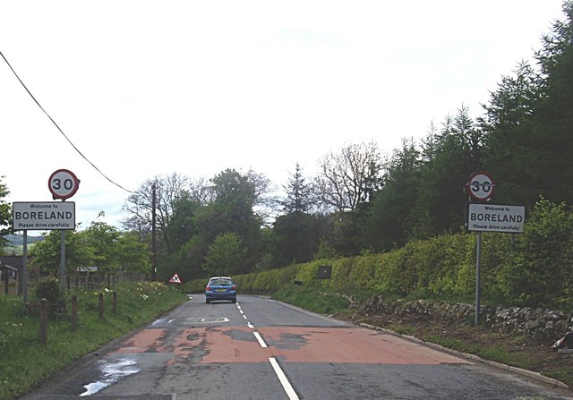
Boreland
Boreland is a village in Dumfries and Galloway, Scotland, which is located in Dryfesdale about 7 miles (11 kilometres) north of Lockerbie on the B723 road...
Sibbaldbie
Sibbaldbie is a small village in Annandale, Dumfries and Galloway, Scotland. == References ==

Dinwoodie railway station
Dinwoodie railway station was a station which served the rural area around the settlement of Dinwoodie, 6 miles north of Lockerbie in Applegarth parish...

Newton Wamphray
Newton Wamphray is a village in Dumfries and Galloway. Wamphray is the name of the surrounding parish and of the Wamphray Water, which flows south-west...

Annandale Water services
Annandale Water services is a motorway service station in the village of Johnstonebridge, Scotland. The service station is located next to the A74(M) motorway...

Annandale Water
Annandale Water is a loch in Annandale, Dumfries and Galloway, in the south west of Scotland. It is part of Annandale Water service station at Junction...

Wamphray railway station
Wamphray railway station served Newton Wamphray, near Beattock, in the Scottish county of Dumfries and Galloway. It was served by local trains on what...
Johnstonebridge
Johnstonebridge is a village in Dumfries and Galloway, Scotland.It is roughly halfway between Moffat and Lockerbie, and lies on the A74(M) motorway. The...
Nearby Amenities
Located within 500m of 55.213113,-3.3186314Have you been to Coultard's Cleuch?
Leave your review of Coultard's Cleuch below (or comments, questions and feedback).