Dunbartonshire
Historic County in
Scotland
Dunbartonshire
Dunbartonshire, also known as the County of Dumbarton, is a historic county located in the west central Lowlands of Scotland. It is bordered by the counties of Stirlingshire and Perthshire to the north, Renfrewshire to the east, and Lanarkshire to the south. The county's western boundary is formed by the Firth of Clyde, which separates it from the Argyllshire.
The area has a rich history that dates back to ancient times. It was home to the Kingdom of Strathclyde, a Celtic kingdom that existed from the 6th to the 11th century. The county's name is derived from the town of Dumbarton, which was once the capital of the kingdom. Dumbarton Castle, perched on a volcanic rock overlooking the River Clyde, is a prominent landmark in the area and has played a significant role in Scottish history.
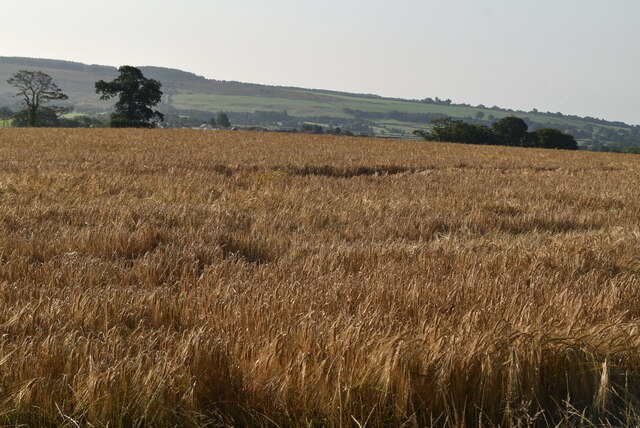
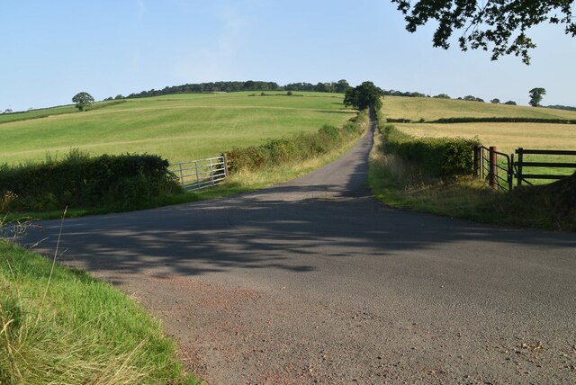
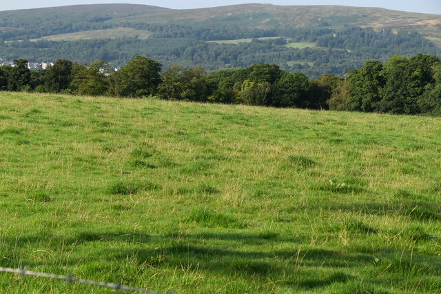
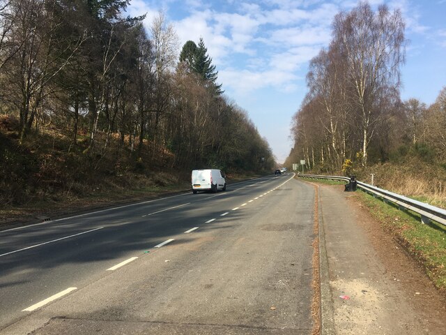
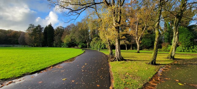
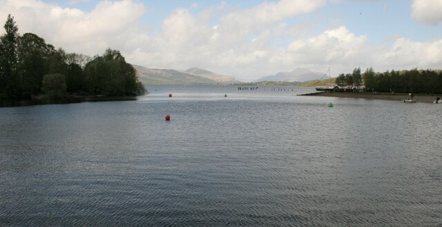
Dunbartonshire is known for its diverse landscapes, which range from rolling hills to the scenic shores of Loch Lomond, the largest freshwater lake in Great Britain. The county is also home to several other lochs, including Loch Long and Loch Katrine. These natural features attract tourists and outdoor enthusiasts who come to enjoy activities such as hiking, sailing, and fishing.
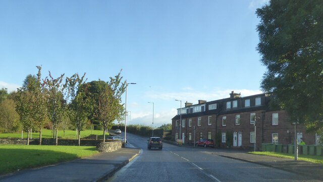
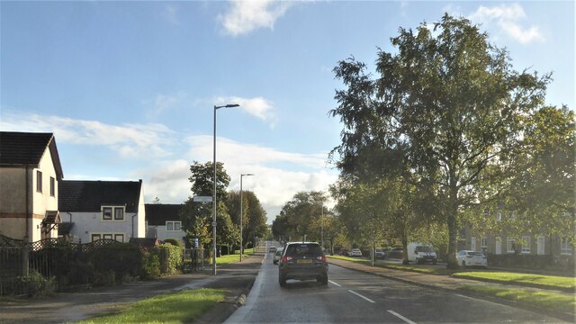
The county has a population of around 90,000 people and is predominantly residential. Its proximity to Glasgow, Scotland's largest city, makes it an attractive location for commuters. Additionally, Dunbartonshire is home to several towns and villages, including Clydebank, Dumbarton, Bearsden, and Milngavie, each with its own unique character and amenities.
Overall, Dunbartonshire offers a blend of historical significance, natural beauty, and modern conveniences, making it a desirable place to live and visit in Scotland.
If you have any feedback on the listing, please let us know in the comments section below.
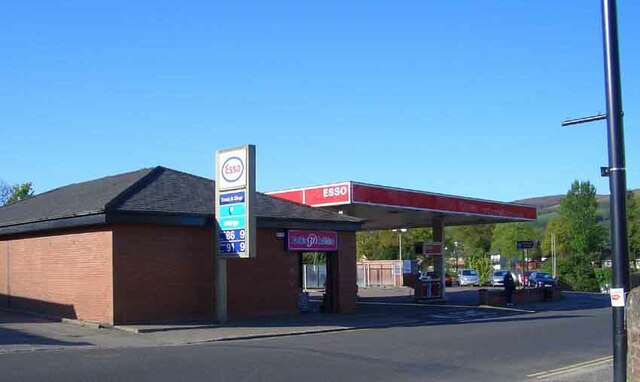
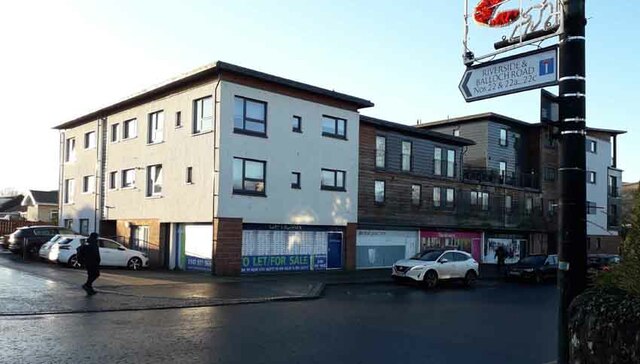
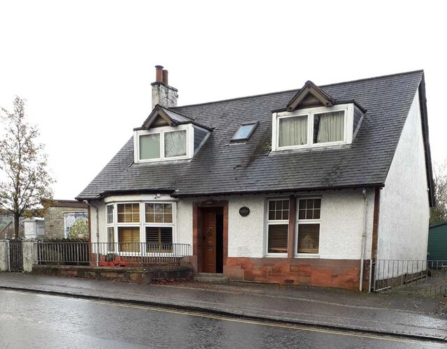
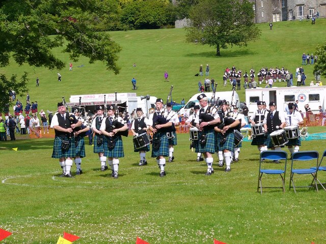
Dunbartonshire Images
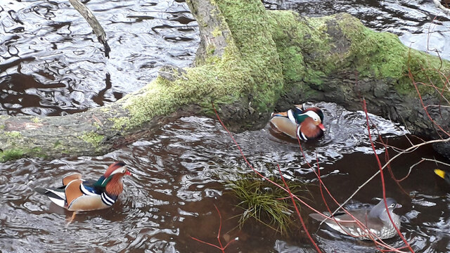
Images are sourced within 2km of 56.004/-4.5769 or Grid Reference NS3982. Thanks to Geograph Open Source API. All images are credited.
![Stone Horse Trough This trough is on the west side of Old Luss Road. It is 2 metres north of a stone walled culvert and approximately 350 metres north of the south entrance to the Cameron House Estate.
It is shown on the Scottish OS map of Dumbartonshire [sic] Sheet nXVIII Revised: 1914, Published: 1923. The trough is therefore in excess of 100 years old.
A comparatively modern inlet pipe ensures that the trough is permanently filled with water.](https://s0.geograph.org.uk/geophotos/07/34/54/7345464_f09fc1bf.jpg)
Dunbartonshire is located at Grid Ref: NS3982 (Lat: 56.004, Lng: -4.5769)
What 3 Words
///outlines.headboard.judge. Near Balloch, West Dunbartonshire
Nearby Locations
Related Wikis

Balloch, West Dunbartonshire
Balloch (; Scots pronunciation: /ˈbɑləx/; Gaelic: Am Bealach) is a village in West Dunbartonshire, Scotland, at the foot of Loch Lomond. == Etymology... ==

Loch Lomond Radium Works
Loch Lomond Radium Works was a company founded by John Stewart MacArthur in 1911 as the Radium Works in Halton, Cheshire, England. The company moved to...

Balloch Central railway station
Balloch Central railway station was the main railway station serving the town of Balloch in Scotland. It was opened on 15 July 1850 by the Caledonian and...
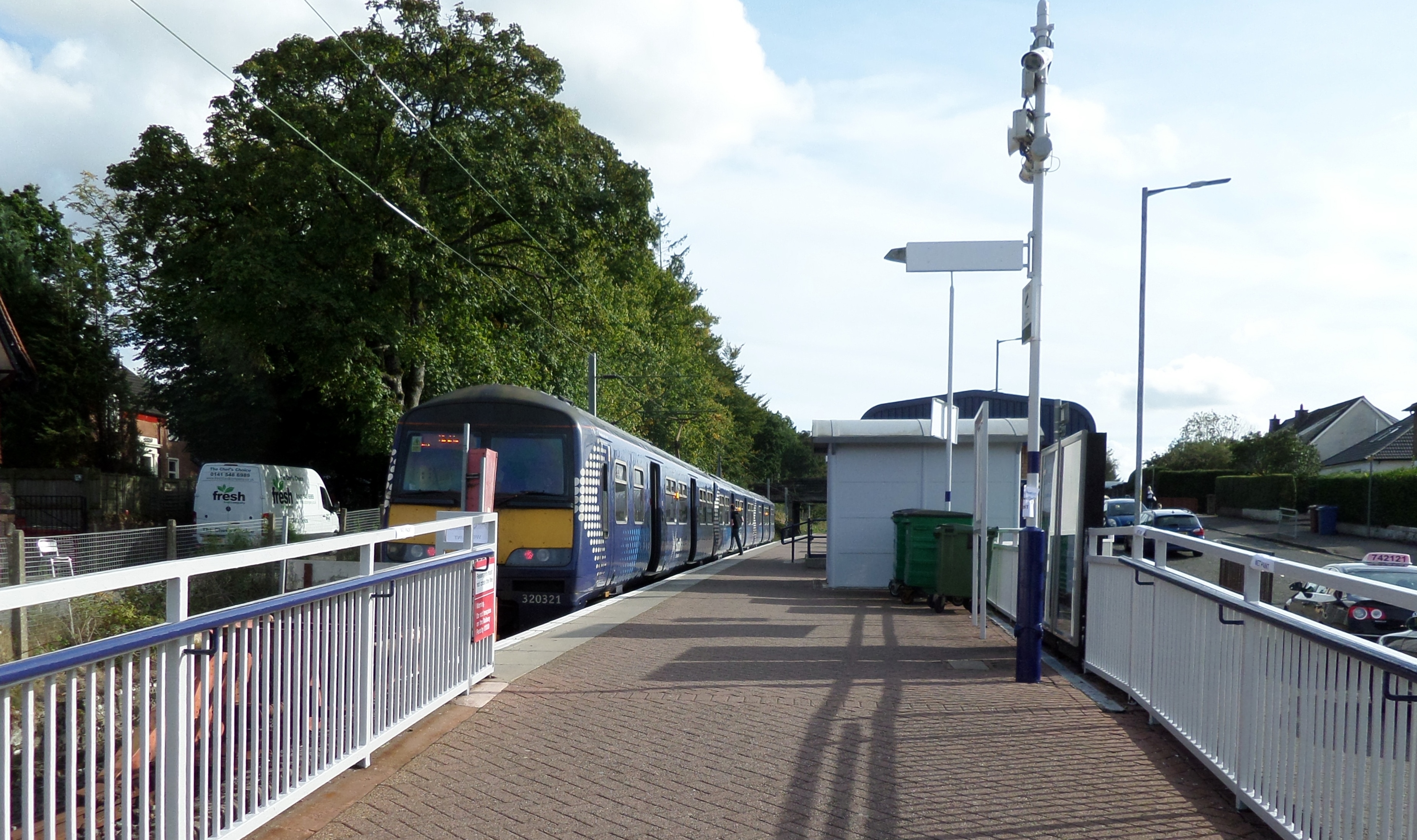
Balloch railway station
Balloch railway station is a railway station serving the town of Balloch in Scotland. The station is a western terminus of the North Clyde Line, sited...
Loch Lomond Rowing Club
Loch Lomond Rowing Club is a rowing club on the River Leven, based at Heather Avenue, Balloch, Alexandria, West Dunbartonshire. The club is affiliated...
Jamestown railway station
Jamestown railway station served the village of Jamestown, in the historical county of Dunbartonshire, Scotland, from 1856 to 1964 on the Forth and Clyde...

Jamestown, West Dunbartonshire
Jamestown (Scottish Gaelic: Baile Sheumais (IPA:[ˈpaləˈheːməʃ]), Scots: Jeamstoun) is a village in the Vale of Leven conurbation in West Dunbartonshire...

Balloch Pier railway station
Balloch Pier railway station was a railway station serving the southern end of Loch Lomond on the northern edge of Balloch, Scotland. In 1960 the North...
Nearby Amenities
Located within 500m of 56.004,-4.5769Have you been to Dunbartonshire?
Leave your review of Dunbartonshire below (or comments, questions and feedback).