West Dart

Heritage Site in Devon South Hams

England

West Dart

Coastguard building
Coastguard building Credit: Rob Purvis

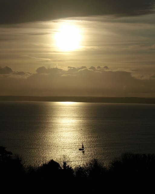
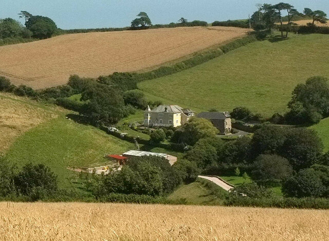
West Dart is a stunning heritage site located in Devon, England. It is a picturesque valley that follows the course of the West Dart River, which runs through the heart of Dartmoor National Park. The site is renowned for its outstanding natural beauty and is popular with hikers, nature lovers, and history enthusiasts.

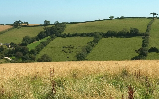
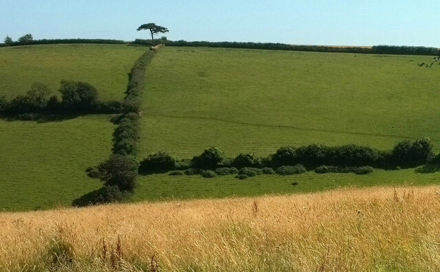
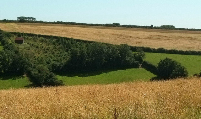
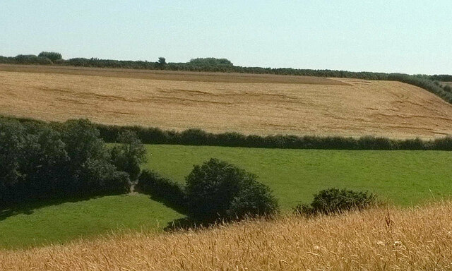
The West Dart valley is characterized by its rugged and diverse landscape, with rolling hills, granite tors, and cascading waterfalls. The river itself is a prominent feature, meandering through the valley and creating a series of pools and rapids along its course. This pristine river is a haven for wildlife, including otters, salmon, and a variety of bird species.

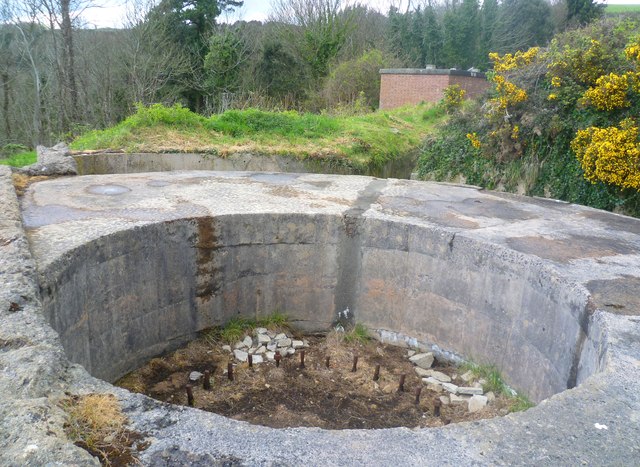
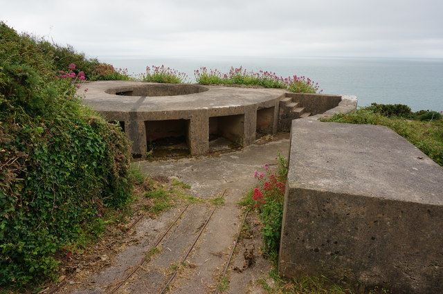
The heritage site is also home to several historical landmarks, adding to its cultural significance. One such landmark is the ancient clapper bridge, a stone bridge believed to date back to the medieval period. This bridge has become an iconic symbol of the area and provides a picturesque backdrop for visitors.

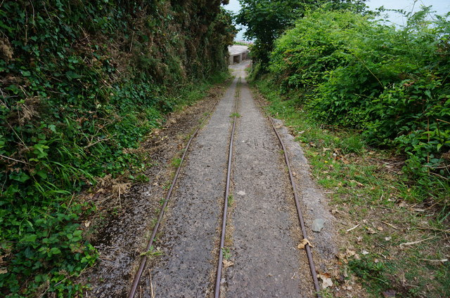
Hiking trails crisscross the West Dart valley, offering visitors the opportunity to explore the area's natural wonders. The popular Two Bridges walk takes visitors along the river, passing through ancient woodlands and offering breathtaking views of the surrounding countryside.

West Dart is a place of tranquility and natural beauty, providing a serene escape from the hustle and bustle of everyday life. Whether it's for a leisurely stroll, a challenging hike, or simply to soak in the stunning scenery, this heritage site has something to offer for everyone.

If you have any feedback on the listing, please let us know in the comments section below.
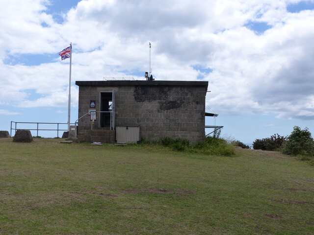
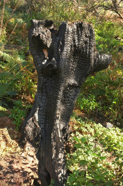
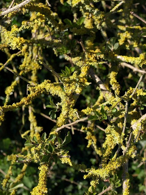
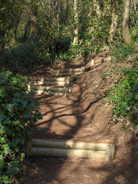
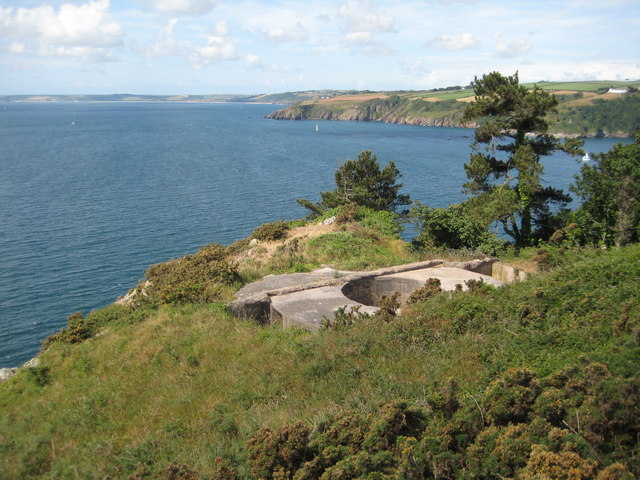
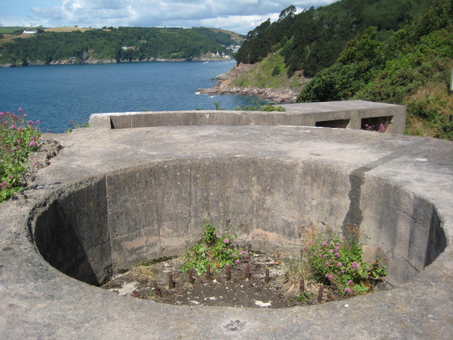
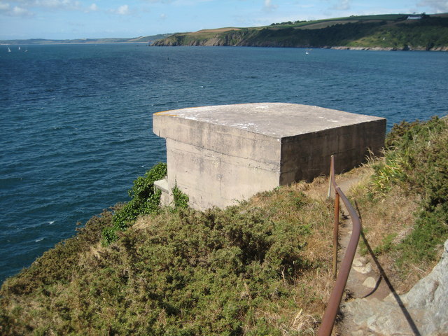
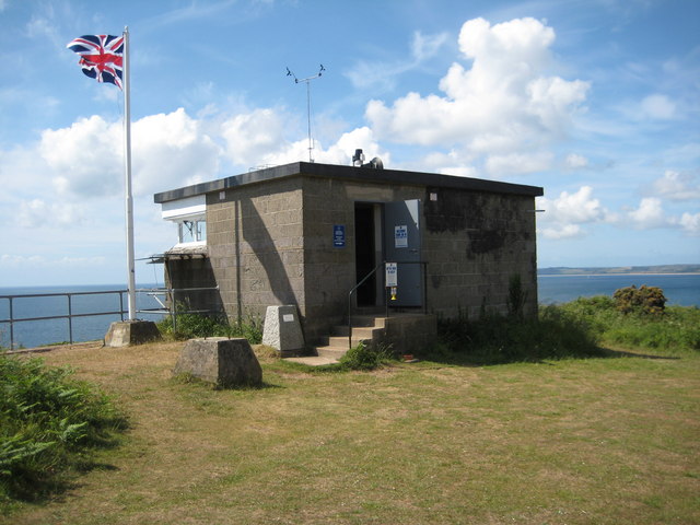
West Dart Images

Images are sourced within 2km of 50.334/-3.571 or Grid Reference SX8849. Thanks to Geograph Open Source API. All images are credited.

Coastguard building
Coastguard building
Charred tree stump above Newfoundland Cove Sixteen months after <a href="https://www.geograph.org.uk/photo/6553373">SX9049 : Charred tree stump above Newfoundland Cove</a>, there is plenty of new ground cover but the stump remains as a reminder.
Charred tree stump above Newfoundland Cove
Sixteen months after SX9049 : Charred tree stump above Newfoundland Cove, there is plenty of new ground cover but the stump remains as a reminder.
Lichen, Inner Froward Point Battery Yellow lichen on an elder bush by the South West Coast Path.
Lichen, Inner Froward Point Battery
Yellow lichen on an elder bush by the South West Coast Path.
New steps on the coast path These steps are a recent feature on a steep section of path approaching the battery on Inner Froward Point.
New steps on the coast path
These steps are a recent feature on a steep section of path approaching the battery on Inner Froward Point.
Brownstone Battery The remains of a World War II gun emplacement at Brownstone Battery above Inner Froward Point.
Brownstone Battery
The remains of a World War II gun emplacement at Brownstone Battery above Inner Froward Point.
Brownstone Battery The remains of a World War II gun emplacement at Brownstone Battery above Inner Froward Point.
Brownstone Battery
The remains of a World War II gun emplacement at Brownstone Battery above Inner Froward Point.
Former searchlight emplacement Former searchlight emplacement at Brownstone Battery.
Former searchlight emplacement
Former searchlight emplacement at Brownstone Battery.
Coast guard lookout, Inner Froward Point Coast guard lookout on the site of a former WWII battery above Inner Froward Point.
Coast guard lookout, Inner Froward Point
Coast guard lookout on the site of a former WWII battery above Inner Froward Point.
Bench overlooking The Warren Just off the coastal path as it goes towards Froward Point.
Bench overlooking The Warren
Just off the coastal path as it goes towards Froward Point.
Boat off Inner Froward Point A small boat crosses Start Bay illuminated by the winter sun, seen from the Military road above the coastal battery.
Boat off Inner Froward Point
A small boat crosses Start Bay illuminated by the winter sun, seen from the Military road above the coastal battery.
Gun Emplacement at Brownstone Battery Brownstone Battery is a World War II coastal defence position, situated on the eastern side of the mouth of the river Dart estuary at Froward Point (Grid Ref: 902946). This area has commanding views across Start Bay, which helped in its defence role. The site consists of two gun positions, two searchlight positions and a variety of other buildings, including an observation post, generator room, ammunition store, general store and mess rooms, which can still be seen.
Gun Emplacement at Brownstone Battery
Brownstone Battery is a World War II coastal defence position, situated on the eastern side of the mouth of the river Dart estuary at Froward Point (Grid Ref: 902946). This area has commanding views across Start Bay, which helped in its defence role. The site consists of two gun positions, two searchlight positions and a variety of other buildings, including an observation post, generator room, ammunition store, general store and mess rooms, which can still be seen.
Brownstone Battery, World War II coastal defence The shells for the gun were taken from the ammunition store, just behind my position loaded onto a truck that freewheeled down the slope, the truck had gearing on it to control the speed. The gun position can be seen at the bottom of the slope. An engine and pulley system hauled the truck back up the slope. Each shell weighed about 90lbs.
Brownstone Battery, World War II coastal defence
The shells for the gun were taken from the ammunition store, just behind my position loaded onto a truck that freewheeled down the slope, the truck had gearing on it to control the speed. The gun position can be seen at the bottom of the slope. An engine and pulley system hauled the truck back up the slope. Each shell weighed about 90lbs.
Concrete foundations, Brownstone Battery The six inch gun taken from a first world war battleship was mounted on the circular concrete base. It could fire the 90lbs shell 22.75 kilometres or over 14 miles. The rails in the foreground are those mentioned in<a href="https://www.geograph.org.uk/photo/4531007">SX9049 : Brownstone Battery, World War II coastal defence</a>.
Concrete foundations, Brownstone Battery
The six inch gun taken from a first world war battleship was mounted on the circular concrete base. It could fire the 90lbs shell 22.75 kilometres or over 14 miles. The rails in the foreground are those mentioned inSX9049 : Brownstone Battery, World War II coastal defence.
Fields near Lower Weeke Looking right from <a href="https://www.geograph.org.uk/photo/6926864">SX8850 : Across the valley from Swannaton Road</a>.
Fields near Lower Weeke
Fields near Lower Weeke Looking right from <a href="https://www.geograph.org.uk/photo/6926887">SX8749 : Fields near Lower Weeke</a>, with overlap.
Fields near Lower Weeke
Looking right from SX8749 : Fields near Lower Weeke, with overlap.
Trees by young wood, Weeke Looking right from <a href="https://www.geograph.org.uk/photo/6926894">SX8749 : Fields near Lower Weeke</a>. The wood also appears in <a href="https://www.geograph.org.uk/photo/6608416">SX8749 : Valley, Week</a>.
Trees by young wood, Weeke
Looking right from SX8749 : Fields near Lower Weeke. The wood also appears in SX8749 : Valley, Week.
Farmland, Weeke Looking right from <a href="https://www.geograph.org.uk/photo/6927011">SX8749 : Trees by young wood, Weeke</a>, with overlap.
Farmland, Weeke
Looking right from SX8749 : Trees by young wood, Weeke, with overlap.
Lower Weeke Seen from the gateway in <a href="https://www.geograph.org.uk/photo/6927158">SX8750 : Gateway, Swannaton Road</a>.
Lower Weeke
Seen from the gateway in SX8750 : Gateway, Swannaton Road.
Show me another place!

West Dart is located at Grid Ref: SX8849 (Lat: 50.334, Lng: -3.571)

Administrative County: Devon

District: South Hams

Police Authority: Devon and Cornwall

What 3 Words

///craters.insurance.cheaply. Near Dartmouth, Devon

Related Wikis

Dartmouth Castle

Dartmouth Castle is an artillery fort, built to protect Dartmouth harbour in Devon, England. The earliest parts of the castle date from the 1380s, when...

Dartmouth Friary

Dartmouth Friary was an Augustinian friary in Dartmouth, Devon, England. It was founded in 1331 and ceased to function as a friary in 1347. == Background... ==

Warfleet Creek

Warfleet Creek is a small triangular tidal inlet in the west side of the River Dart estuary in England. It is near Dartmouth, Devon. It has steep rocky...

River Dart

The River Dart is a river in Devon, England, that rises high on Dartmoor and flows for 75 kilometres (47 mi) to the sea at Dartmouth. == Name == Most hydronyms...
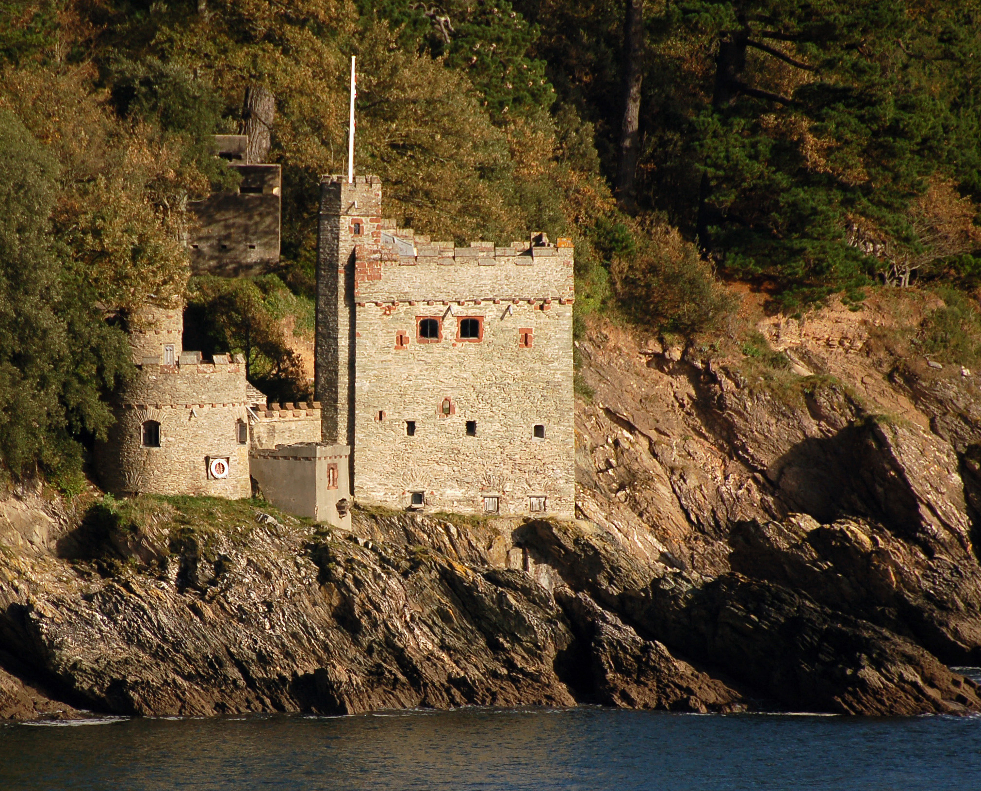
Kingswear Castle

Kingswear Castle is an artillery fort, built to protect Dartmouth harbour in Devon, England. It was constructed between 1491 and 1502 in response to the...

Kingswear

Kingswear is a village and civil parish in the South Hams area of the English county of Devon. The village is located on the east bank of the tidal River...

Church of St Thomas of Canterbury, Kingswear

The Church of St Thomas of Canterbury is situated in the village of Kingswear in the English county of Devon, it stands in a slightly elevated position...
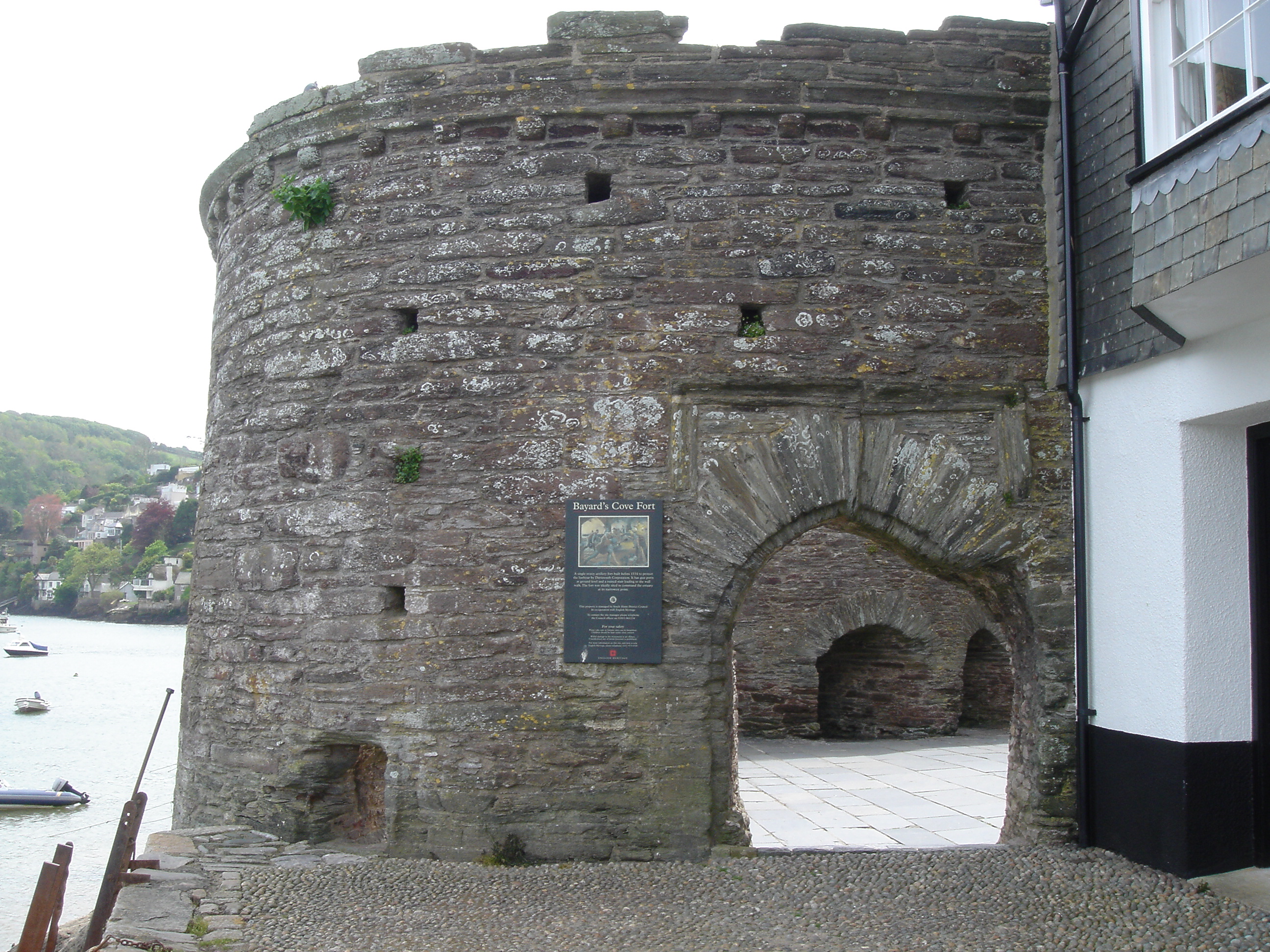
Bayard's Cove Fort

Bayard's Cove Fort, also known historically as Berescove or Bearscore Castle, is an English 16th-century artillery blockhouse, built to defend the harbour...

Nearby Amenities

Located within 500m of 50.334,-3.571
Ladies Cove
Natural: bay
Source: OS_OpenData_StreetView
Lat/Long: 50.3365756/-3.5653619
Natural: peak
Source: OS1
Lat/Long: 50.3365472/-3.5752119
Bench
Backrest: no
Lat/Long: 50.3357537/-3.5695984
Historic: monument
Lat/Long: 50.33561/-3.570595
Barrier: stile
Lat/Long: 50.3326122/-3.5759188
Bench
Backrest: no
Lat/Long: 50.332501/-3.5699693
Bench
Lat/Long: 50.3356405/-3.564883
Information: guidepost
Survey Date: 2022-03-26
Tourism: information
Lat/Long: 50.3304394/-3.5739732
The data included in this document is from www.openstreetmap.org. The data is made available under ODbL.

Have you been to West Dart?

Leave your review of West Dart below (or comments, questions and feedback).