Ladies Cove

Sea, Estuary, Creek in Devon

England

Ladies Cove

Beetle on the military road A tiny shiny black beetle with red legs, a little larger than a ladybird, in defensive mode on the permissive path past the daymark.
Beetle on the military road Credit: Derek Harper

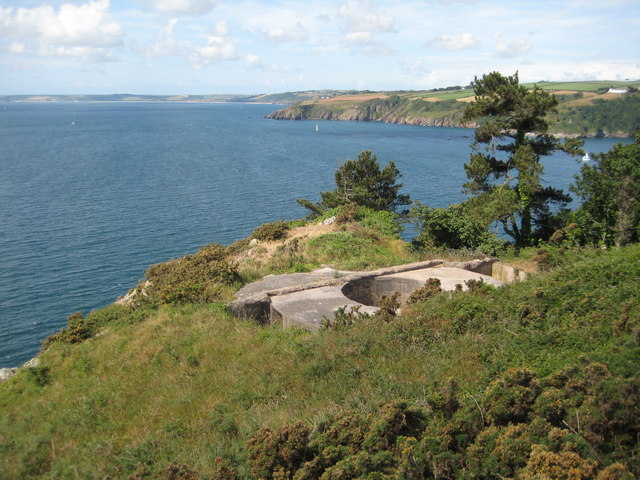
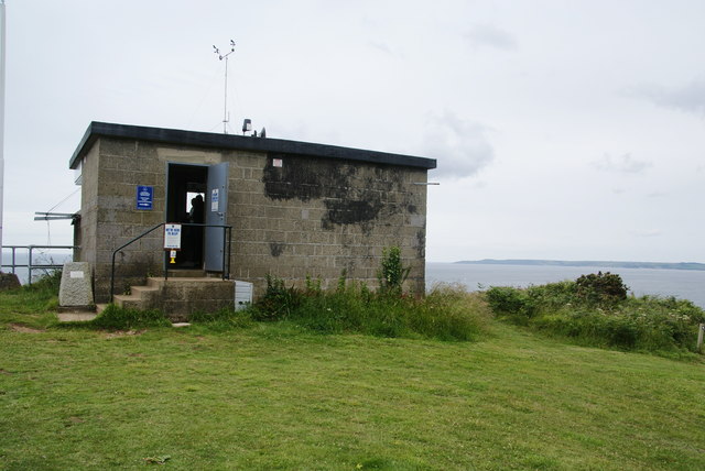
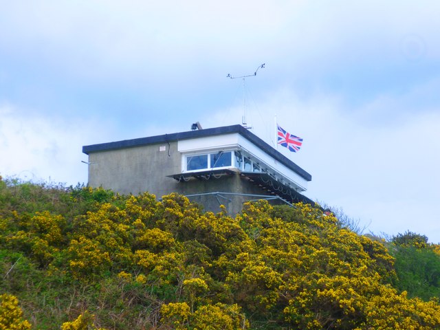
Ladies Cove is a picturesque coastal area located in Devon, England. Situated along the southern coast, it is known for its breathtaking natural beauty and pristine surroundings.

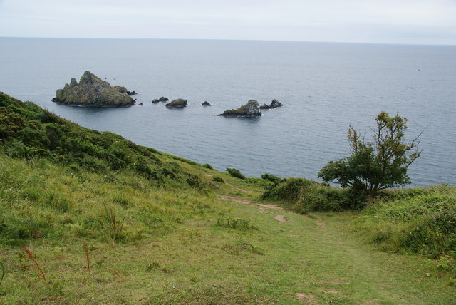
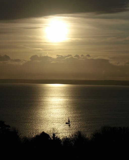
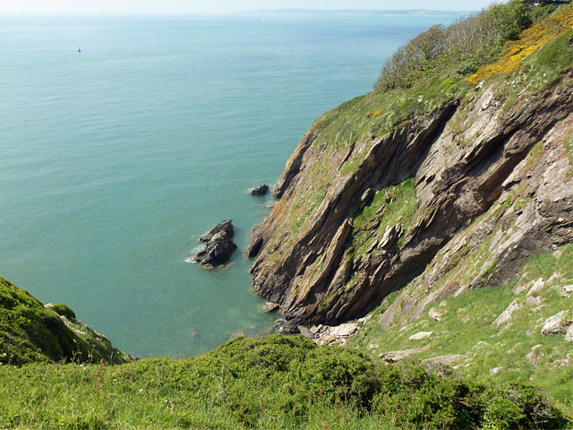
The main feature of Ladies Cove is its stunning sea view. The cove overlooks the English Channel, providing visitors with panoramic vistas of the sparkling blue waters. The sea here is calm and inviting, making it ideal for swimming, snorkeling, and other water activities.

Adjacent to the sea is an estuary, which adds to the charm of Ladies Cove. The estuary is formed by the rivermouth of a nearby river, creating a unique ecosystem that is home to a wide variety of marine species. The estuary is a popular spot for birdwatching, as it attracts a diverse range of bird species throughout the year.

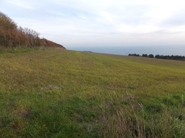
In addition to the sea and estuary, Ladies Cove also features a tranquil creek. This creek meanders through the area, providing a peaceful setting for walks and picnics. The creek is flanked by lush greenery and tall trees, adding to the natural beauty of the surroundings.

Ladies Cove is a popular destination for both locals and tourists seeking a peaceful retreat away from the hustle and bustle of city life. Its unspoiled beauty and serene atmosphere make it a perfect spot for relaxation and rejuvenation. Whether you're looking to soak up the sun on the sandy beach, explore the estuary's rich biodiversity, or simply unwind by the creek, Ladies Cove offers a truly idyllic coastal experience.

If you have any feedback on the listing, please let us know in the comments section below.
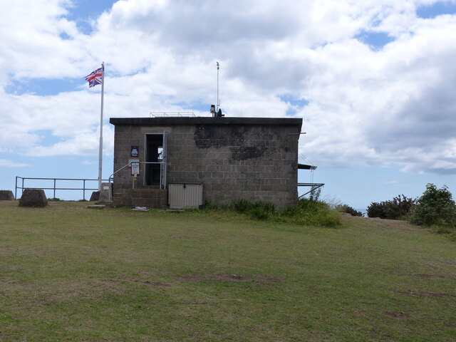
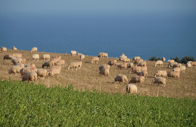
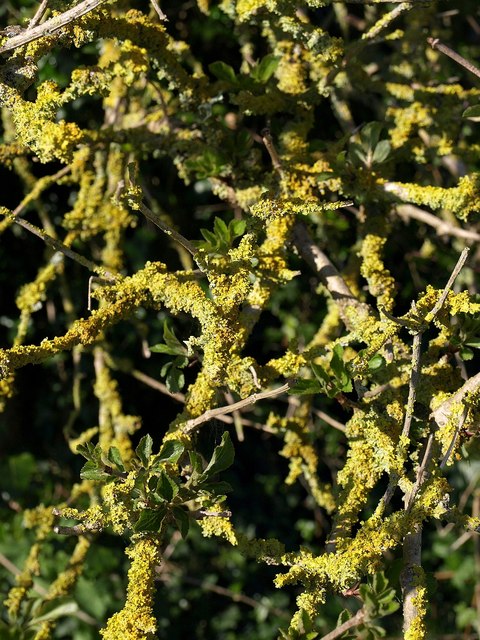
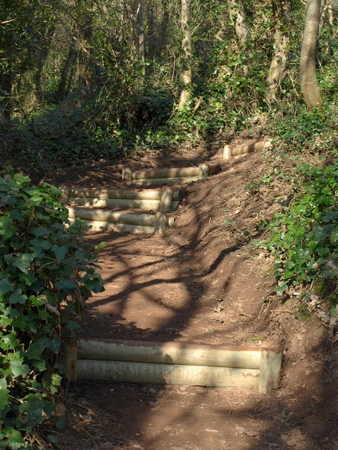
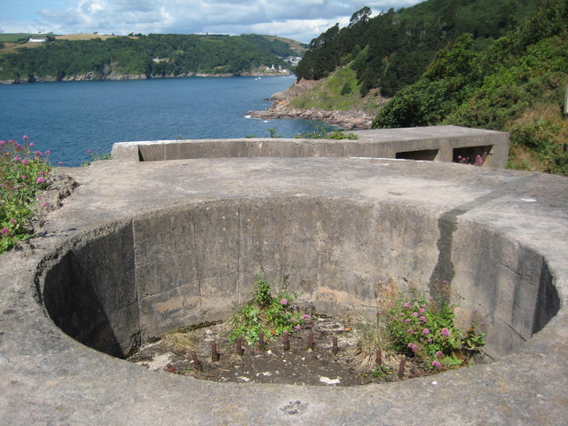
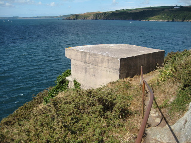
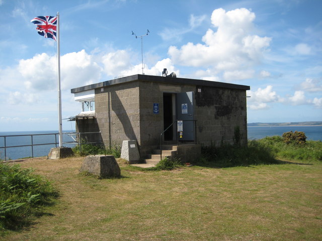
Ladies Cove Images

Images are sourced within 2km of 50.336697/-3.5652916 or Grid Reference SX8849. Thanks to Geograph Open Source API. All images are credited.

Beetle on the military road A tiny shiny black beetle with red legs, a little larger than a ladybird, in defensive mode on the permissive path past the daymark.
Beetle on the military road
A tiny shiny black beetle with red legs, a little larger than a ladybird, in defensive mode on the permissive path past the daymark.
Coastguard building
Coastguard building
Charred tree stump above Newfoundland Cove Sixteen months after <a href="https://www.geograph.org.uk/photo/6553373">SX9049 : Charred tree stump above Newfoundland Cove</a>, there is plenty of new ground cover but the stump remains as a reminder.
Charred tree stump above Newfoundland Cove
Sixteen months after SX9049 : Charred tree stump above Newfoundland Cove, there is plenty of new ground cover but the stump remains as a reminder.
Sheep above Inner Froward Point Some tempting spring greens await these sheep when the fence is shifted. Beyond is the English Channel; pretty sure the specks are gulls rather than boats.
Sheep above Inner Froward Point
Some tempting spring greens await these sheep when the fence is shifted. Beyond is the English Channel; pretty sure the specks are gulls rather than boats.
Lichen, Inner Froward Point Battery Yellow lichen on an elder bush by the South West Coast Path.
Lichen, Inner Froward Point Battery
Yellow lichen on an elder bush by the South West Coast Path.
New steps on the coast path These steps are a recent feature on a steep section of path approaching the battery on Inner Froward Point.
New steps on the coast path
These steps are a recent feature on a steep section of path approaching the battery on Inner Froward Point.
Brownstone Battery The remains of a World War II gun emplacement at Brownstone Battery above Inner Froward Point.
Brownstone Battery
The remains of a World War II gun emplacement at Brownstone Battery above Inner Froward Point.
Brownstone Battery The remains of a World War II gun emplacement at Brownstone Battery above Inner Froward Point.
Brownstone Battery
The remains of a World War II gun emplacement at Brownstone Battery above Inner Froward Point.
Former searchlight emplacement Former searchlight emplacement at Brownstone Battery.
Former searchlight emplacement
Former searchlight emplacement at Brownstone Battery.
Coast guard lookout, Inner Froward Point Coast guard lookout on the site of a former WWII battery above Inner Froward Point.
Coast guard lookout, Inner Froward Point
Coast guard lookout on the site of a former WWII battery above Inner Froward Point.
Bench overlooking The Warren Just off the coastal path as it goes towards Froward Point.
Bench overlooking The Warren
Just off the coastal path as it goes towards Froward Point.
Coastguard lookout station on Inner Froward Point This is now manned by volunteers, who are extremely enthusiastic and helpful.
Coastguard lookout station on Inner Froward Point
This is now manned by volunteers, who are extremely enthusiastic and helpful.
Path down towards Outer Froward Point The rocks ahead can be seen from a long way along the coast.
Path down towards Outer Froward Point
The rocks ahead can be seen from a long way along the coast.
Boat off Inner Froward Point A small boat crosses Start Bay illuminated by the winter sun, seen from the Military road above the coastal battery.
Boat off Inner Froward Point
A small boat crosses Start Bay illuminated by the winter sun, seen from the Military road above the coastal battery.
National Coastwatch Institution Lookout Station The National Coastwatch Institution (NCI) is a voluntary organisation set up in 1994 to restore a visual watch along UK shores after many small Coastguard stations closed. NCI is a registered charity managed by a board of Trustees with a Constitution agreed by the Charities Commission.
National Coastwatch Institution Lookout Station
The National Coastwatch Institution (NCI) is a voluntary organisation set up in 1994 to restore a visual watch along UK shores after many small Coastguard stations closed. NCI is a registered charity managed by a board of Trustees with a Constitution agreed by the Charities Commission.
Gun Emplacement at Brownstone Battery Brownstone Battery is a World War II coastal defence position, situated on the eastern side of the mouth of the river Dart estuary at Froward Point (Grid Ref: 902946). This area has commanding views across Start Bay, which helped in its defence role. The site consists of two gun positions, two searchlight positions and a variety of other buildings, including an observation post, generator room, ammunition store, general store and mess rooms, which can still be seen.
Gun Emplacement at Brownstone Battery
Brownstone Battery is a World War II coastal defence position, situated on the eastern side of the mouth of the river Dart estuary at Froward Point (Grid Ref: 902946). This area has commanding views across Start Bay, which helped in its defence role. The site consists of two gun positions, two searchlight positions and a variety of other buildings, including an observation post, generator room, ammunition store, general store and mess rooms, which can still be seen.
Froward Cove Between Inner Froward Point and Outer Froward Point.
Froward Cove
Between Inner Froward Point and Outer Froward Point.
Field and hedge on Froward Point
Show me another place!

Ladies Cove is located at Grid Ref: SX8849 (Lat: 50.336697, Lng: -3.5652916)

Administrative County: Devon

Police Authority: Devon and Cornwall

What 3 Words

///necklaces.spell.baking. Near Dartmouth, Devon

Related Wikis

Dartmouth Friary

Dartmouth Friary was an Augustinian friary in Dartmouth, Devon, England. It was founded in 1331 and ceased to function as a friary in 1347. == Background... ==

Dartmouth Castle

Dartmouth Castle is an artillery fort, built to protect Dartmouth harbour in Devon, England. The earliest parts of the castle date from the 1380s, when...

Kingswear Castle

Kingswear Castle is an artillery fort, built to protect Dartmouth harbour in Devon, England. It was constructed between 1491 and 1502 in response to the...

River Dart

The River Dart is a river in Devon, England, that rises high on Dartmoor and flows for 75 kilometres (47 mi) to the sea at Dartmouth. == Name == Most hydronyms...

Related Videos

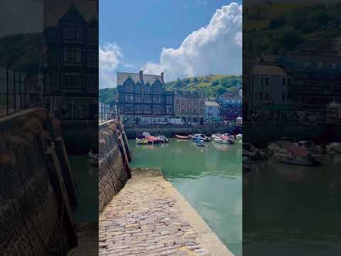
DARTMOUTH | Discovering coastal holiday town of Dartmouth Devon

Dartmouth is a charming British coastal holiday town located close to Torquay, Paignton and Brixham in the county of Devon in ...

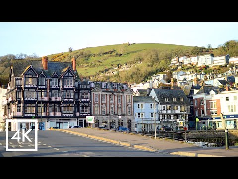
A sunrise walking tour around the historic town of Dartmouth | 4K

Todays video is filmed in the beautiful and scenic English town of Dartmouth on the South Devon coast, which is a relaxing place ...

Walking South Devon #southdevon #southwestcoastpath #walking

If you are walking in South Devon The Brownstone Froward Point circular is a very good walk indeed.Taking in the Daymark ...

Nearby Amenities

Located within 500m of 50.336697,-3.5652916
Castle Cove
Natural: bay
Source: OS_OpenData_StreetView
Lat/Long: 50.3411865/-3.5656152
Deadmans Cove
Natural: bay
Source: OS_OpenData_StreetView
Lat/Long: 50.3376815/-3.565658
Sugary Cove
Natural: bay
Source: OS_OpenData_StreetView
Lat/Long: 50.3397448/-3.5664611
Ladies Cove
Natural: bay
Source: OS_OpenData_StreetView
Lat/Long: 50.3365756/-3.5653619
Blackstone Point
Natural: headland
Source: OS_OpenData_StreetView
Lat/Long: 50.3354022/-3.5636992
Checkstone
Seamark Buoy Lateral Category: port
Seamark Buoy Lateral Colour: red
Seamark Buoy Lateral Shape: can
Seamark Buoy Lateral System: iala-a
Seamark Type: buoy_lateral
Lat/Long: 50.3407619/-3.5633772
Bench
Backrest: no
Lat/Long: 50.3357537/-3.5695984
Bench
Backrest: yes
Lat/Long: 50.3403815/-3.5672133
Historic: monument
Lat/Long: 50.33561/-3.570595
Bench
Backrest: yes
Lat/Long: 50.3408708/-3.5666286
Bench
Backrest: yes
Lat/Long: 50.3406749/-3.566706
Bench
Backrest: yes
Lat/Long: 50.3406026/-3.5670398
Bench
Lat/Long: 50.3356405/-3.564883
Information: guidepost
Survey Date: 2022-03-26
Tourism: information
Lat/Long: 50.3402434/-3.5682075
Information: guidepost
Survey Date: 2022-03-26
Tourism: information
Lat/Long: 50.3400772/-3.5682272
Survey Date: 2022-03-26
Tourism: viewpoint
Lat/Long: 50.3356147/-3.5640974
Fire Hydrant
Emergency: fire_hydrant
Fire Hydrant Type: underground
Survey Date: 2022-03-26
Lat/Long: 50.3400588/-3.5683001
Bench
Backrest: yes
Survey Date: 2022-03-26
Lat/Long: 50.3404417/-3.5679232
Life Ring
Emergency: life_ring
Survey Date: 2022-03-26
Lat/Long: 50.3402403/-3.5671284
Bench
Backrest: yes
Survey Date: 2022-03-26
Lat/Long: 50.3406275/-3.5668723
Bench
Backrest: yes
Survey Date: 2022-03-26
Lat/Long: 50.3407006/-3.5666617
Bench
Backrest: yes
Survey Date: 2022-03-26
Lat/Long: 50.3407907/-3.5666329
Bench
Backrest: yes
Survey Date: 2022-03-26
Lat/Long: 50.340931/-3.5666089
Addr Housename: Wavenden
Lat/Long: 50.3393785/-3.5676263
The data included in this document is from www.openstreetmap.org. The data is made available under ODbL.

Have you been to Ladies Cove?

Leave your review of Ladies Cove below (or comments, questions and feedback).