Compass Cove
Sea, Estuary, Creek in Devon
England
Compass Cove

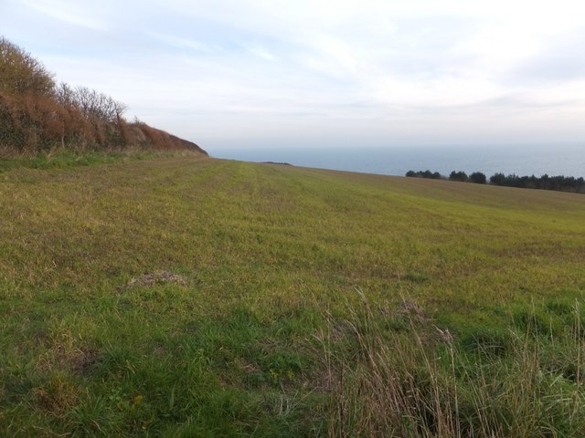
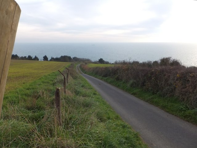
Compass Cove is a picturesque coastal area located in Devon, England. Nestled between rolling hills and overlooking the vast sea, this charming cove offers visitors a serene and idyllic retreat. The cove is known for its stunning views, diverse wildlife, and tranquil atmosphere.
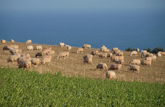
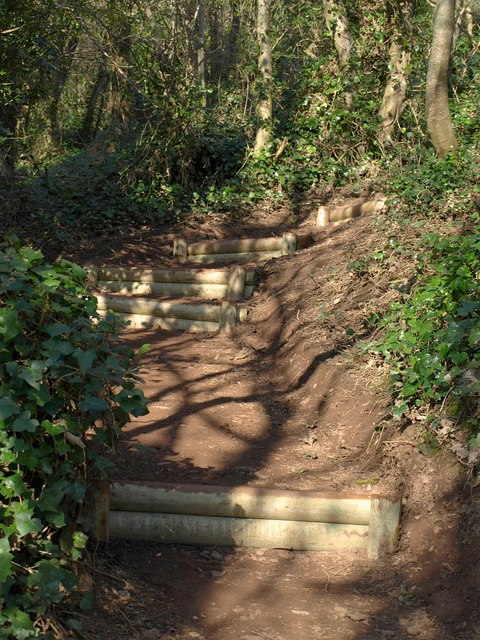
The main attraction of Compass Cove is its pristine sandy beach which stretches for approximately half a mile, providing ample space for sunbathing, picnics, and leisurely walks along the shore. The beach is flanked by towering cliffs on one side and crystal-clear waters on the other, making it a popular spot for swimming and water sports enthusiasts.
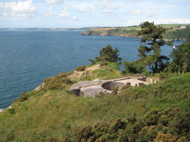
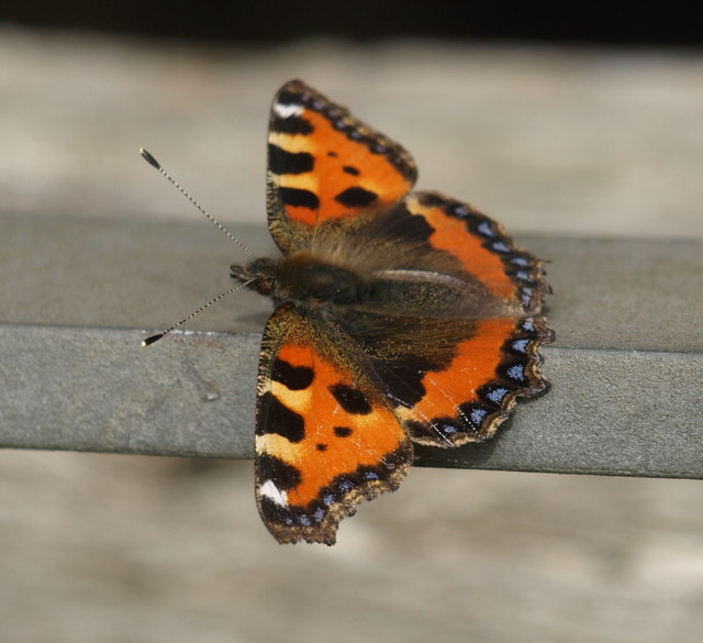
At the mouth of the cove lies a beautiful estuary, where the sea meets a winding freshwater creek. The estuary is a haven for bird watchers, as it attracts a wide variety of migratory and resident bird species. Visitors can spot elegant herons, soaring seagulls, and even the occasional osprey or kingfisher.
Exploring the creek is a must for nature lovers. As the tide ebbs and flows, it reveals hidden rock pools teeming with marine life, providing a fascinating opportunity for children and adults alike to discover crabs, small fish, and colorful sea anemones.
Compass Cove is not only a haven for nature enthusiasts but also a popular destination for those seeking peace and tranquility. With its breathtaking vistas, diverse wildlife, and calm ambience, this hidden gem in Devon offers a true escape from the hustle and bustle of everyday life.
If you have any feedback on the listing, please let us know in the comments section below.
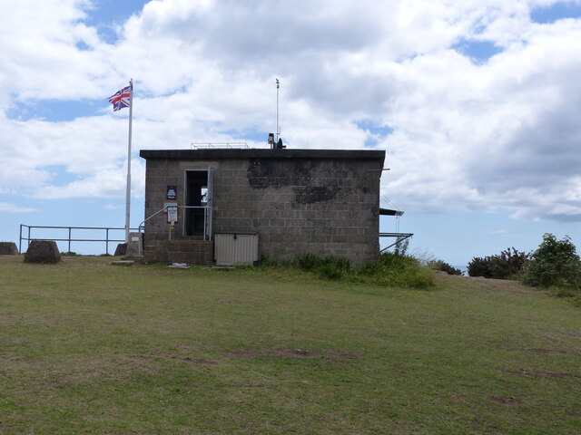
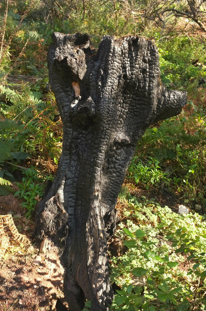
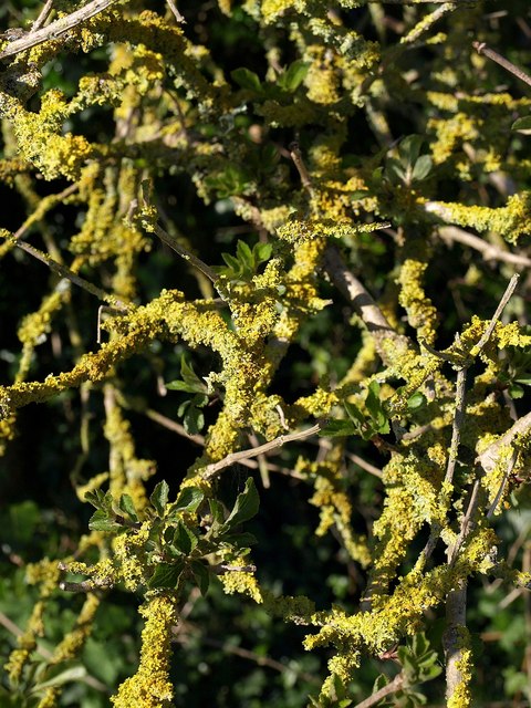
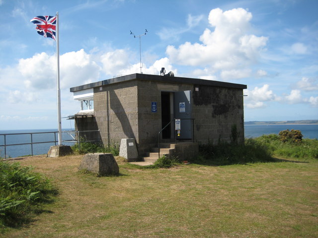
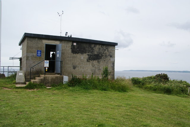
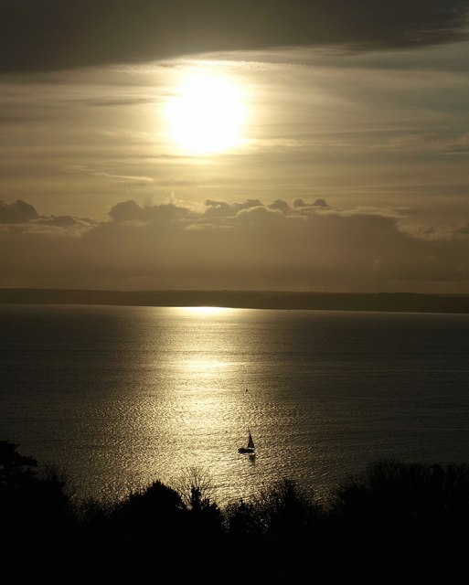
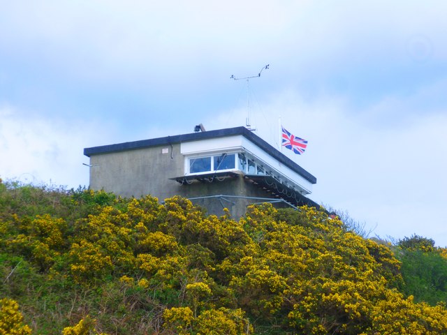
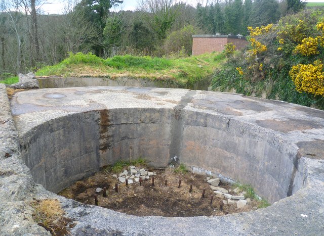
Compass Cove Images
Images are sourced within 2km of 50.333726/-3.5681728 or Grid Reference SX8849. Thanks to Geograph Open Source API. All images are credited.

Compass Cove is located at Grid Ref: SX8849 (Lat: 50.333726, Lng: -3.5681728)
Administrative County: Devon
Police Authority: Devon and Cornwall
What 3 Words
///verbs.grandest.meanings. Near Dartmouth, Devon
Nearby Locations
Related Wikis

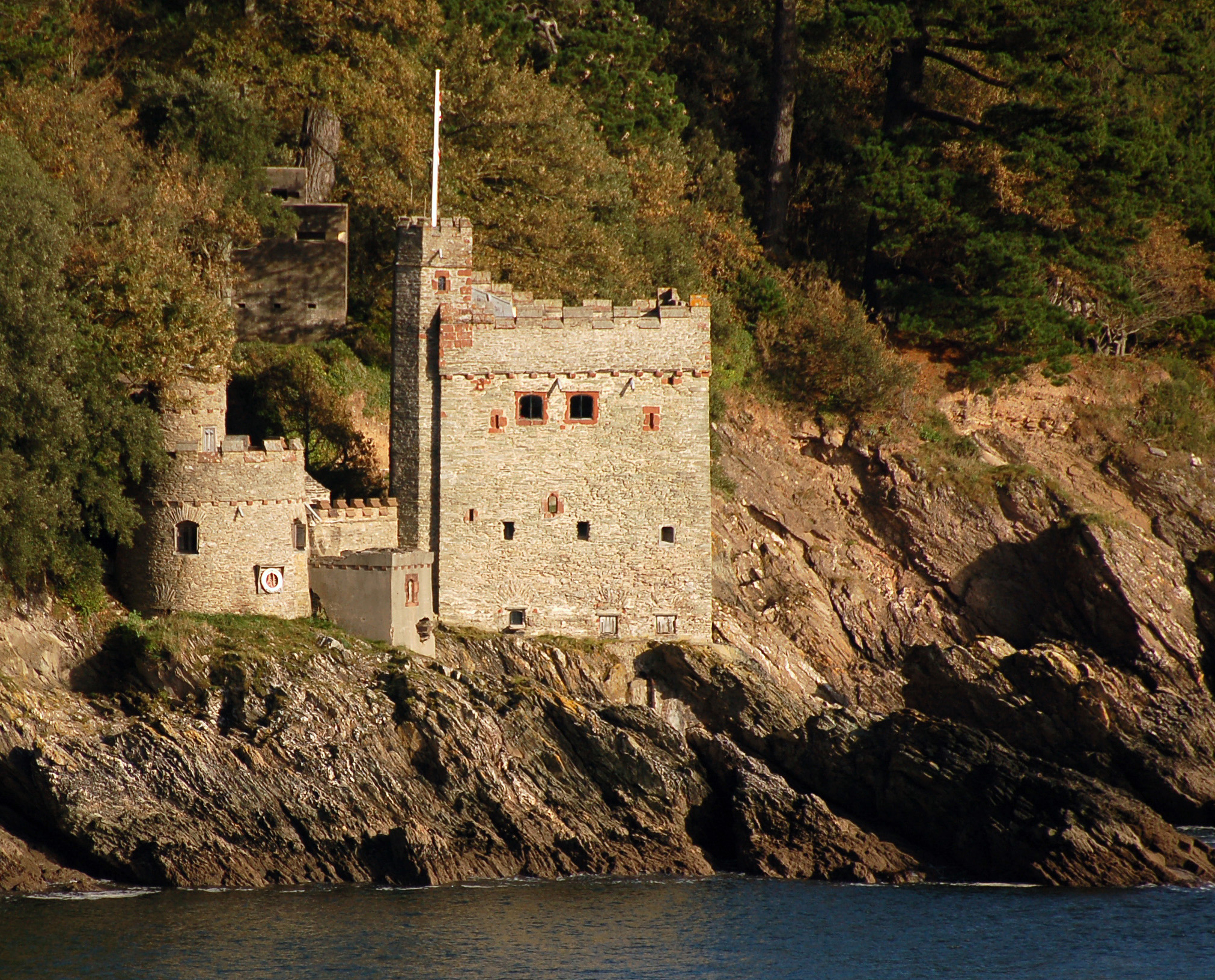
Dartmouth Castle
Dartmouth Castle is an artillery fort, built to protect Dartmouth harbour in Devon, England. The earliest parts of the castle date from the 1380s, when...

Dartmouth Friary
Dartmouth Friary was an Augustinian friary in Dartmouth, Devon, England. It was founded in 1331 and ceased to function as a friary in 1347. == Background... ==

River Dart
The River Dart is a river in Devon, England, that rises high on Dartmoor and flows for 75 kilometres (47 mi) to the sea at Dartmouth. == Name == Most hydronyms...
Kingswear Castle
Kingswear Castle is an artillery fort, built to protect Dartmouth harbour in Devon, England. It was constructed between 1491 and 1502 in response to the...

Warfleet Creek
Warfleet Creek is a small triangular tidal inlet in the west side of the River Dart estuary in England. It is near Dartmouth, Devon. It has steep rocky...

Kingswear
Kingswear is a village and civil parish in the South Hams area of the English county of Devon. The village is located on the east bank of the tidal River...

Church of St Thomas of Canterbury, Kingswear
The Church of St Thomas of Canterbury is situated in the village of Kingswear in the English county of Devon, it stands in a slightly elevated position...

Kingswear railway station
Kingswear railway station is the terminus of the Dartmouth Steam Railway, a heritage railway in Devon, England. It is situated in the centre of Kingswear...
Nearby Amenities
Located within 500m of 50.333726,-3.5681728Have you been to Compass Cove?
Leave your review of Compass Cove below (or comments, questions and feedback).