Shinglehill Cove

Sea, Estuary, Creek in Devon South Hams

England

Shinglehill Cove

Boat off Inner Froward Point A small boat crosses Start Bay illuminated by the winter sun, seen from the Military road above the coastal battery.
Boat off Inner Froward Point Credit: Derek Harper

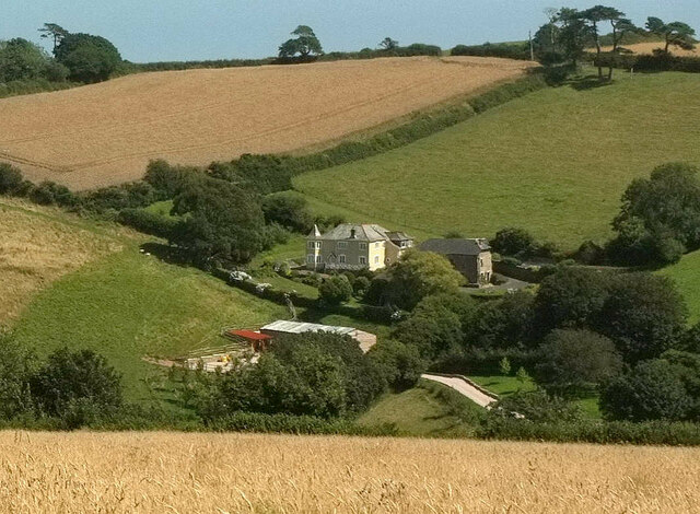
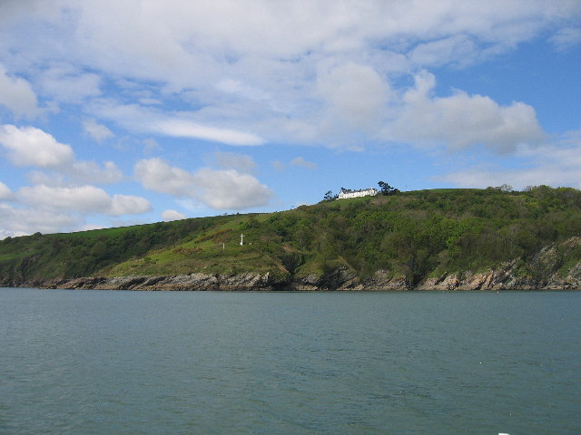
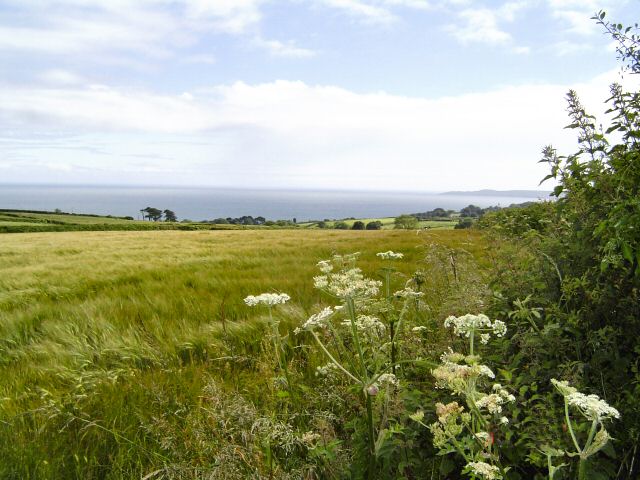
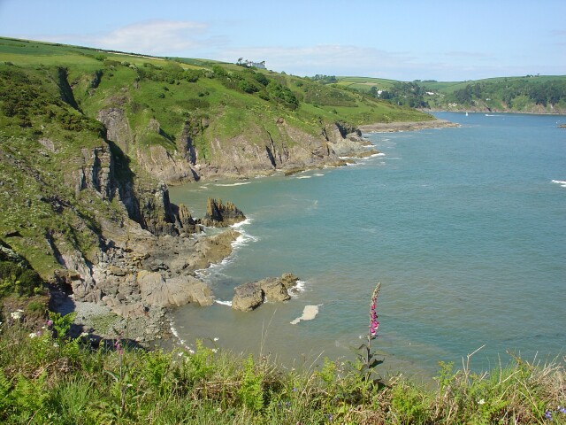
Shinglehill Cove is a picturesque coastal area located in Devon, England. Situated along the southern coast, it offers stunning views of the sea, estuary, and creek that make it a popular destination for nature enthusiasts and beachgoers alike.

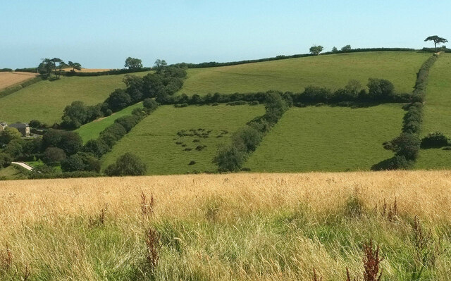
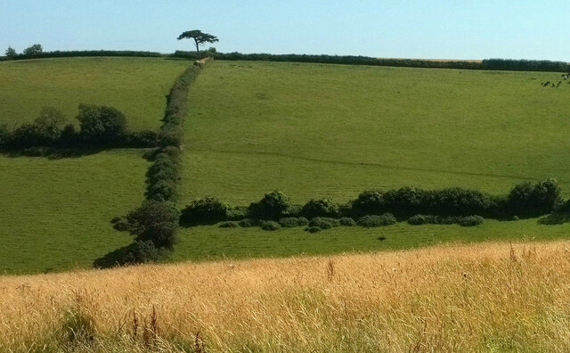
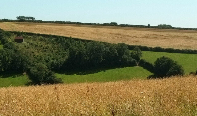
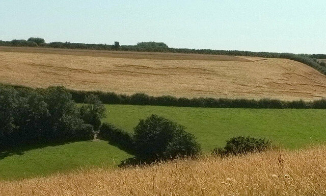
The cove is known for its shingle beach, which stretches for several miles and is perfect for leisurely walks or relaxing sunbathing sessions. The beach is backed by rugged cliffs that provide a dramatic backdrop to the area. Visitors can enjoy breathtaking panoramic views of the sea, with its crystal-clear waters and gentle waves.

The estuary at Shinglehill Cove is a significant feature of the area, as it is home to a diverse range of wildlife. The estuary provides a natural habitat for various bird species, including herons, gulls, and wading birds. Birdwatchers can often be found observing the avian residents in their natural environment.

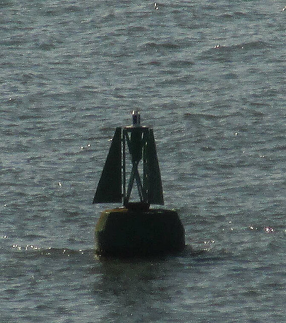
A tranquil creek meanders through the cove, offering a peaceful spot for fishing or boating. The calm waters of the creek are perfect for kayaking or paddleboarding, allowing visitors to explore the coastline from a different perspective.

Shinglehill Cove is also a popular spot for coastal walks, with well-maintained paths that wind their way along the cliffs and offer breathtaking views of the surrounding countryside. The area is dotted with charming seaside cottages, adding to the allure of this coastal gem.

Overall, Shinglehill Cove is a haven for those seeking natural beauty and tranquility. Whether you are looking to soak up the sun on the shingle beach, observe wildlife in the estuary, or explore the creek by boat, this coastal retreat has something for everyone.

If you have any feedback on the listing, please let us know in the comments section below.

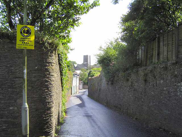
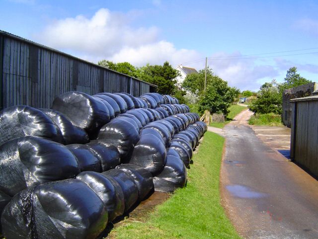
Shinglehill Cove Images

Images are sourced within 2km of 50.328145/-3.5718388 or Grid Reference SX8848. Thanks to Geograph Open Source API. All images are credited.

Boat off Inner Froward Point A small boat crosses Start Bay illuminated by the winter sun, seen from the Military road above the coastal battery.
Boat off Inner Froward Point
A small boat crosses Start Bay illuminated by the winter sun, seen from the Military road above the coastal battery.
Fields near Lower Weeke Looking right from <a href="https://www.geograph.org.uk/photo/6926864">SX8850 : Across the valley from Swannaton Road</a>.
Fields near Lower Weeke
Fields near Lower Weeke Looking right from <a href="https://www.geograph.org.uk/photo/6926887">SX8749 : Fields near Lower Weeke</a>, with overlap.
Fields near Lower Weeke
Looking right from SX8749 : Fields near Lower Weeke, with overlap.
Trees by young wood, Weeke Looking right from <a href="https://www.geograph.org.uk/photo/6926894">SX8749 : Fields near Lower Weeke</a>. The wood also appears in <a href="https://www.geograph.org.uk/photo/6608416">SX8749 : Valley, Week</a>.
Trees by young wood, Weeke
Looking right from SX8749 : Fields near Lower Weeke. The wood also appears in SX8749 : Valley, Week.
Farmland, Weeke Looking right from <a href="https://www.geograph.org.uk/photo/6927011">SX8749 : Trees by young wood, Weeke</a>, with overlap.
Farmland, Weeke
Looking right from SX8749 : Trees by young wood, Weeke, with overlap.
Lower Weeke Seen from the gateway in <a href="https://www.geograph.org.uk/photo/6927158">SX8750 : Gateway, Swannaton Road</a>.
Lower Weeke
Seen from the gateway in SX8750 : Gateway, Swannaton Road.
Valley, Weeke A view towards Weeke Cottage from Swannaton. Beyond it, Dartmouth footpath 6 climbs beside a hedge.
Valley, Weeke
A view towards Weeke Cottage from Swannaton. Beyond it, Dartmouth footpath 6 climbs beside a hedge.
Buoy off Newfoundland Cove Presumably a bell buoy, but an interesting shape, by the entrance to the River Dart.
Buoy off Newfoundland Cove
Presumably a bell buoy, but an interesting shape, by the entrance to the River Dart.
The South West Coast Path at The Warren
Old Well Site, Stoke Fleming In Shady Lane, restored 2000 - 2001
Old Well Site, Stoke Fleming
In Shady Lane, restored 2000 - 2001
Newfoundland cove, mouth of River Dart Seen from the sea, with the Day Marker Navigation tower on the hill behind in an adjacent square
Newfoundland cove, mouth of River Dart
Seen from the sea, with the Day Marker Navigation tower on the hill behind in an adjacent square
Blackstone Point The houses are the former Coastguard Station
Blackstone Point
The houses are the former Coastguard Station
Stoke Fleming This is the A379 from Dartmouth to Kingsbridge. It gets a bit narrow within this village and is the cause of some summer traffic slow downs.
Stoke Fleming
This is the A379 from Dartmouth to Kingsbridge. It gets a bit narrow within this village and is the cause of some summer traffic slow downs.
Little Dartmouth The mid summer hay is in.
Little Dartmouth
The mid summer hay is in.
South of Dartmouth The roadside view just outside of Dartmouth. Far in the distance is Start Point.
South of Dartmouth
The roadside view just outside of Dartmouth. Far in the distance is Start Point.
Compass Cove East of Little Dartmouth and reached via a partially hidden trail that leads to a steep wooden step descent to the beach.
Compass Cove
East of Little Dartmouth and reached via a partially hidden trail that leads to a steep wooden step descent to the beach.
Combe Point Looking north across Shinglehill, Willow and Compass Coves to Blackstone Point
Combe Point
Looking north across Shinglehill, Willow and Compass Coves to Blackstone Point
Coast west of Warren Point A short diversion from the SW Coast Path leads to the gorsy headland of Warren Point. This view is west towards Stoke Fleming on the further headland, past several coves.
Coast west of Warren Point
A short diversion from the SW Coast Path leads to the gorsy headland of Warren Point. This view is west towards Stoke Fleming on the further headland, past several coves.
Show me another place!

Shinglehill Cove is located at Grid Ref: SX8848 (Lat: 50.328145, Lng: -3.5718388)

Administrative County: Devon

District: South Hams

Police Authority: Devon and Cornwall

What 3 Words

///rolled.imperious.bench. Near Dartmouth, Devon

Related Wikis

Dartmouth Castle

Dartmouth Castle is an artillery fort, built to protect Dartmouth harbour in Devon, England. The earliest parts of the castle date from the 1380s, when...

Dartmouth Friary

Dartmouth Friary was an Augustinian friary in Dartmouth, Devon, England. It was founded in 1331 and ceased to function as a friary in 1347. == Background... ==

Warfleet Creek

Warfleet Creek is a small triangular tidal inlet in the west side of the River Dart estuary in England. It is near Dartmouth, Devon. It has steep rocky...

River Dart

The River Dart is a river in Devon, England, that rises high on Dartmoor and flows for 75 kilometres (47 mi) to the sea at Dartmouth. == Name == Most hydronyms...

Nearby Amenities

Located within 500m of 50.328145,-3.5718388
Bench
Backrest: no
Lat/Long: 50.3296747/-3.5739116
Bench
Backrest: yes
Lat/Long: 50.3272963/-3.5738526
Information: guidepost
Survey Date: 2022-03-26
Tourism: information
Lat/Long: 50.3304394/-3.5739732
The data included in this document is from www.openstreetmap.org. The data is made available under ODbL.

Have you been to Shinglehill Cove?

Leave your review of Shinglehill Cove below (or comments, questions and feedback).