Outer Combe Rocks

Island in Devon

England

Outer Combe Rocks

Buoy off Newfoundland Cove Presumably a bell buoy, but an interesting shape, by the entrance to the River Dart.
Buoy off Newfoundland Cove Credit: Derek Harper

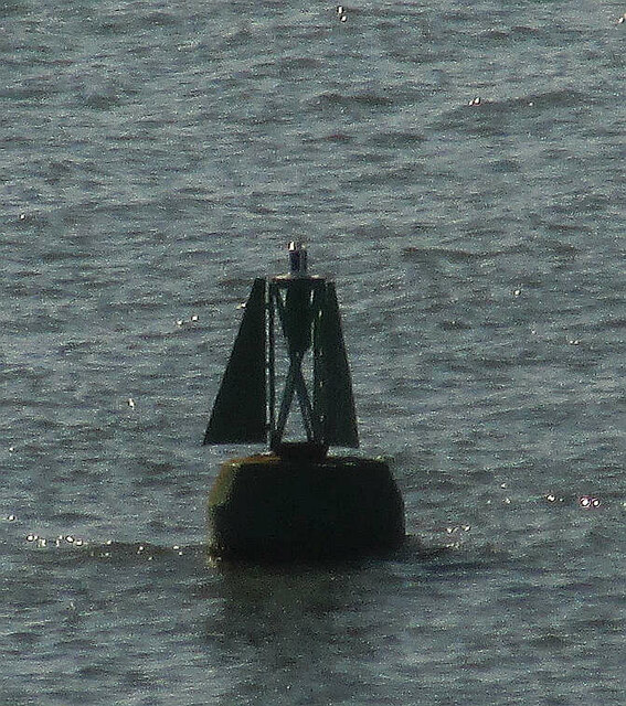
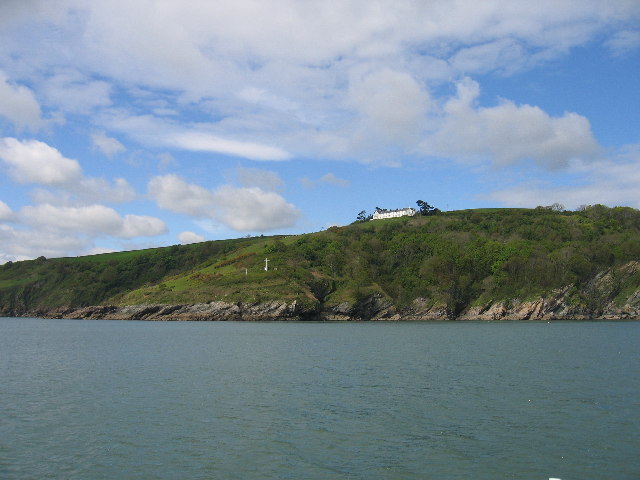
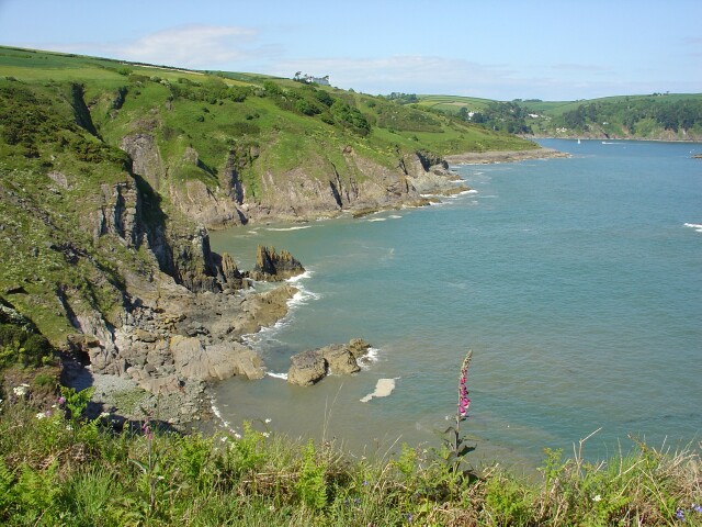
Outer Combe Rocks is a small island located off the coast of Devon in southwestern England. It is situated approximately 2 kilometers from the mainland and covers an area of about 1.5 hectares. The island is part of the South Devon Area of Outstanding Natural Beauty, known for its stunning coastal landscapes and diverse wildlife.

Outer Combe Rocks is characterized by its rugged and rocky terrain, with towering cliffs and jagged outcrops. The island is predominantly composed of limestone, which has been shaped by the powerful forces of the sea over thousands of years. These geological features make Outer Combe Rocks a popular destination for rock climbers and nature enthusiasts alike.

Due to its remote location and limited accessibility, the island remains largely untouched by human activity. As a result, it serves as an important sanctuary for various seabird species, including guillemots, razorbills, and puffins. The surrounding waters are also teeming with marine life, making it an ideal spot for snorkeling and diving.

Visitors to Outer Combe Rocks can reach the island by boat or kayak, although access is highly dependent on weather conditions and tides. It is important to note that there are no facilities or amenities available on the island, so visitors must come prepared with their own supplies and equipment.

Overall, Outer Combe Rocks offers a unique and unspoiled natural experience, showcasing the rugged beauty of the Devon coastline and providing a habitat for a wide range of flora and fauna.

If you have any feedback on the listing, please let us know in the comments section below.

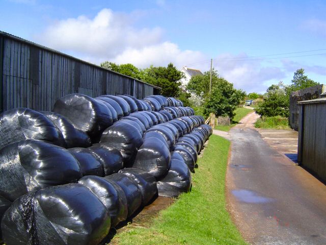
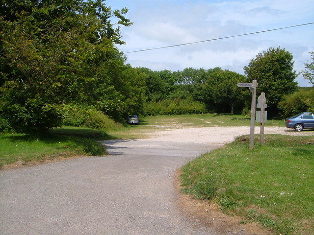
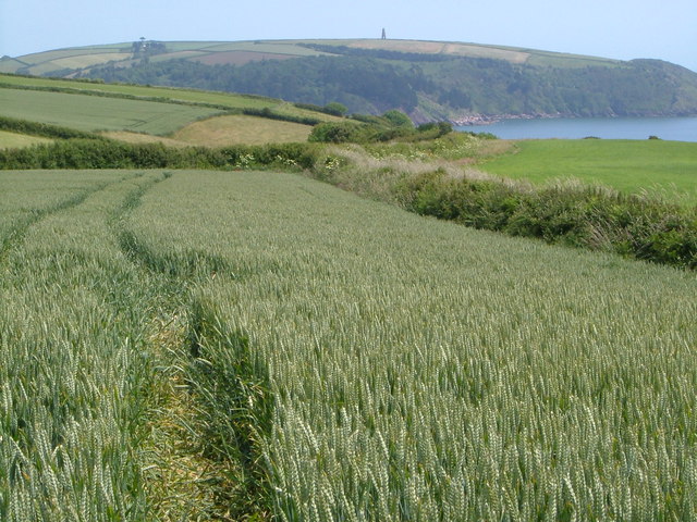
Outer Combe Rocks Images

Images are sourced within 2km of 50.325049/-3.5713292 or Grid Reference SX8848. Thanks to Geograph Open Source API. All images are credited.

Buoy off Newfoundland Cove Presumably a bell buoy, but an interesting shape, by the entrance to the River Dart.
Buoy off Newfoundland Cove
Presumably a bell buoy, but an interesting shape, by the entrance to the River Dart.
Old Well Site, Stoke Fleming In Shady Lane, restored 2000 - 2001
Old Well Site, Stoke Fleming
In Shady Lane, restored 2000 - 2001
Blackstone Point The houses are the former Coastguard Station
Blackstone Point
The houses are the former Coastguard Station
Stoke Fleming This is the A379 from Dartmouth to Kingsbridge. It gets a bit narrow within this village and is the cause of some summer traffic slow downs.
Stoke Fleming
This is the A379 from Dartmouth to Kingsbridge. It gets a bit narrow within this village and is the cause of some summer traffic slow downs.
Little Dartmouth The mid summer hay is in.
Little Dartmouth
The mid summer hay is in.
Compass Cove East of Little Dartmouth and reached via a partially hidden trail that leads to a steep wooden step descent to the beach.
Compass Cove
East of Little Dartmouth and reached via a partially hidden trail that leads to a steep wooden step descent to the beach.
Combe Point Looking north across Shinglehill, Willow and Compass Coves to Blackstone Point
Combe Point
Looking north across Shinglehill, Willow and Compass Coves to Blackstone Point
Coast west of Warren Point A short diversion from the SW Coast Path leads to the gorsy headland of Warren Point. This view is west towards Stoke Fleming on the further headland, past several coves.
Coast west of Warren Point
A short diversion from the SW Coast Path leads to the gorsy headland of Warren Point. This view is west towards Stoke Fleming on the further headland, past several coves.
National Trust car park, Little Dartmouth Typically sylvan and grassy, this NT car park near Redlap is right on the South West Coast Path.
National Trust car park, Little Dartmouth
Typically sylvan and grassy, this NT car park near Redlap is right on the South West Coast Path.
View near Little Dartmouth A view ENE as the coast path, which for some 3 miles west of here is not especially coastal in nature, re-approaches the sea at Warren Point. Across the fields is the mouth of the Dart, with the daymark <a href="https://www.geograph.org.uk/photo/46172">SX9050 : Day Mark Tower, near Froward Point Kingswear S. Devon</a> beyond. This is roughly the same view as <a href="https://www.geograph.org.uk/photo/6747552">SX8748 : Farmland above Warren Cove</a>, taken in autumn over 14 years later.
View near Little Dartmouth
A view ENE as the coast path, which for some 3 miles west of here is not especially coastal in nature, re-approaches the sea at Warren Point. Across the fields is the mouth of the Dart, with the daymark SX9050 : Day Mark Tower, near Froward Point Kingswear S. Devon beyond. This is roughly the same view as SX8748 : Farmland above Warren Cove, taken in autumn over 14 years later.
Coast path near Warren Point The slopes above the cliffs at Warren Cove are covered in gorse and bracken.
Coast path near Warren Point
The slopes above the cliffs at Warren Cove are covered in gorse and bracken.
Dancing Beggars A line of rocks running parallel to the trend of the coast a few tens of metres off Warren Point.
Dancing Beggars
A line of rocks running parallel to the trend of the coast a few tens of metres off Warren Point.
Combe Rocks & Western Combe Cove Dangerous rocks southwest of Combe Point close to the Dartmouth entrance. Seen from the lower coast path between Warren Point and Combe Point.
Combe Rocks & Western Combe Cove
Dangerous rocks southwest of Combe Point close to the Dartmouth entrance. Seen from the lower coast path between Warren Point and Combe Point.
Stonecrop near Warren Point Sedum anglicum in rocks above the point.
Stonecrop near Warren Point
Sedum anglicum in rocks above the point.
Stoke Fleming The centre of Stoke Fleming, where the A379 turns right from New Road into the narrow Church Road.
Stoke Fleming
The centre of Stoke Fleming, where the A379 turns right from New Road into the narrow Church Road.
By Compass Cove Taken on the coast path as it starts to ascend around Compass Cove looking towards Blackstone Point and the entrance to the Dart estuary.
By Compass Cove
Taken on the coast path as it starts to ascend around Compass Cove looking towards Blackstone Point and the entrance to the Dart estuary.
Chapel Lane, Stoke Fleming The chimney stack and cowls of the house opposite cast a curious shadow on a wall at the entrance to this little cul-de-sac off the A379.
Chapel Lane, Stoke Fleming
The chimney stack and cowls of the house opposite cast a curious shadow on a wall at the entrance to this little cul-de-sac off the A379.
Stoke Fleming The A379 approaches the centre of the village - a traffic-free moment on a Bank Holiday Saturday. Immediately on the left is <a href="https://www.geograph.org.uk/photo/535364">SX8648 : Chapel Lane, Stoke Fleming</a>.
Stoke Fleming
The A379 approaches the centre of the village - a traffic-free moment on a Bank Holiday Saturday. Immediately on the left is SX8648 : Chapel Lane, Stoke Fleming.
Show me another place!

Outer Combe Rocks is located at Grid Ref: SX8848 (Lat: 50.325049, Lng: -3.5713292)

Administrative County: Devon

Police Authority: Devon and Cornwall

What 3 Words

///excusing.ladders.shifting. Near Dartmouth, Devon

Related Wikis

Dartmouth Castle

Dartmouth Castle is an artillery fort, built to protect Dartmouth harbour in Devon, England. The earliest parts of the castle date from the 1380s, when...

Dartmouth Friary

Dartmouth Friary was an Augustinian friary in Dartmouth, Devon, England. It was founded in 1331 and ceased to function as a friary in 1347. == Background... ==
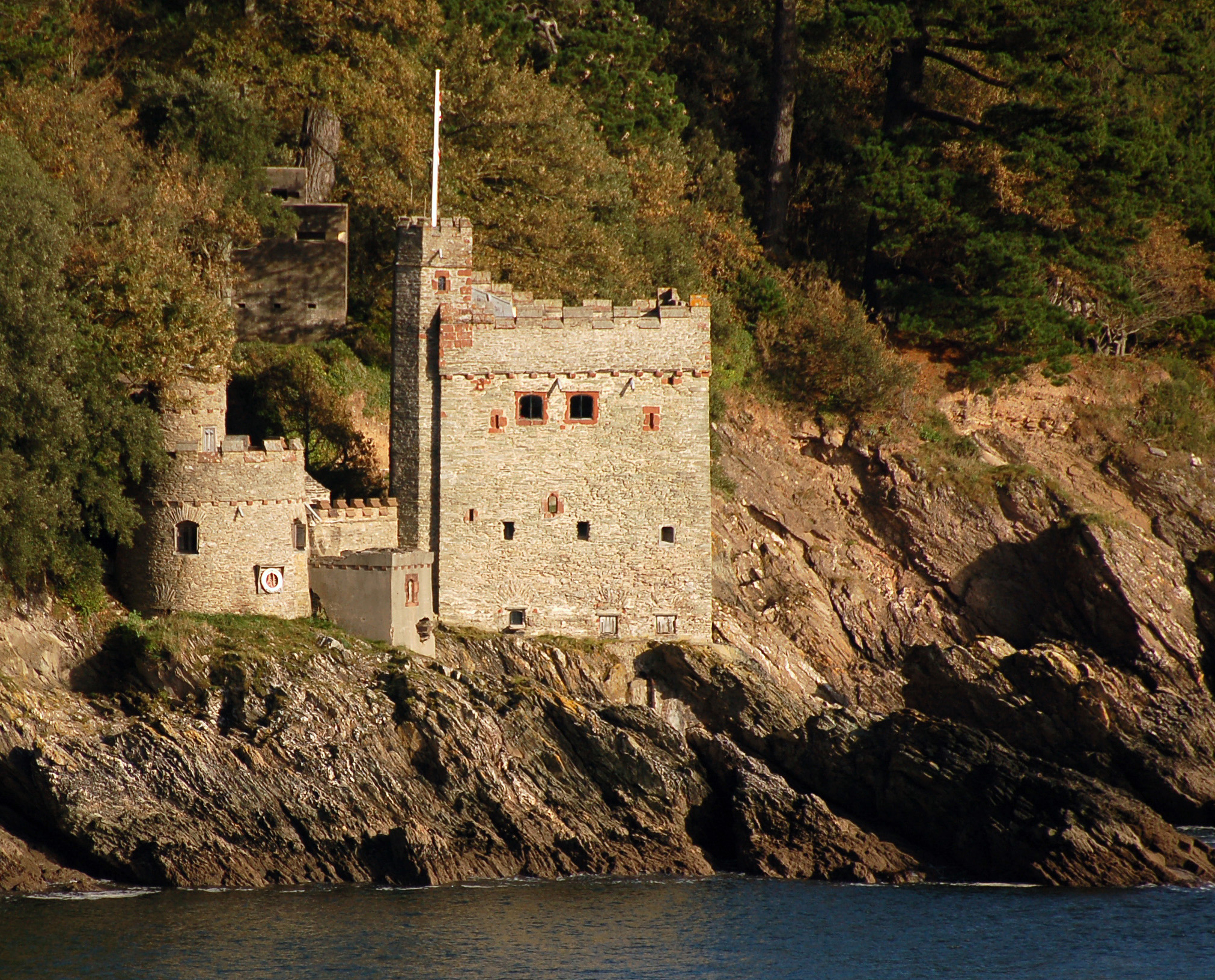
Kingswear Castle

Kingswear Castle is an artillery fort, built to protect Dartmouth harbour in Devon, England. It was constructed between 1491 and 1502 in response to the...

Warfleet Creek

Warfleet Creek is a small triangular tidal inlet in the west side of the River Dart estuary in England. It is near Dartmouth, Devon. It has steep rocky...

Nearby Amenities

Located within 500m of 50.325049,-3.5713292
Bench
Backrest: yes
Lat/Long: 50.3272963/-3.5738526
The data included in this document is from www.openstreetmap.org. The data is made available under ODbL.

Have you been to Outer Combe Rocks?

Leave your review of Outer Combe Rocks below (or comments, questions and feedback).