Meg Rocks
Island in Devon
England
Meg Rocks
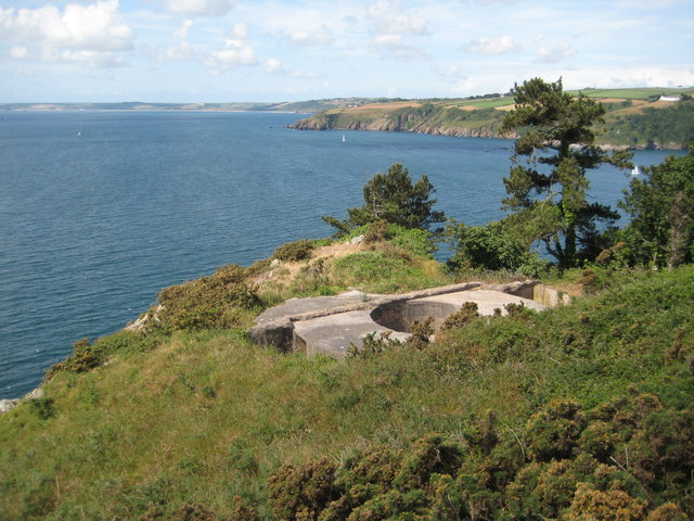
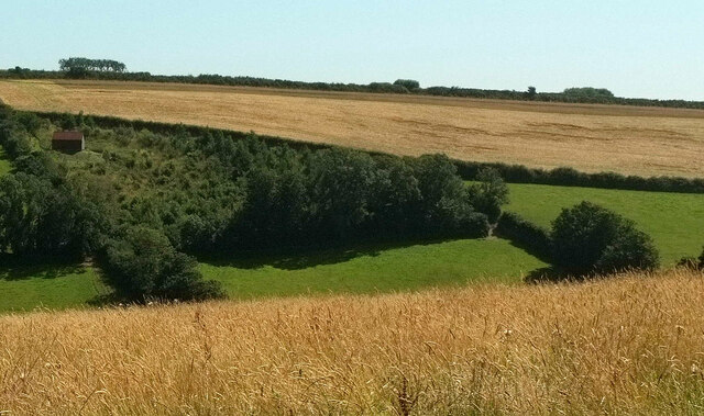
Meg Rocks is a small group of uninhabited islands located off the coast of Devon, a county in southwestern England. Situated in the English Channel, these rocky islets are known for their unique geological features and rich marine life. Meg Rocks is a part of the larger Lundy Island Marine Nature Reserve, which is designated as a Special Area of Conservation due to its ecological importance.
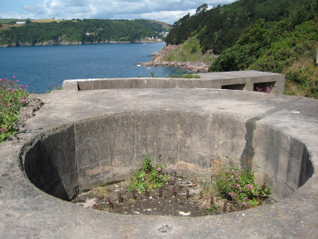
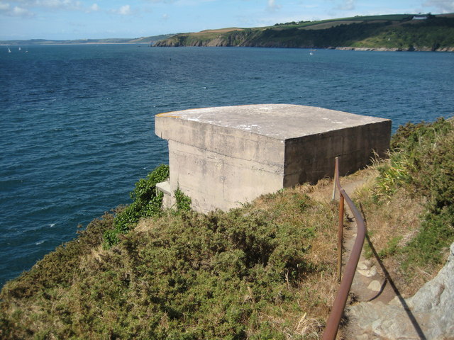
The main island, Meg Rock, is approximately 200 meters long and 100 meters wide, with a rugged coastline consisting of towering cliffs and rocky outcrops. The terrain is predominantly composed of granite, creating a striking contrast against the deep blue waters that surround the islands. These rocky formations make Meg Rocks a popular destination for rock climbers and nature enthusiasts seeking breathtaking views and adventurous experiences.
Despite their small size, Meg Rocks are home to a diverse array of flora and fauna. Seabirds such as guillemots, razorbills, and puffins can be spotted nesting on the cliffs, while seals and dolphins can often be seen swimming in the surrounding waters. The area is also known for its vibrant underwater ecosystem, making it a favorite spot for divers and snorkelers.
Due to its remote location and lack of facilities, Meg Rocks are not accessible to the general public. However, boat trips and guided tours are available for those interested in exploring the natural beauty of this unique island group.
If you have any feedback on the listing, please let us know in the comments section below.
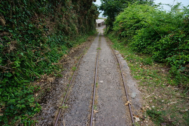
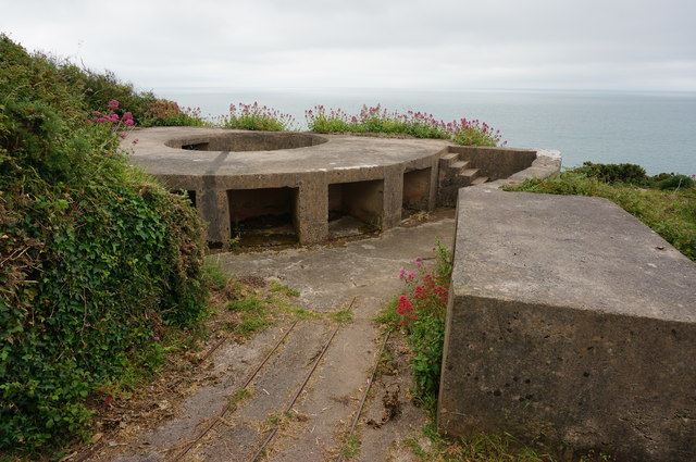
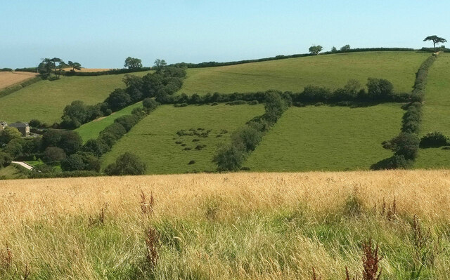
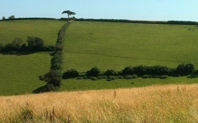
Meg Rocks Images
Images are sourced within 2km of 50.32943/-3.5686215 or Grid Reference SX8848. Thanks to Geograph Open Source API. All images are credited.

Meg Rocks is located at Grid Ref: SX8848 (Lat: 50.32943, Lng: -3.5686215)
Administrative County: Devon
Police Authority: Devon and Cornwall
What 3 Words
///chins.throat.dreaming. Near Dartmouth, Devon
Nearby Locations
Related Wikis

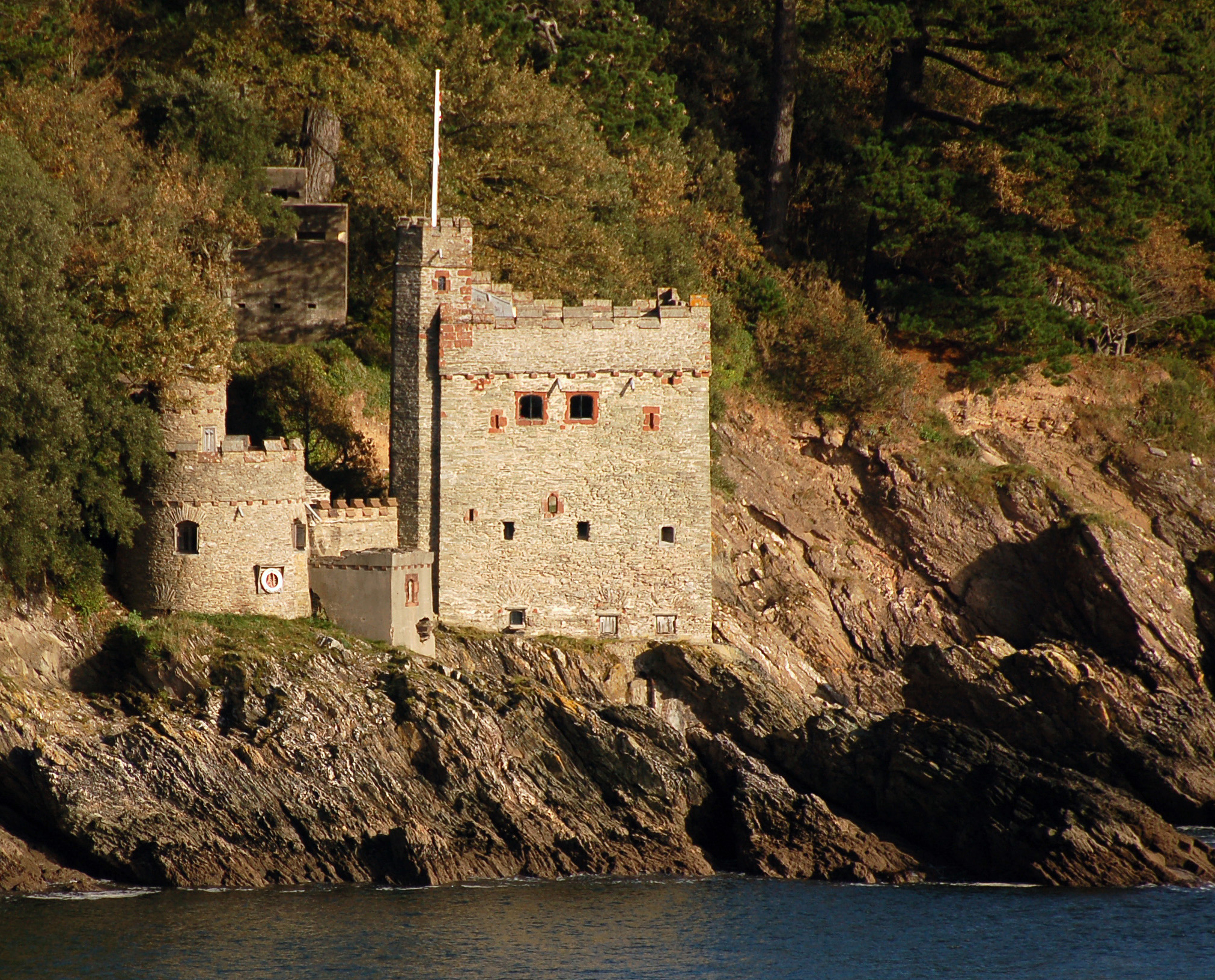
Dartmouth Castle
Dartmouth Castle is an artillery fort, built to protect Dartmouth harbour in Devon, England. The earliest parts of the castle date from the 1380s, when...

Dartmouth Friary
Dartmouth Friary was an Augustinian friary in Dartmouth, Devon, England. It was founded in 1331 and ceased to function as a friary in 1347. == Background... ==
Kingswear Castle
Kingswear Castle is an artillery fort, built to protect Dartmouth harbour in Devon, England. It was constructed between 1491 and 1502 in response to the...

River Dart
The River Dart is a river in Devon, England, that rises high on Dartmoor and flows for 75 kilometres (47 mi) to the sea at Dartmouth. == Name == Most hydronyms...

Warfleet Creek
Warfleet Creek is a small triangular tidal inlet in the west side of the River Dart estuary in England. It is near Dartmouth, Devon. It has steep rocky...

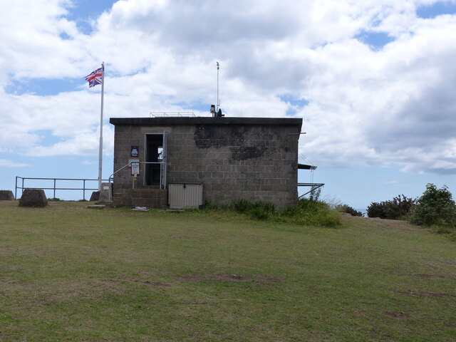
NCI Froward Point
NCI Froward Point is a National Coastwatch Institution (NCI) lookout station at Inner Froward Point, at the easterly side of the mouth of the River Dart...

Kingswear
Kingswear is a village and civil parish in the South Hams area of the English county of Devon. The village is located on the east bank of the tidal River...

Church of St Thomas of Canterbury, Kingswear
The Church of St Thomas of Canterbury is situated in the village of Kingswear in the English county of Devon, it stands in a slightly elevated position...
Related Videos

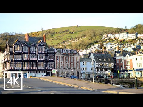
DARTMOUTH | Discovering coastal holiday town of Dartmouth Devon
Dartmouth is a charming British coastal holiday town located close to Torquay, Paignton and Brixham in the county of Devon in ...
A sunrise walking tour around the historic town of Dartmouth | 4K
Todays video is filmed in the beautiful and scenic English town of Dartmouth on the South Devon coast, which is a relaxing place ...

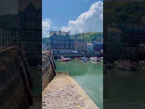
1 DAY IN DARTMOUTH | DEVON TRAVEL GUIDE
Spend 1 day in Dartmouth with us during our Devon vacation. I loved how picturesque Dartmouth is. The colourful houses are ...
Nearby Amenities
Located within 500m of 50.32943,-3.5686215Have you been to Meg Rocks?
Leave your review of Meg Rocks below (or comments, questions and feedback).