Combe Point
Coastal Feature, Headland, Point in Devon South Hams
England
Combe Point
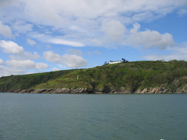
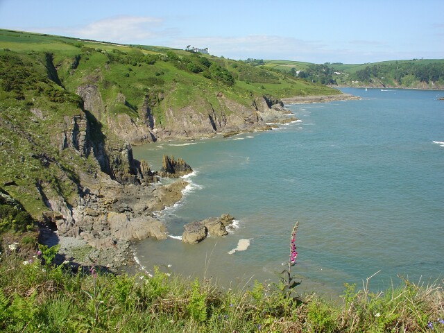
Combe Point is a prominent coastal feature located on the southern coast of Devon, England. It is classified as a headland, also known as a point, and is situated near the small village of Combe Martin.
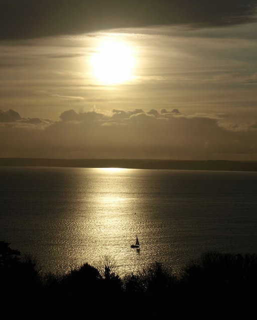
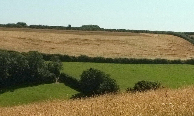
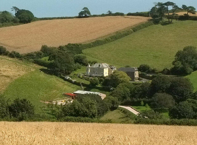
The headland of Combe Point is characterized by its steep cliffs that rise dramatically from the sea, offering breathtaking panoramic views of the surrounding coastline. These cliffs are composed predominantly of rugged rocks, such as slates and sandstones, which have been shaped by the powerful forces of erosion over millions of years.
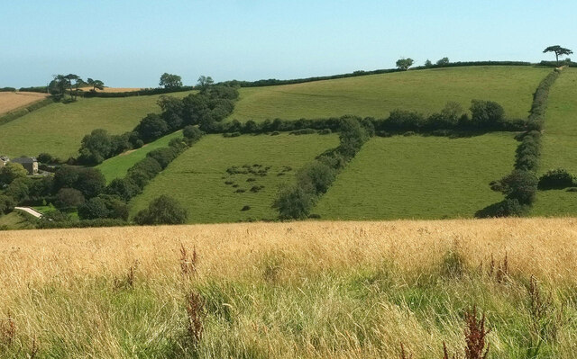
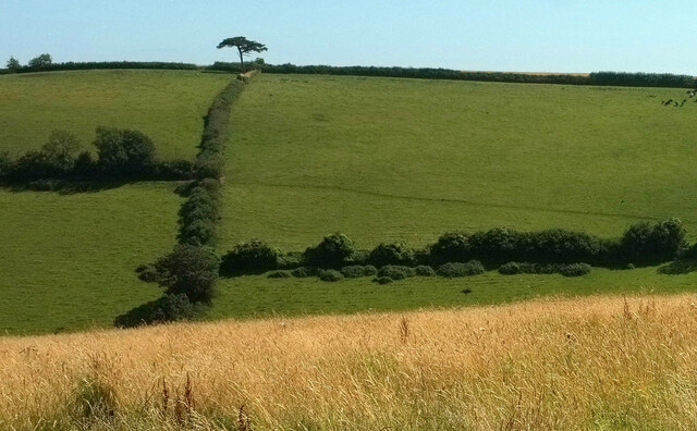
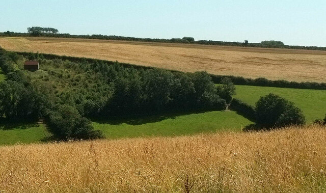
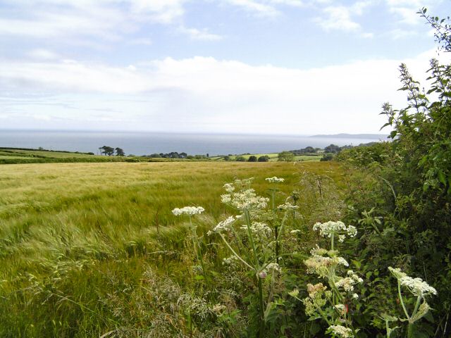
The headland is a popular destination for hikers, nature enthusiasts, and photographers due to its stunning natural beauty and diverse wildlife. The surrounding area is abundant in flora and fauna, with wildflowers, grasses, and shrubs adorning the cliffs, and seabirds nesting in the crevices. The headland is also known for its rich marine life, with seals often spotted basking on the rocks and dolphins occasionally seen swimming in the surrounding waters.
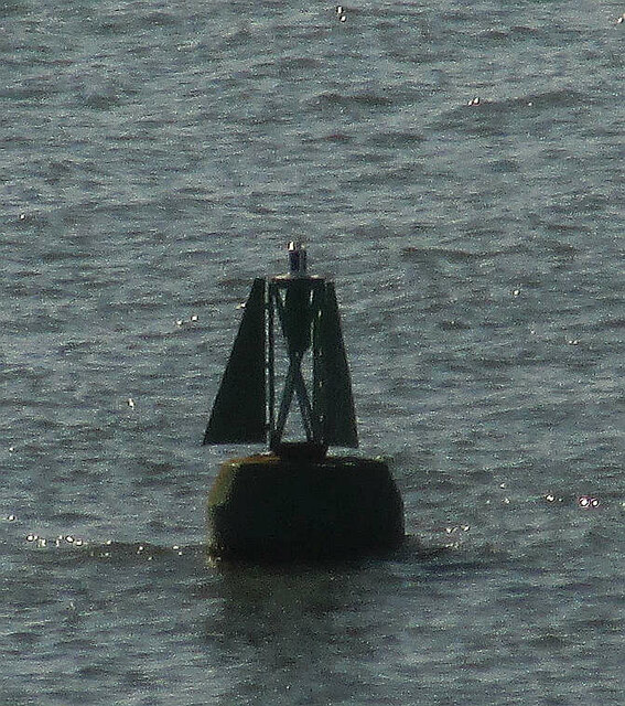
Combe Point offers visitors a range of outdoor activities, including coastal walks, birdwatching, and rock climbing. There are well-established hiking trails that lead to the headland, providing stunning views of the rugged coastline and the open sea. Additionally, the headland is a popular spot for fishing enthusiasts, who can cast their lines from the rocky outcrops into the deep waters below.
Overall, Combe Point is a captivating coastal feature that showcases the raw beauty of the Devon coastline. Its towering cliffs, diverse wildlife, and recreational opportunities make it a must-visit destination for both locals and tourists alike.
If you have any feedback on the listing, please let us know in the comments section below.
Combe Point Images
Images are sourced within 2km of 50.327236/-3.5712468 or Grid Reference SX8848. Thanks to Geograph Open Source API. All images are credited.


Combe Point is located at Grid Ref: SX8848 (Lat: 50.327236, Lng: -3.5712468)
Administrative County: Devon
District: South Hams
Police Authority: Devon and Cornwall
What 3 Words
///disengage.called.bulbs. Near Dartmouth, Devon
Nearby Locations
Related Wikis

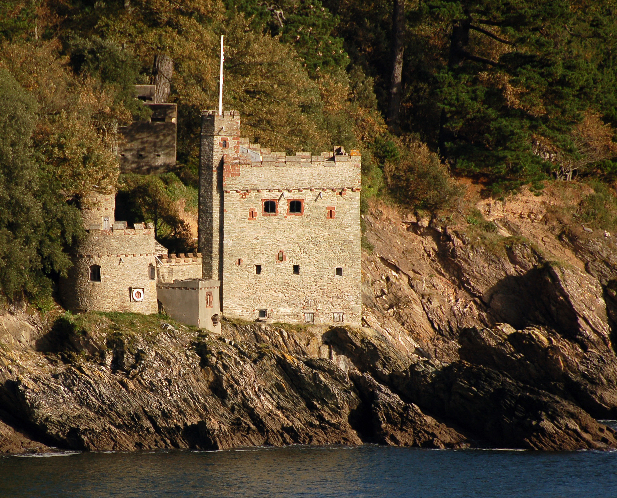
Dartmouth Castle
Dartmouth Castle is an artillery fort, built to protect Dartmouth harbour in Devon, England. The earliest parts of the castle date from the 1380s, when...

Dartmouth Friary
Dartmouth Friary was an Augustinian friary in Dartmouth, Devon, England. It was founded in 1331 and ceased to function as a friary in 1347. == Background... ==
Kingswear Castle
Kingswear Castle is an artillery fort, built to protect Dartmouth harbour in Devon, England. It was constructed between 1491 and 1502 in response to the...

Warfleet Creek
Warfleet Creek is a small triangular tidal inlet in the west side of the River Dart estuary in England. It is near Dartmouth, Devon. It has steep rocky...
Nearby Amenities
Located within 500m of 50.327236,-3.5712468Have you been to Combe Point?
Leave your review of Combe Point below (or comments, questions and feedback).