Blackstone Point
Coastal Feature, Headland, Point in Devon South Hams
England
Blackstone Point

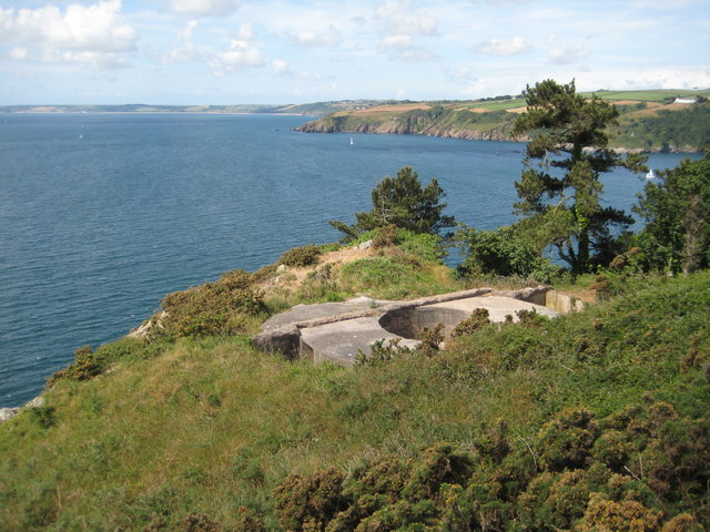
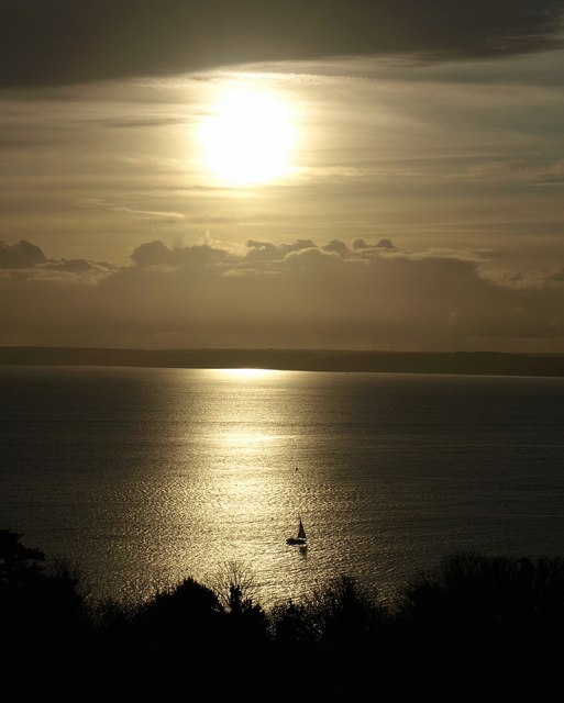
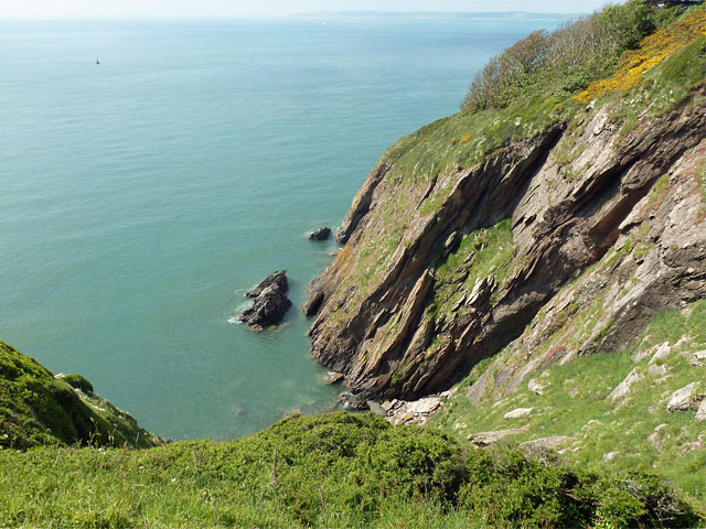
Blackstone Point is a prominent coastal feature located in Devon, England. Situated on the southern coast of the county, this headland juts out into the English Channel, offering stunning panoramic views of the coastline and the surrounding area.
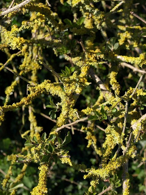
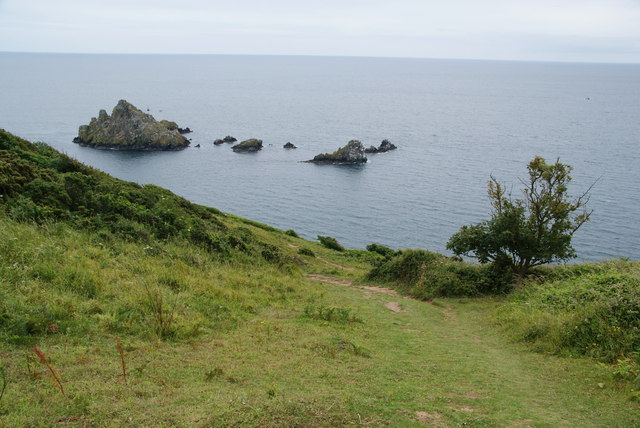
The point is characterized by its rugged cliffs, which are composed of dark blackstone, giving it its name. These cliffs provide a dramatic backdrop to the picturesque beaches that surround the area. The headland itself is covered in lush green vegetation, offering a stark contrast against the dark cliffs.
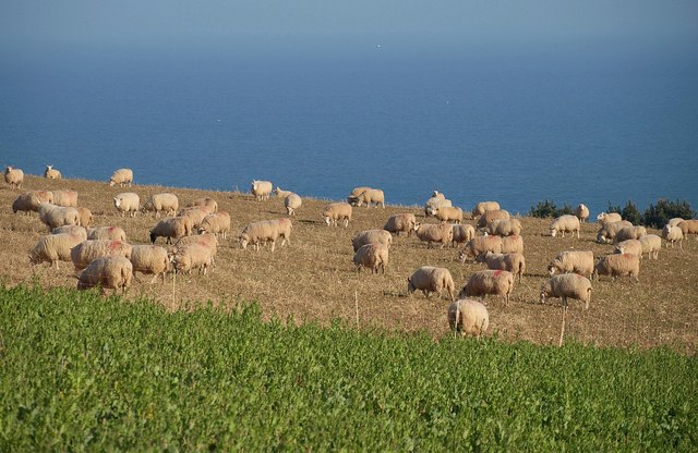
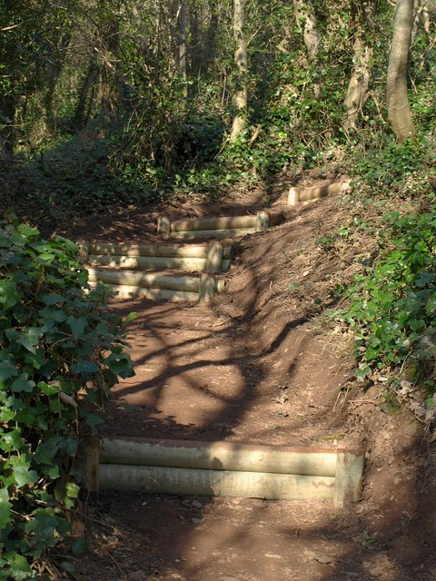
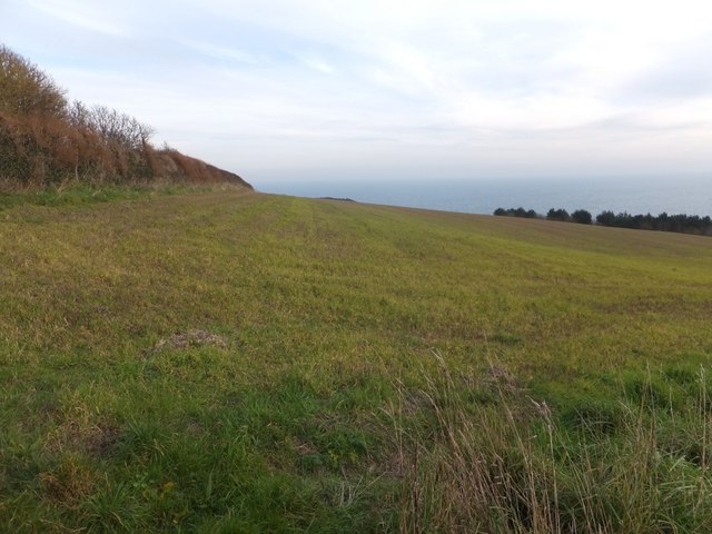
Blackstone Point is a popular destination for outdoor enthusiasts and nature lovers. The coastal path that runs along the edge of the headland provides an excellent opportunity for hiking, allowing visitors to explore the area's natural beauty and wildlife. The headland is home to a diverse range of flora and fauna, including various seabirds that nest along the cliffs.
The point also offers a range of recreational activities, such as fishing, birdwatching, and photography. Many visitors are drawn to the area for its peaceful and tranquil atmosphere, making it an ideal spot for relaxation and contemplation.
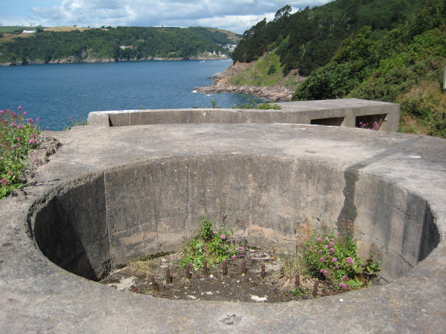
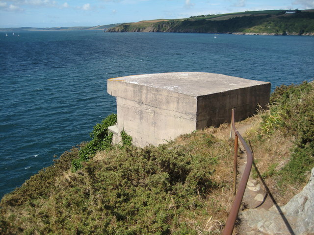
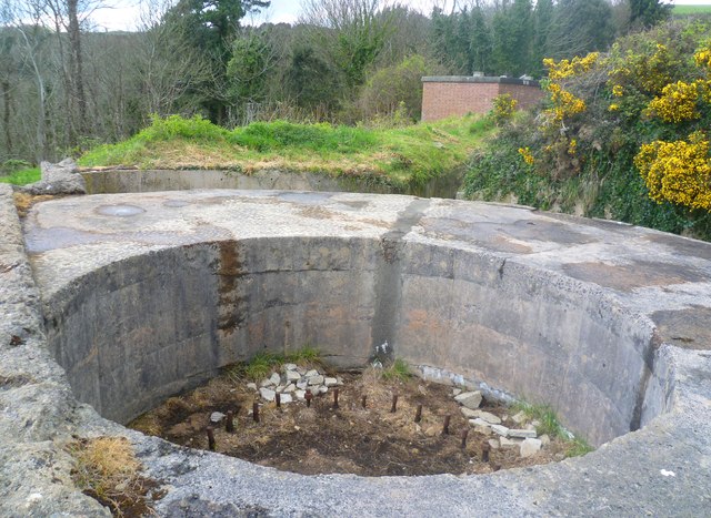
In addition to its natural beauty, Blackstone Point has a rich historical significance. The headland is believed to have been inhabited since prehistoric times, with evidence of ancient settlements and burial sites found in the surrounding area.
Overall, Blackstone Point is a captivating coastal feature that combines breathtaking scenery, abundant wildlife, and a fascinating history, making it a must-visit destination for those exploring the beautiful Devon coastline.
If you have any feedback on the listing, please let us know in the comments section below.
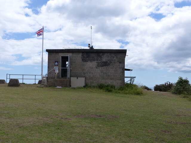
Blackstone Point Images
Images are sourced within 2km of 50.335352/-3.564334 or Grid Reference SX8849. Thanks to Geograph Open Source API. All images are credited.

Blackstone Point is located at Grid Ref: SX8849 (Lat: 50.335352, Lng: -3.564334)
Administrative County: Devon
District: South Hams
Police Authority: Devon and Cornwall
What 3 Words
///ballpoint.expires.sample. Near Dartmouth, Devon
Nearby Locations
Related Wikis
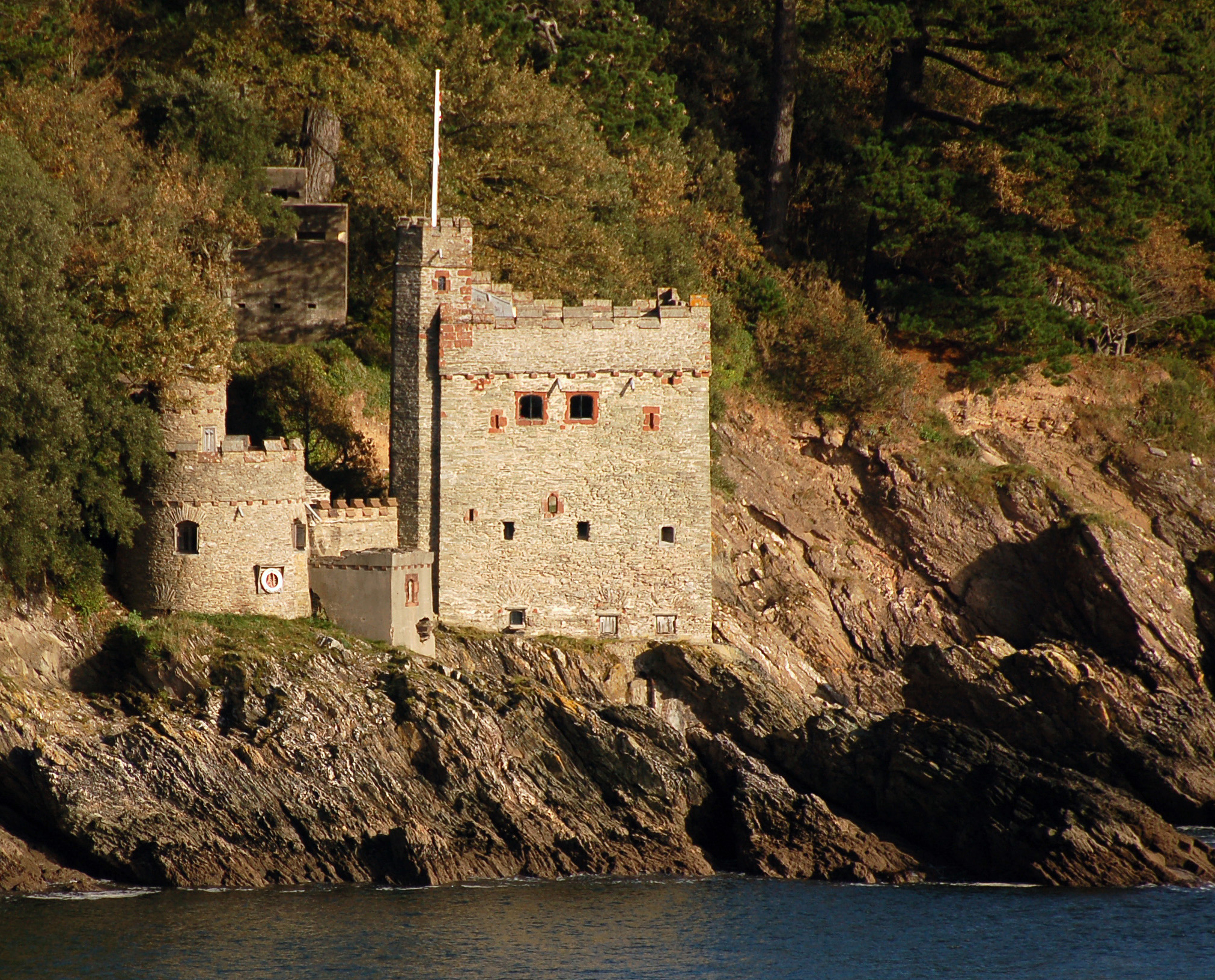
Kingswear Castle
Kingswear Castle is an artillery fort, built to protect Dartmouth harbour in Devon, England. It was constructed between 1491 and 1502 in response to the...

Dartmouth Friary
Dartmouth Friary was an Augustinian friary in Dartmouth, Devon, England. It was founded in 1331 and ceased to function as a friary in 1347. == Background... ==

Dartmouth Castle
Dartmouth Castle is an artillery fort, built to protect Dartmouth harbour in Devon, England. The earliest parts of the castle date from the 1380s, when...

River Dart
The River Dart is a river in Devon, England, that rises high on Dartmoor and flows for 75 kilometres (47 mi) to the sea at Dartmouth. == Name == Most hydronyms...

Warfleet Creek
Warfleet Creek is a small triangular tidal inlet in the west side of the River Dart estuary in England. It is near Dartmouth, Devon. It has steep rocky...

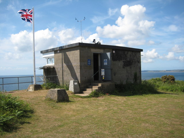
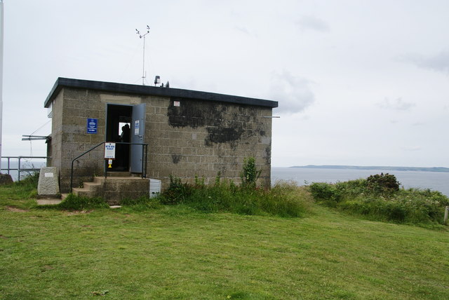
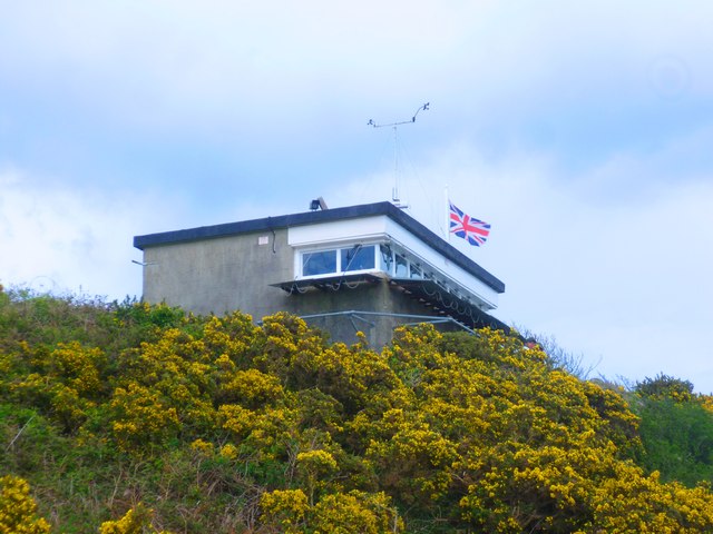
NCI Froward Point
NCI Froward Point is a National Coastwatch Institution (NCI) lookout station at Inner Froward Point, at the easterly side of the mouth of the River Dart...

Kingswear
Kingswear is a village and civil parish in the South Hams area of the English county of Devon. The village is located on the east bank of the tidal River...

Church of St Thomas of Canterbury, Kingswear
The Church of St Thomas of Canterbury is situated in the village of Kingswear in the English county of Devon, it stands in a slightly elevated position...
Nearby Amenities
Located within 500m of 50.335352,-3.564334Have you been to Blackstone Point?
Leave your review of Blackstone Point below (or comments, questions and feedback).