Western Blackstone
Island in Devon
England
Western Blackstone
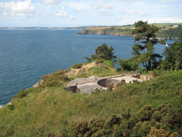
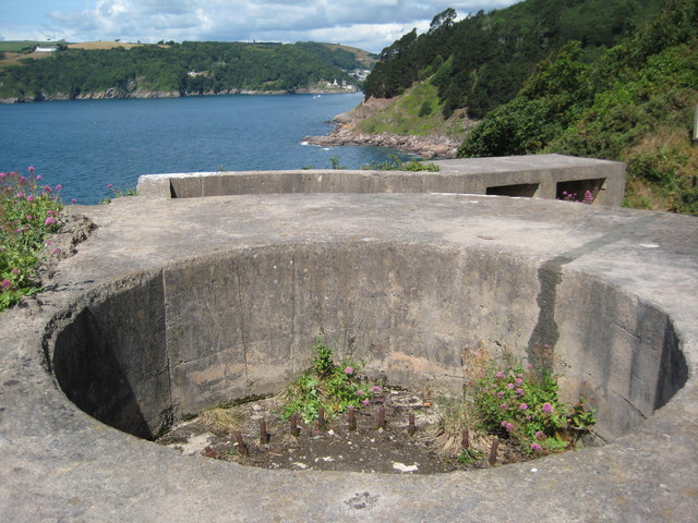
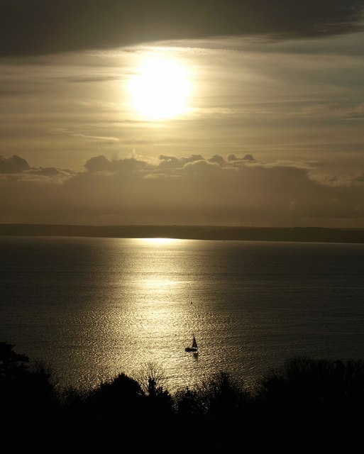
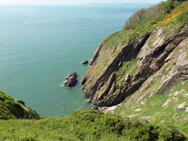
Western Blackstone is a small island located off the coast of Devon, in the southwestern region of England. Positioned in the English Channel, the island covers an area of approximately 2 square kilometers and is part of the larger Blackstone group of islands.
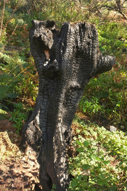
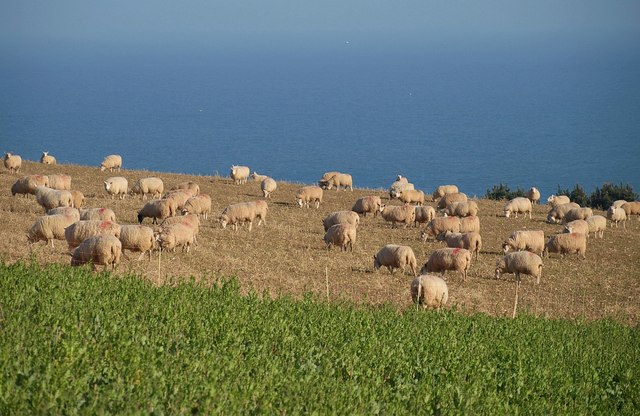
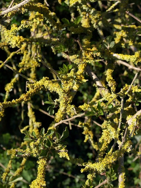
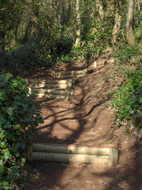
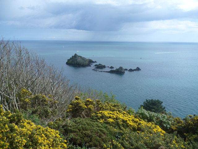
The landscape of Western Blackstone is characterized by rugged cliffs, rocky shores, and a hilly terrain. The island is predominantly covered in grasslands and shrubbery, with scattered patches of woodland. Due to its remote location, Western Blackstone remains largely untouched by human activity, making it a haven for various species of flora and fauna.
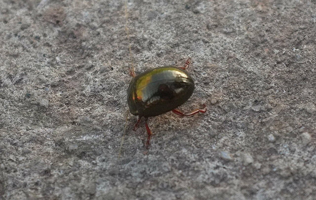
The island is known for its rich biodiversity. It is home to a diverse range of bird species, including gulls, cormorants, and puffins, which inhabit the cliffs and nest on the rocky ledges. The surrounding waters are abundant with marine life, attracting seals, dolphins, and occasional sightings of whales.
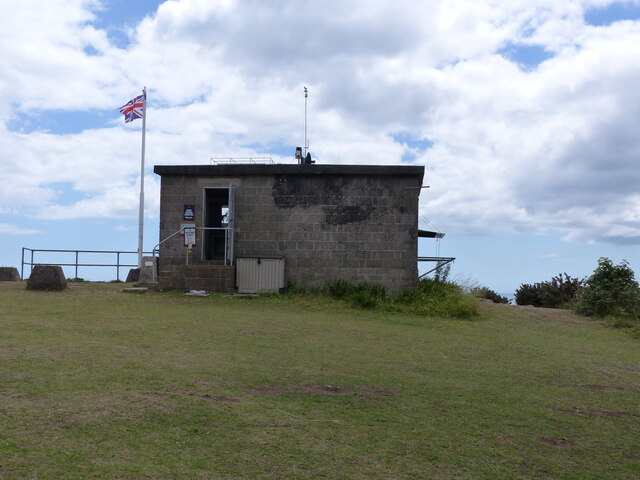
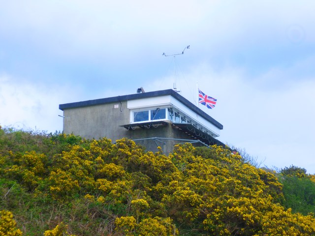
Access to Western Blackstone is limited, with no permanent residents or infrastructure on the island. Visitors can only reach the island by boat, and camping is the primary accommodation option available. The lack of facilities and services ensures that the island maintains its pristine natural beauty, offering visitors a unique opportunity to immerse themselves in the rugged and untouched wilderness.
Western Blackstone, Devon, is a hidden gem for nature lovers and adventurers seeking solitude and a glimpse of the untamed beauty of the English coastline.
If you have any feedback on the listing, please let us know in the comments section below.
Western Blackstone Images
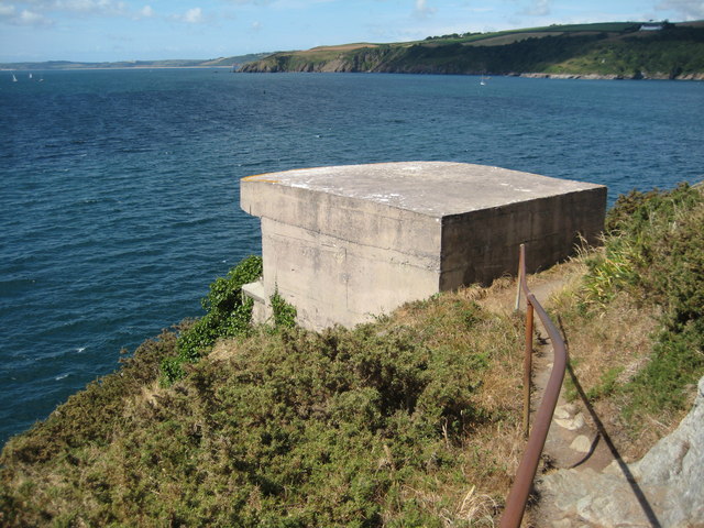
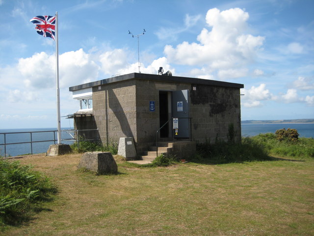
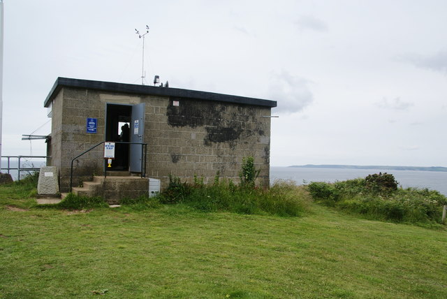
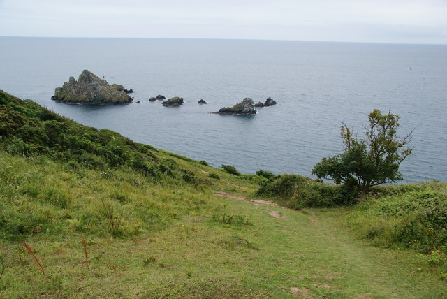
Images are sourced within 2km of 50.333955/-3.5618431 or Grid Reference SX8849. Thanks to Geograph Open Source API. All images are credited.

Western Blackstone is located at Grid Ref: SX8849 (Lat: 50.333955, Lng: -3.5618431)
Administrative County: Devon
Police Authority: Devon and Cornwall
What 3 Words
///president.lobby.gambles. Near Dartmouth, Devon
Nearby Locations
Related Wikis
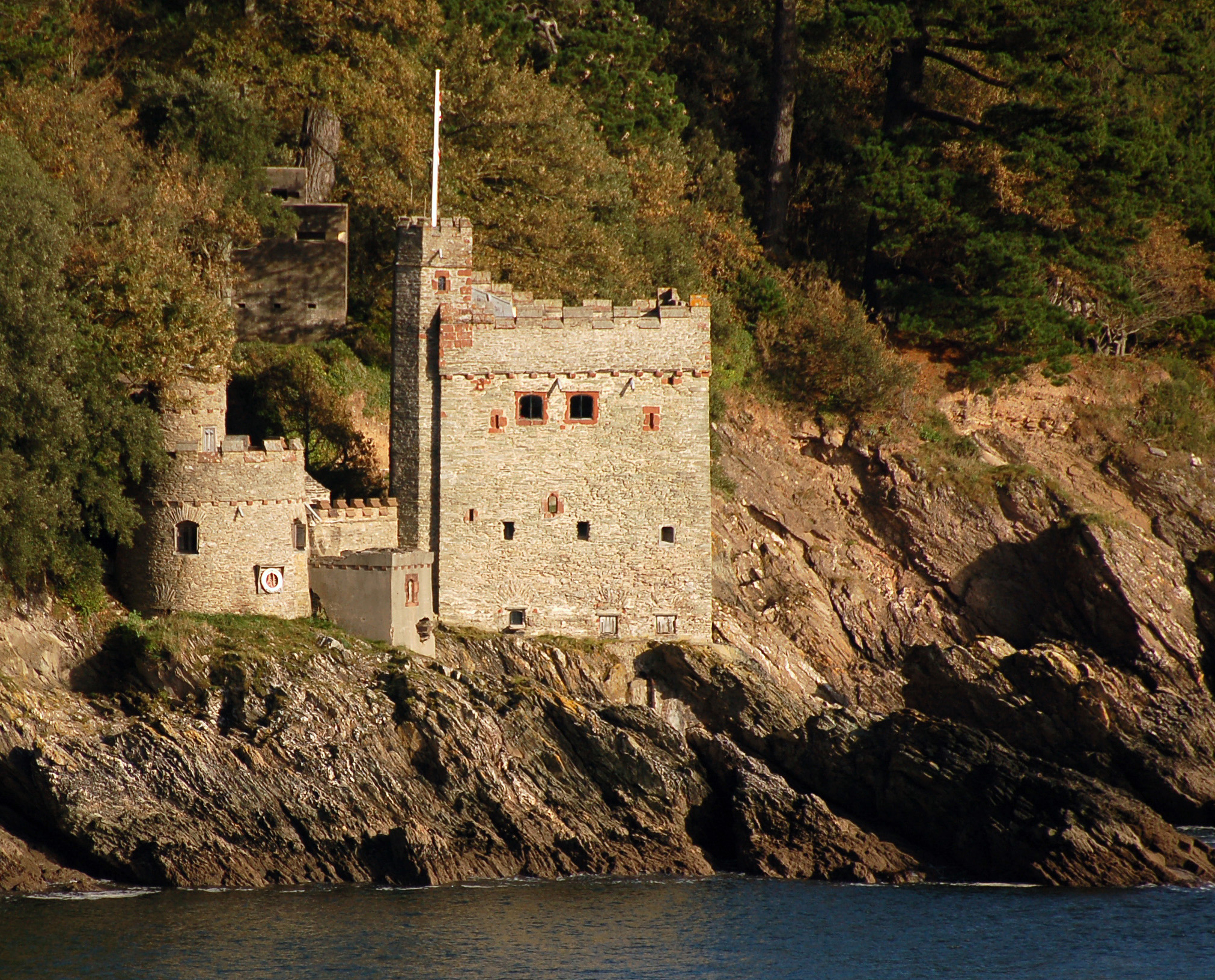
Kingswear Castle
Kingswear Castle is an artillery fort, built to protect Dartmouth harbour in Devon, England. It was constructed between 1491 and 1502 in response to the...

River Dart
The River Dart is a river in Devon, England, that rises high on Dartmoor and flows for 75 kilometres (47 mi) to the sea at Dartmouth. == Name == Most hydronyms...

Dartmouth Friary
Dartmouth Friary was an Augustinian friary in Dartmouth, Devon, England. It was founded in 1331 and ceased to function as a friary in 1347. == Background... ==

Dartmouth Castle
Dartmouth Castle is an artillery fort, built to protect Dartmouth harbour in Devon, England. The earliest parts of the castle date from the 1380s, when...
Nearby Amenities
Located within 500m of 50.333955,-3.5618431Have you been to Western Blackstone?
Leave your review of Western Blackstone below (or comments, questions and feedback).