West Exmoor Coast
Heritage Site in Devon North Devon
England
West Exmoor Coast

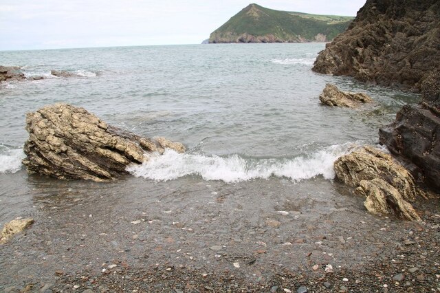
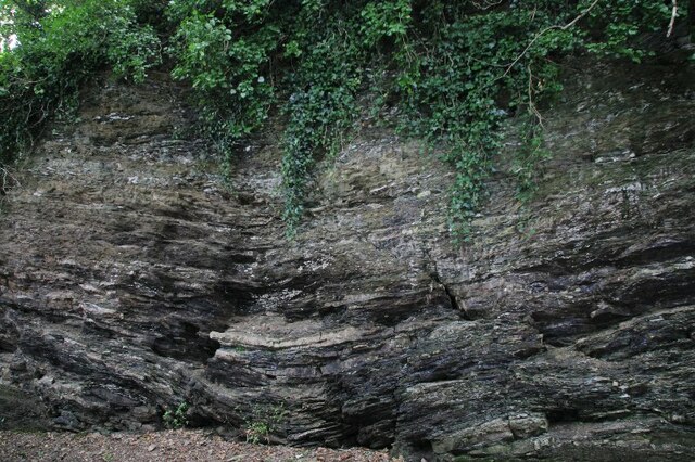
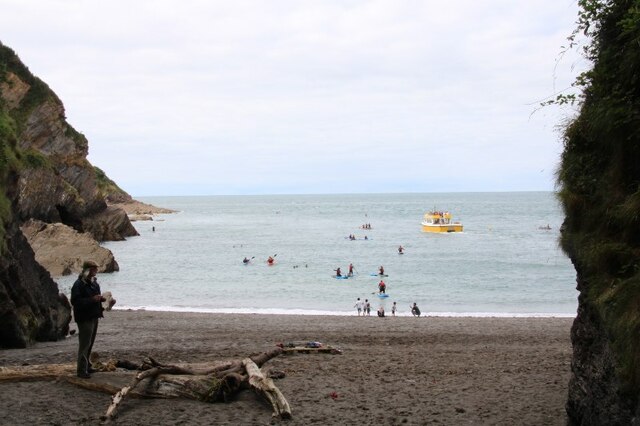
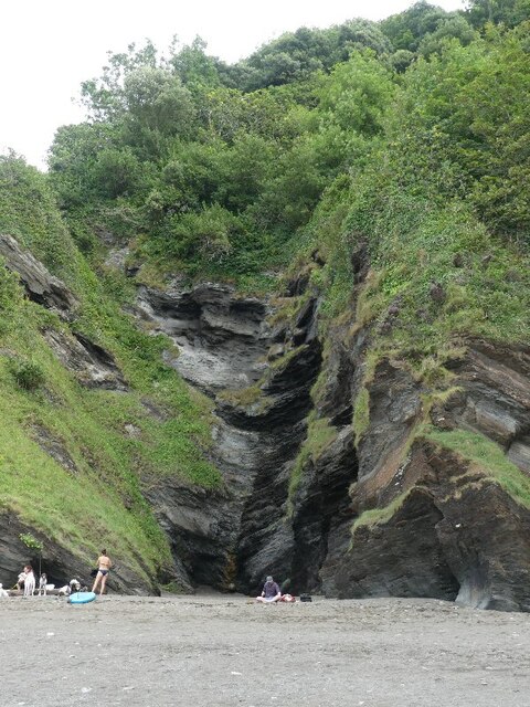
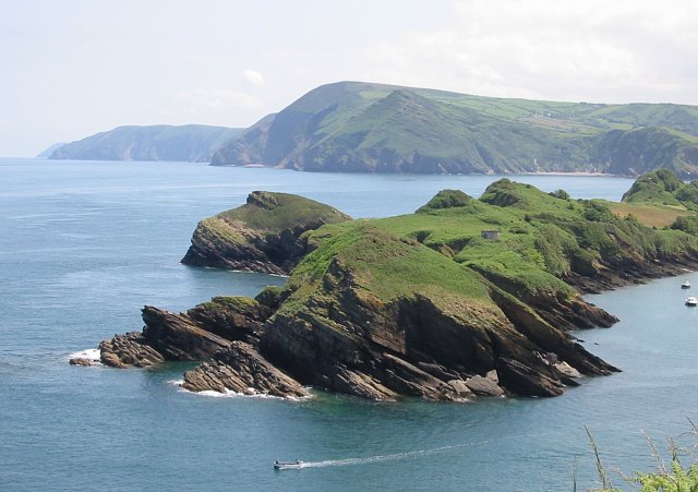
The West Exmoor Coast, located in Devon, England, is a designated Heritage Site renowned for its outstanding natural beauty and rich cultural heritage. Stretching along the rugged coastline of the Bristol Channel, this area encompasses approximately 60 kilometers of diverse landscapes, including cliffs, sandy beaches, rocky shores, and lush greenery.
The West Exmoor Coast is home to a wide variety of flora and fauna, making it a haven for nature enthusiasts. The towering cliffs provide nesting sites for seabirds such as fulmars, razorbills, and kittiwakes, while the surrounding waters are frequented by seals and dolphins. The coastal heathland and woodlands are scattered with wildflowers, including rare orchids and bluebells, creating a vibrant display of colors during spring and summer.
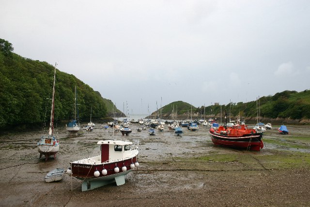
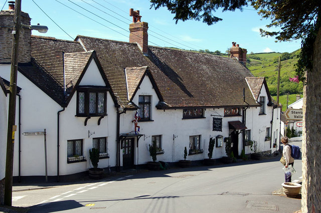
Beyond its natural beauty, the West Exmoor Coast also boasts a rich cultural heritage. The area is dotted with historic landmarks, including medieval castles, ancient forts, and traditional fishing villages, each telling a story of the region's past. Visitors can explore the remnants of Lynton and Lynmouth's Victorian charm, or delve into the maritime heritage of the nearby towns of Minehead and Ilfracombe.
For outdoor enthusiasts, the West Exmoor Coast offers an array of activities such as hiking, horse riding, and water sports. The South West Coast Path, Britain's longest National Trail, winds its way through the area, providing breathtaking views at every turn. There are also opportunities for fishing, birdwatching, and exploring the numerous rock pools that teem with marine life.
Overall, the West Exmoor Coast is a captivating destination that seamlessly blends natural beauty with cultural heritage, offering a truly memorable experience for all who visit.
If you have any feedback on the listing, please let us know in the comments section below.
West Exmoor Coast Images
Images are sourced within 2km of 51.21/-4.056 or Grid Reference SS5647. Thanks to Geograph Open Source API. All images are credited.


West Exmoor Coast is located at Grid Ref: SS5647 (Lat: 51.21, Lng: -4.056)
Administrative County: Devon
District: North Devon
Police Authority: Devon and Cornwall
What 3 Words
///clogging.butchers.corn. Near Combe Martin, Devon
Nearby Locations
Related Wikis

Broadsands Beach
Broadsands Beach is the marketing name given to a small cove located in Watermouth, originally known as Broadstrands Beach, North Devon. It is owned by...
Watermouth
Watermouth is a sheltered bay and hamlet between Hele Bay and Combe Martin on the North Devon coast of England. The settlement's castle, named as Watermouth...
Berrynarbor
Berrynarbor (historically Berry Narbor, Berrie Nerbert, etc) is a village, civil parish and former manor in the North Devon district of Devon, England...
Sexton's Burrows
Sexton's Burrows is a narrow rocky peninsula which forms a natural breakwater to the Harbour of Watermouth Bay on the North Devon coast.
Nearby Amenities
Located within 500m of 51.21,-4.056Have you been to West Exmoor Coast?
Leave your review of West Exmoor Coast below (or comments, questions and feedback).