Ship Burial
Heritage Site in Suffolk East Suffolk
England
Ship Burial

Ship Burial, located in Suffolk, England, is a renowned heritage site that holds historical and archaeological significance. This site is known for its association with the famous Anglo-Saxon burial mound, which dates back to the early 7th century. The site was discovered in 1939 by Basil Brown, an amateur archaeologist, during an excavation in the sandy soil of Sutton Hoo.
The Ship Burial, also known as Mound 1, is an impressive burial mound that measures approximately 27 meters in diameter and 2.5 meters in height. It is believed to have been the final resting place of an important Anglo-Saxon king or noble. The burial mound was constructed by digging a large trench and placing a 27-meter-long ship within it. The ship was then filled with various valuable treasures, including weapons, armor, jewelry, and even a full-size ceremonial helmet.
The ship itself has long since decayed, but the outline of the vessel is still visible in the sandy soil. The burial mound is surrounded by additional mounds, believed to contain the remains of other individuals or animals associated with the burial ceremony. The site also features a visitor center, where artifacts from the excavation are on display, providing visitors with a glimpse into the rich Anglo-Saxon history.
Ship Burial is not only significant due to its archaeological value but also because it has provided valuable insight into the Anglo-Saxon culture and their funerary practices. The discovery of this burial site has greatly contributed to our understanding of this early medieval period in English history.
If you have any feedback on the listing, please let us know in the comments section below.
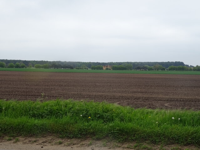
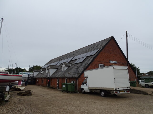
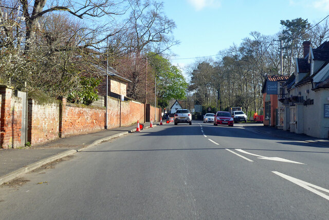
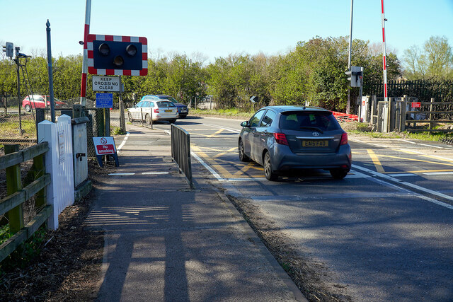
Ship Burial Images
Images are sourced within 2km of 52.087/1.335 or Grid Reference TM2848. Thanks to Geograph Open Source API. All images are credited.


Ship Burial is located at Grid Ref: TM2848 (Lat: 52.087, Lng: 1.335)
Administrative County: Suffolk
District: East Suffolk
Police Authority: Suffolk
What 3 Words
///honeybees.greet.paddlers. Near Woodbridge, Suffolk
Nearby Locations
Related Wikis

Sutton Hoo
Sutton Hoo is the site of two Anglo-Saxon cemeteries dating from the 6th to 7th centuries near Woodbridge, Suffolk, England. Archaeologists have been excavating...
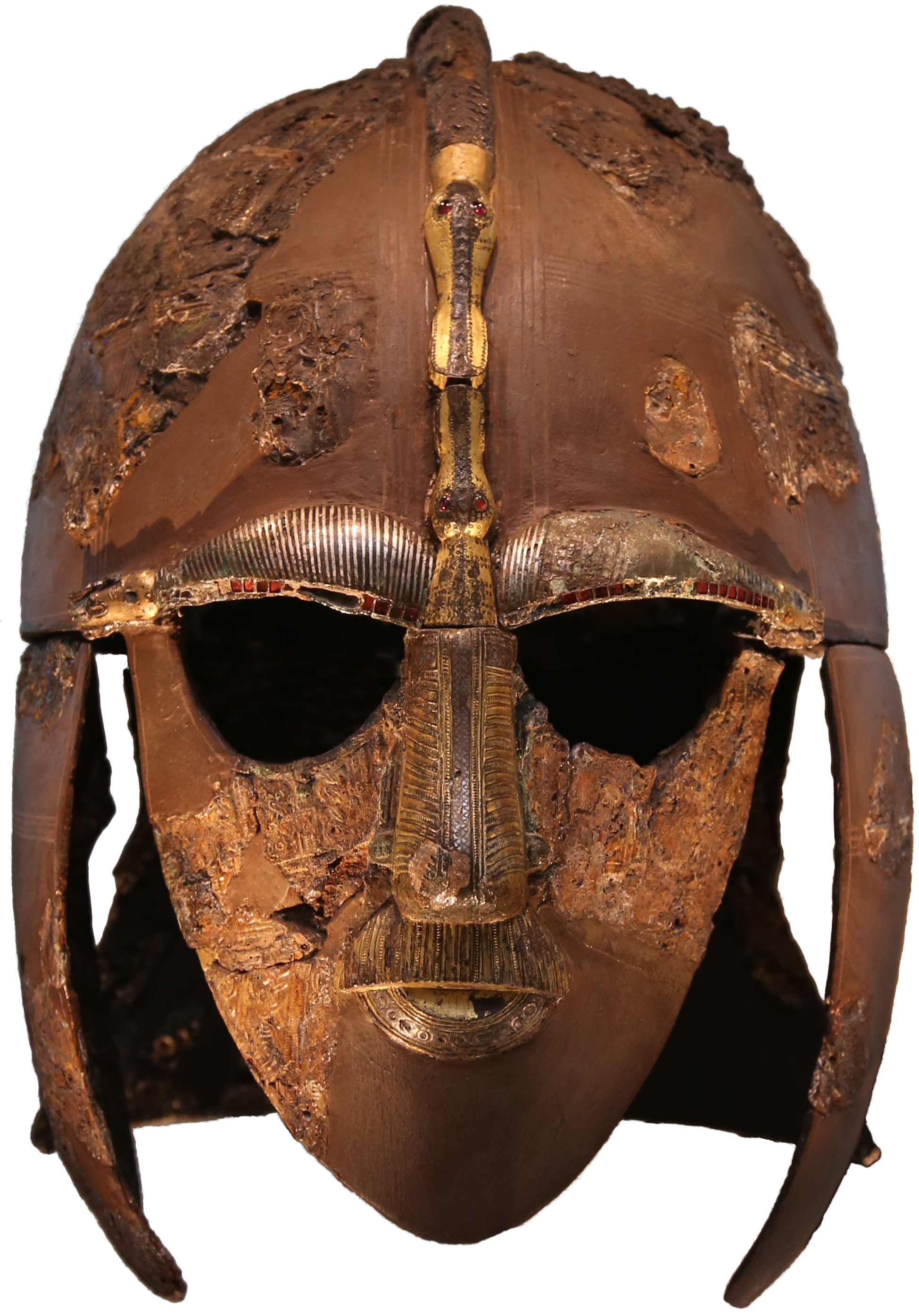
Sutton Hoo helmet
The Sutton Hoo helmet is a decorated Anglo-Saxon helmet found during a 1939 excavation of the Sutton Hoo ship-burial. It was buried around the years c...
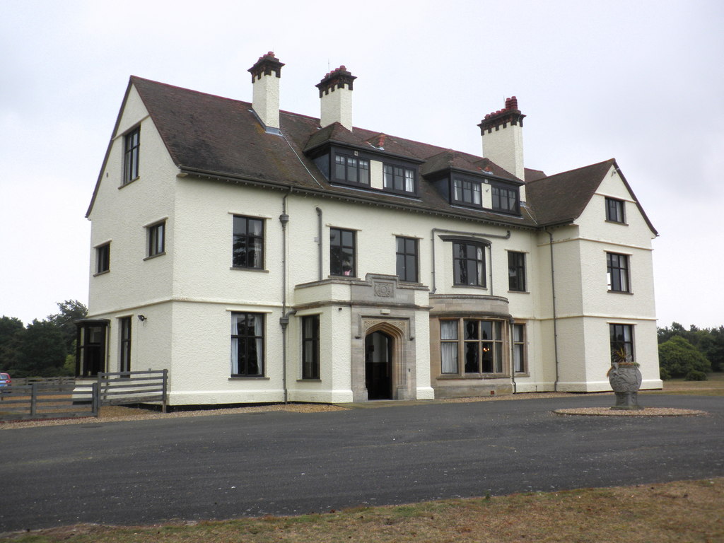
Tranmer House
Tranmer House is a country house in Sutton Hoo, Woodbridge, Suffolk, England, dating from 1910. The house is located on the Sutton Hoo Anglo-Saxon burial...

Ferry Cliff, Sutton
Ferry Cliff, Sutton is a 2.8-hectare (6.9-acre) geological Site of Special Scientific Interest Suffolk. It is a Geological Conservation Review site, and...

Sutton Hoo Helmet (sculpture)
Sutton Hoo Helmet is a 2002 sculpture by the English artist Rick Kirby. A representation of the Anglo-Saxon helmet by the same name found in the Sutton...
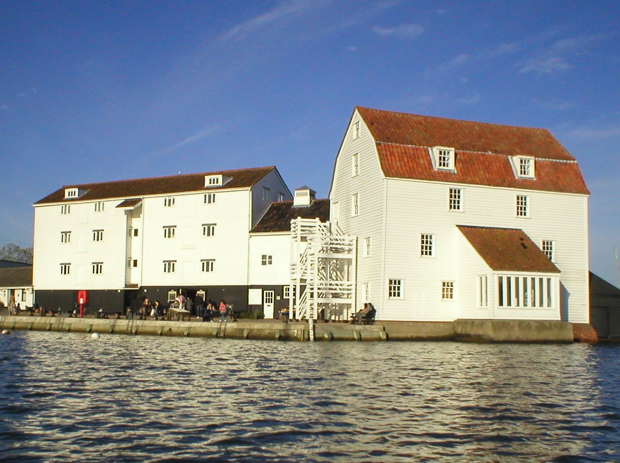
Woodbridge Tide Mill
Woodbridge Tide Mill in Woodbridge, Suffolk, England is a rare example of a tide mill whose water wheel still turns and is capable of grinding a wholemeal...
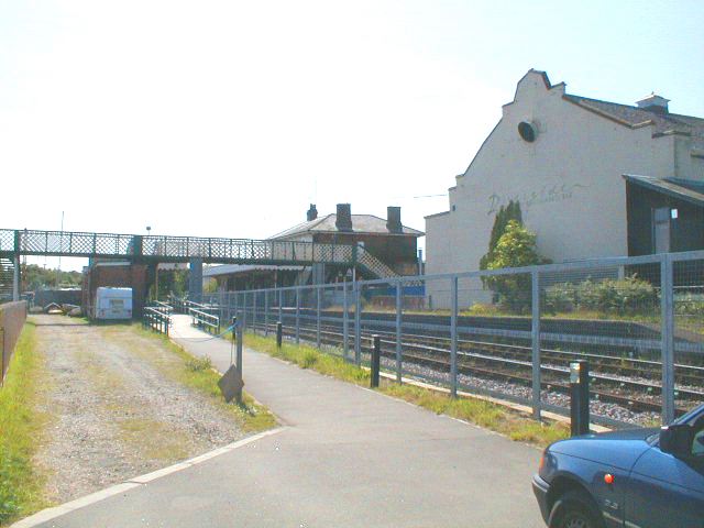
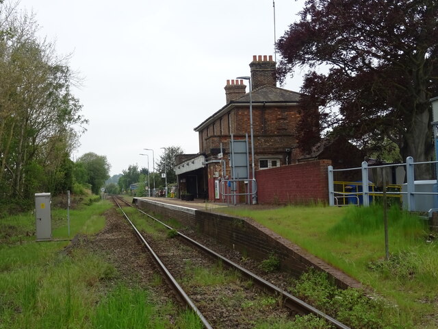
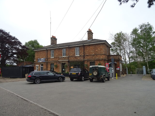
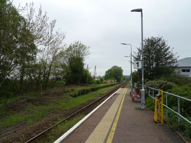
Woodbridge railway station
Woodbridge railway station is on the East Suffolk Line in the east of England, serving the town of Woodbridge, Suffolk. It is 10 miles 19 chains (16.5...
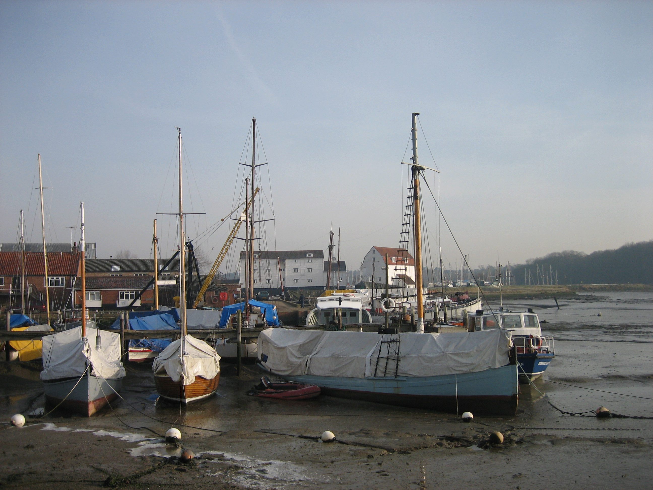
Woodbridge, Suffolk
Woodbridge is a port town and civil parish in the East Suffolk district of Suffolk, England. It is 8 miles (13 km) up the River Deben from the sea. It...
Nearby Amenities
Located within 500m of 52.087,1.335Have you been to Ship Burial?
Leave your review of Ship Burial below (or comments, questions and feedback).