Top Hat Wood
Wood, Forest in Suffolk East Suffolk
England
Top Hat Wood
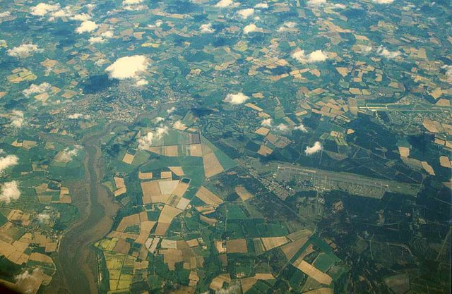
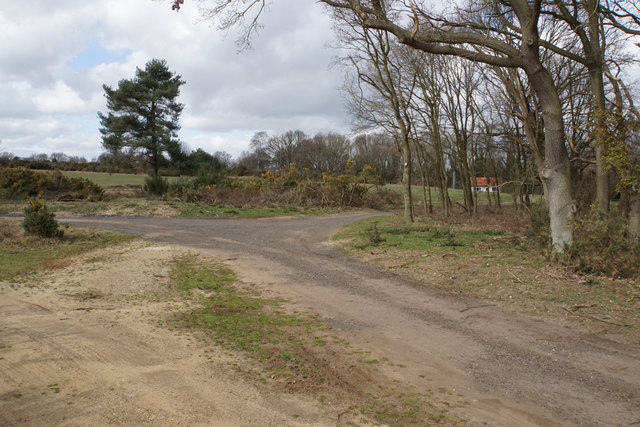
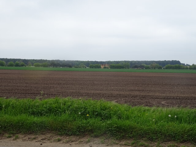
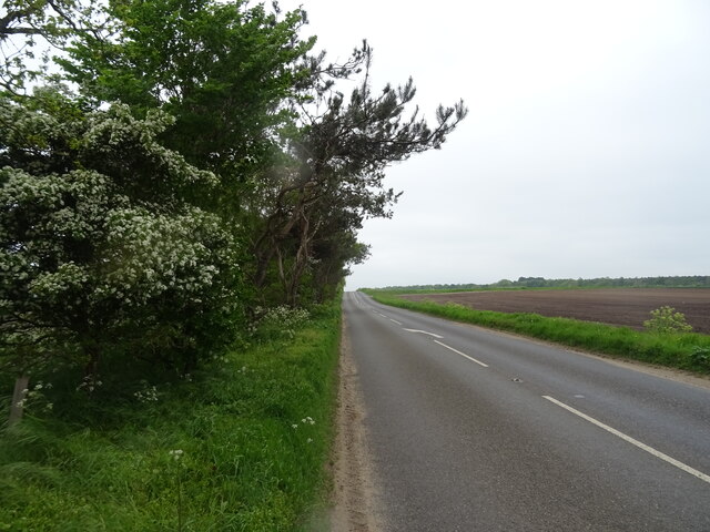
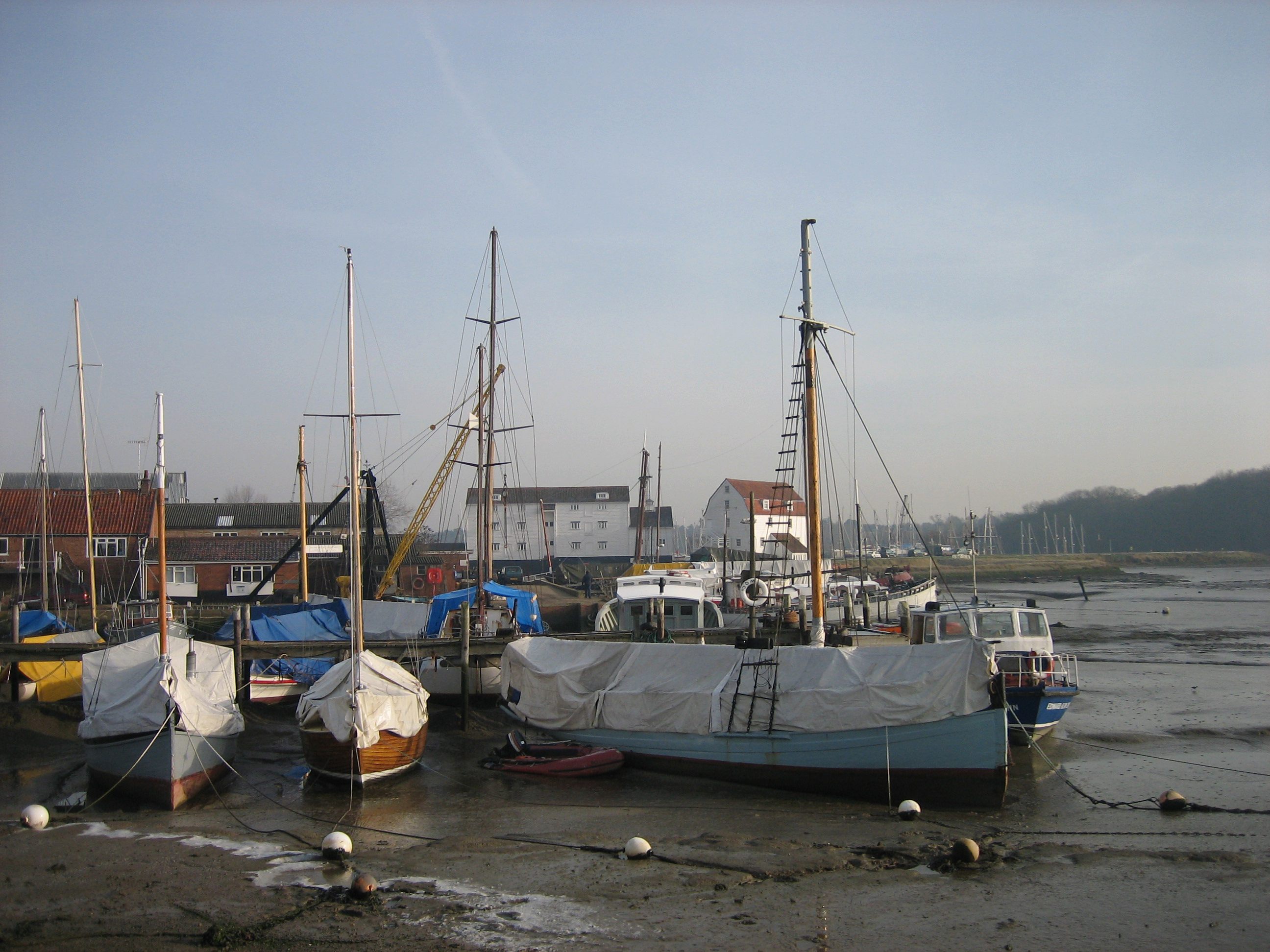
Top Hat Wood is a picturesque forest located in Suffolk, England. Covering an area of approximately 100 acres, it is known for its tranquil atmosphere and diverse wildlife. The wood is situated in a rural area, surrounded by rolling hills and fields, creating a serene and natural environment.
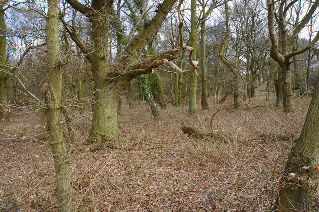
The forest is predominantly made up of deciduous trees, such as oak, beech, and birch, which provide a stunning display of colors during the autumn season. The canopy of the trees creates a shaded and cool atmosphere, perfect for leisurely walks, picnics, and family outings.
Top Hat Wood is a haven for wildlife enthusiasts, as it is home to a wide variety of animal and bird species. Visitors may spot deer, foxes, squirrels, and rabbits, as well as a plethora of bird species, including woodpeckers, owls, and songbirds. The forest's diverse ecosystem also supports a range of insects, butterflies, and wildflowers, adding to its natural beauty.
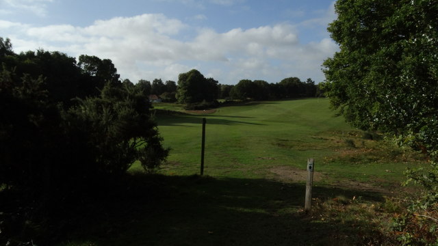
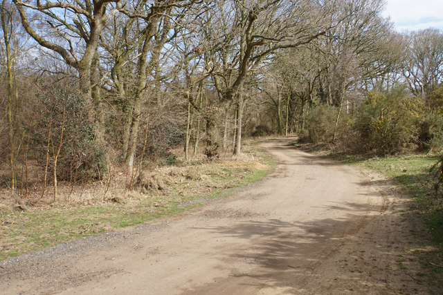
The woodland offers several well-maintained footpaths and trails, allowing visitors to explore the forest at their own pace. There are also designated picnic areas and benches strategically placed throughout the wood, providing opportunities for relaxation and enjoying the peaceful surroundings.
Top Hat Wood is a popular destination for nature lovers, photographers, and those seeking a peaceful retreat. Its idyllic setting, rich biodiversity, and well-maintained facilities make it an ideal location to connect with nature and escape the hustle and bustle of everyday life.
If you have any feedback on the listing, please let us know in the comments section below.
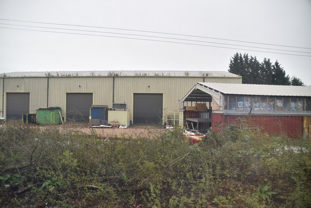
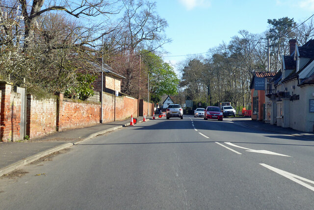
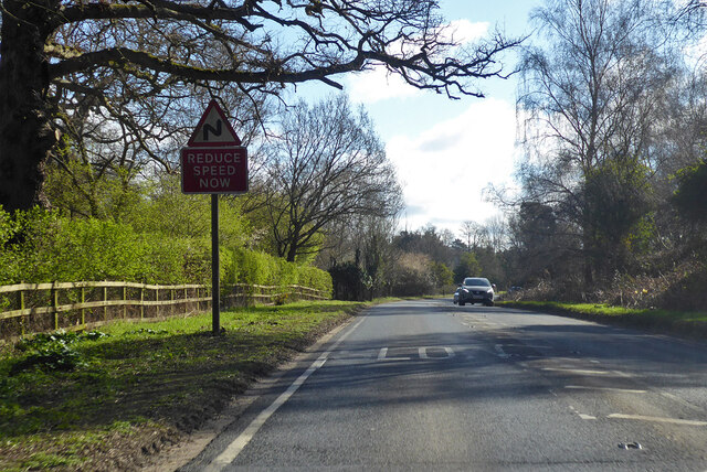
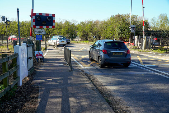
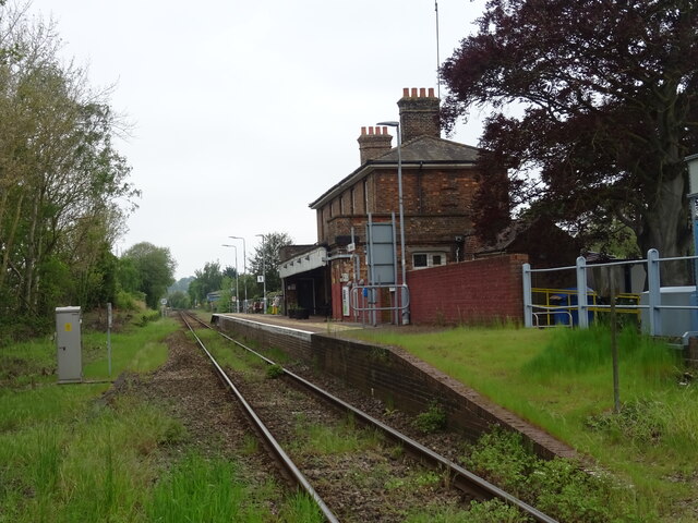
Top Hat Wood Images
Images are sourced within 2km of 52.089677/1.3363746 or Grid Reference TM2848. Thanks to Geograph Open Source API. All images are credited.

Top Hat Wood is located at Grid Ref: TM2848 (Lat: 52.089677, Lng: 1.3363746)
Administrative County: Suffolk
District: East Suffolk
Police Authority: Suffolk
What 3 Words
///motoring.froth.equivocal. Near Woodbridge, Suffolk
Nearby Locations
Related Wikis
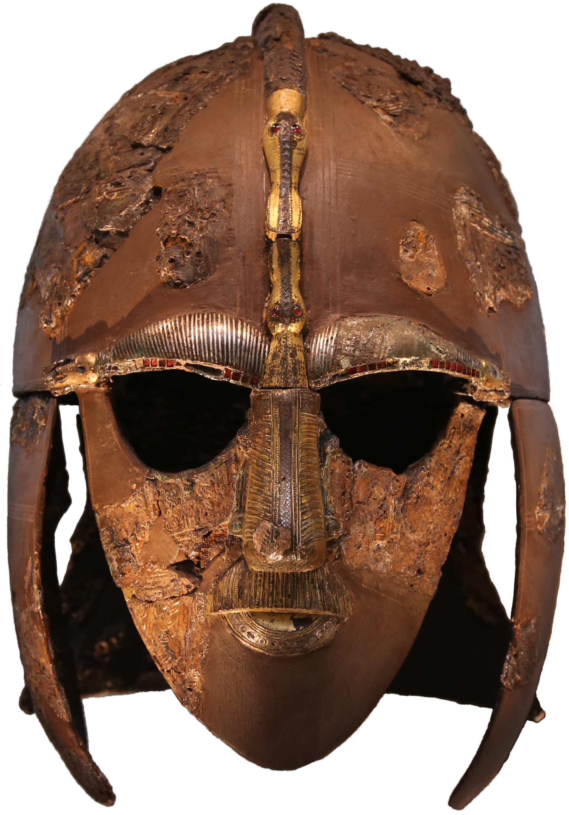
Sutton Hoo helmet
The Sutton Hoo helmet is a decorated Anglo-Saxon helmet found during a 1939 excavation of the Sutton Hoo ship-burial. It was buried around the years c...

Sutton Hoo
Sutton Hoo is the site of two Anglo-Saxon cemeteries dating from the 6th to 7th centuries near Woodbridge, Suffolk, England. Archaeologists have been excavating...
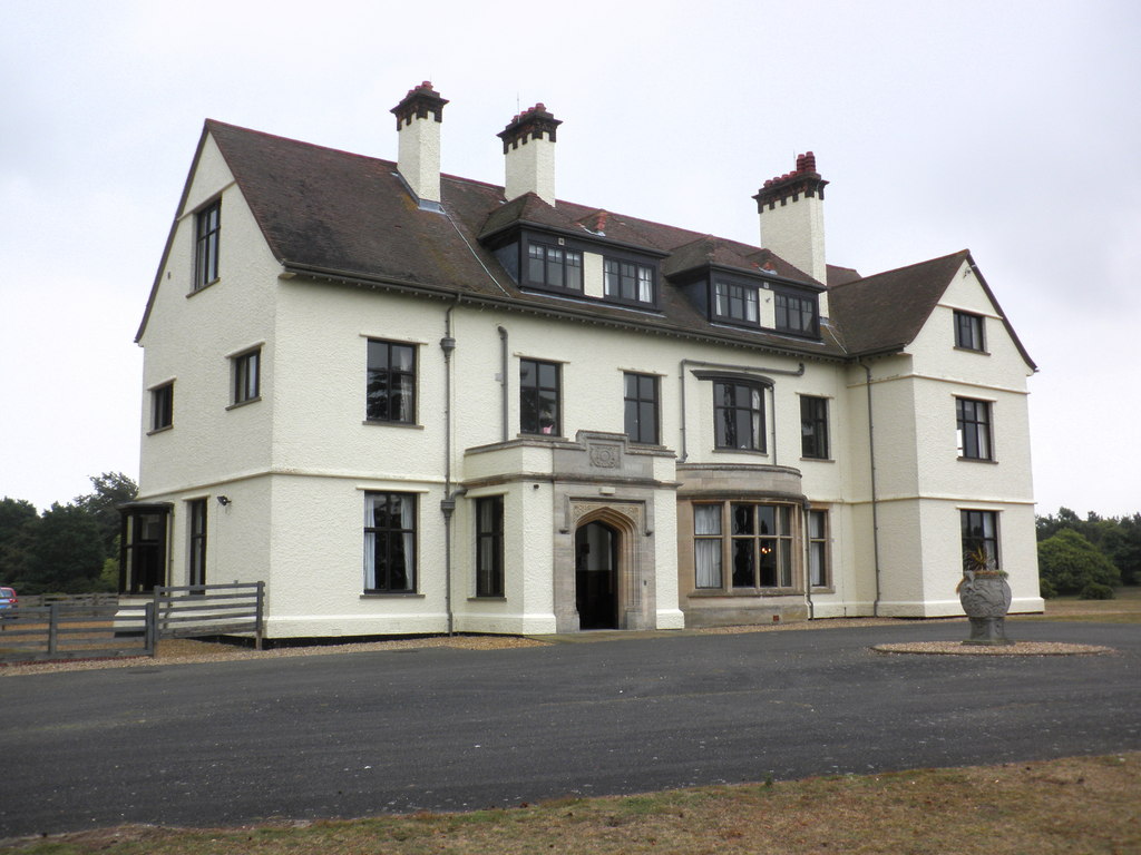
Tranmer House
Tranmer House is a country house in Sutton Hoo, Woodbridge, Suffolk, England, dating from 1910. The house is located on the Sutton Hoo Anglo-Saxon burial...

Sutton Hoo Helmet (sculpture)
Sutton Hoo Helmet is a 2002 sculpture by the English artist Rick Kirby. A representation of the Anglo-Saxon helmet by the same name found in the Sutton...

Ferry Cliff, Sutton
Ferry Cliff, Sutton is a 2.8-hectare (6.9-acre) geological Site of Special Scientific Interest Suffolk. It is a Geological Conservation Review site, and...
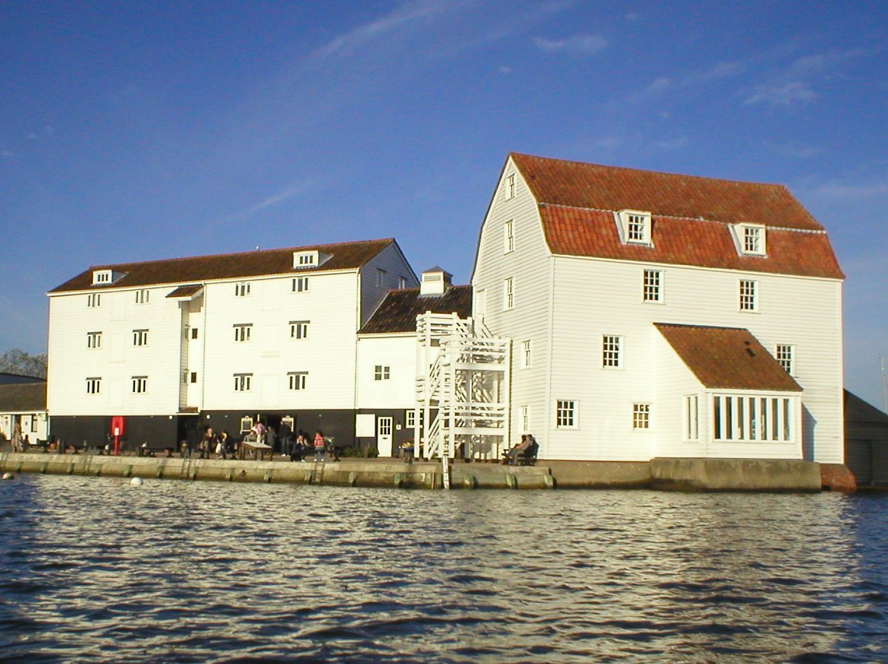
Woodbridge Tide Mill
Woodbridge Tide Mill in Woodbridge, Suffolk, England is a rare example of a tide mill whose water wheel still turns and is capable of grinding a wholemeal...

Suffolk Coastal
Suffolk Coastal was a local government district in Suffolk, England. Its council was based in Melton, having moved from neighbouring Woodbridge in 2017...
Woodbridge, Suffolk
Woodbridge is a port town and civil parish in the East Suffolk district of Suffolk, England. It is 8 miles (13 km) up the River Deben from the sea. It...
Nearby Amenities
Located within 500m of 52.089677,1.3363746Have you been to Top Hat Wood?
Leave your review of Top Hat Wood below (or comments, questions and feedback).