Deben Wood
Wood, Forest in Suffolk East Suffolk
England
Deben Wood
Deben Wood is a beautiful forest located in Suffolk, England. Covering an area of approximately 750 hectares, it is a haven for nature lovers and outdoor enthusiasts alike. The forest is part of the larger Deben Valley, which encompasses the River Deben and its surrounding landscape.
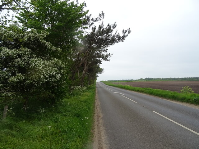
The woodland consists mainly of broad-leaved trees such as oak, beech, and birch, creating a diverse and rich ecosystem. In addition to the towering trees, there are also areas of heathland and wetland, providing a variety of habitats for a wide range of flora and fauna.
Deben Wood offers a network of well-maintained walking trails, allowing visitors to explore the forest at their own pace. The paths wind through the trees, offering glimpses of wildlife and stunning views of the surrounding countryside. The forest is home to numerous bird species, including woodpeckers, owls, and warblers, making it a popular spot for birdwatching.
For those interested in history, Deben Wood has a fascinating past. It was once part of the ancient Woodbridge Priory estate and has seen human activity dating back to the Stone Age. Today, remnants of old buildings and structures can still be found scattered throughout the forest, providing glimpses into its historical significance.
Deben Wood is not only a place of natural beauty but also a valuable resource for the local community. It serves as a recreational area for walkers, runners, and cyclists, offering a peaceful escape from the hustle and bustle of daily life. The forest also plays a vital role in carbon sequestration and helps to maintain the ecological balance of the area.
Overall, Deben Wood is a stunning and diverse forest, offering a range of activities and experiences for nature enthusiasts and history buffs alike.
If you have any feedback on the listing, please let us know in the comments section below.
Deben Wood Images
Images are sourced within 2km of 52.085187/1.3300826 or Grid Reference TM2848. Thanks to Geograph Open Source API. All images are credited.


Deben Wood is located at Grid Ref: TM2848 (Lat: 52.085187, Lng: 1.3300826)
Administrative County: Suffolk
District: East Suffolk
Police Authority: Suffolk
What 3 Words
///daffodils.things.hears. Near Woodbridge, Suffolk
Nearby Locations
Related Wikis

Ferry Cliff, Sutton
Ferry Cliff, Sutton is a 2.8-hectare (6.9-acre) geological Site of Special Scientific Interest Suffolk. It is a Geological Conservation Review site, and...

Sutton Hoo
Sutton Hoo is the site of two Anglo-Saxon cemeteries dating from the 6th to 7th centuries near Woodbridge, Suffolk, England. Archaeologists have been excavating...

Sutton Hoo helmet
The Sutton Hoo helmet is a decorated Anglo-Saxon helmet found during a 1939 excavation of the Sutton Hoo ship-burial. It was buried around the years c...
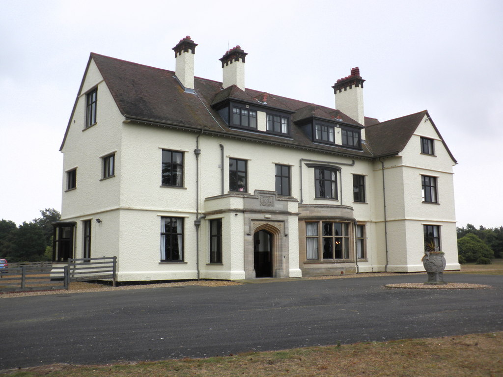
Tranmer House
Tranmer House is a country house in Sutton Hoo, Woodbridge, Suffolk, England, dating from 1910. The house is located on the Sutton Hoo Anglo-Saxon burial...
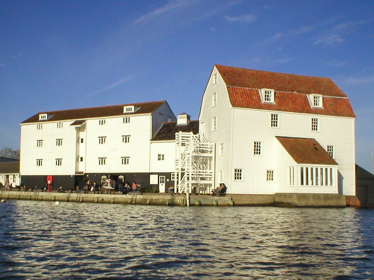
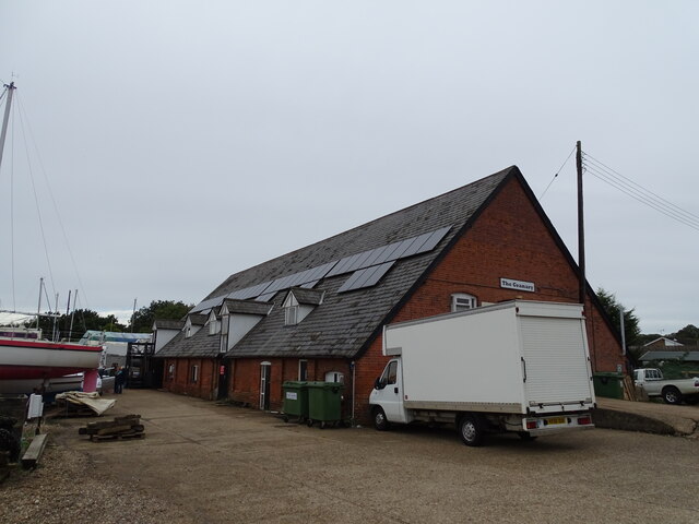
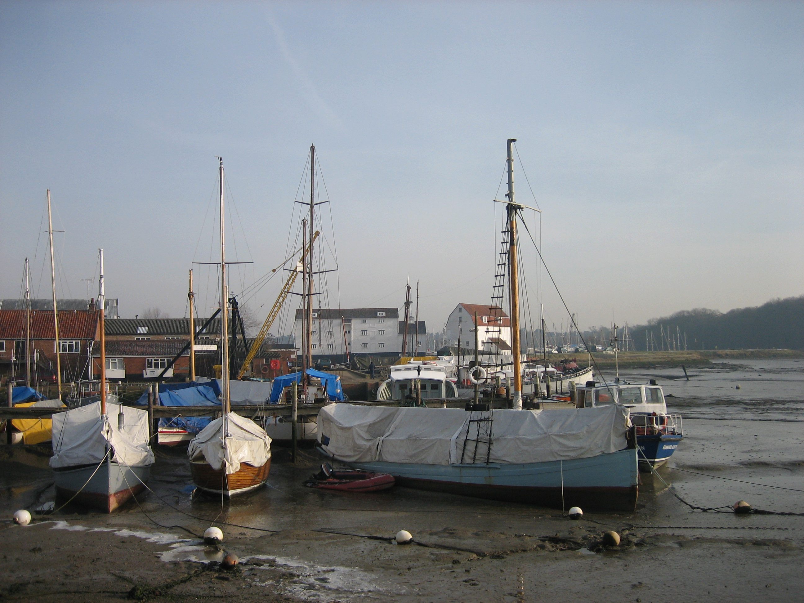
Woodbridge Tide Mill
Woodbridge Tide Mill in Woodbridge, Suffolk, England is a rare example of a tide mill whose water wheel still turns and is capable of grinding a wholemeal...
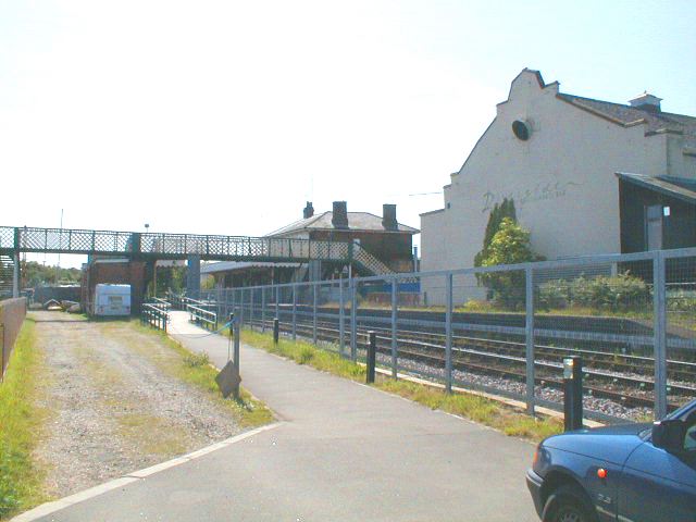
Woodbridge railway station
Woodbridge railway station is on the East Suffolk Line in the east of England, serving the town of Woodbridge, Suffolk. It is 10 miles 19 chains (16.5...
Woodbridge, Suffolk
Woodbridge is a port town and civil parish in the East Suffolk district of Suffolk, England. It is 8 miles (13 km) up the River Deben from the sea. It...
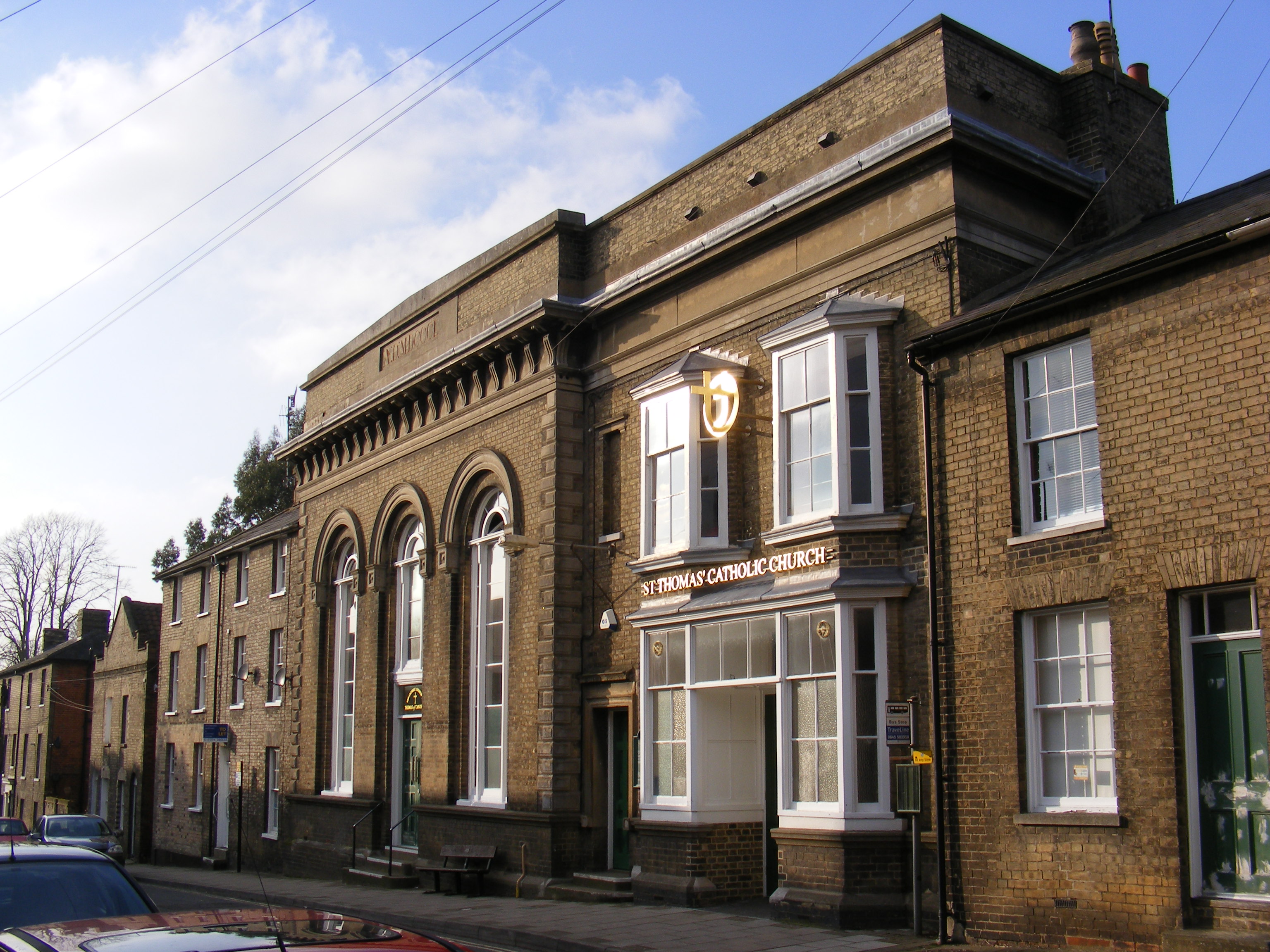
Church of St Thomas of Canterbury, Woodbridge
The Church of St Thomas of Canterbury is a Roman Catholic church in St John's Street in Woodbridge, Suffolk. It has been part of the Catholic Diocese...
Nearby Amenities
Located within 500m of 52.085187,1.3300826Have you been to Deben Wood?
Leave your review of Deben Wood below (or comments, questions and feedback).