Sutton Hoo
Heritage Site in Suffolk East Suffolk
England
Sutton Hoo

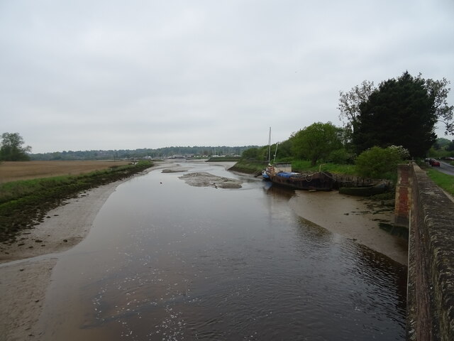
Sutton Hoo, located in Suffolk, England, is an ancient burial site and a significant archaeological discovery. This historical site is situated on a 255-acre estate overlooking the River Deben, near the village of Woodbridge. Dating back to the 6th and 7th centuries, Sutton Hoo is renowned for its Anglo-Saxon burial mounds, which offer valuable insights into the early English culture.
The site gained international fame in 1939 when an excavation led by archaeologist Basil Brown unearthed a ship burial. This burial mound, known as Mound 1, contained an intact ship measuring about 90 feet in length. The burial chamber within the ship contained a wealth of treasures, including a magnificent ceremonial helmet, a sword, jewelry, silverware, and other artifacts. These findings provided evidence of the wealth and sophistication of the Anglo-Saxon elites.
Today, Sutton Hoo is managed by the National Trust and has become a popular heritage site and tourist attraction. Visitors can explore the site's various burial mounds, which have been reconstructed to resemble their original forms. The exhibition hall houses the famous artifacts discovered in Mound 1, allowing visitors to marvel at the intricate craftsmanship of the early Anglo-Saxon civilization.
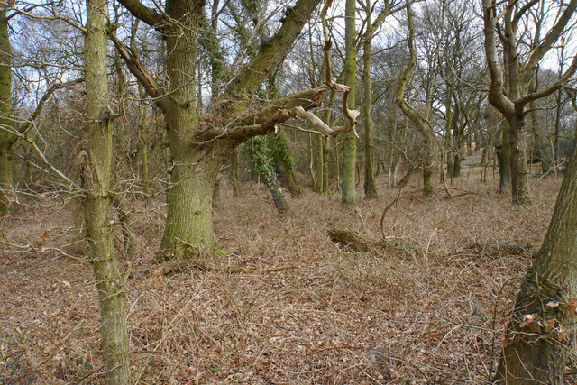
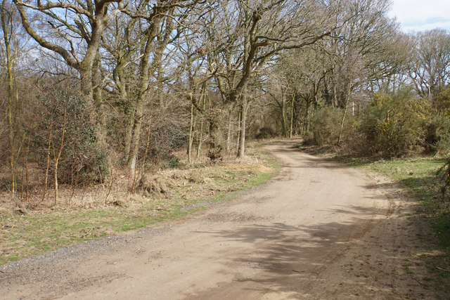
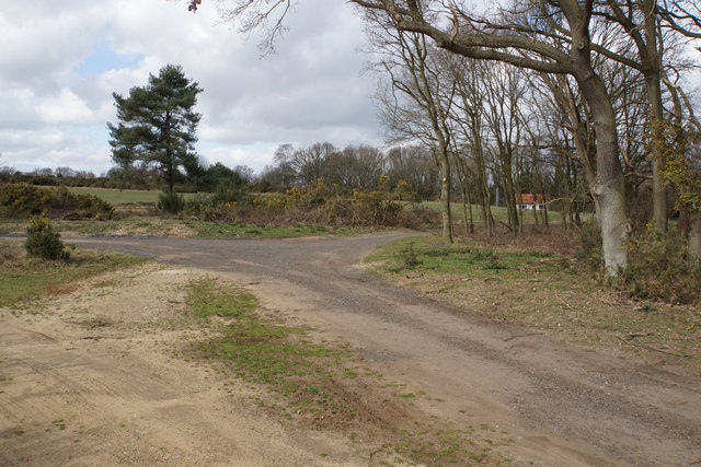
In addition to the burial mounds, Sutton Hoo offers stunning natural beauty, with walking trails through the estate's woodlands and fields. The site also features an informative visitor center, providing historical context and further insights into the archaeological significance of Sutton Hoo.
Overall, Sutton Hoo is a remarkable heritage site, offering a glimpse into the rich history and cultural heritage of the Anglo-Saxon period in England.
If you have any feedback on the listing, please let us know in the comments section below.
Sutton Hoo Images
Images are sourced within 2km of 52.089/1.338 or Grid Reference TM2848. Thanks to Geograph Open Source API. All images are credited.


Sutton Hoo is located at Grid Ref: TM2848 (Lat: 52.089, Lng: 1.338)
Administrative County: Suffolk
District: East Suffolk
Police Authority: Suffolk
What 3 Words
///messy.standing.toothpick. Near Woodbridge, Suffolk
Nearby Locations
Related Wikis

Sutton Hoo
Sutton Hoo is the site of two Anglo-Saxon cemeteries dating from the 6th to 7th centuries near Woodbridge, Suffolk, England. Archaeologists have been excavating...
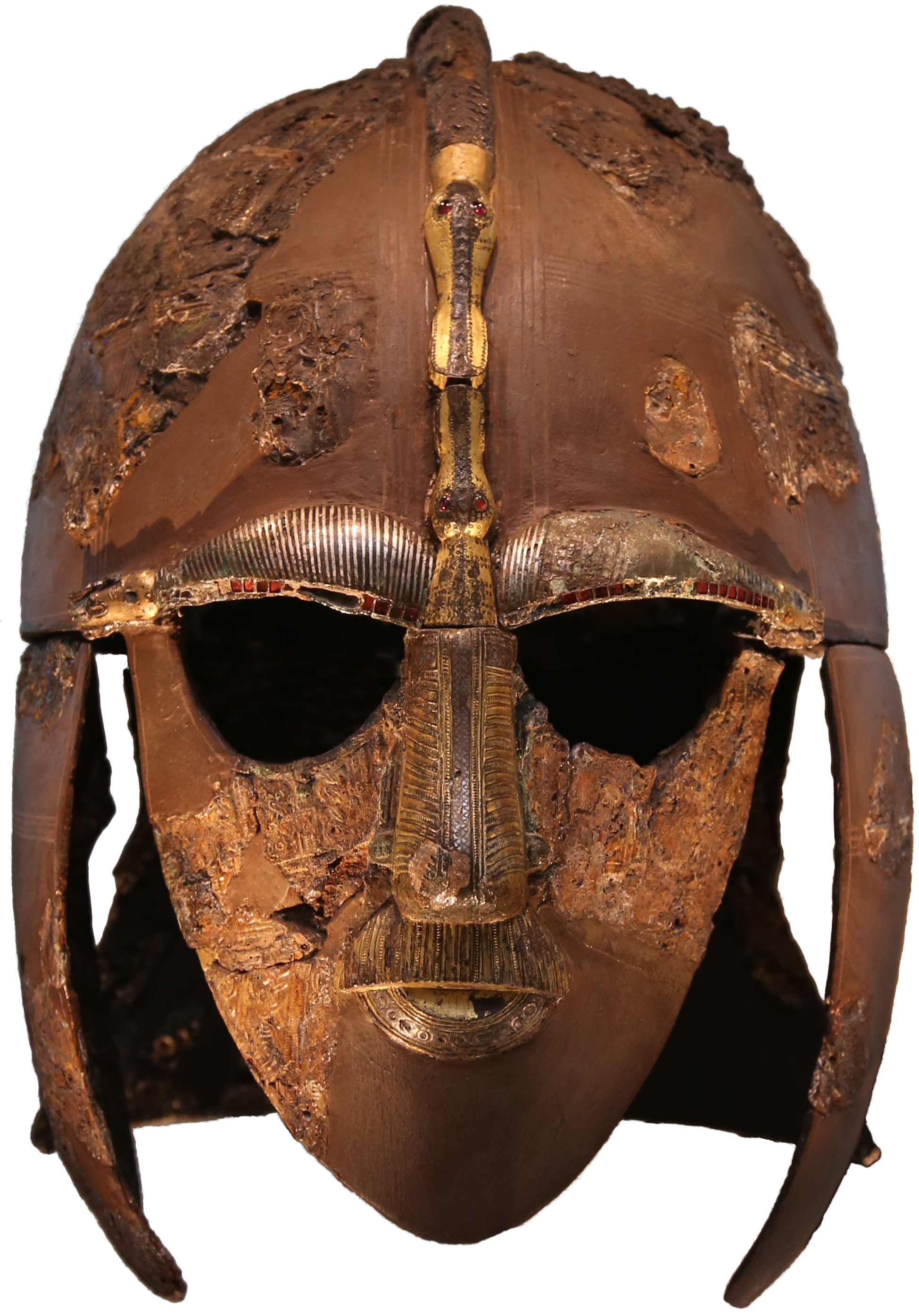
Sutton Hoo helmet
The Sutton Hoo helmet is a decorated Anglo-Saxon helmet found during a 1939 excavation of the Sutton Hoo ship-burial. It was buried around the years c...
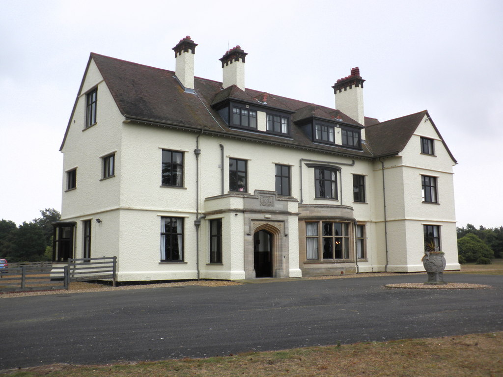
Tranmer House
Tranmer House is a country house in Sutton Hoo, Woodbridge, Suffolk, England, dating from 1910. The house is located on the Sutton Hoo Anglo-Saxon burial...

Sutton Hoo Helmet (sculpture)
Sutton Hoo Helmet is a 2002 sculpture by the English artist Rick Kirby. A representation of the Anglo-Saxon helmet by the same name found in the Sutton...

Ferry Cliff, Sutton
Ferry Cliff, Sutton is a 2.8-hectare (6.9-acre) geological Site of Special Scientific Interest Suffolk. It is a Geological Conservation Review site, and...
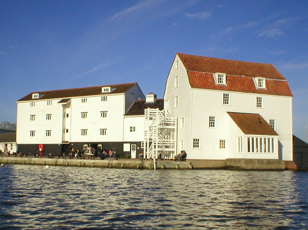
Woodbridge Tide Mill
Woodbridge Tide Mill in Woodbridge, Suffolk, England is a rare example of a tide mill whose water wheel still turns and is capable of grinding a wholemeal...

Suffolk Coastal
Suffolk Coastal was a local government district in Suffolk, England. Its council was based in Melton, having moved from neighbouring Woodbridge in 2017...
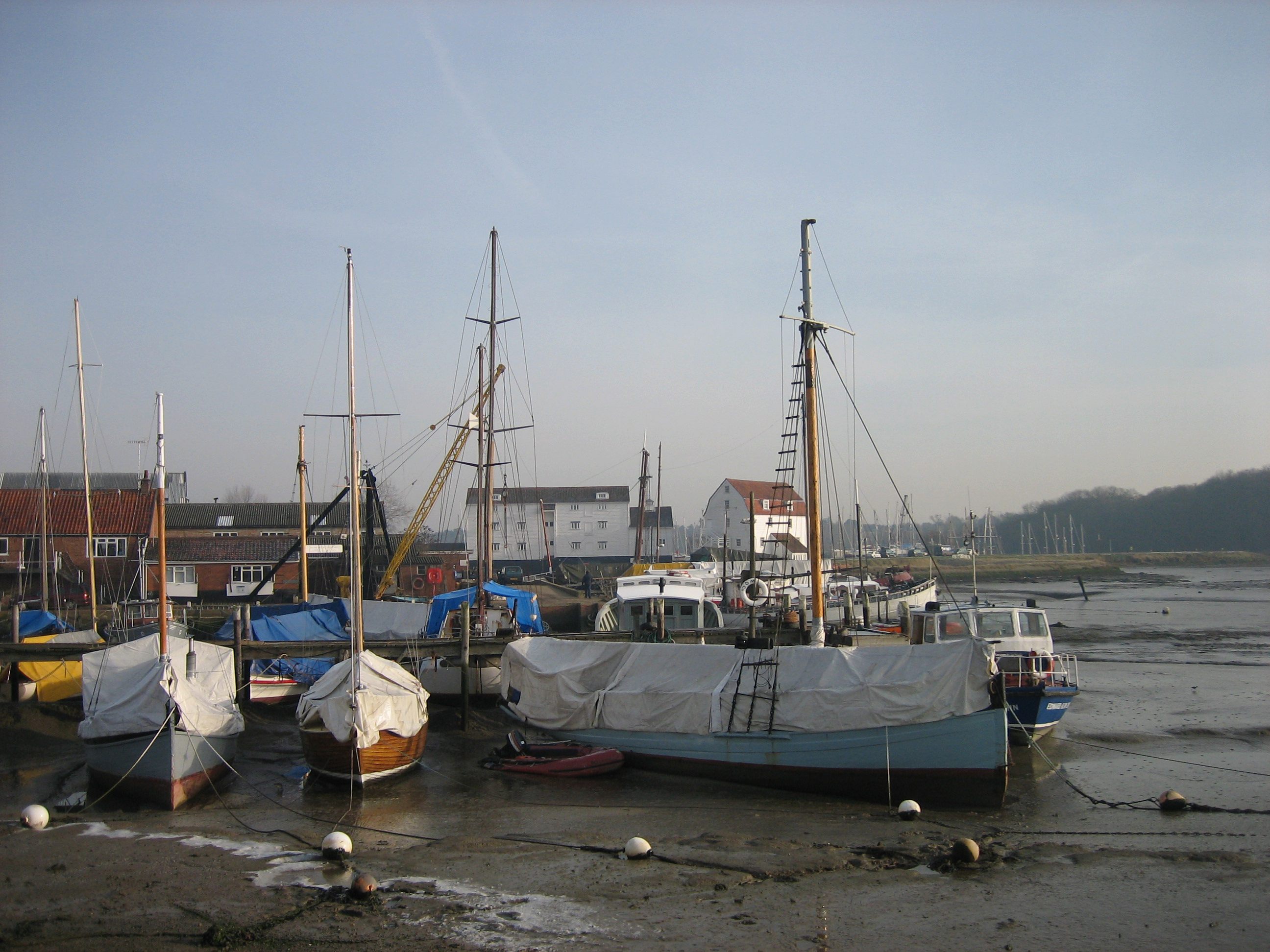
Woodbridge, Suffolk
Woodbridge is a port town and civil parish in the East Suffolk district of Suffolk, England. It is 8 miles (13 km) up the River Deben from the sea. It...
Nearby Amenities
Located within 500m of 52.089,1.338Have you been to Sutton Hoo?
Leave your review of Sutton Hoo below (or comments, questions and feedback).