Ferry Hill
Hill, Mountain in Suffolk East Suffolk
England
Ferry Hill
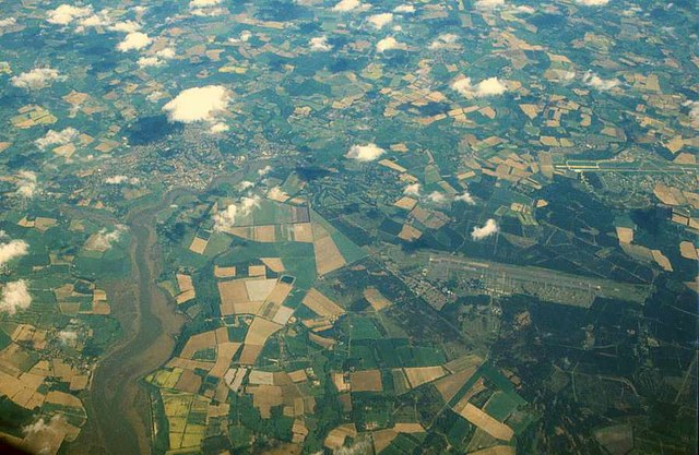
Ferry Hill is a small hill located in the county of Suffolk, England. Situated near the village of Felixstowe, it is a prominent landmark in the area. Despite its name, Ferry Hill is not actually a hill in the traditional sense, but rather a low-lying elevation that offers picturesque views of the surrounding countryside.
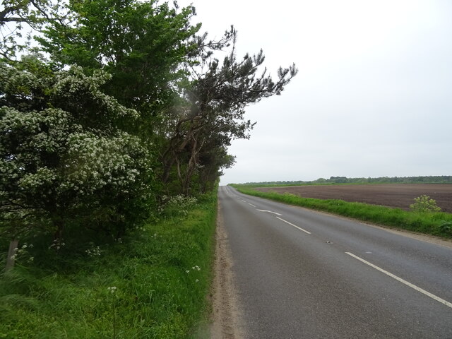
Covered in lush greenery and dotted with trees, Ferry Hill is a popular spot for nature enthusiasts and hikers. Its gentle slopes and well-maintained paths make it accessible to people of all ages and fitness levels. The hill is also home to a variety of wildlife, including birds, rabbits, and the occasional deer, adding to its natural charm.
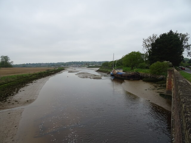
At the summit of Ferry Hill, visitors can enjoy stunning panoramic views of the Suffolk countryside and the nearby River Deben. On a clear day, it is even possible to catch a glimpse of the North Sea in the distance. The hilltop is a perfect spot for photographers and artists, as it offers a unique perspective on the surrounding landscape.
Ferry Hill is also of historical significance, with remnants of an Iron Age fort at its base. These ancient earthworks provide a glimpse into the area's rich history, attracting history buffs and archaeology enthusiasts.
Overall, Ferry Hill is a beautiful and tranquil location that provides a peaceful retreat from the hustle and bustle of daily life. Its natural beauty, diverse wildlife, and historical significance make it a must-visit destination for those exploring the Suffolk countryside.
If you have any feedback on the listing, please let us know in the comments section below.
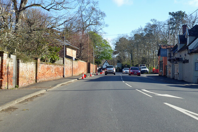
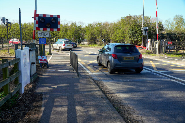
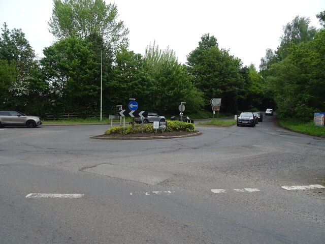
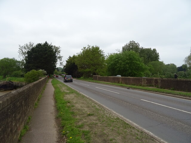
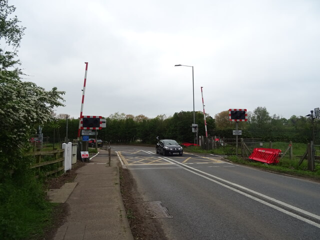
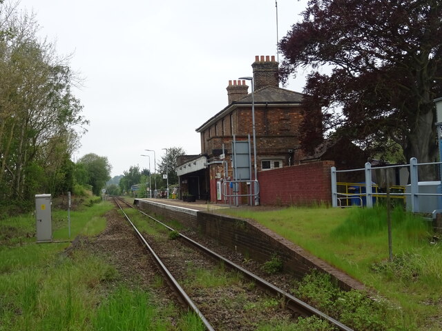
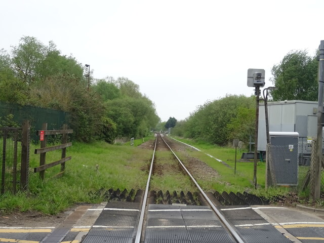
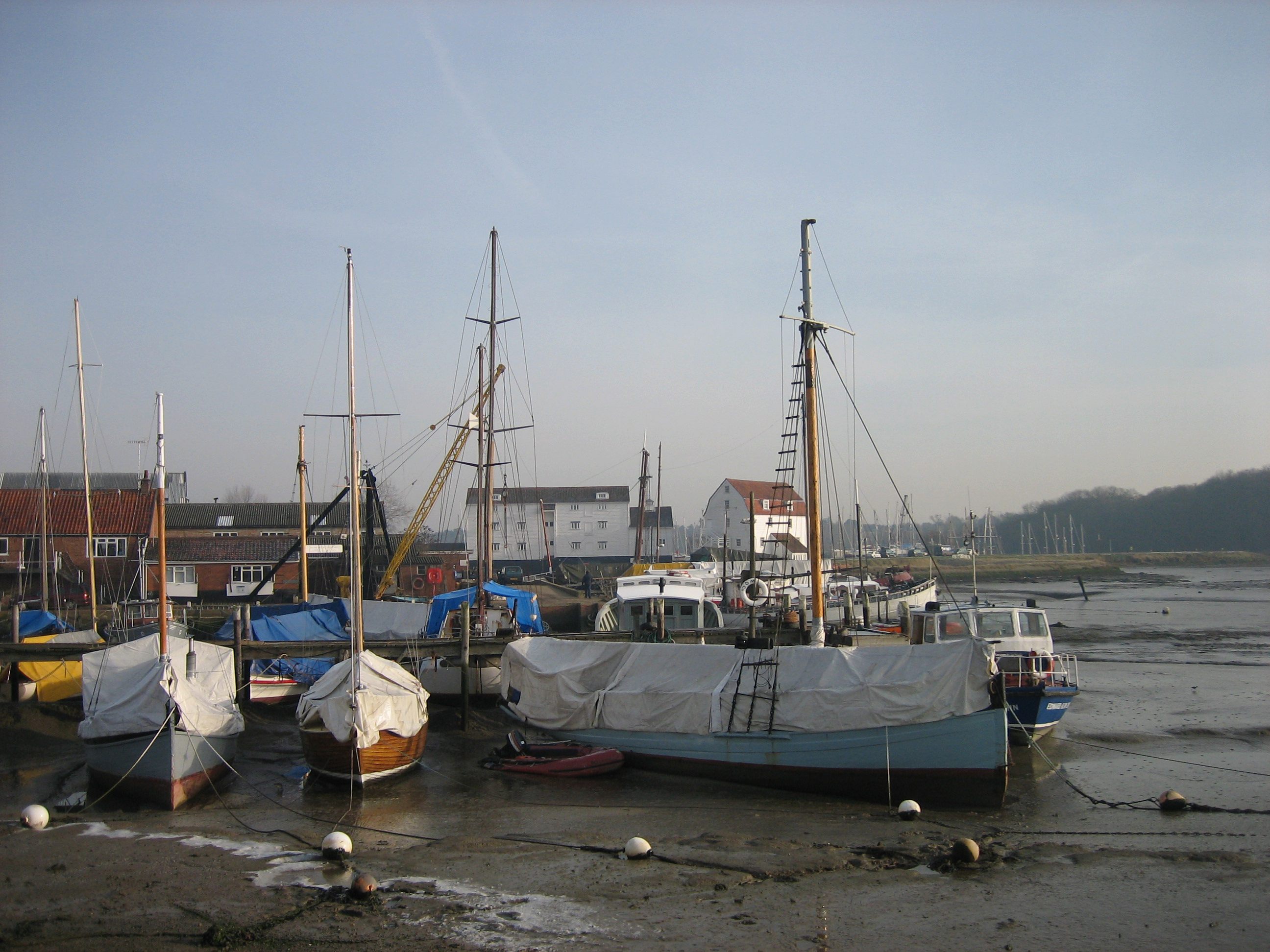
Ferry Hill Images
Images are sourced within 2km of 52.088284/1.3309267 or Grid Reference TM2848. Thanks to Geograph Open Source API. All images are credited.

Ferry Hill is located at Grid Ref: TM2848 (Lat: 52.088284, Lng: 1.3309267)
Administrative County: Suffolk
District: East Suffolk
Police Authority: Suffolk
What 3 Words
///baker.flushes.bulges. Near Woodbridge, Suffolk
Nearby Locations
Related Wikis

Ferry Cliff, Sutton
Ferry Cliff, Sutton is a 2.8-hectare (6.9-acre) geological Site of Special Scientific Interest Suffolk. It is a Geological Conservation Review site, and...

Sutton Hoo
Sutton Hoo is the site of two Anglo-Saxon cemeteries dating from the 6th to 7th centuries near Woodbridge, Suffolk, England. Archaeologists have been excavating...

Sutton Hoo helmet
The Sutton Hoo helmet is a decorated Anglo-Saxon helmet found during a 1939 excavation of the Sutton Hoo ship-burial. It was buried around the years c...
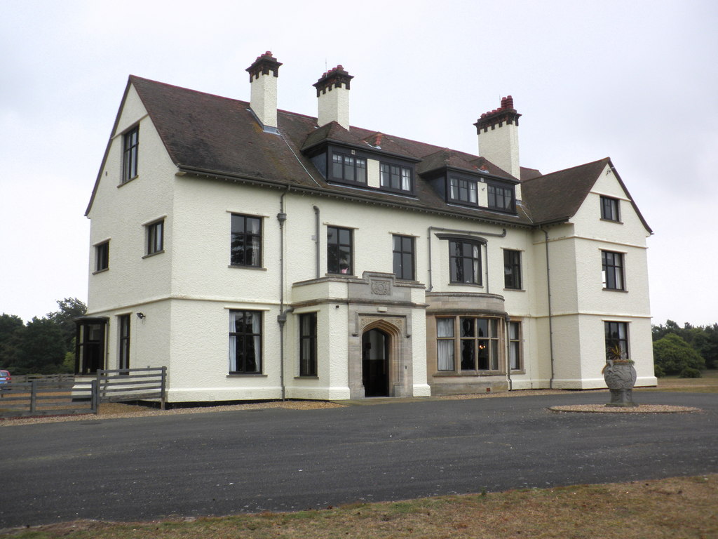
Tranmer House
Tranmer House is a country house in Sutton Hoo, Woodbridge, Suffolk, England, dating from 1910. The house is located on the Sutton Hoo Anglo-Saxon burial...
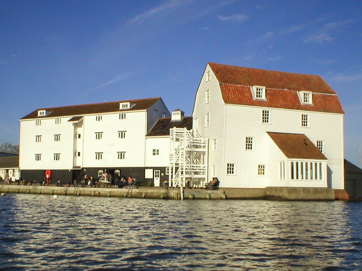
Woodbridge Tide Mill
Woodbridge Tide Mill in Woodbridge, Suffolk, England is a rare example of a tide mill whose water wheel still turns and is capable of grinding a wholemeal...
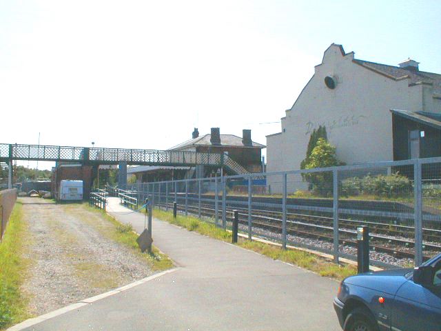
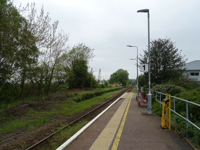
Woodbridge railway station
Woodbridge railway station is on the East Suffolk Line in the east of England, serving the town of Woodbridge, Suffolk. It is 10 miles 19 chains (16.5...
Woodbridge, Suffolk
Woodbridge is a port town and civil parish in the East Suffolk district of Suffolk, England. It is 8 miles (13 km) up the River Deben from the sea. It...

Sutton Hoo Helmet (sculpture)
Sutton Hoo Helmet is a 2002 sculpture by the English artist Rick Kirby. A representation of the Anglo-Saxon helmet by the same name found in the Sutton...
Nearby Amenities
Located within 500m of 52.088284,1.3309267Have you been to Ferry Hill?
Leave your review of Ferry Hill below (or comments, questions and feedback).