Bramble Hill
Hill, Mountain in Suffolk East Suffolk
England
Bramble Hill
Bramble Hill, located in Suffolk, England, is an idyllic hill that serves as a popular natural attraction for residents and tourists alike. Despite its name, Bramble Hill is not a mountain but rather a modest-sized hill, standing at a height of approximately 120 meters above sea level. It is situated in the eastern part of Suffolk, within close proximity to the charming village of Bramblecombe.
The hill is characterized by its gently rolling terrain and is covered in a variety of vegetation, including lush green grass, wildflowers, and patches of brambles, from which it derives its name. The landscape offers stunning panoramic views of the surrounding countryside, with the nearby fields, woodlands, and meandering streams adding to its picturesque charm.
Bramble Hill is a haven for nature enthusiasts, as it provides ample opportunities for hiking, walking, and birdwatching. Visitors can explore the numerous walking trails that crisscross the hill, allowing them to fully immerse themselves in the beauty of the natural surroundings. The hill is home to a diverse range of wildlife, including various species of birds, rabbits, and small mammals, making it an ideal spot for nature lovers to observe and appreciate the local fauna.
In addition to its natural attractions, Bramble Hill holds historical significance, with evidence of ancient settlements and burial mounds found in the area. Archaeological excavations have revealed artifacts that date back to the Neolithic and Bronze Age periods, providing valuable insights into the region's rich cultural heritage.
Overall, Bramble Hill in Suffolk offers a peaceful and serene escape from the hustle and bustle of daily life, providing visitors with an opportunity to connect with nature and indulge in its scenic beauty.
If you have any feedback on the listing, please let us know in the comments section below.
Bramble Hill Images
Images are sourced within 2km of 52.077166/1.3293684 or Grid Reference TM2847. Thanks to Geograph Open Source API. All images are credited.


![Sutton Hoo site [2] An unusual boat shaped seat beside the path from the visitor centre to the burial mounds.](https://s0.geograph.org.uk/geophotos/05/11/65/5116588_0e106489.jpg)
![Sutton Hoo site [3] A view of the estuary of the River Deben with the town of Woodbridge beyond. Seen from the path between the visitor centre and the burial mounds.](https://s2.geograph.org.uk/geophotos/05/11/65/5116590_f2ca99e3.jpg)
![Sutton Hoo site [4] These hard working sheep are keeping the grass short(ish) in the area of the burial mounds.](https://s3.geograph.org.uk/geophotos/05/11/65/5116591_5cf35094.jpg)
![Sutton Hoo site [5] From the viewing platform for the burial mounds, a footpath leads through the wonderfully named Top Hat Wood to Little Sutton Hoo.](https://s1.geograph.org.uk/geophotos/05/11/65/5116593_f2d1ddb0.jpg)
![Sutton Hoo site [6] After leaving the wonderfully named Top Hat Wood, the path continues towards Little Sutton Hoo.](https://s2.geograph.org.uk/geophotos/05/11/65/5116594_4a746b28.jpg)
![Sutton Hoo site [7] This house is called Little Sutton Hoo.](https://s0.geograph.org.uk/geophotos/05/11/65/5116596_b6fd79c6.jpg)
Bramble Hill is located at Grid Ref: TM2847 (Lat: 52.077166, Lng: 1.3293684)
Administrative County: Suffolk
District: East Suffolk
Police Authority: Suffolk
What 3 Words
///margin.cute.redeeming. Near Woodbridge, Suffolk
Nearby Locations
Related Wikis

Ferry Cliff, Sutton
Ferry Cliff, Sutton is a 2.8-hectare (6.9-acre) geological Site of Special Scientific Interest Suffolk. It is a Geological Conservation Review site, and...

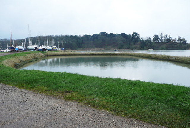
Sutton Hoo
Sutton Hoo is the site of two Anglo-Saxon cemeteries dating from the 6th to 7th centuries near Woodbridge, Suffolk, England. Archaeologists have been excavating...
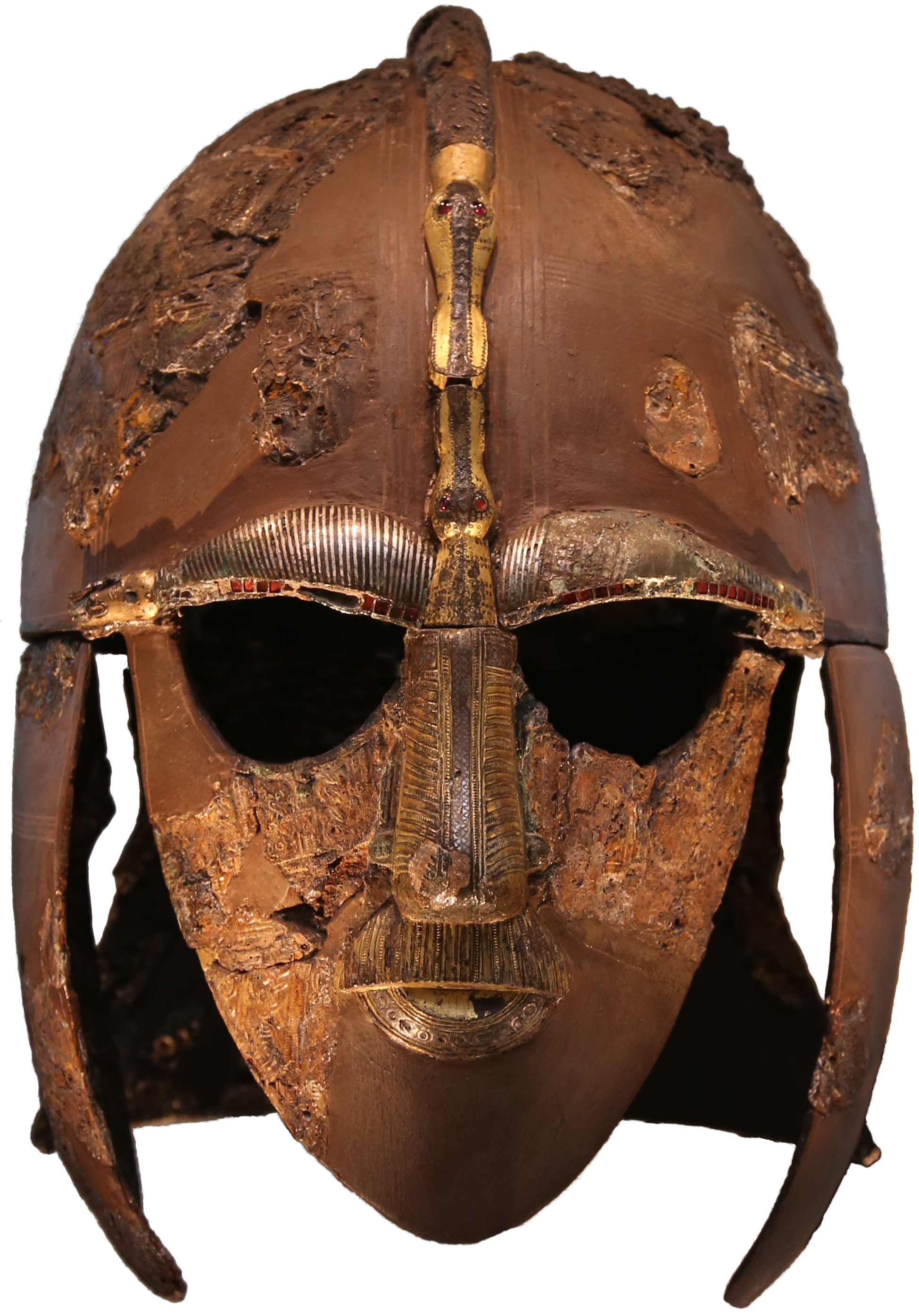
Sutton Hoo helmet
The Sutton Hoo helmet is a decorated Anglo-Saxon helmet found during a 1939 excavation of the Sutton Hoo ship-burial. It was buried around the years c...
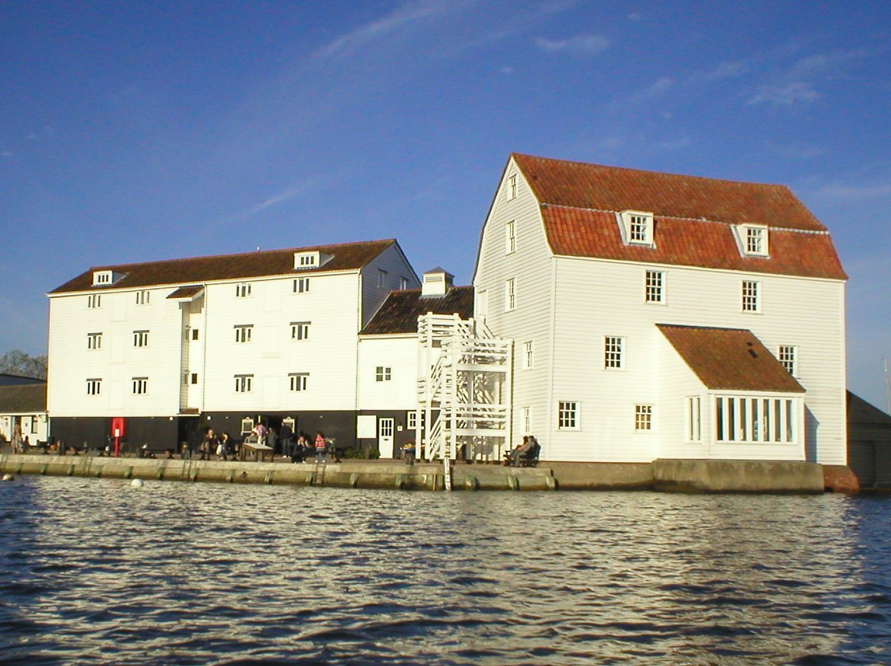
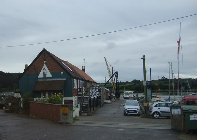
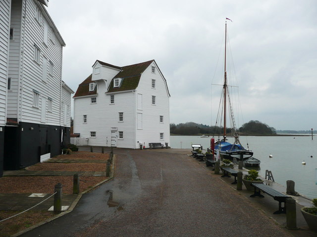
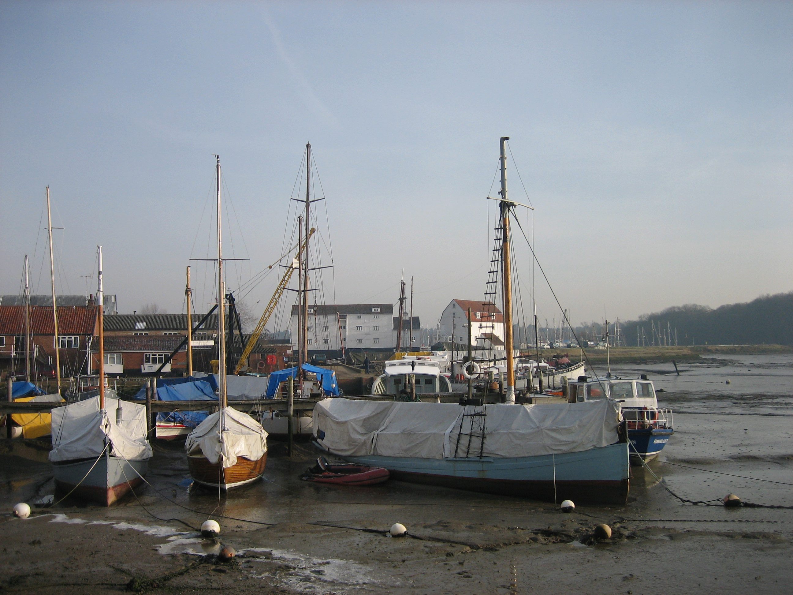
Woodbridge Tide Mill
Woodbridge Tide Mill in Woodbridge, Suffolk, England is a rare example of a tide mill whose water wheel still turns and is capable of grinding a wholemeal...
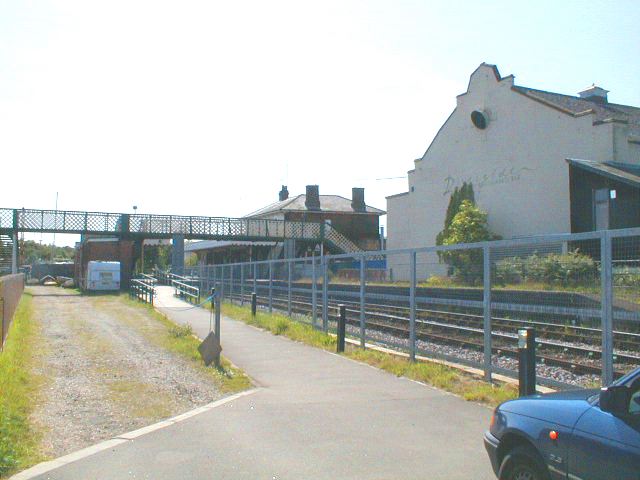
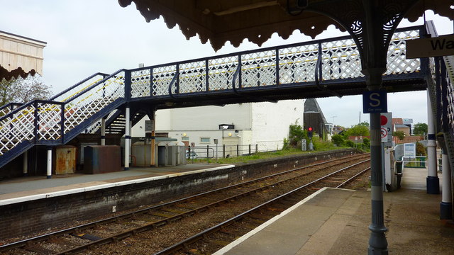
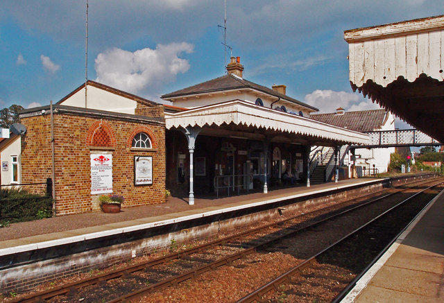
Woodbridge railway station
Woodbridge railway station is on the East Suffolk Line in the east of England, serving the town of Woodbridge, Suffolk. It is 10 miles 19 chains (16.5...
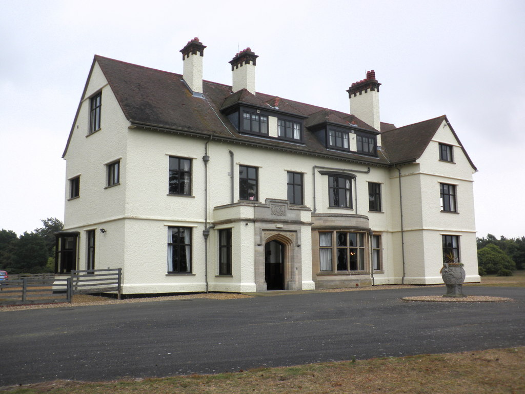
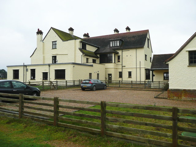
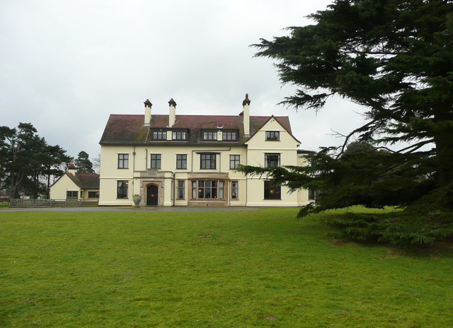
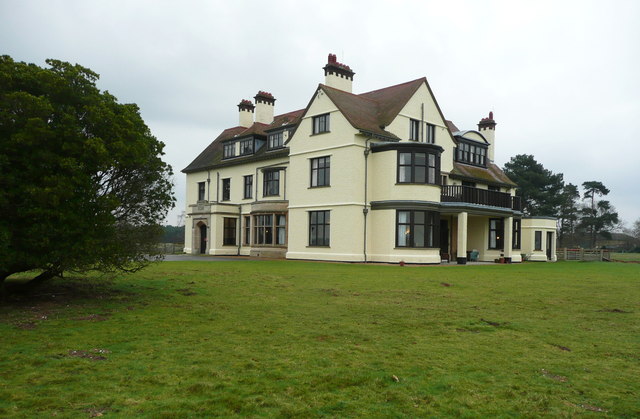
Tranmer House
Tranmer House is a country house in Sutton Hoo, Woodbridge, Suffolk, England, dating from 1910. The house is located on the Sutton Hoo Anglo-Saxon burial...
Woodbridge, Suffolk
Woodbridge is a port town and civil parish in the East Suffolk district of Suffolk, England. It is 8 miles (13 km) up the River Deben from the sea. It...
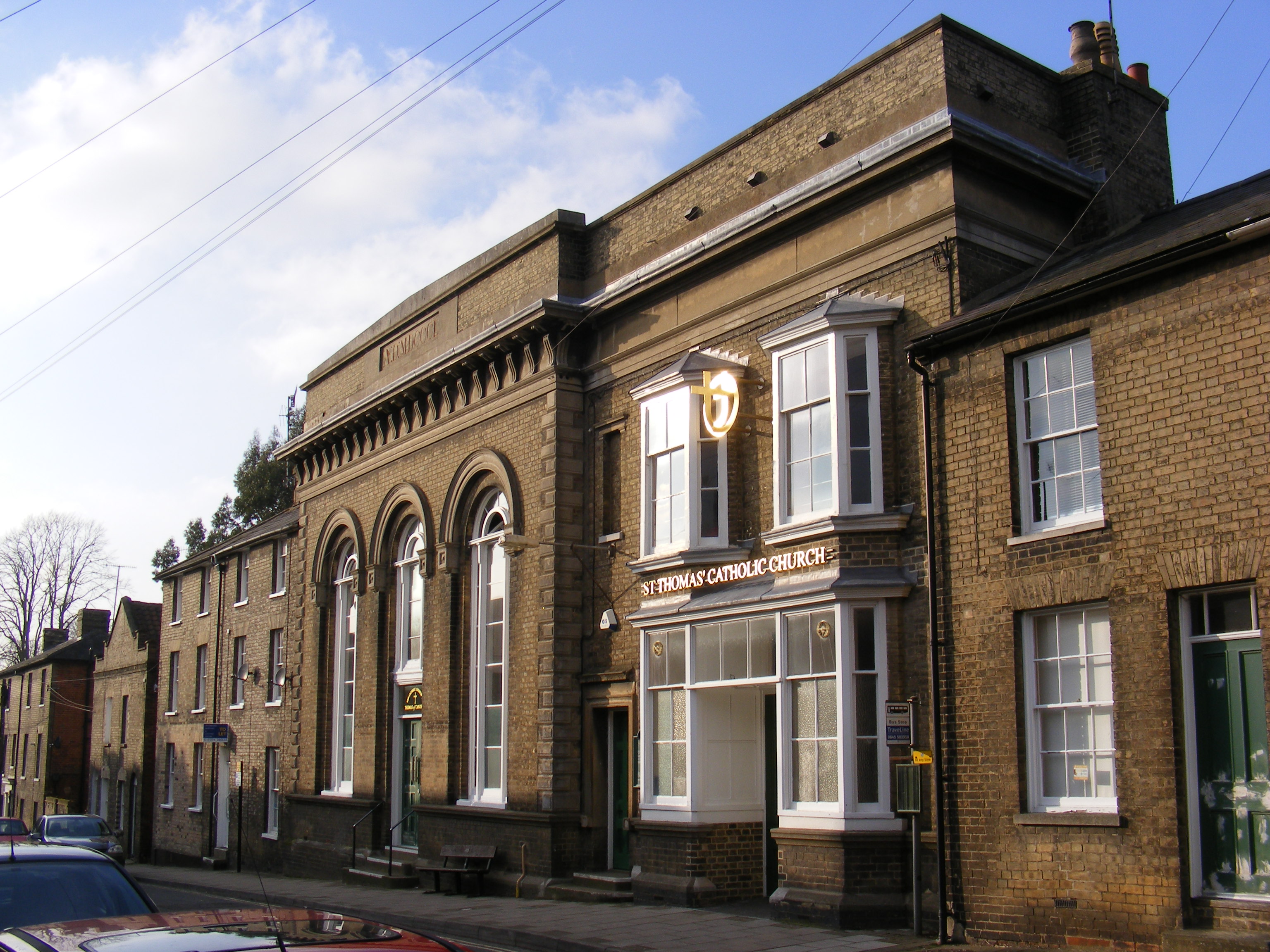
Church of St Thomas of Canterbury, Woodbridge
The Church of St Thomas of Canterbury is a Roman Catholic church in St John's Street in Woodbridge, Suffolk. It has been part of the Catholic Diocese...
Nearby Amenities
Located within 500m of 52.077166,1.3293684Have you been to Bramble Hill?
Leave your review of Bramble Hill below (or comments, questions and feedback).