Docker Hill

Hill, Mountain in Kent Thanet

England

Docker Hill

Pylons
Pylons Credit: N Chadwick

Docker Hill, located in Kent, England, is a small hill or mountain that offers picturesque views and a peaceful escape for nature lovers and hikers. Situated near the village of Brabourne, Docker Hill is a popular destination for both locals and tourists looking to explore the natural beauty of the Kent countryside.

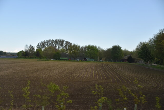
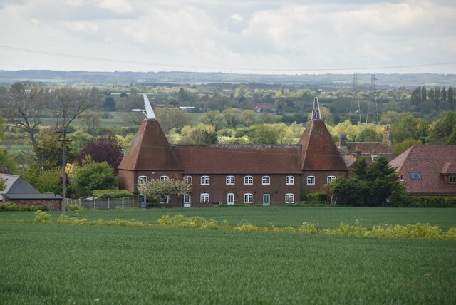
Standing at an elevation of approximately 600 feet, Docker Hill provides panoramic views of the surrounding area, including the rolling hills and farmland that characterize the region. The hill is covered in lush greenery, with trees and shrubs dotting its slopes, creating a tranquil and idyllic setting.

One of the highlights of Docker Hill is the walking trails that crisscross the area, allowing visitors to explore the hill and its surroundings on foot. These trails cater to all levels of fitness and offer different routes, ranging from leisurely strolls to more challenging hikes. Along the paths, visitors can enjoy the diverse flora and fauna that call Docker Hill home, including wildflowers, birds, and small mammals.

Additionally, Docker Hill is known for its historical significance. The area has archaeological sites dating back to the Roman era, with remnants of ancient settlements and fortifications discovered in the vicinity. These historical features add an extra layer of interest to the hill, attracting history enthusiasts and archaeology buffs.

Overall, Docker Hill in Kent offers a peaceful retreat and a chance to connect with nature. Its stunning views, walking trails, and historical significance make it a must-visit destination for those exploring the region.

If you have any feedback on the listing, please let us know in the comments section below.
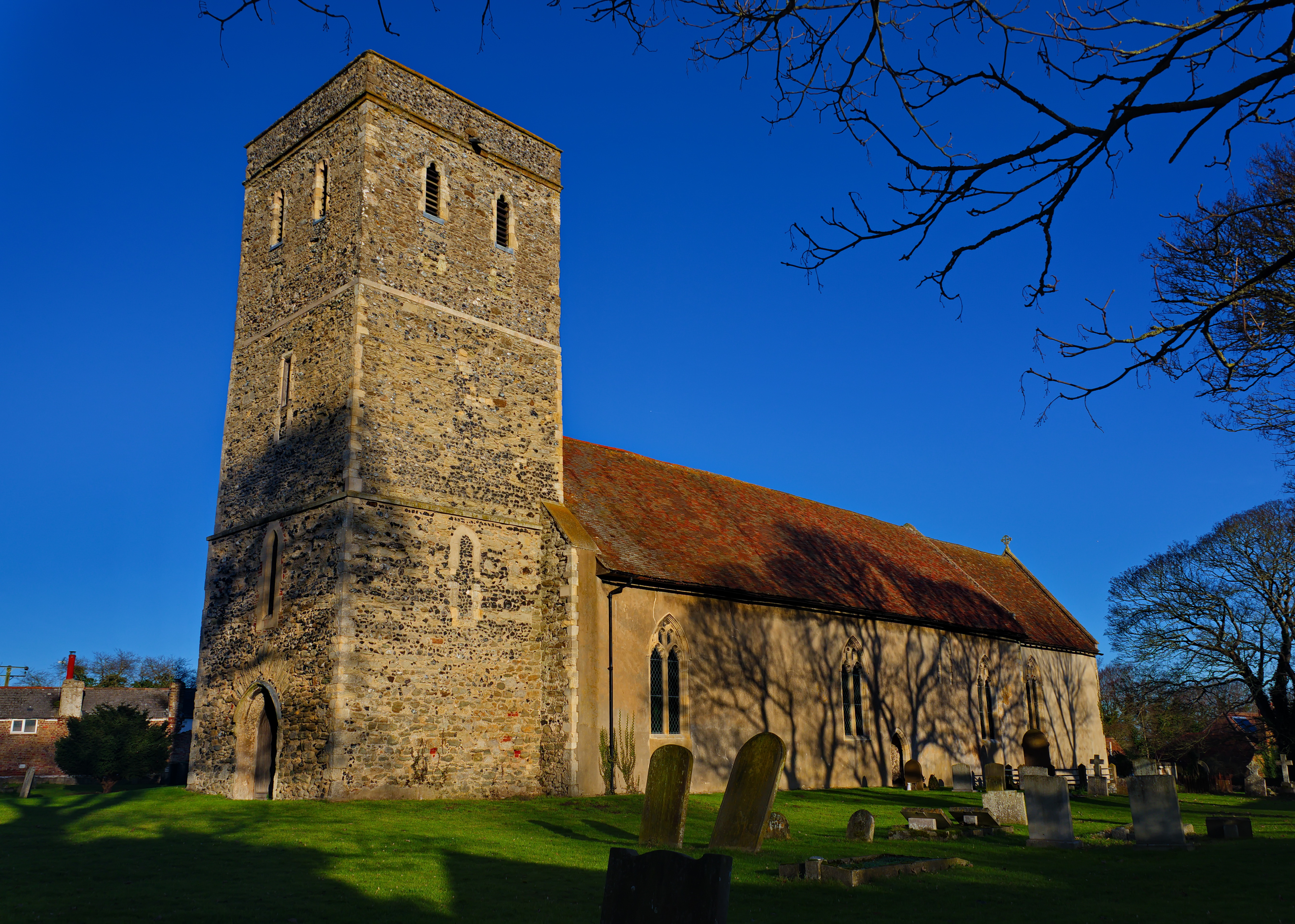
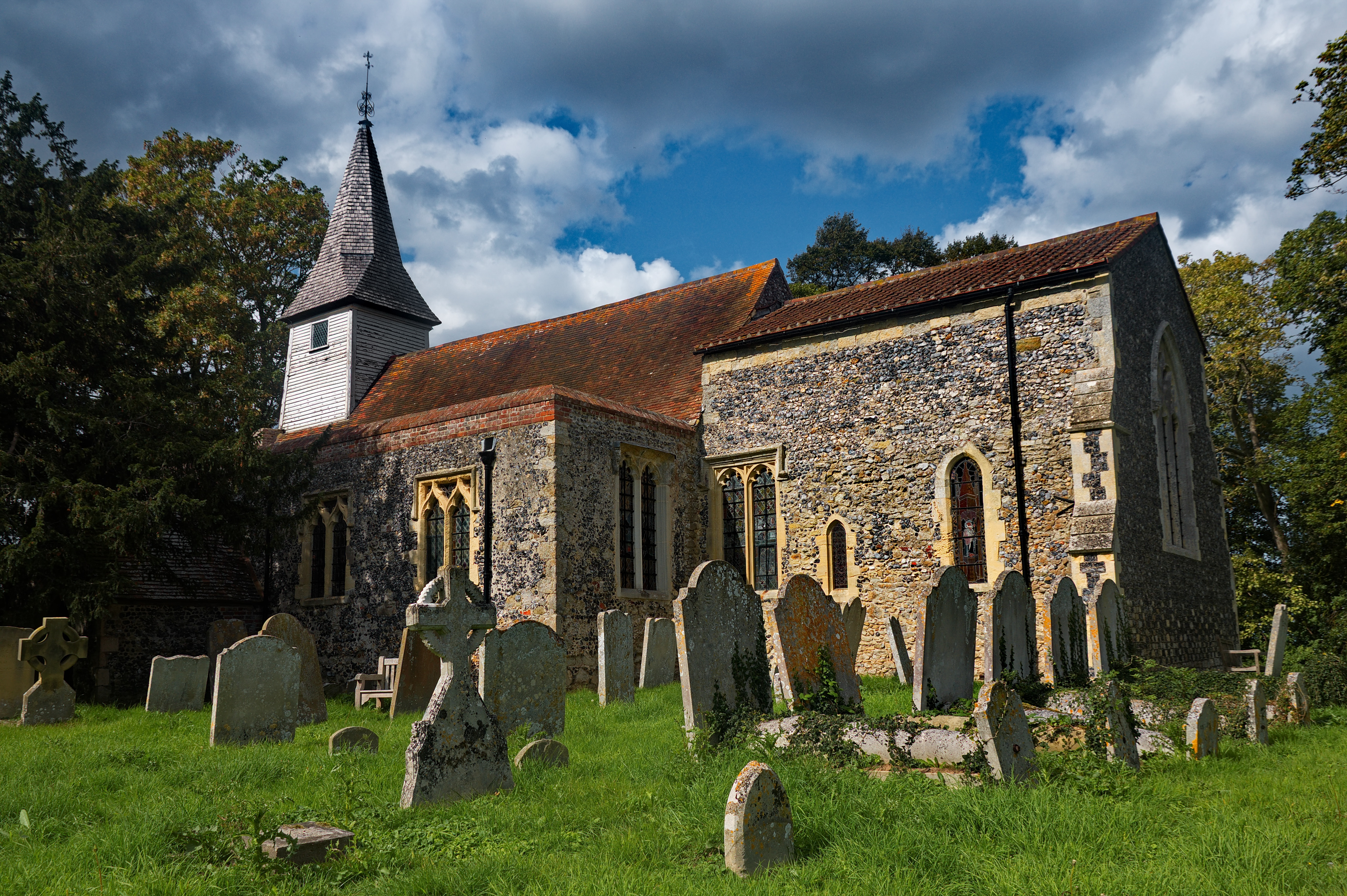
Docker Hill Images

Images are sourced within 2km of 51.326608/1.2741328 or Grid Reference TR2863. Thanks to Geograph Open Source API. All images are credited.

Pylons
Pylons
Farmland, Monkton Marshes
Barn near Monkton
Barn near Monkton
Farmland, Sherrifs Court
Building site, Monkton Street Planning permission has been granted by Thanet District Council under application number F/TH/21/1795 for “change of use of existing agricultural buildings to light industrial and/or storage use”.
Building site, Monkton Street
Planning permission has been granted by Thanet District Council under application number F/TH/21/1795 for “change of use of existing agricultural buildings to light industrial and/or storage use”.
116, Monkton Street Planning permission has been granted by Thanet District Council under application number OL/TH/20/0335 for an “outline application for the erection of 19 houses (two storey) and 18 retirement flats (two storey) with associated parking including access, landscaping, layout and scale together with the change of use and enlargement of existing storage building to a single storey retail unit following demolition of existing buildings”. 

The premises used to be occupied by the funeral directors W S Cole and Son.
116, Monkton Street
Planning permission has been granted by Thanet District Council under application number OL/TH/20/0335 for an “outline application for the erection of 19 houses (two storey) and 18 retirement flats (two storey) with associated parking including access, landscaping, layout and scale together with the change of use and enlargement of existing storage building to a single storey retail unit following demolition of existing buildings”. The premises used to be occupied by the funeral directors W S Cole and Son.
Main entrance to building site, Monkton Street Planning permission has been granted by Thanet District Council under application number F/TH/21/1795 for “change of use of existing agricultural buildings to light industrial and/or storage use”.

An easterly view of the <a href="https://www.geograph.org.uk/photo/7176756">TR2964 : Building site, Monkton Street</a> was taken in May 2022.
Main entrance to building site, Monkton Street
Planning permission has been granted by Thanet District Council under application number F/TH/21/1795 for “change of use of existing agricultural buildings to light industrial and/or storage use”. An easterly view of the TR2964 : Building site, Monkton Street was taken in May 2022.
Building site, Monkton Street Planning permission has been granted by Thanet District Council under application number F/TH/21/1795 for “change of use of existing agricultural buildings to light industrial and/or storage use”.

At the far end of the terrace is the <a href="https://www.geograph.org.uk/photo/7307755">TR2964 : Main entrance to building site, Monkton Street</a>.
Building site, Monkton Street
Planning permission has been granted by Thanet District Council under application number F/TH/21/1795 for “change of use of existing agricultural buildings to light industrial and/or storage use”. At the far end of the terrace is the TR2964 : Main entrance to building site, Monkton Street.
Walter Hall Farm Unusual louvre ventilated kiln roofs, replacing earlier traditional square kiln roofs. Hoist to road side.

See photo from 1960s showing original kiln roofs <span class="nowrap"><a title="http://www.francisfrith.com/monkton,kent/photos/oast-house-c1960_m257013/#utmcsr=google.co.uk&utmcmd=referral&utmccn=google.co.uk" rel="nofollow ugc noopener" href="http://www.francisfrith.com/monkton,kent/photos/oast-house-c1960_m257013/#utmcsr=google.co.uk&utmcmd=referral&utmccn=google.co.uk">Link</a><img style="margin-left:2px;" alt="External link" title="External link - shift click to open in new window" src="https://s1.geograph.org.uk/img/external.png" width="10" height="10"/></span>
Walter Hall Farm
Unusual louvre ventilated kiln roofs, replacing earlier traditional square kiln roofs. Hoist to road side. See photo from 1960s showing original kiln roofs LinkExternal link
Woodland, Walter Hall Farm
Arable land on the slopes of The Isle of Thanet
"Local traffic"
"Local traffic"
Bridleway to Monkton
Parsonage Oast
Parsonage Oast
Arable land on the slopes of The Isle of Thanet
Parsonage Oast
Parsonage Oast
Parsonage Oast
Parsonage Oast
Willets Hill
Willets Hill
Show me another place!

Docker Hill is located at Grid Ref: TR2863 (Lat: 51.326608, Lng: 1.2741328)

Administrative County: Kent

District: Thanet

Police Authority: Kent

What 3 Words

///tasty.pheasants.preoccupied. Near Ash, Kent

Related Wikis

Plucks Gutter

Plucks Gutter is a hamlet in the civil parish of Stourmouth, Kent, England. The hamlet is situated where the Little Stour and Great Stour rivers meet...

Monkton, Kent

Monkton is a village and civil parish in the Thanet District of Kent, England. The village is located at the south-west edge of the Isle of Thanet and...

Little Stour

The Little Stour is one of the tributaries of the River Stour in the English county of Kent. The upper reaches of the river is known as the Nailbourne...

Stourmouth

Stourmouth is a civil parish in the Dover non-metropolitan district of Kent, England. The parish contains the settlements of East and West Stourmouth,...

Westmarsh

Westmarsh is a village in the Ash civil parish of East Kent, England. It is situated 8 miles (13 km) east of Canterbury and 7 miles (11 km) west of Ramsgate...

Sarre Windmill

Sarre Windmill is a Grade II listed smock mill in Sarre, Kent, England, that was built in 1820. Formerly restored and working commercially, the mill is...

All Saints Church, West Stourmouth

All Saints Church, West Stourmouth, is a redundant Anglican church in the civil parish of Stourmouth, Kent, England. It is recorded in the National Heritage...

Sarre, Kent

Sarre is a village and civil parish in Thanet District in Kent, England. The village is a part of St. Nicholas-at-Wade ecclesiastical parish, after having...

Nearby Amenities

Located within 500m of 51.326608,1.2741328
Design: barrel
Power: tower
Lat/Long: 51.329243/1.2779245
Monkton Marshes
Place: locality
Lat/Long: 51.3293564/1.2703763
LH FID 43
Power: tower
Lat/Long: 51.3308251/1.2732493
LH FID 44
Power: tower
Lat/Long: 51.3304502/1.2772413
Power: tower
Lat/Long: 51.330152/1.272513
Power: tower
Lat/Long: 51.330332/1.275575
Power: tower
Lat/Long: 51.330101/1.275566
The data included in this document is from www.openstreetmap.org. The data is made available under ODbL.

Have you been to Docker Hill?

Leave your review of Docker Hill below (or comments, questions and feedback).