Fir Holt
Wood, Forest in Suffolk East Suffolk
England
Fir Holt
Fir Holt is a picturesque village located in the county of Suffolk, England. Situated amidst lush woodlands and forests, it is renowned for its natural beauty and tranquil atmosphere. The village is nestled within the heart of the Suffolk countryside, surrounded by rolling hills and scenic landscapes.
Fir Holt is characterized by its dense fir trees, which lend the village its name. These majestic trees dominate the landscape, creating an enchanting forest environment that attracts nature lovers and outdoor enthusiasts from far and wide. The woodlands offer various walking trails and paths, allowing visitors to explore the area and immerse themselves in the serene surroundings.
The village itself is small and charming, with a close-knit community that takes pride in preserving its traditional character. The local architecture reflects the rural charm of Suffolk, with quaint cottages and historic buildings dotting the streets. A sense of tranquility pervades the village, making it a haven for those seeking a peaceful retreat.
Fir Holt is also home to a range of wildlife, including deer, rabbits, and a diverse array of bird species. Birdwatchers can enjoy spotting rare and migratory birds in the area, while nature enthusiasts can revel in the abundance of flora and fauna that thrives in the woodland habitat.
Overall, Fir Holt is a hidden gem in the Suffolk countryside, offering a delightful blend of natural beauty, rural charm, and a welcoming community. Whether it's for a relaxing stroll through the woods or a weekend getaway, this idyllic village provides a perfect escape from the hustle and bustle of modern life.
If you have any feedback on the listing, please let us know in the comments section below.
Fir Holt Images
Images are sourced within 2km of 52.078267/1.3279614 or Grid Reference TM2847. Thanks to Geograph Open Source API. All images are credited.


![Sutton Hoo site [1] Part of the visitor centre.](https://s3.geograph.org.uk/geophotos/05/11/65/5116587_d7fcd831.jpg)
![Sutton Hoo site [2] An unusual boat shaped seat beside the path from the visitor centre to the burial mounds.](https://s0.geograph.org.uk/geophotos/05/11/65/5116588_0e106489.jpg)
![Sutton Hoo site [3] A view of the estuary of the River Deben with the town of Woodbridge beyond. Seen from the path between the visitor centre and the burial mounds.](https://s2.geograph.org.uk/geophotos/05/11/65/5116590_f2ca99e3.jpg)
![Sutton Hoo site [4] These hard working sheep are keeping the grass short(ish) in the area of the burial mounds.](https://s3.geograph.org.uk/geophotos/05/11/65/5116591_5cf35094.jpg)
Fir Holt is located at Grid Ref: TM2847 (Lat: 52.078267, Lng: 1.3279614)
Administrative County: Suffolk
District: East Suffolk
Police Authority: Suffolk
What 3 Words
///dashes.supporter.cooked. Near Woodbridge, Suffolk
Nearby Locations
Related Wikis

Ferry Cliff, Sutton
Ferry Cliff, Sutton is a 2.8-hectare (6.9-acre) geological Site of Special Scientific Interest Suffolk. It is a Geological Conservation Review site, and...

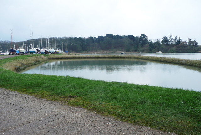
Sutton Hoo
Sutton Hoo is the site of two Anglo-Saxon cemeteries dating from the 6th to 7th centuries near Woodbridge, Suffolk, England. Archaeologists have been excavating...

Sutton Hoo helmet
The Sutton Hoo helmet is a decorated Anglo-Saxon helmet found during a 1939 excavation of the Sutton Hoo ship-burial. It was buried around the years c...
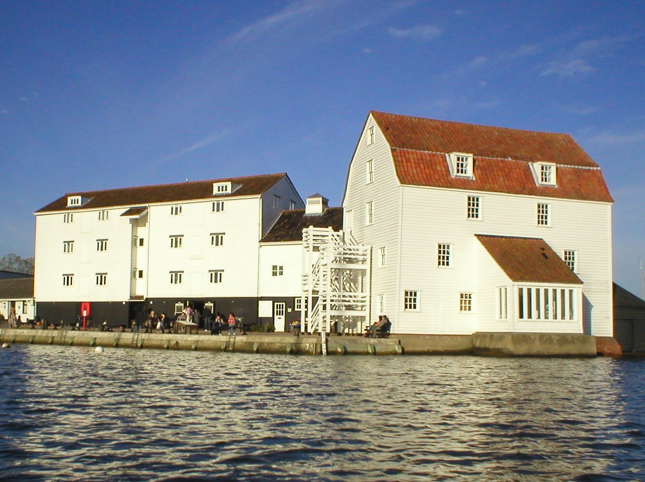
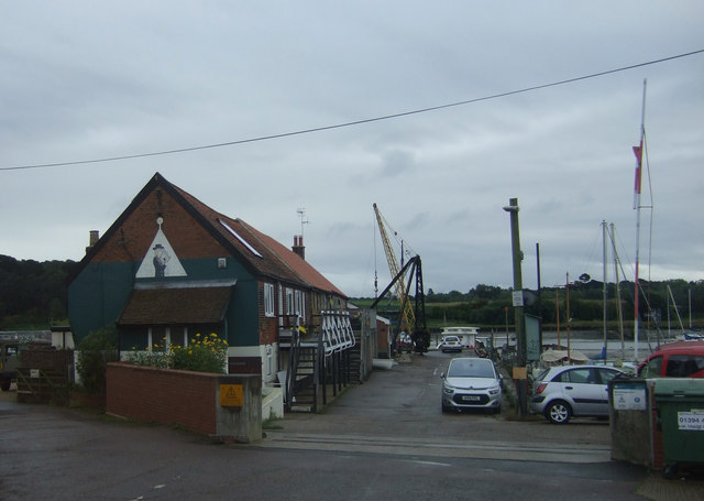
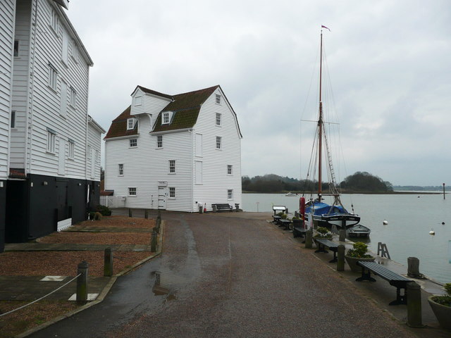
Woodbridge Tide Mill
Woodbridge Tide Mill in Woodbridge, Suffolk, England is a rare example of a tide mill whose water wheel still turns and is capable of grinding a wholemeal...
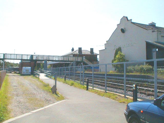
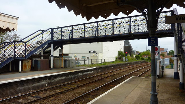
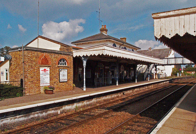
Woodbridge railway station
Woodbridge railway station is on the East Suffolk Line in the east of England, serving the town of Woodbridge, Suffolk. It is 10 miles 19 chains (16.5...
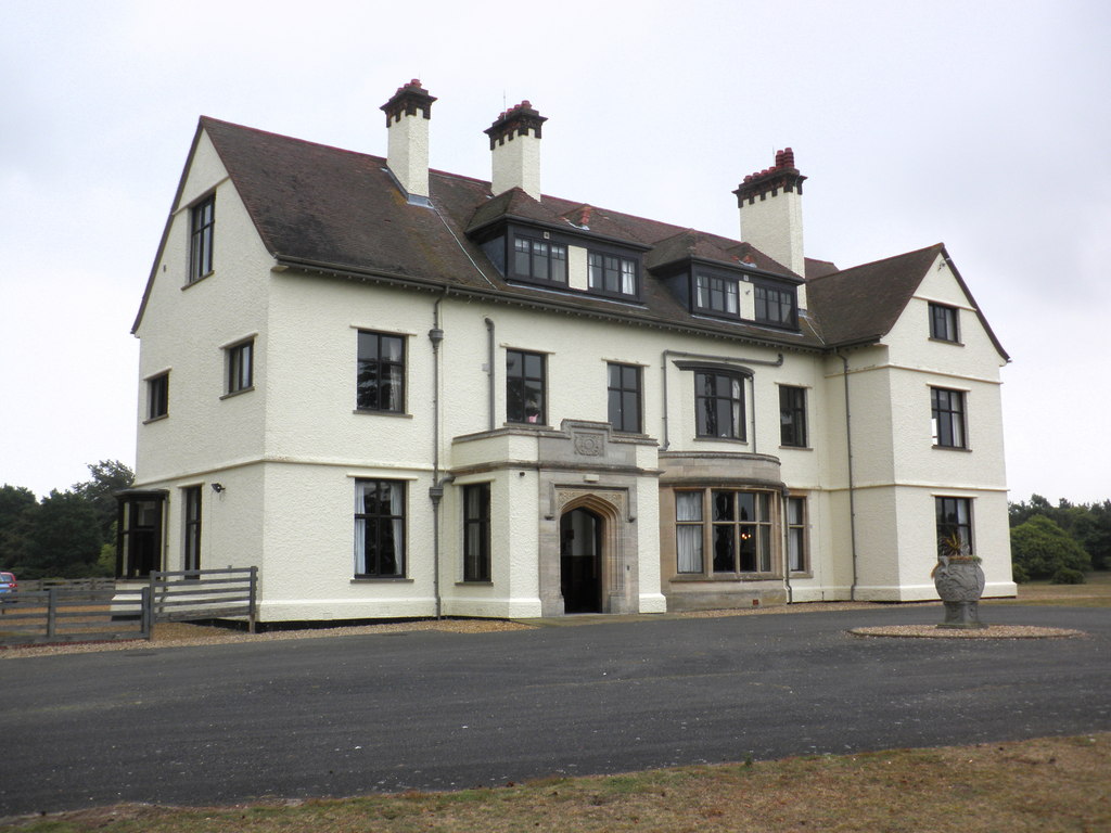
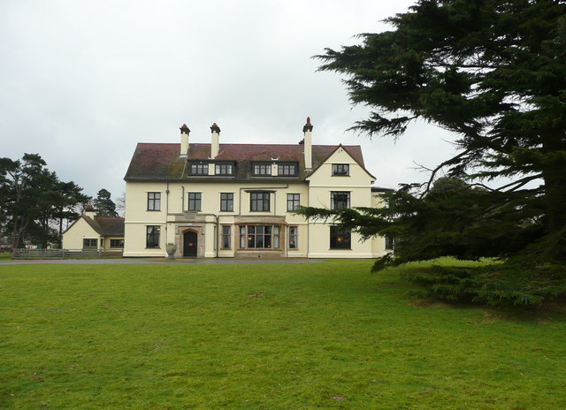
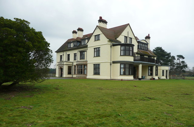
Tranmer House
Tranmer House is a country house in Sutton Hoo, Woodbridge, Suffolk, England, dating from 1910. The house is located on the Sutton Hoo Anglo-Saxon burial...
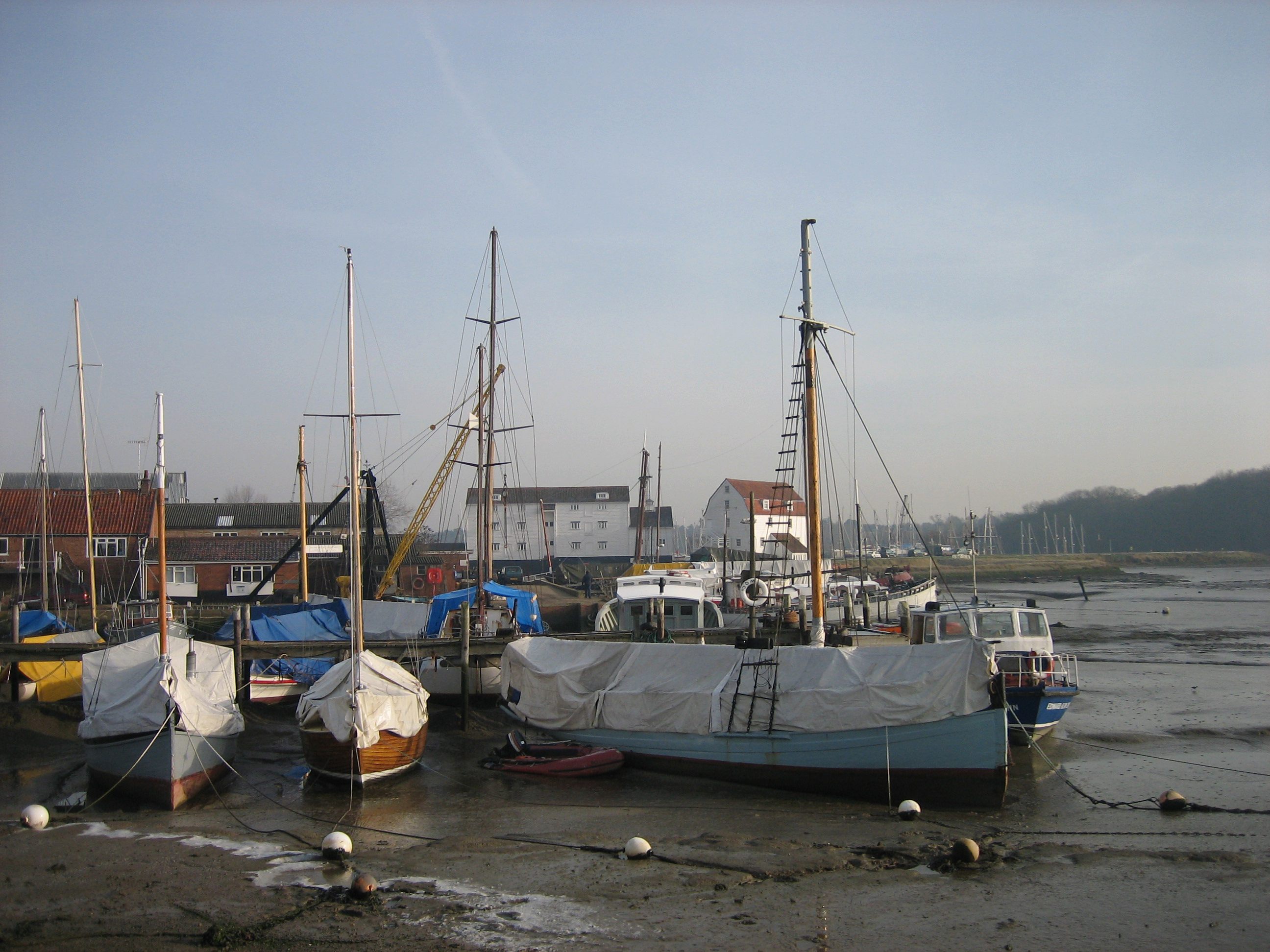
Woodbridge, Suffolk
Woodbridge is a port town and civil parish in the East Suffolk district of Suffolk, England. It is 8 miles (13 km) up the River Deben from the sea. It...
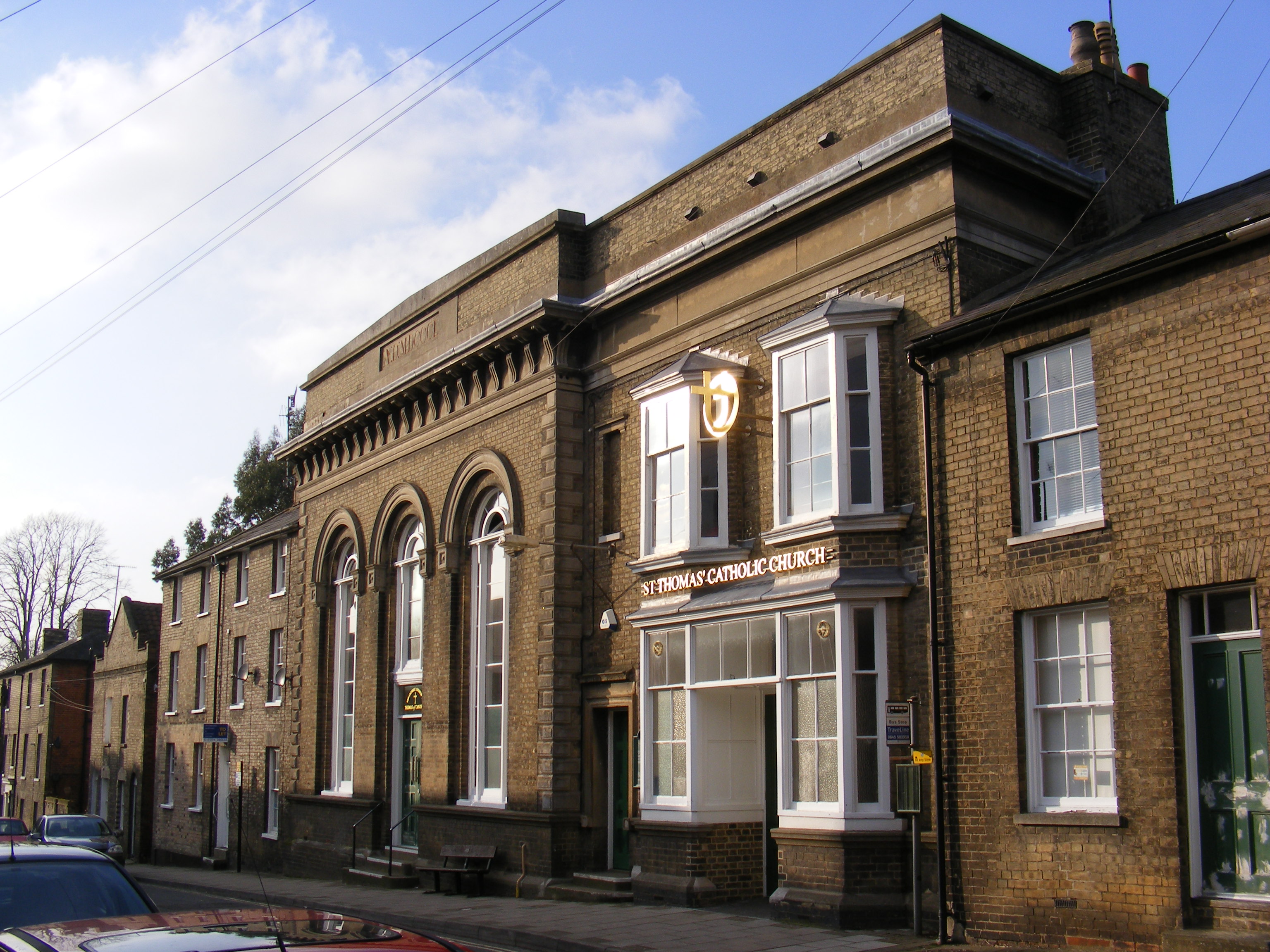
Church of St Thomas of Canterbury, Woodbridge
The Church of St Thomas of Canterbury is a Roman Catholic church in St John's Street in Woodbridge, Suffolk. It has been part of the Catholic Diocese...
Nearby Amenities
Located within 500m of 52.078267,1.3279614Have you been to Fir Holt?
Leave your review of Fir Holt below (or comments, questions and feedback).