Arundel Belt
Wood, Forest in Suffolk East Suffolk
England
Arundel Belt

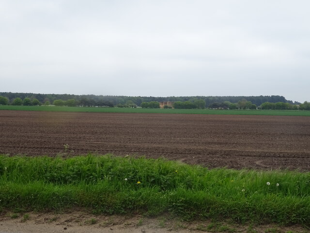
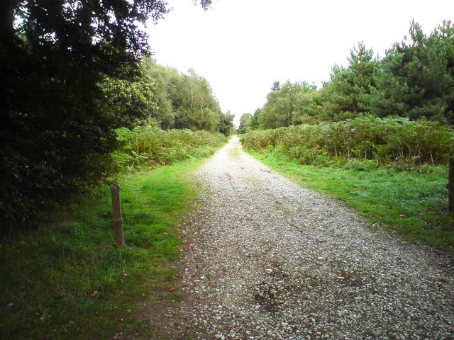
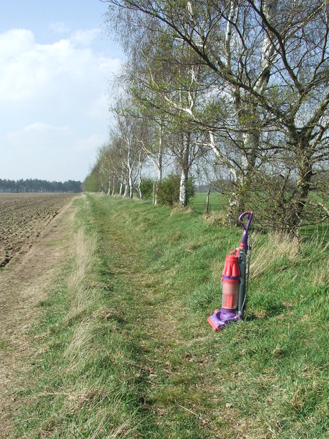
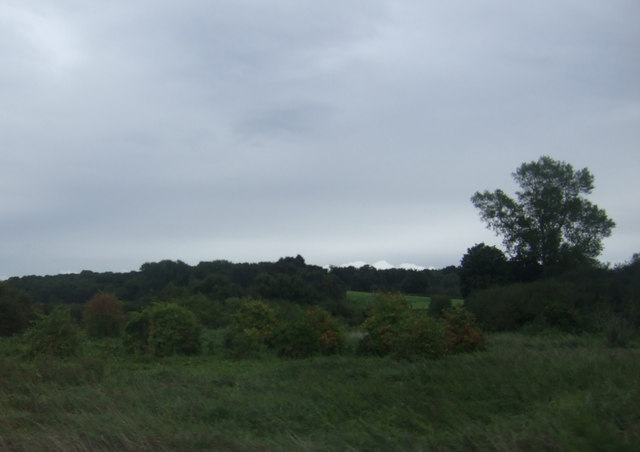
Arundel Belt is a picturesque woodland located in the county of Suffolk, England. Spanning over a vast area, this forest is renowned for its natural beauty and rich biodiversity, attracting nature enthusiasts and hikers from far and wide.
The woodland is predominantly composed of various species of trees, including oak, beech, and birch, which create a dense and verdant canopy. These towering trees provide shelter for a variety of wildlife, making the forest a haven for numerous species of birds, mammals, and insects.
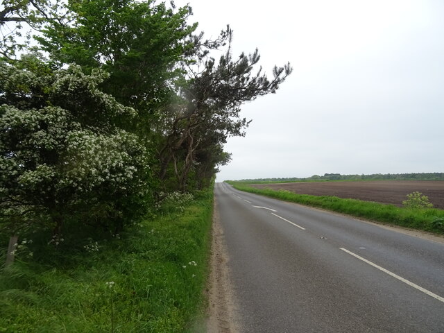
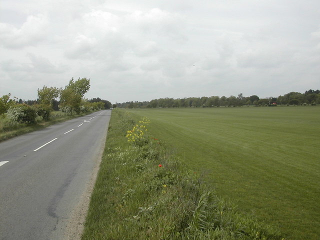
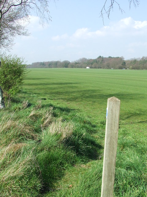
Arundel Belt offers a network of well-maintained trails and paths, allowing visitors to explore the forest at their own pace. The paths wind through the serene and tranquil surroundings, offering stunning views of the woodland landscape, seasonal wildflowers, and the occasional glimpse of wildlife.
The forest is also home to a number of small ponds and streams, adding to the enchanting atmosphere of the area. These water sources provide habitats for amphibians and aquatic creatures, adding to the biodiversity of the woodland.
Arundel Belt holds great historical significance as well, with evidence of human activity dating back centuries. The forest has remnants of ancient settlements and archaeological sites, including burial mounds and stone circles, offering a glimpse into the area's rich past.
Overall, Arundel Belt in Suffolk is a nature lover's paradise, offering a serene and captivating environment. Whether one is seeking a peaceful walk, a chance to spot wildlife, or a glimpse into history, this woodland provides a truly immersive experience.
If you have any feedback on the listing, please let us know in the comments section below.
Arundel Belt Images
Images are sourced within 2km of 52.082889/1.3337073 or Grid Reference TM2847. Thanks to Geograph Open Source API. All images are credited.

Arundel Belt is located at Grid Ref: TM2847 (Lat: 52.082889, Lng: 1.3337073)
Administrative County: Suffolk
District: East Suffolk
Police Authority: Suffolk
What 3 Words
///mulls.munch.equal. Near Woodbridge, Suffolk
Nearby Locations
Related Wikis

Sutton Hoo
Sutton Hoo is the site of two Anglo-Saxon cemeteries dating from the 6th to 7th centuries near Woodbridge, Suffolk, England. Archaeologists have been excavating...

Sutton Hoo helmet
The Sutton Hoo helmet is a decorated Anglo-Saxon helmet found during a 1939 excavation of the Sutton Hoo ship-burial. It was buried around the years c...
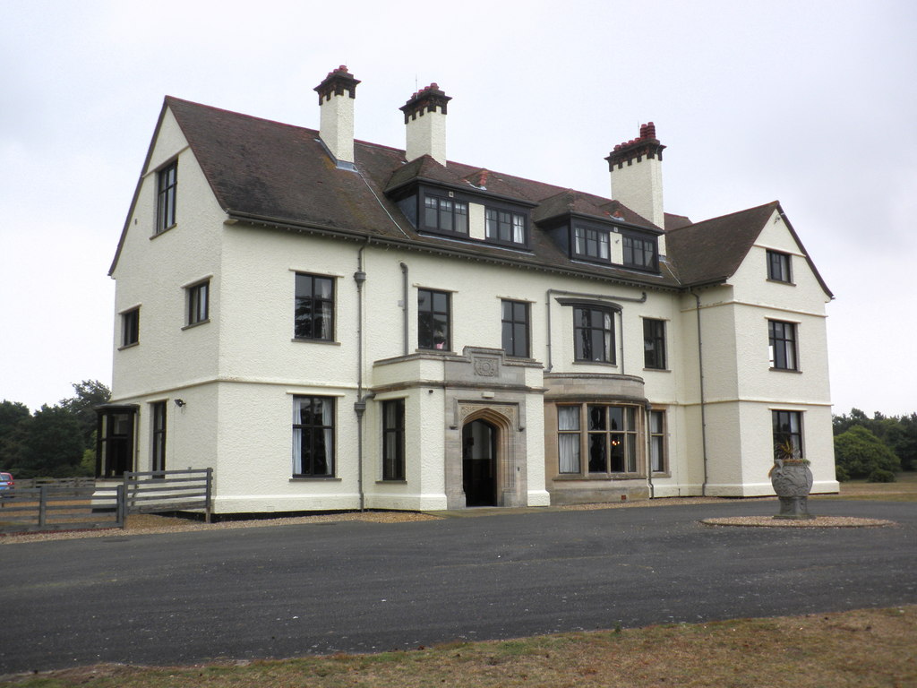
Tranmer House
Tranmer House is a country house in Sutton Hoo, Woodbridge, Suffolk, England, dating from 1910. The house is located on the Sutton Hoo Anglo-Saxon burial...

Ferry Cliff, Sutton
Ferry Cliff, Sutton is a 2.8-hectare (6.9-acre) geological Site of Special Scientific Interest Suffolk. It is a Geological Conservation Review site, and...
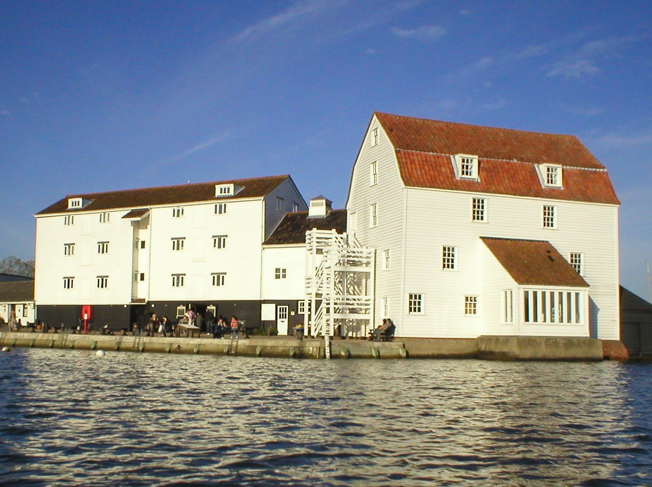
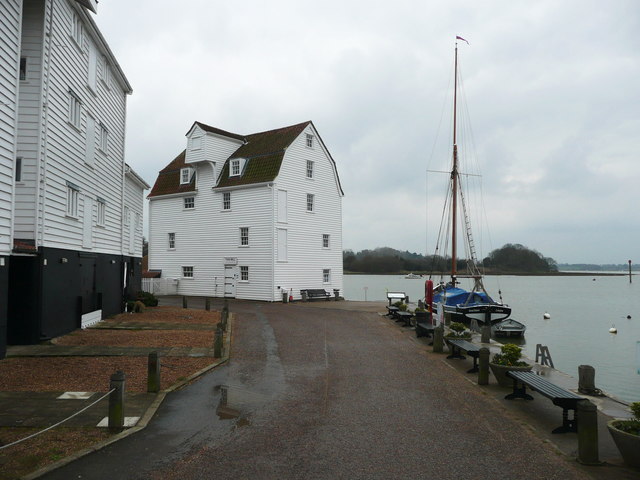
Woodbridge Tide Mill
Woodbridge Tide Mill in Woodbridge, Suffolk, England is a rare example of a tide mill whose water wheel still turns and is capable of grinding a wholemeal...
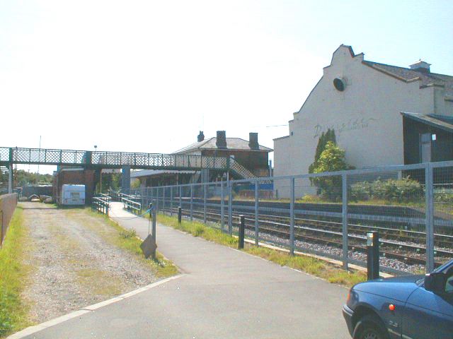
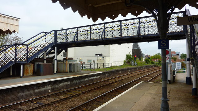
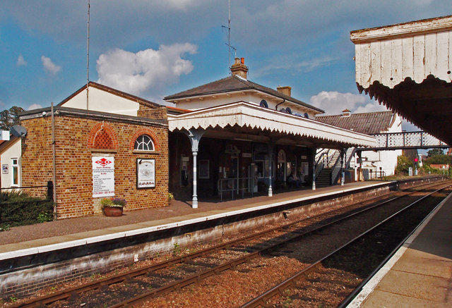
Woodbridge railway station
Woodbridge railway station is on the East Suffolk Line in the east of England, serving the town of Woodbridge, Suffolk. It is 10 miles 19 chains (16.5...

Sutton Hoo Helmet (sculpture)
Sutton Hoo Helmet is a 2002 sculpture by the English artist Rick Kirby. A representation of the Anglo-Saxon helmet by the same name found in the Sutton...
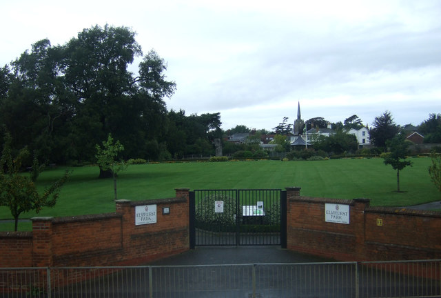
Woodbridge, Suffolk
Woodbridge is a port town and civil parish in the East Suffolk district of Suffolk, England. It is 8 miles (13 km) up the River Deben from the sea. It...
Related Videos

Country Walking: Fynn Valley Walk. 15/9/22
A very decent 10 mile walk from Country Walking magazine, but also from a collection created by East Suffolk Line Walks.

Twee Gebroeders dog friendly luxury holiday barge in Suffolk
More information - https://woodfarmbarges.com/dog-friendly-holiday-barges/twee-gebroeders/ Or 'Two Brothers' in English, is a ...

Walking Along The River of the Anglian Kings // From Woodbridge to Sutton Hoo
In August 2020 after months in my garden glued to editing software I escaped and went on a journey to Sutton Hoo. Thought I'd ...

Woodbridge Pub Walk
A short 3 mile walk along the River Deben in Woodbridge, Suffolk, taking in a river bank walk through woodland, and to the Cherry ...
Nearby Amenities
Located within 500m of 52.082889,1.3337073Have you been to Arundel Belt?
Leave your review of Arundel Belt below (or comments, questions and feedback).