Broomfield Wood
Wood, Forest in Kent Dover
England
Broomfield Wood
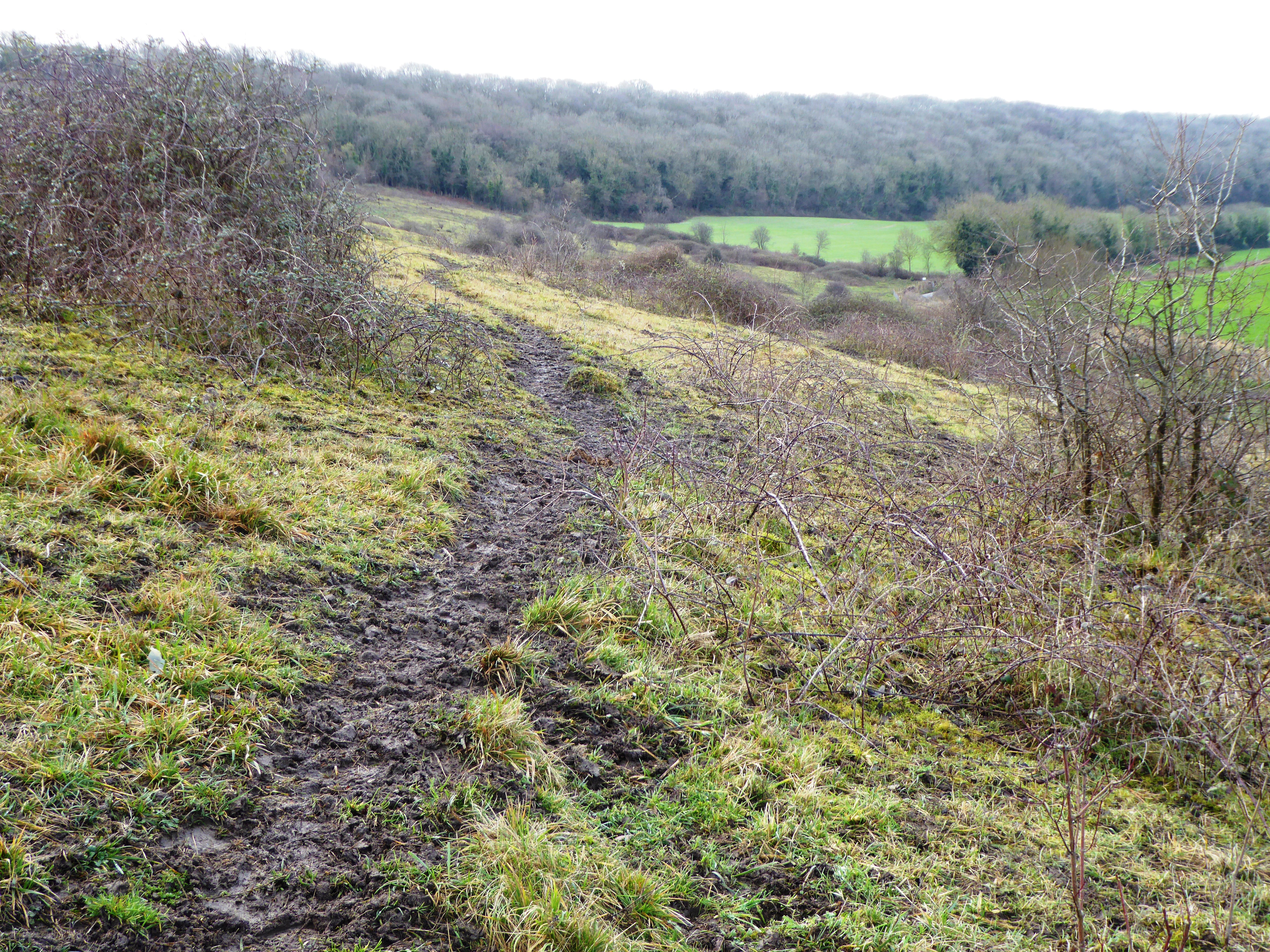
Broomfield Wood is a picturesque woodland located in the county of Kent in southeastern England. Covering an area of approximately 40 hectares, it is nestled within the larger Broomfield Forest, which spans across 175 hectares. The wood is situated near the village of Broomfield, just a few miles east of the town of Herne Bay.
The wood is primarily composed of broadleaf trees, with a diverse range of species including oak, beech, ash, and birch. These trees create a dense canopy, providing shade and a rich habitat for numerous flora and fauna. Bluebells carpet the forest floor in spring, creating a stunning display of vibrant colors.
Broomfield Wood is a popular destination for nature lovers, hikers, and bird-watchers. It offers several walking trails, allowing visitors to explore its natural beauty. The wood is home to a variety of bird species, including woodpeckers, thrushes, and warblers, making it an ideal spot for bird-watching enthusiasts.
In addition to its natural charm, Broomfield Wood holds historical significance. It was once part of the Broomfield Estate, owned by the Marquis of Northampton. The wood has witnessed centuries of human activity, and remnants of old boundary walls and ditches can still be seen today, serving as a reminder of its past.
Broomfield Wood is a tranquil sanctuary, offering visitors a peaceful retreat from the hustle and bustle of modern life. Whether it's exploring the winding trails, admiring the vibrant flora, or simply enjoying the sounds of nature, this woodland provides an immersive experience in the heart of Kent's countryside.
If you have any feedback on the listing, please let us know in the comments section below.
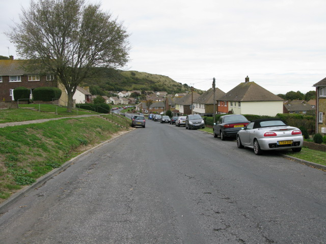
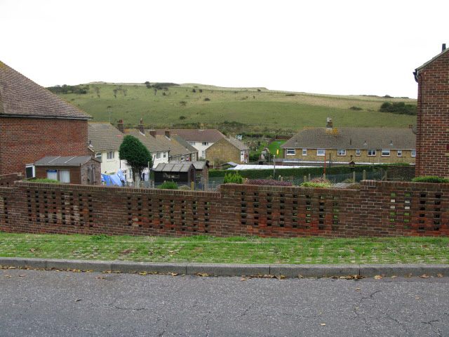
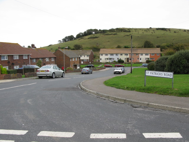
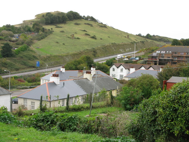
Broomfield Wood Images
Images are sourced within 2km of 51.115327/1.2633799 or Grid Reference TR2840. Thanks to Geograph Open Source API. All images are credited.


Broomfield Wood is located at Grid Ref: TR2840 (Lat: 51.115327, Lng: 1.2633799)
Administrative County: Kent
District: Dover
Police Authority: Kent
What 3 Words
///received.something.wordplay. Near Dover, Kent
Nearby Locations
Related Wikis

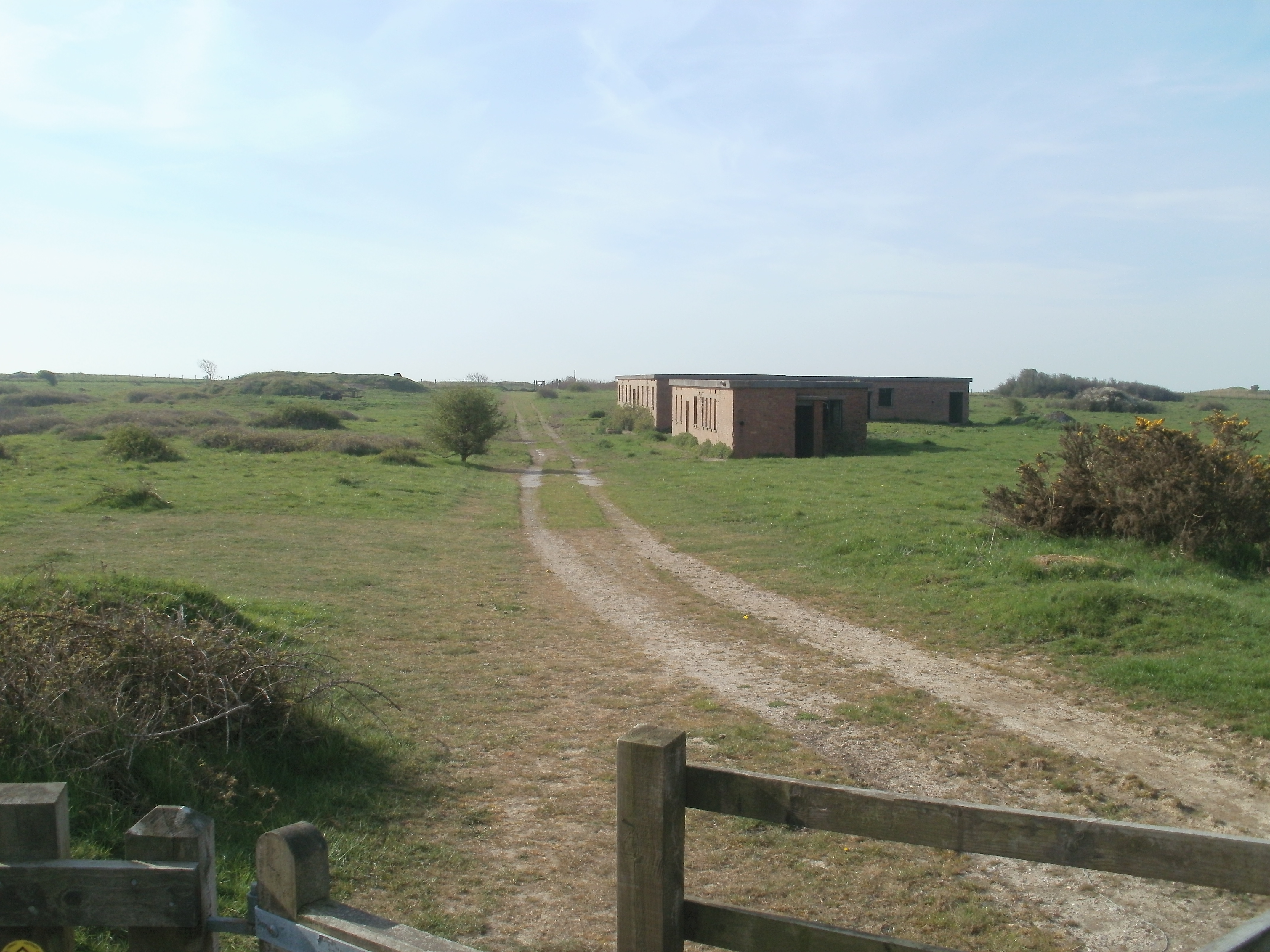
Hougham Battery
Hougham Battery is a World War II coastal defence battery built in 1941 between Dover and Folkestone in southeast England. It is on the cliff-edge between...
Farthingloe
Farthingloe is a village west of Dover in southeast England. == External links == Media related to Farthingloe at Wikimedia Commons

Dover transmitting station
The Dover transmitting station is a facility for broadcasting and telecommunications, located at West Hougham, near Dover, Kent (grid reference TR274397...
Lydden Spout Battery
Lydden Spout Battery is a World War II coastal defence battery built in 1941 west of Dover. Originally armed with three 6-inch Mark VII naval guns on Mark...

Samphire Hoe
Samphire Hoe is a country park situated 2 miles (3 km) west of Dover in Kent in southeast England. The park was created by using 4.9 million cubic metres...

Shakespeare Cliff Halt railway station
Shakespeare Cliff Halt is a private halt station on the South Eastern Main Line. It is located to the western end of the dual-bore Shakespeare Cliff tunnel...

Whinless Down
Whinless Down is a 19.3-hectare (48-acre) Local Nature Reserve on the western outskirts of Dover, Kent. It is owned by Dover Town Council and managed...
Nemo Down
Nemo Down is a 21-hectare (50-acre) nature reserve on the western outskirts of Dover in Kent. It was shown as owned and managed by the Kent Wildlife...
Nearby Amenities
Located within 500m of 51.115327,1.2633799Have you been to Broomfield Wood?
Leave your review of Broomfield Wood below (or comments, questions and feedback).