Martins Wood

Wood, Forest in Kent Dover

England

Martins Wood

Shakespeare Cliff
Shakespeare Cliff Credit: N Chadwick

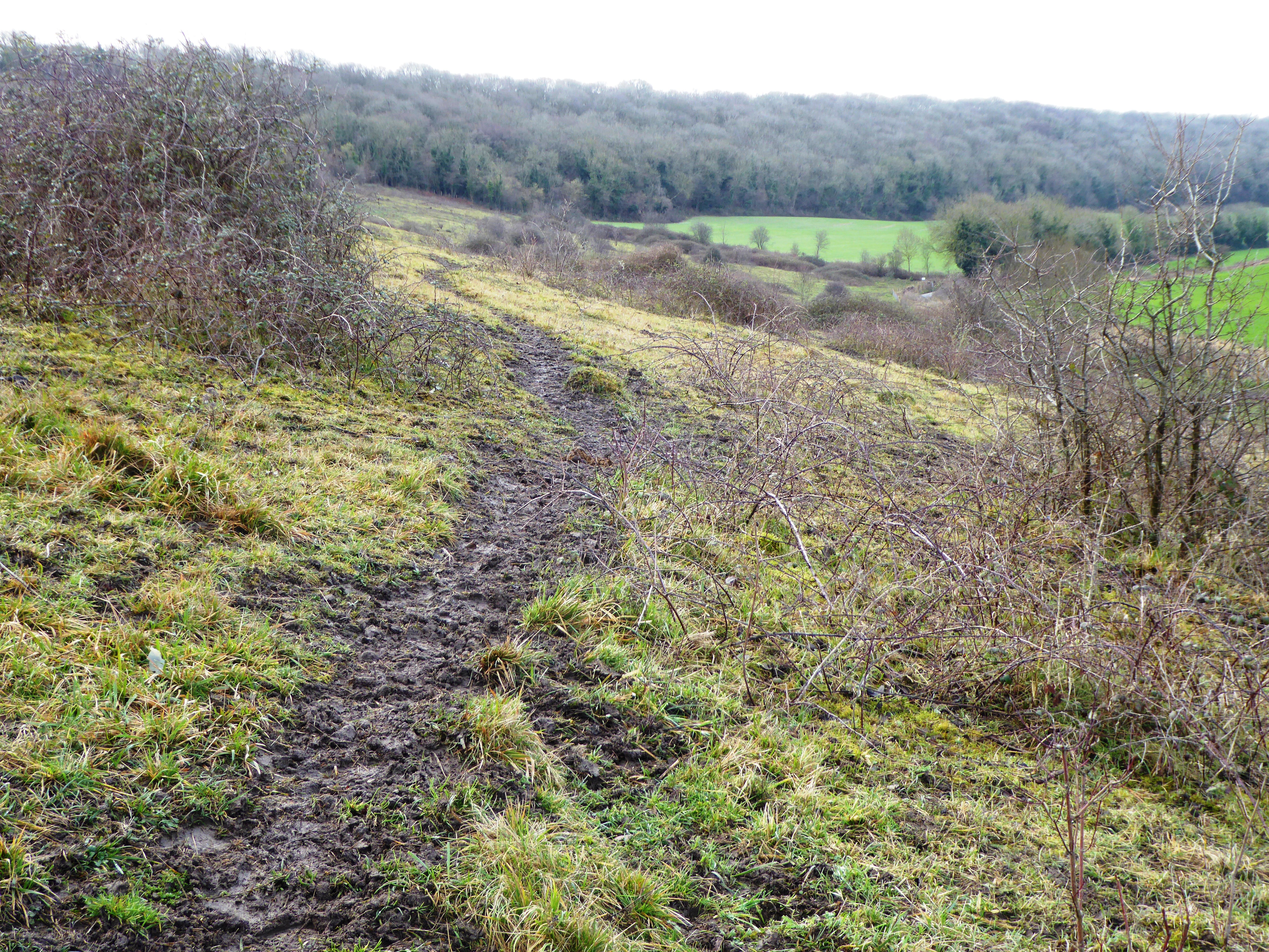
Martins Wood, located in Kent, England, is a picturesque woodland area known for its natural beauty and diverse range of flora and fauna. Covering an area of approximately 50 acres, this tranquil forest is a haven for nature lovers and outdoor enthusiasts alike.

The wood is predominantly made up of native British tree species such as oak, beech, and birch, creating a rich and vibrant ecosystem. The dense canopy of these tall trees provides shade and shelter, while the forest floor is carpeted with a variety of wildflowers, ferns, and mosses, adding to its enchanting appeal.

Martins Wood is also home to a diverse range of wildlife, including numerous bird species such as woodpeckers, owls, and thrushes. The forest is particularly known for its population of deer, which can often be spotted grazing amidst the trees. Other animals that inhabit the area include foxes, rabbits, and squirrels.

The wood offers a network of well-maintained trails and footpaths, making it an ideal destination for walking, hiking, and exploring. Visitors can immerse themselves in the natural surroundings, taking in the sights, sounds, and scents of this ancient woodland.

Martins Wood is a popular destination for both local residents and tourists seeking respite from the hustle and bustle of daily life. Its tranquil ambiance and unspoiled beauty make it an idyllic spot for nature photography, picnicking, or simply enjoying a peaceful walk in the midst of nature.

If you have any feedback on the listing, please let us know in the comments section below.
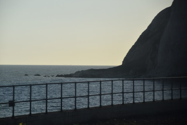
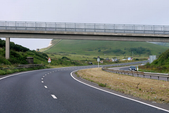
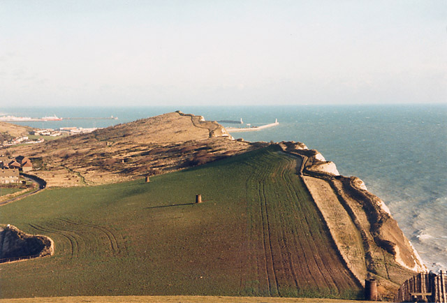
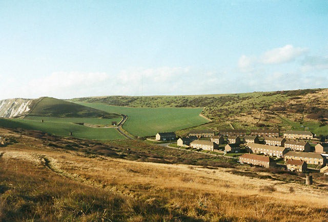
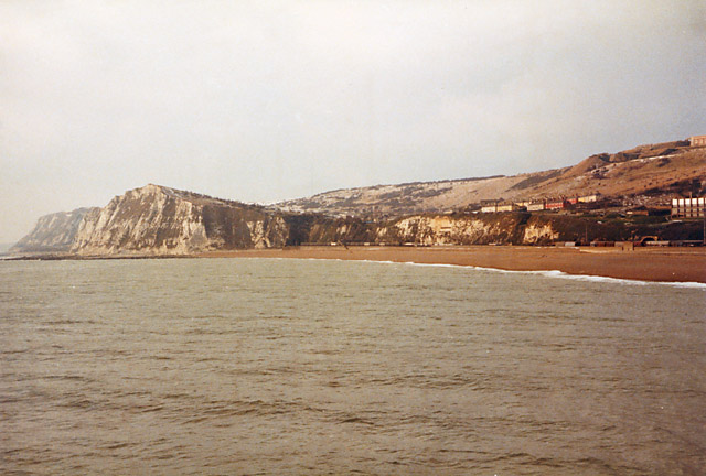
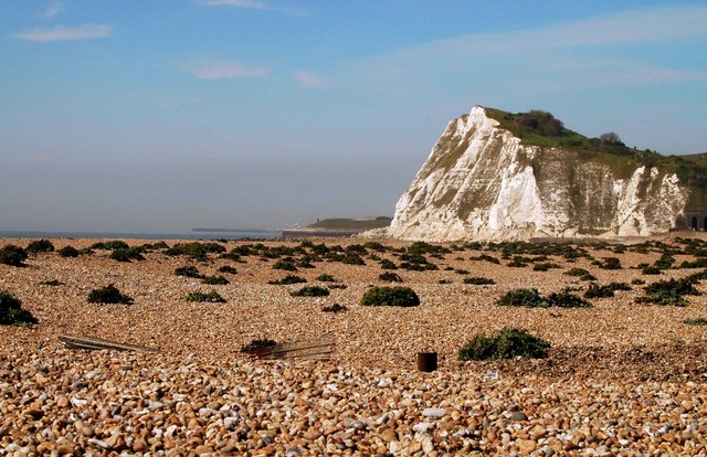
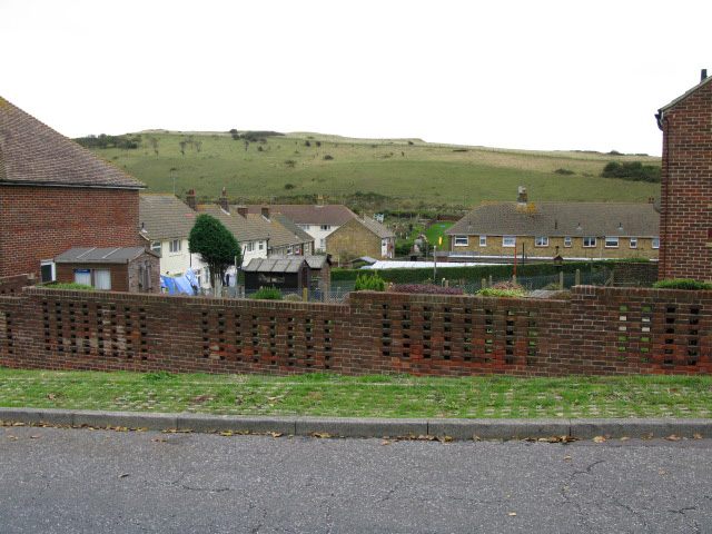
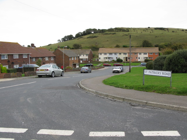
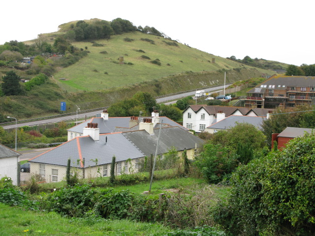
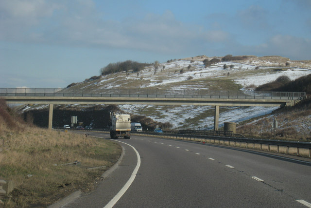
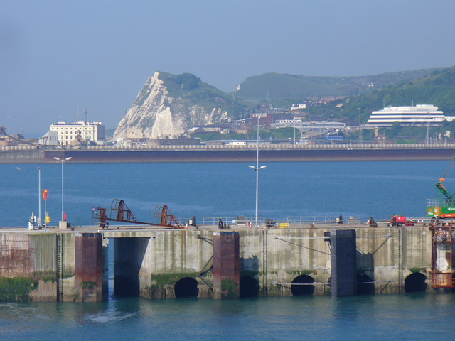
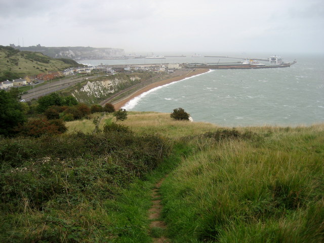
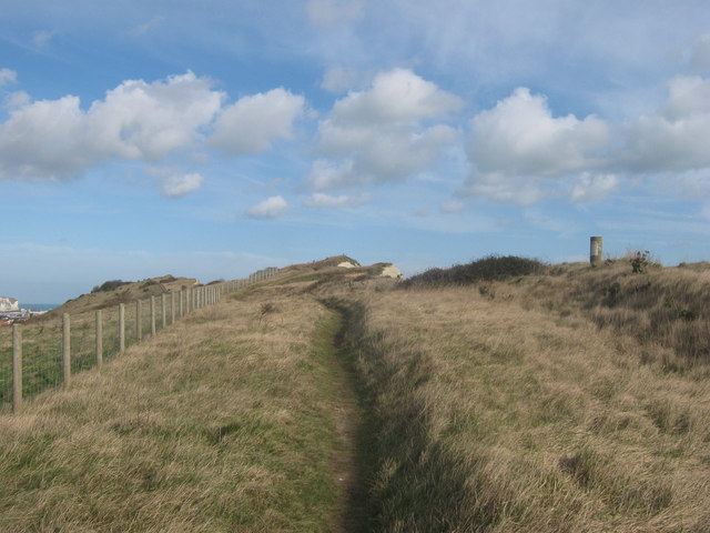
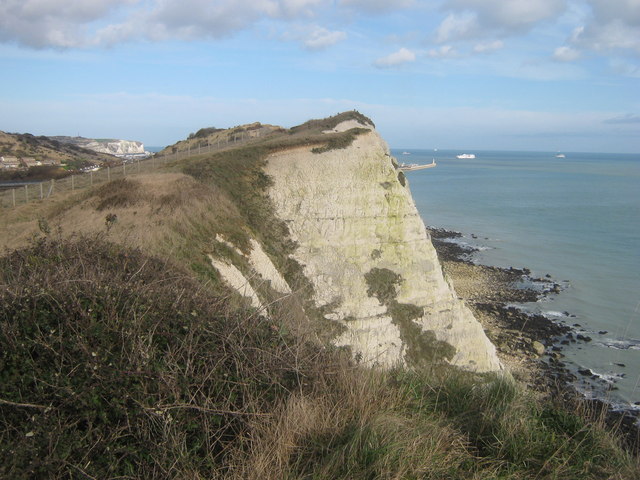
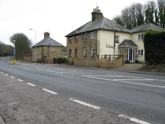
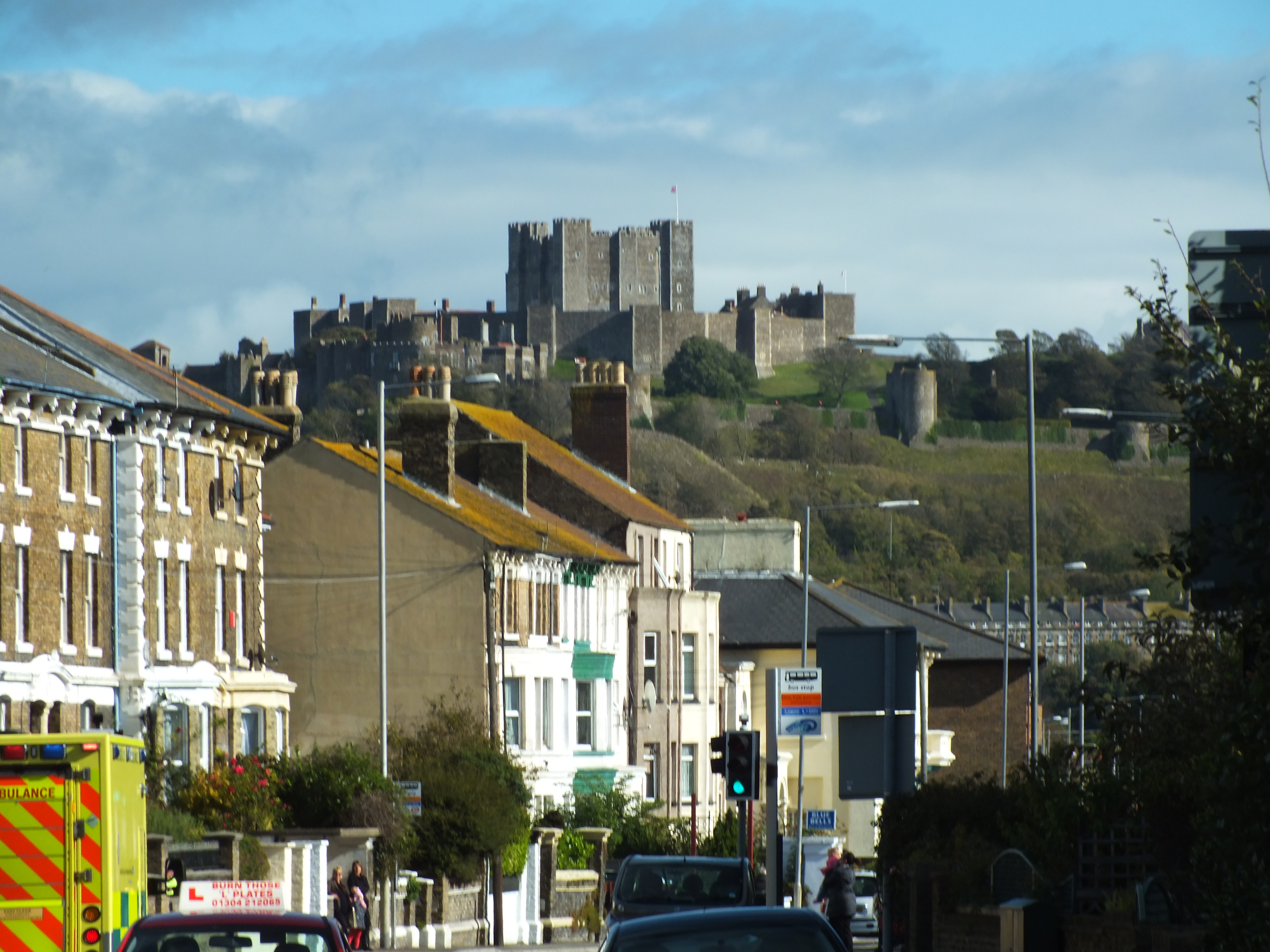
Martins Wood Images

Images are sourced within 2km of 51.117426/1.2706738 or Grid Reference TR2840. Thanks to Geograph Open Source API. All images are credited.

Shakespeare Cliff
Shakespeare Cliff
Footbridge over the A20 near Shakespeare Cliff The A20 runs from the London Borough of Lewisham to Dover, Kent. It runs through the major towns of Maidstone, Ashford and Folkestone, terminating at the port of Dover.
Footbridge over the A20 near Shakespeare Cliff
The A20 runs from the London Borough of Lewisham to Dover, Kent. It runs through the major towns of Maidstone, Ashford and Folkestone, terminating at the port of Dover.
In the Channel Tunnel A typical view of a Eurotunnel Shuttle heading for France.
In the Channel Tunnel
A typical view of a Eurotunnel Shuttle heading for France.
Cliff top showing Shakespeare Railway Tunnel, Dover Looking along the course of the railway tunnel from Long Down towards the port of Dover. The six "chimneys" are the tops of air vents for the tunnel. The cliff top path is part of the North Downs and Saxon Shore Ways.
Cliff top showing Shakespeare Railway Tunnel, Dover
Looking along the course of the railway tunnel from Long Down towards the port of Dover. The six "chimneys" are the tops of air vents for the tunnel. The cliff top path is part of the North Downs and Saxon Shore Ways.
Aycliff, Dover This is the western edge of Dover, before the A20 was made into a dual carriageway and rerouted through here. There was just a single-track road through an unspoilt valley running parallel to the coastline. In the middle left of the green field is the entrance to a tunnel, dug in 1973 for channel tunnel works then, and providing vehicular access to the railway depot at the foot of Shakespeare Cliff. This access was later used in the 1980s for building the Channel Tunnel, see <a href="https://www.geograph.org.uk/photo/1632798">TR2939 : Channel Tunnel construction depot</a>.
Aycliff, Dover
This is the western edge of Dover, before the A20 was made into a dual carriageway and rerouted through here. There was just a single-track road through an unspoilt valley running parallel to the coastline. In the middle left of the green field is the entrance to a tunnel, dug in 1973 for channel tunnel works then, and providing vehicular access to the railway depot at the foot of Shakespeare Cliff. This access was later used in the 1980s for building the Channel Tunnel, see TR2939 : Channel Tunnel construction depot.
Shakespeare cliff and Aycliff, Dover Before the A20 was rerouted here. Seen from Admiralty Pier.
Shakespeare cliff and Aycliff, Dover
Before the A20 was rerouted here. Seen from Admiralty Pier.
Shakespeare Cliff, Dover Shakespeare Cliff is described in King Lear, Act1V, Scene 1 and the assonance of Matthew Arnold's poem "Dover Beach" can be felt at this spot.
Shakespeare Cliff, Dover
Shakespeare Cliff is described in King Lear, Act1V, Scene 1 and the assonance of Matthew Arnold's poem "Dover Beach" can be felt at this spot.
St David's Avenue - view east Including a 1966 Morris Minor van!
St David's Avenue - view east
Including a 1966 Morris Minor van!
View NE along St David's Avenue
View seaward from St David's Avenue The A20 runs through the gap between the houses and the cliff.
View seaward from St David's Avenue
The A20 runs through the gap between the houses and the cliff.
St Patrick's Road off St David's Avenue
Shakespeare Cliff and the A20 from St David's Avenue
Footbridge over A20 Shakespeare Cliff to the rear.
Footbridge over A20
Shakespeare Cliff to the rear.
Shakespeare Cliff, Dover Seen from a ferry in Dover's Eastern Docks. Through the base of the chalk cliff is a tunnel carrying the Dover-Folkestone railway line. Farther below the same cliff is the Channel Tunnel connecting Folkestone (Cheriton) with Calais (Coquelles).
Shakespeare Cliff, Dover
Seen from a ferry in Dover's Eastern Docks. Through the base of the chalk cliff is a tunnel carrying the Dover-Folkestone railway line. Farther below the same cliff is the Channel Tunnel connecting Folkestone (Cheriton) with Calais (Coquelles).
Descending over Shakespeare Cliff Following the North Downs Way towards Dover.
Descending over Shakespeare Cliff
Following the North Downs Way towards Dover.
North Downs Way beside a trig point on Shakespeare Cliff The long distance path leads along a cliff top path towards Dover.
North Downs Way beside a trig point on Shakespeare Cliff
The long distance path leads along a cliff top path towards Dover.
Shakespeare Cliff As seen from the trig point on the cliffs. See <a href="https://www.geograph.org.uk/photo/2290599">TR3039 : North Downs Way beside a trig point on Shakespeare Cliff</a>.
The port of Dover is just around the corner and ferries from France carry many lorries and passengers to Britain.
Shakespeare Cliff
As seen from the trig point on the cliffs. See TR3039 : North Downs Way beside a trig point on Shakespeare Cliff. The port of Dover is just around the corner and ferries from France carry many lorries and passengers to Britain.
The North Downs Way on Shakespeare Cliff The long distance path leads from Dover (via a cliff top path) towards Round Down and onwards to Capel-le-Ferne. In the background is Samphire Hoe Country Park (on reclaimed land).
The North Downs Way on Shakespeare Cliff
The long distance path leads from Dover (via a cliff top path) towards Round Down and onwards to Capel-le-Ferne. In the background is Samphire Hoe Country Park (on reclaimed land).
Show me another place!

Martins Wood is located at Grid Ref: TR2840 (Lat: 51.117426, Lng: 1.2706738)

Administrative County: Kent

District: Dover

Police Authority: Kent

What 3 Words

///stint.messy.cubic. Near Dover, Kent

Related Wikis

Farthingloe

Farthingloe is a village west of Dover in southeast England. == External links == Media related to Farthingloe at Wikimedia Commons

Hougham Battery

Hougham Battery is a World War II coastal defence battery built in 1941 between Dover and Folkestone in southeast England. It is on the cliff-edge between...

Shakespeare Cliff Halt railway station

Shakespeare Cliff Halt is a private halt station on the South Eastern Main Line. It is located to the western end of the dual-bore Shakespeare Cliff tunnel...

Whinless Down

Whinless Down is a 19.3-hectare (48-acre) Local Nature Reserve on the western outskirts of Dover, Kent. It is owned by Dover Town Council and managed...

Maxton, Kent

Maxton is an area in the west of Dover, in the county of Kent, England. Maxton also served as the terminus of the tramway system serving the town until...

Samphire Hoe

Samphire Hoe is a country park situated 2 miles (3 km) west of Dover in Kent in southeast England. The park was created by using 4.9 million cubic metres...

Nemo Down

Nemo Down is a 21-hectare (50-acre) nature reserve on the western outskirts of Dover in Kent. It was shown as owned and managed by the Kent Wildlife...

Astor Secondary School

Astor Secondary School is an 11–18 mixed, secondary school and sixth form with academy status in Dover, Kent, England. It was established in 1948 and is...

Nearby Amenities

Located within 500m of 51.117426,1.2706738
Bus Stop
Farthingloe Farm
Naptan AtcoCode: 2400A030530A
Naptan Bearing: NE
Naptan CommonName: Farthingloe Farm
Naptan Indicator: adj
Naptan Landmark: Farthingloe Farm
Naptan NaptanCode: kntdjapg
Naptan PlusbusZoneRef: DOVERP
Naptan Street: Folkestone Road
Naptan Verified: no
Source: naptan_import
Lat/Long: 51.1173002/1.2774666
Barrier: stile
Lat/Long: 51.1160078/1.2726823
Generator Output Electricity: yes
Generator Source: solar
Generator Type: solar_photovoltaic_panel
Location: roof
Power: generator
Lat/Long: 51.1167427/1.2753502
Generator Output Electricity: yes
Generator Source: solar
Generator Type: solar_photovoltaic_panel
Location: roof
Power: generator
Lat/Long: 51.1167183/1.2754145
Traffic Calming: island
Lat/Long: 51.1150504/1.2713301
The data included in this document is from www.openstreetmap.org. The data is made available under ODbL.

Have you been to Martins Wood?

Leave your review of Martins Wood below (or comments, questions and feedback).