Hills and Holes Plantation
Wood, Forest in Norfolk Broadland
England
Hills and Holes Plantation

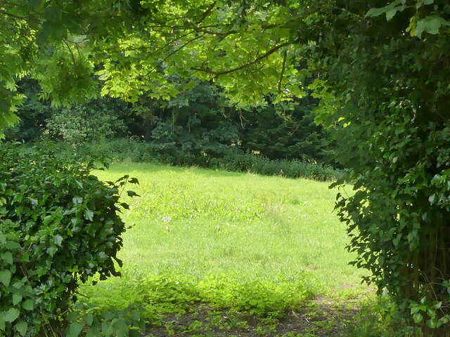
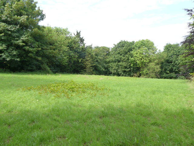
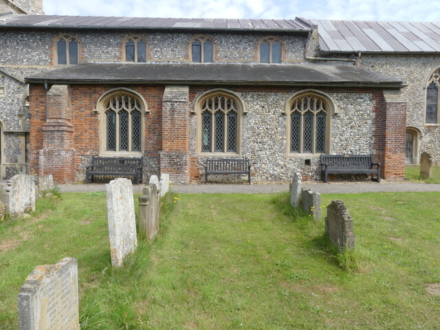
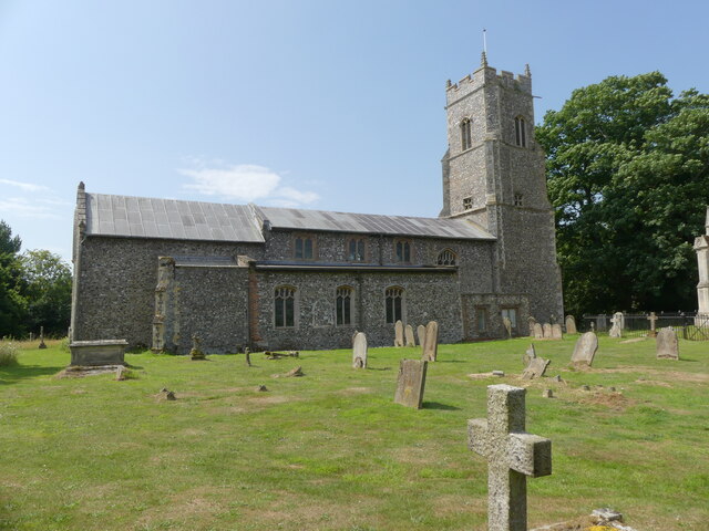
Hills and Holes Plantation is a picturesque woodland area located in Norfolk, England. It covers an expansive area of lush greenery, spanning over acres of land. The plantation is predominantly known for its rolling hills and deep hollows, which create a unique and captivating landscape.
The woodland is home to a diverse range of plant species, including a variety of trees such as oak, beech, and birch. These trees provide a dense canopy, offering shade and shelter to various wildlife species that inhabit the area. Additionally, the plantation is blanketed with an array of vibrant wildflowers during the spring and summer months, creating a colorful and enchanting scene.
The undulating terrain of Hills and Holes Plantation offers visitors an opportunity to explore its natural beauty through a network of well-maintained walking paths. These paths wind through the woodland, providing access to stunning viewpoints and secluded areas. The plantation also features picnic spots, allowing visitors to relax and enjoy the peaceful surroundings.
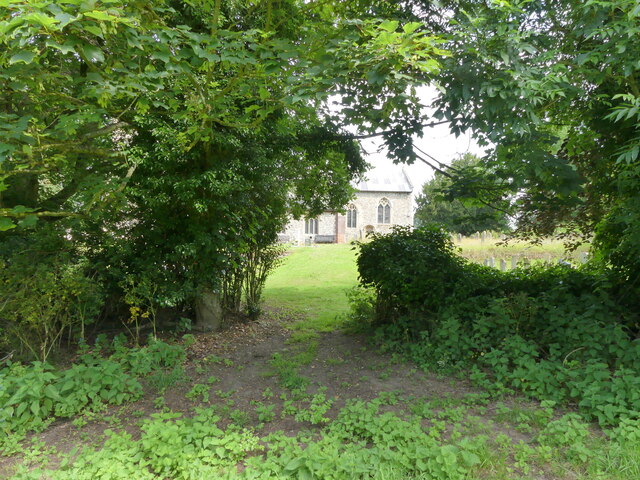
Hills and Holes Plantation is not only a haven for nature enthusiasts but also a site of historical significance. It is believed to have been used as a hunting ground by the local nobility in the past. As such, the area is dotted with remnants of old structures and pathways, adding to its allure.
Overall, Hills and Holes Plantation in Norfolk is a captivating woodland that offers visitors a chance to immerse themselves in nature's beauty. With its rolling hills, diverse flora, and historical charm, it is a must-visit destination for those seeking tranquility and a connection with the natural world.
If you have any feedback on the listing, please let us know in the comments section below.
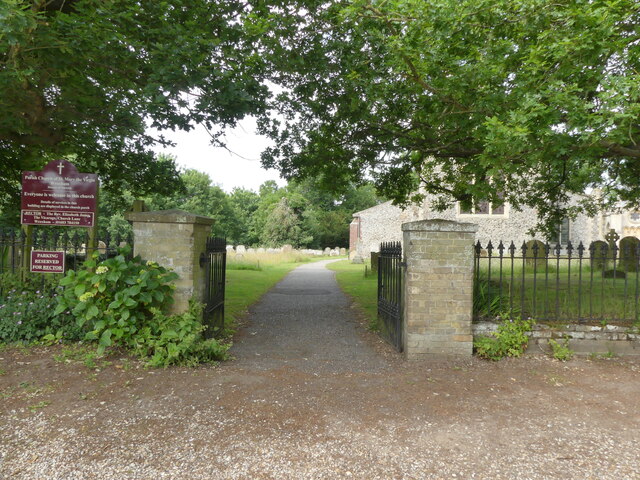
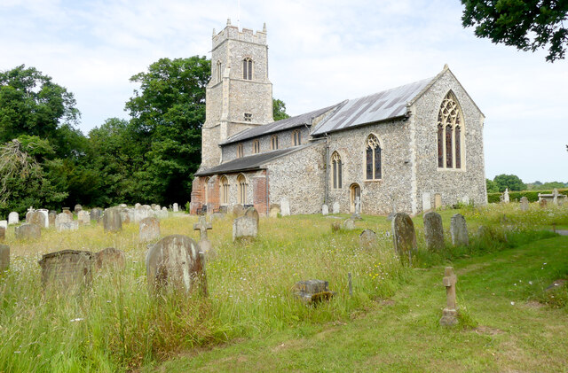
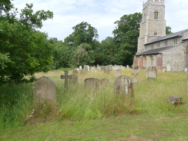
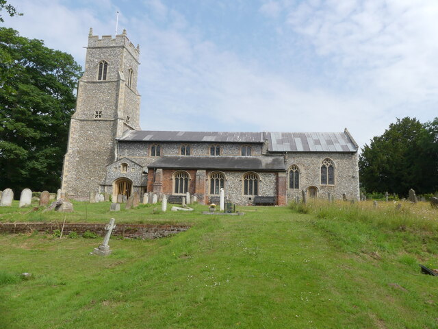
Hills and Holes Plantation Images
Images are sourced within 2km of 52.699488/1.3876449 or Grid Reference TG2816. Thanks to Geograph Open Source API. All images are credited.
Hills and Holes Plantation is located at Grid Ref: TG2816 (Lat: 52.699488, Lng: 1.3876449)
Administrative County: Norfolk
District: Broadland
Police Authority: Norfolk
What 3 Words
///adverbs.loopholes.goodness. Near Hoveton, Norfolk
Nearby Locations
Related Wikis

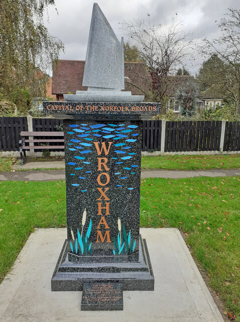
Wroxham F.C.
Wroxham Football Club is a football club based in Wroxham, Norfolk, England. They are currently members of the Isthmian League North Division and play...

River Hor
The River Hor is a short river in the county of Norfolk, England. It runs 13.3 kilometres (8.3 mi) east from its source near Felthorpe to its confluence...

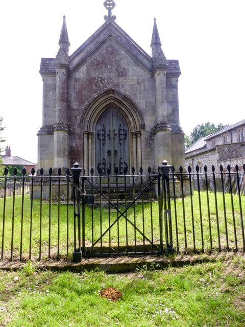
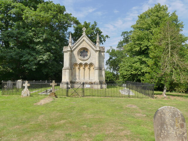
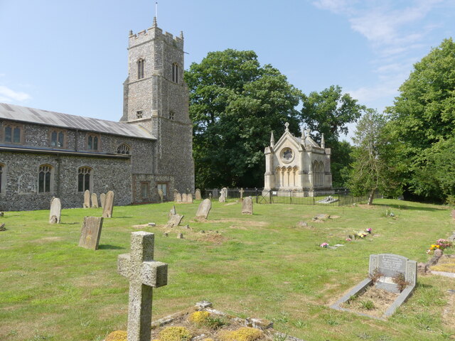
Trafford Mausoleum, Wroxham
The Trafford Mausoleum, is a memorial in Wroxham, Norfolk, England. Commissioned after the death of Sigismund Trafford Southwell in 1827, the mausoleum...
Milestones Hospital
Milestones Hospital [ˈmaɪlstəʊnz ˈhɒspɪtl] is a 10-bed mental hospital for women at Salhouse, Norfolk. Milestones is owned by the Atarrah Project Ltd....
Nearby Amenities
Located within 500m of 52.699488,1.3876449Have you been to Hills and Holes Plantation?
Leave your review of Hills and Holes Plantation below (or comments, questions and feedback).