Beech Clump
Wood, Forest in Norfolk Broadland
England
Beech Clump
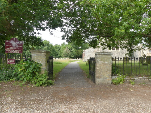
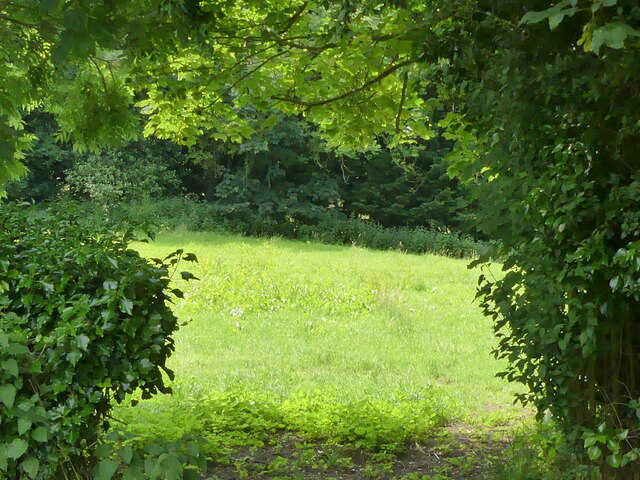
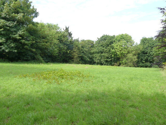
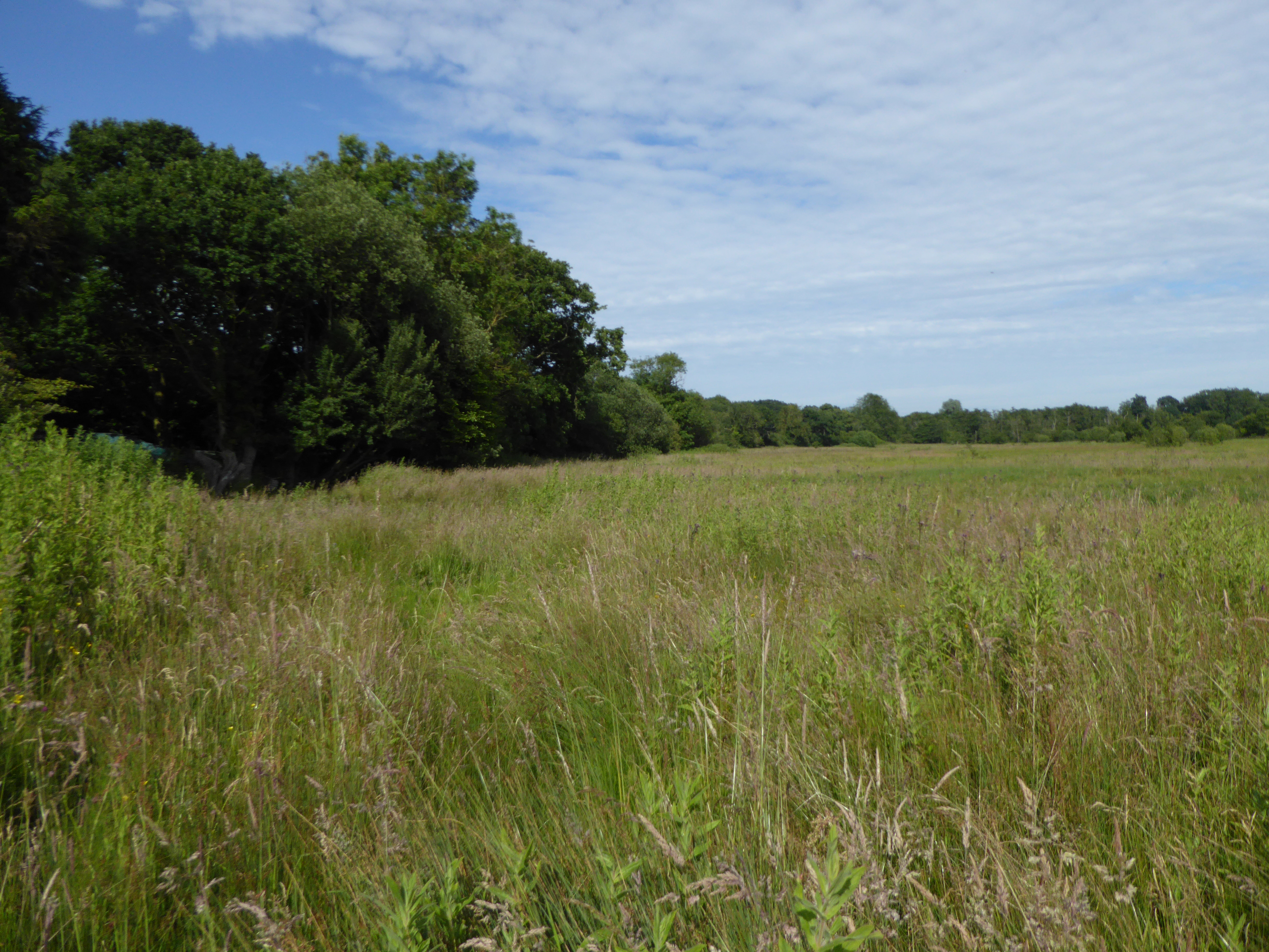
Beech Clump is a picturesque woodland located in Norfolk, England. Situated on the outskirts of a small village, it covers an area of approximately 10 acres, making it a relatively small forest compared to others in the region. The woodland is predominantly composed of beech trees, hence its name, which provide a dense canopy that creates a cool and shaded environment during the summer months.
The forest floor of Beech Clump is covered with a thick layer of fallen leaves, creating a soft and quiet path for visitors to explore. The beech trees tower above, reaching heights of up to 30 meters, and their branches intertwine to form a dense canopy that allows only dappled sunlight to filter through. This creates a tranquil and ethereal atmosphere, where the sounds of chirping birds and rustling leaves are the dominant soundtrack.
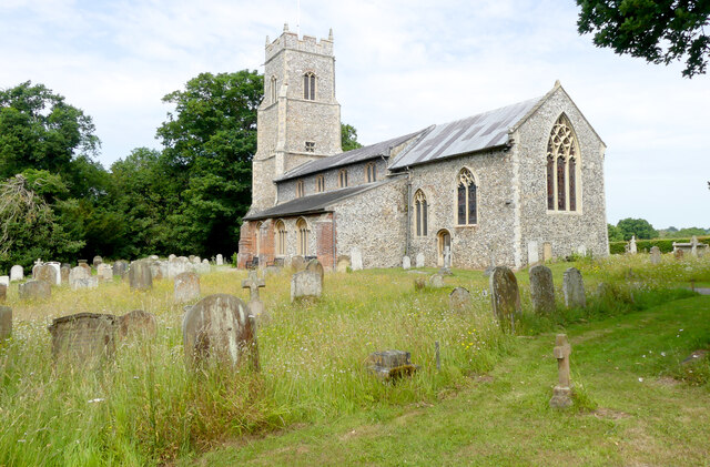
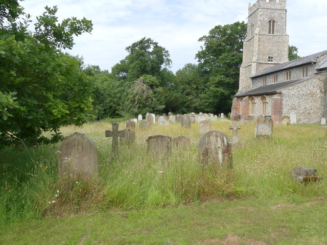
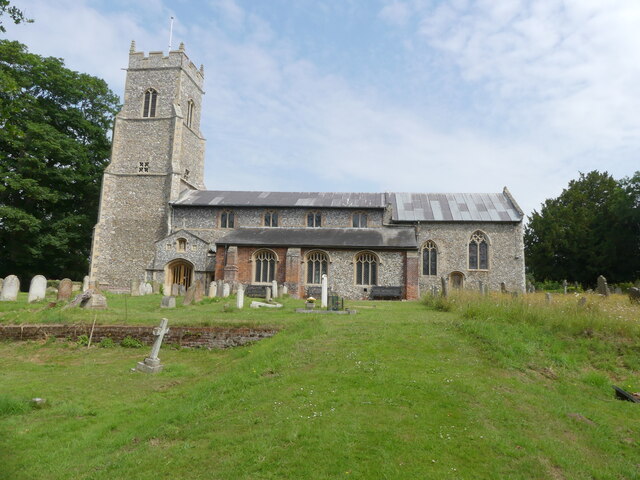
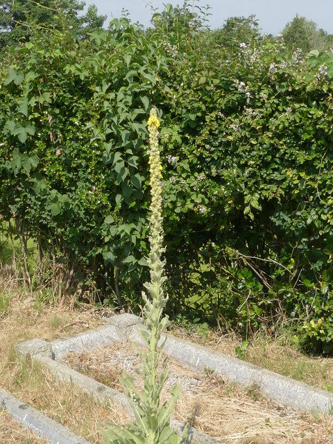
Beech Clump is home to a variety of wildlife, including squirrels, rabbits, and a diverse array of bird species. The forest also boasts a rich diversity of plant life, with wildflowers and mosses scattered throughout the forest floor, adding vibrant pops of color to the predominantly green landscape.
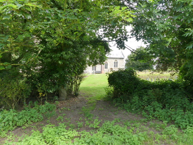
The woodland is a popular destination for nature enthusiasts, hikers, and photographers, who visit to immerse themselves in its serene ambiance and capture the beauty of the natural surroundings. Beech Clump is a true gem in Norfolk, offering a tranquil escape from the hustle and bustle of everyday life.
If you have any feedback on the listing, please let us know in the comments section below.
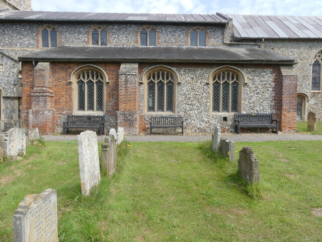
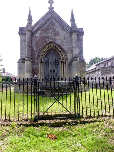
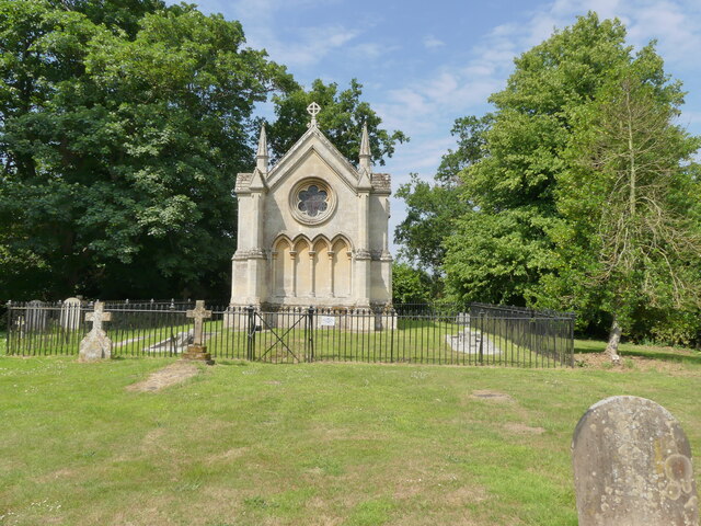
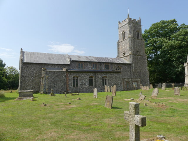
Beech Clump Images
Images are sourced within 2km of 52.698421/1.3793458 or Grid Reference TG2816. Thanks to Geograph Open Source API. All images are credited.
Beech Clump is located at Grid Ref: TG2816 (Lat: 52.698421, Lng: 1.3793458)
Administrative County: Norfolk
District: Broadland
Police Authority: Norfolk
What 3 Words
///lousy.forced.radiating. Near Hoveton, Norfolk
Related Wikis

River Hor
The River Hor is a short river in the county of Norfolk, England. It runs 13.3 kilometres (8.3 mi) east from its source near Felthorpe to its confluence...

Wroxham F.C.
Wroxham Football Club is a football club based in Wroxham, Norfolk, England. They are currently members of the Isthmian League North Division and play...

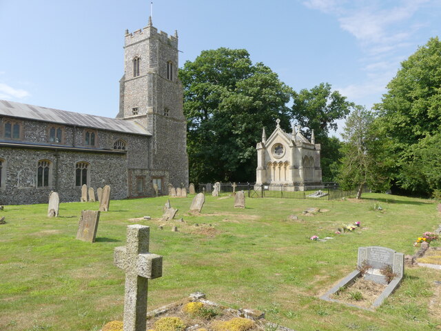
Trafford Mausoleum, Wroxham
The Trafford Mausoleum, is a memorial in Wroxham, Norfolk, England. Commissioned after the death of Sigismund Trafford Southwell in 1827, the mausoleum...
Milestones Hospital
Milestones Hospital [ˈmaɪlstəʊnz ˈhɒspɪtl] is a 10-bed mental hospital for women at Catfield, Norfolk. Milestones is owned by the Atarrah Project Ltd....

Belaugh
Belaugh is a small village (population 105) increasing to 134 at the 2011 Census, that occupies a bend in the River Bure in Norfolk, England - within The...
Crostwick Marsh
Crostwick Marsh is an 11.6-hectare (29-acre) biological Site of Special Scientific Interest in Crostwick, north of Norwich in Norfolk. It is part of the...
Barton House Railway
The Barton House Railway (BHR) is a miniature railway in Wroxham, Norfolk; it is open on the third Sunday of each month from April until October, plus...

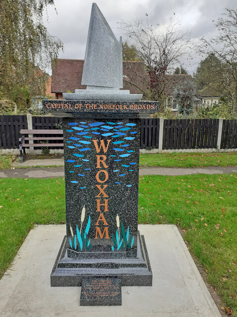
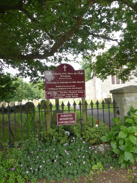
Wroxham
Wroxham is a village and civil parish in the English county of Norfolk. The civil parish of Wroxham has an area of 6.21 square kilometres, and in 2001...
Nearby Amenities
Located within 500m of 52.698421,1.3793458Have you been to Beech Clump?
Leave your review of Beech Clump below (or comments, questions and feedback).