Tink's Wood
Wood, Forest in Suffolk Mid Suffolk
England
Tink's Wood

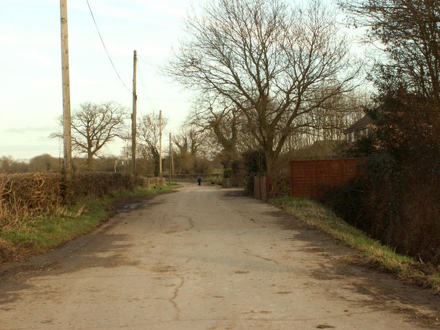
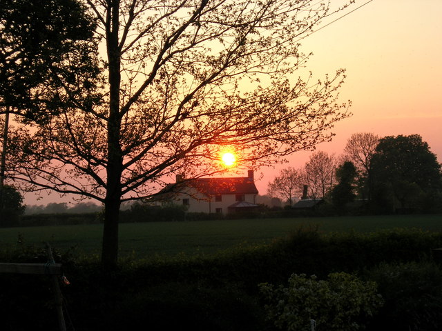
Tink's Wood, located in Suffolk, England, is a small yet enchanting woodland that offers a serene and peaceful escape from the bustling city life. With its lush greenery, towering trees, and diverse range of flora and fauna, this forest is a haven for nature lovers and outdoor enthusiasts.
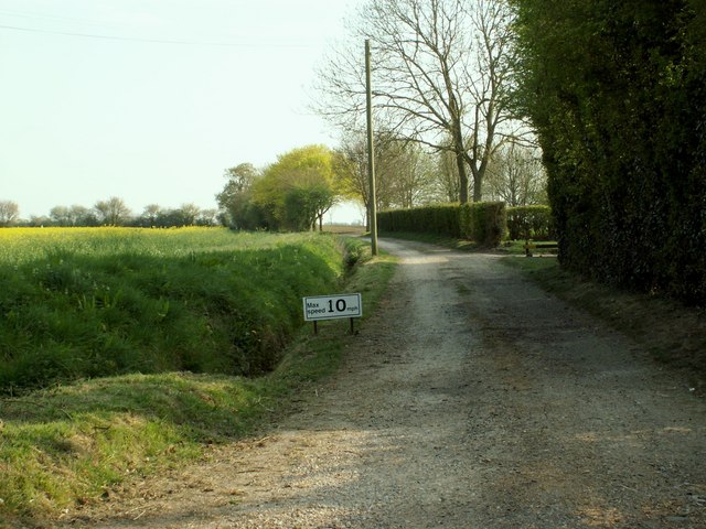
Spread across an area of approximately 10 acres, Tink's Wood boasts a mix of deciduous and evergreen trees, including oak, beech, and pine. The dense canopy provides a cool and shaded environment, making it an ideal destination for a leisurely stroll or a picnic with family and friends.
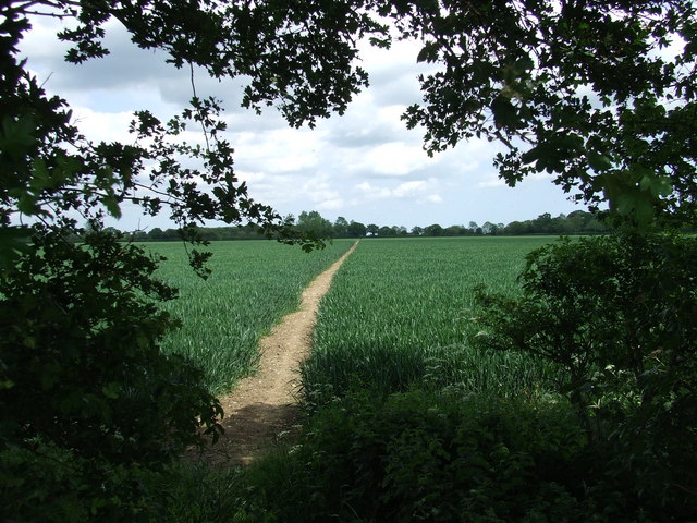
One of the notable features of Tink's Wood is its rich biodiversity. The forest is home to various species of birds, such as woodpeckers, owls, and thrushes, making it a haven for birdwatchers. Additionally, the woodland floor is adorned with a vibrant carpet of wildflowers, including bluebells, primroses, and daffodils, creating a picturesque scene during springtime.
Tink's Wood also offers several well-maintained walking trails that meander through the forest, providing visitors with an opportunity to explore its beauty at their own pace. The trails are suitable for all ages and abilities, with some offering wheelchair accessibility.
For those seeking a deeper connection with nature, Tink's Wood is also a popular spot for wildlife spotting and nature photography. Visitors may come across deer, rabbits, and squirrels, among other woodland creatures, enhancing the overall experience.
Overall, Tink's Wood in Suffolk is a captivating destination that showcases the beauty of the English countryside. With its tranquil atmosphere, diverse flora and fauna, and well-maintained trails, it offers a delightful retreat for anyone seeking solace in nature.
If you have any feedback on the listing, please let us know in the comments section below.
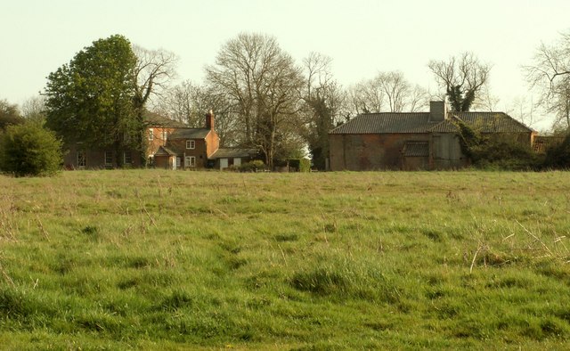
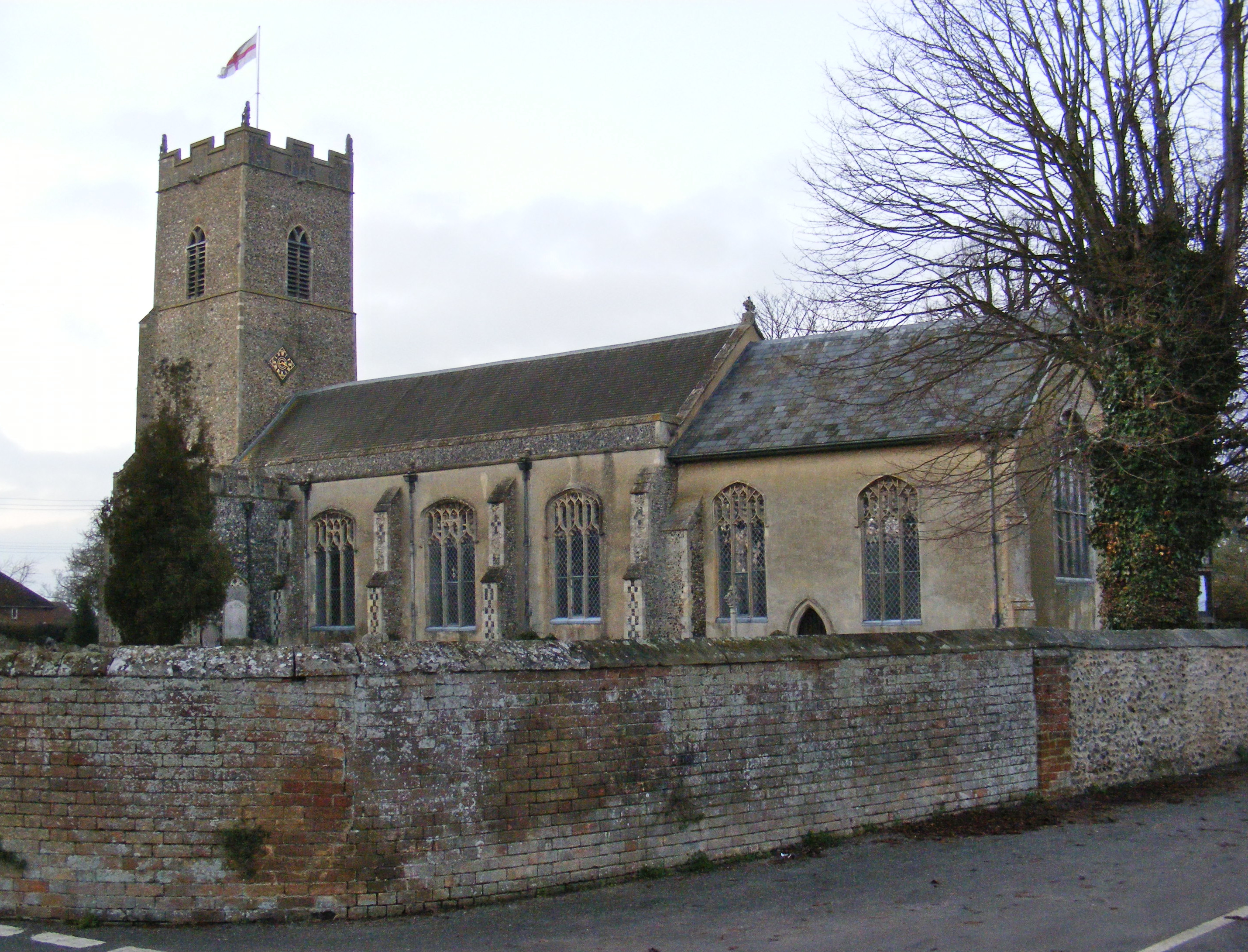
Tink's Wood Images
Images are sourced within 2km of 52.34842/1.3522565 or Grid Reference TM2877. Thanks to Geograph Open Source API. All images are credited.


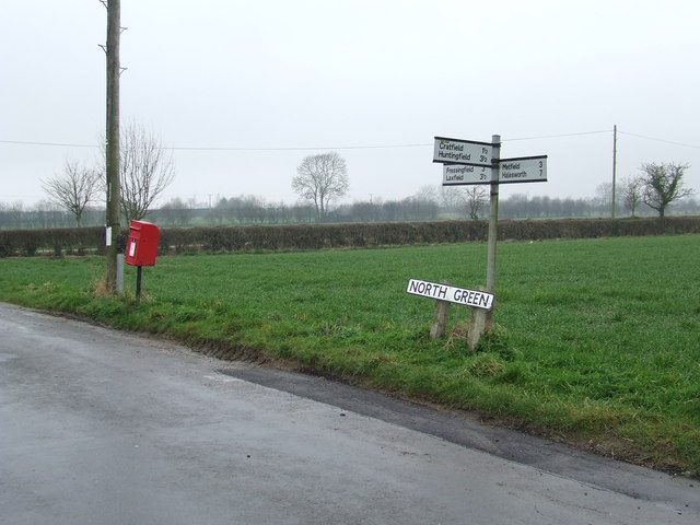
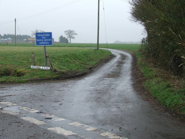


Tink's Wood is located at Grid Ref: TM2877 (Lat: 52.34842, Lng: 1.3522565)
Administrative County: Suffolk
District: Mid Suffolk
Police Authority: Suffolk
What 3 Words
///costumes.usage.prospers. Near Stradbroke, Suffolk
Nearby Locations
Related Wikis
Chippenhall Green
Chippenhall Green is a 16.3-hectare (40-acre) biological Site of Special Scientific Interest west of Halesworth in Suffolk, England.This unimproved grassland...
Metfield
Metfield is a village in Suffolk, England, but its name is derived from Medefeld or 'Meadow feld' (see Concise Oxford Dictionary of English Place Names...

Fressingfield
Fressingfield is a village in Suffolk, England, 12 miles (19 km) east of Diss, Norfolk. In 2015 it had a population of 1021, with one shop (a Mace (shop...

Metfield Meadow
Metfield Meadow is a 1.3-hectare (3.2-acre) biological Site of Special Scientific Interest west of Halesworth in Suffolk. It is owned and managed by Suffolk...
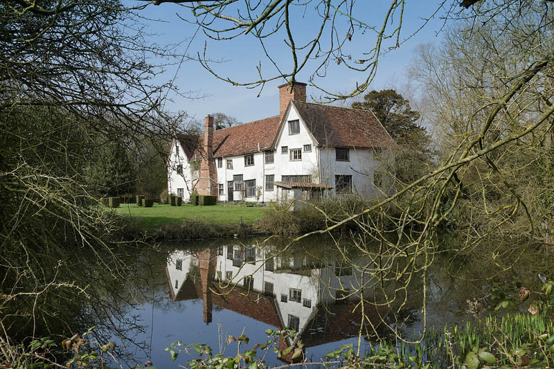
Ufford Hall, Suffolk
Ufford Hall is a Grade II* listed manor house in Fressingfield, Suffolk, England, dating back to the thirteenth century. == Description == Ufford Hall...

Cratfield
Cratfield is a village in northern Suffolk, England. "It has a population of 292 according to the 2011 census." Neighbouring villages include Laxfield...

Withersdale Street
The village of Withersdale Street is located within the rural parish of Mendham, on the Norfolk/Suffolk border, in the Waveney Valley. The village is...
Linstead Magna
Linstead Magna is a civil parish in the East Suffolk district of Suffolk in eastern England. == Population and civil parish == In 2005 its population was...
Have you been to Tink's Wood?
Leave your review of Tink's Wood below (or comments, questions and feedback).