Wroxham
Civil Parish in Norfolk Broadland
England
Wroxham
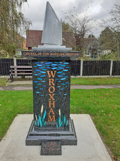
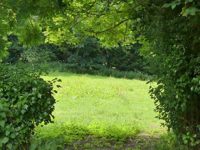
Wroxham is a civil parish located in the county of Norfolk, England. Situated in the heart of the Norfolk Broads, it is renowned for being the capital of the Broads and a popular tourist destination. The parish is part of the Broadland District and lies approximately 8 miles north-east of the city of Norwich.
Wroxham is famous for its boating industry and is often referred to as the "Gateway to the Broads". It is home to a large number of boatyards, marinas, and hire fleets, offering visitors the opportunity to explore the picturesque waterways of the Norfolk Broads. The village itself is situated on the northern bank of the River Bure and is connected to the adjacent village of Hoveton by Wroxham Bridge, which is a popular spot for watching boats pass by.
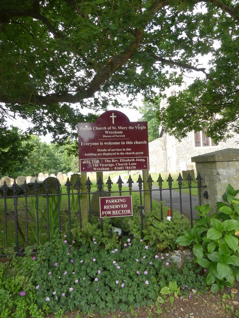
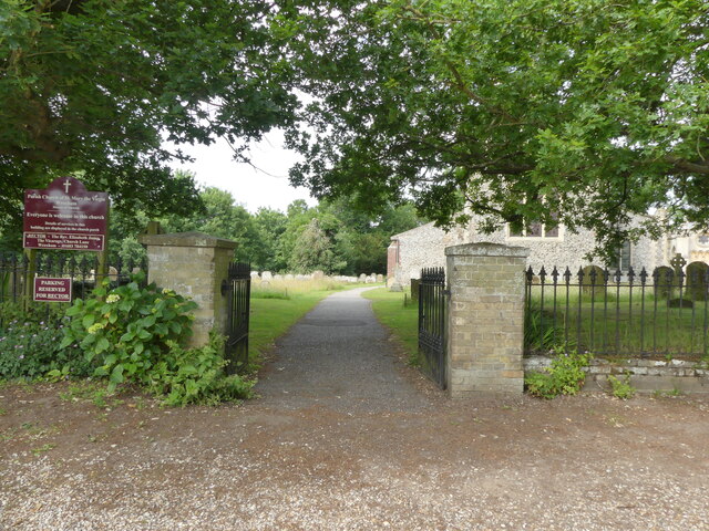
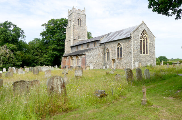
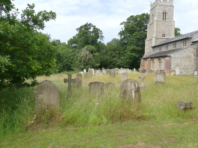
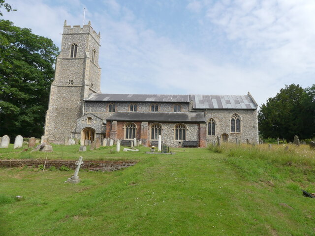
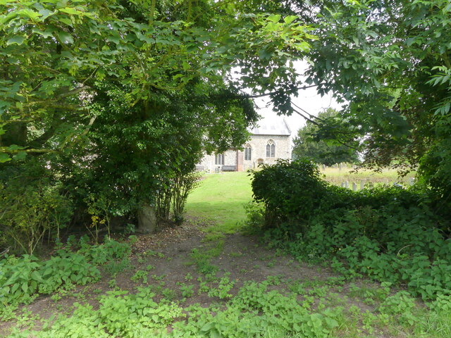
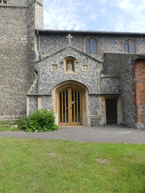
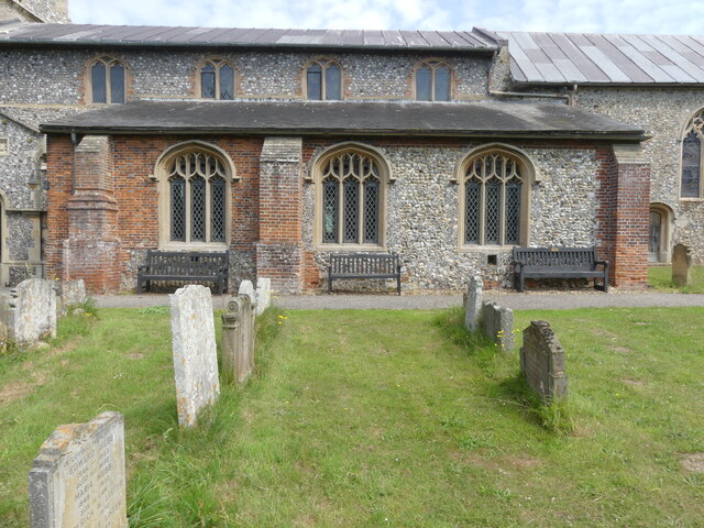
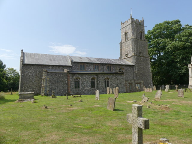
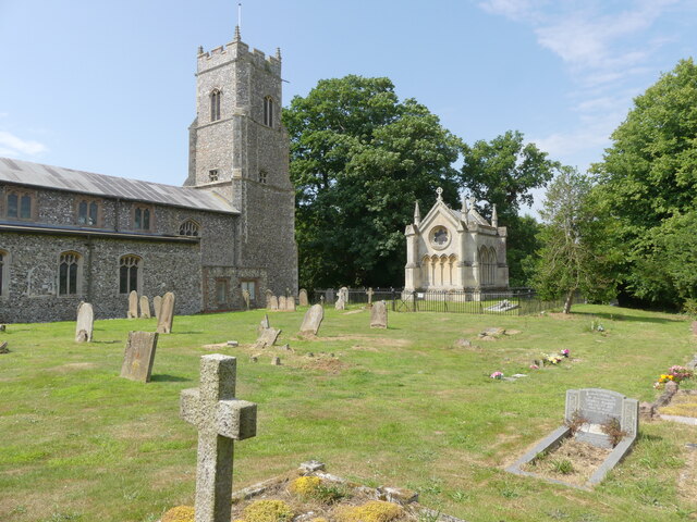
In addition to its boating heritage, Wroxham offers a range of amenities and attractions for visitors. The village has a good selection of shops, including a department store and various independent retailers. There are also several pubs, restaurants, and cafes, providing a variety of dining options. The Parish Church of St Mary the Virgin is a notable landmark, with parts of the building dating back to the 13th century.
Wroxham is a vibrant and bustling village, particularly during the summer months when it attracts a large number of tourists. Its stunning natural surroundings, combined with a range of leisure activities and amenities, make it an ideal destination for those seeking to explore the beauty of the Norfolk Broads.
If you have any feedback on the listing, please let us know in the comments section below.
Wroxham Images
Images are sourced within 2km of 52.700786/1.386458 or Grid Reference TG2816. Thanks to Geograph Open Source API. All images are credited.

Wroxham is located at Grid Ref: TG2816 (Lat: 52.700786, Lng: 1.386458)
Administrative County: Norfolk
District: Broadland
Police Authority: Norfolk
What 3 Words
///organs.ownership.orders. Near Hoveton, Norfolk
Nearby Locations
Related Wikis

River Hor
The River Hor is a short river in the county of Norfolk, England. It runs 13.3 kilometres (8.3 mi) east from its source near Felthorpe to its confluence...

Wroxham F.C.
Wroxham Football Club is a football club based in Wroxham, Norfolk, England. They are currently members of the Isthmian League North Division and play...

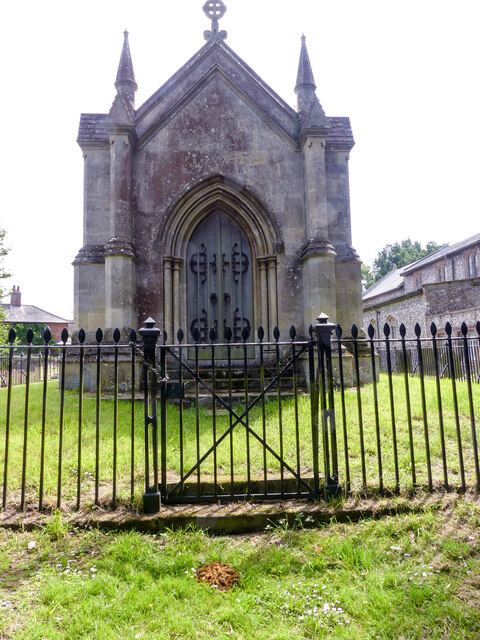
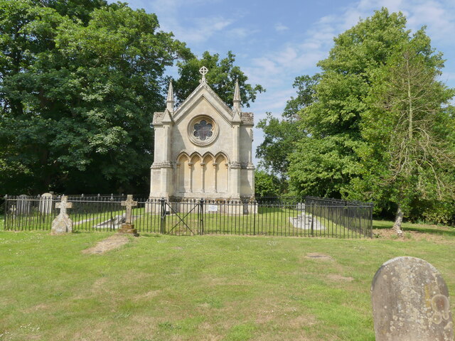
Trafford Mausoleum, Wroxham
The Trafford Mausoleum, is a memorial in Wroxham, Norfolk, England. Commissioned after the death of Sigismund Trafford Southwell in 1827, the mausoleum...

Belaugh
Belaugh is a small village (population 105) increasing to 134 at the 2011 Census, that occupies a bend in the River Bure in Norfolk, England - within The...
Barton House Railway
The Barton House Railway (BHR) is a miniature railway in Wroxham, Norfolk; it is open on the third Sunday of each month from April until October, plus...
Milestones Hospital
Milestones Hospital [ˈmaɪlstəʊnz ˈhɒspɪtl] is a 10-bed mental hospital for women at Catfield, Norfolk. Milestones is owned by the Atarrah Project Ltd....

Wroxham
Wroxham is a village and civil parish in the English county of Norfolk. The civil parish of Wroxham has an area of 6.21 square kilometres, and in 2001...

Roys of Wroxham
Roys of Wroxham is a family owned group of general stores based in Hoveton, Norfolk. The store after winning a competition in the early 1930s uses the...
Nearby Amenities
Located within 500m of 52.700786,1.386458Have you been to Wroxham?
Leave your review of Wroxham below (or comments, questions and feedback).