Privet Wood
Wood, Forest in Norfolk South Norfolk
England
Privet Wood

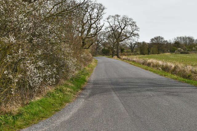
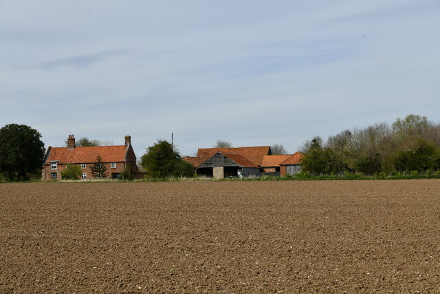
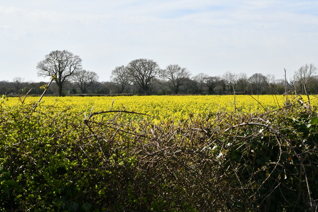
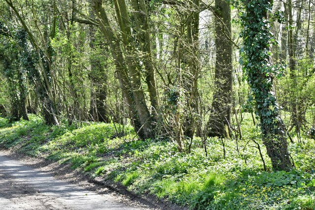
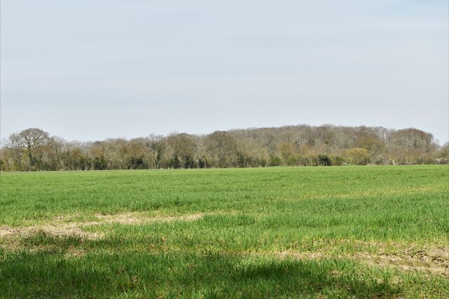
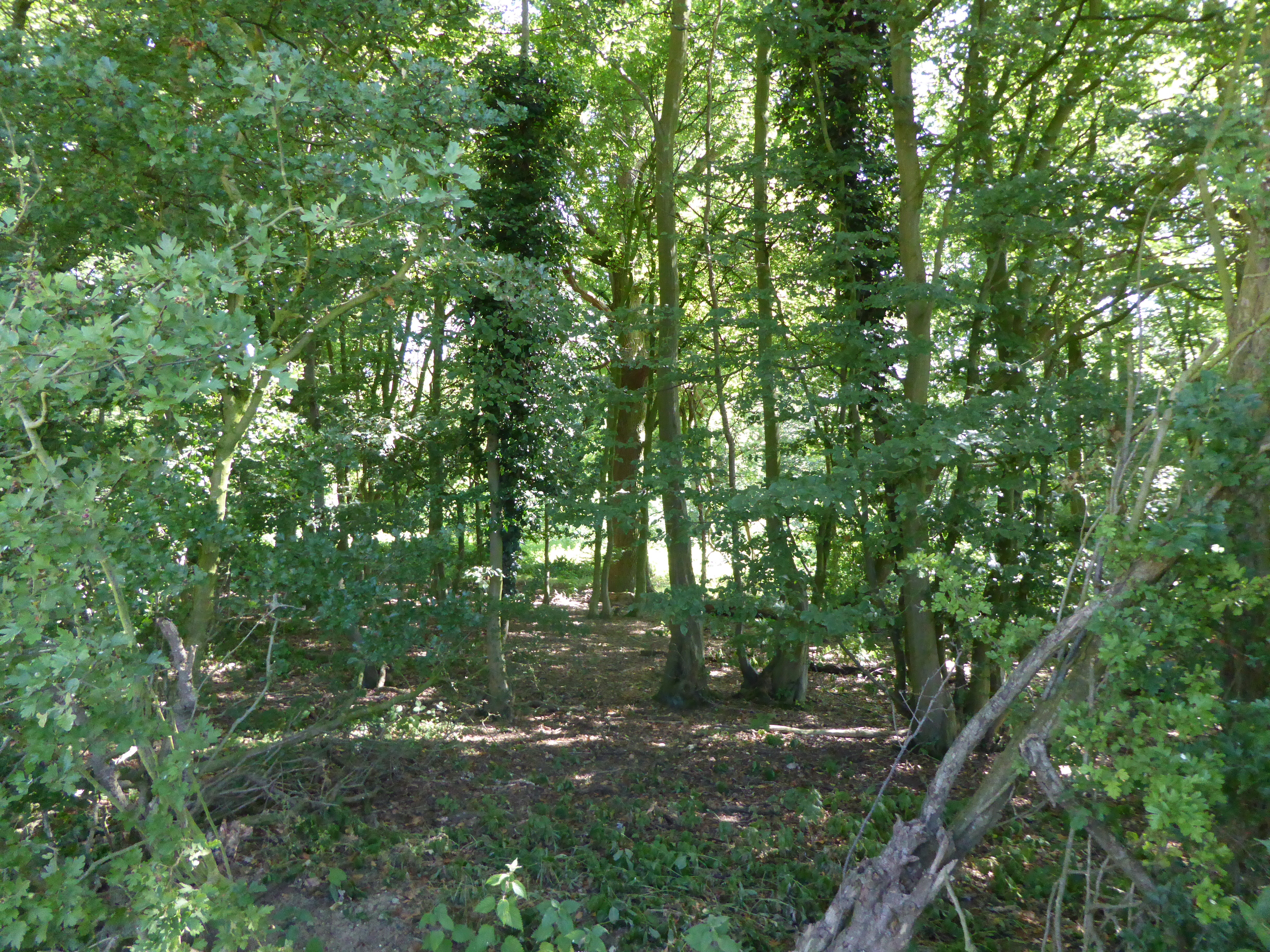
Privet Wood, located in Norfolk, England, is a picturesque forest covering an area of approximately 100 acres. It is a popular destination for nature enthusiasts and locals seeking tranquility amidst the beauty of the English countryside. The wood is predominantly comprised of privet hedges, which give it its name, but also features a diverse array of other tree species, including oak, birch, and beech.
The forest is home to a rich variety of wildlife, making it a haven for birdwatchers and animal lovers. Visitors may spot an array of bird species, such as woodpeckers, thrushes, and owls, while squirrels, foxes, and deer can also be frequently seen in their natural habitat. The wood's dense vegetation provides ample cover and food sources for these creatures, contributing to their thriving populations.
Privet Wood offers several walking trails, allowing visitors to explore its scenic landscapes at their own pace. The paths wind through the forest, leading to open clearings and hidden ponds, providing a sense of discovery and adventure. The wood's natural beauty changes with the seasons, with vibrant displays of bluebells in spring and fiery foliage in autumn.
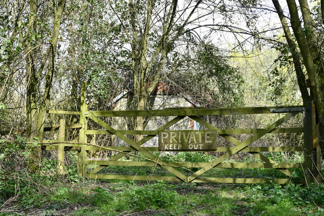
To ensure the preservation of this natural gem, Privet Wood is managed by local conservation organizations. They work to maintain the delicate balance of the ecosystem and enhance the wood's biodiversity through careful tree planting and habitat restoration projects.
Overall, Privet Wood is a captivating destination that offers a tranquil escape from the hustle and bustle of everyday life. With its diverse flora and fauna, it provides a harmonious blend of natural beauty and conservation efforts, making it a must-visit for nature enthusiasts and those seeking a connection with the idyllic Norfolk countryside.
If you have any feedback on the listing, please let us know in the comments section below.
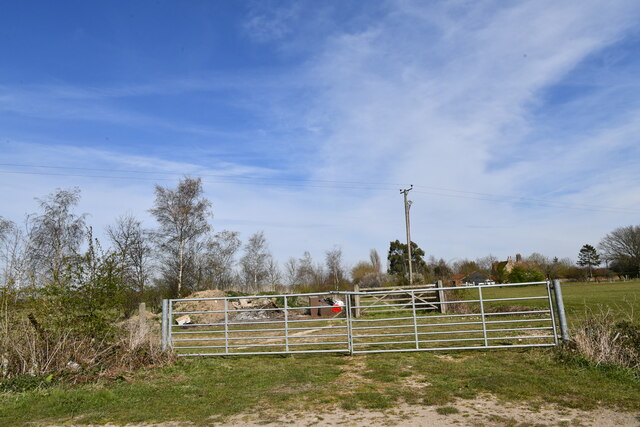
Privet Wood Images
Images are sourced within 2km of 52.502637/1.3650338 or Grid Reference TM2894. Thanks to Geograph Open Source API. All images are credited.


Privet Wood is located at Grid Ref: TM2894 (Lat: 52.502637, Lng: 1.3650338)
Administrative County: Norfolk
District: South Norfolk
Police Authority: Norfolk
What 3 Words
///muffin.distanced.sunbeam. Near Brooke, Norfolk
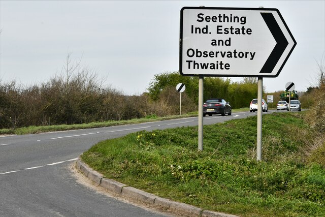
Nearby Locations
Related Wikis

Woodton
Woodton is a village and civil parish in the English county of Norfolk. It is situated some 7 km north-west of the Suffolk town of Bungay, and 20 km south...
Bedingham
Bedingham is a village and civil parish in the South Norfolk district of Norfolk, England, about 11 miles (18 km) south of Norwich. According to the 2001...

Bedingham Green
Bedingham Green is a hamlet in Norfolk, England. == References ==

South Norfolk (UK Parliament constituency)
South Norfolk is a constituency represented in the House of Commons of the UK Parliament since 2001 by Richard Bacon, a Conservative. == Constituency... ==

RAF Seething
Royal Air Force Seething, or more simply RAF Seething , is a former Royal Air Force station located around 9 NM (17 km; 10 mi) south-east of Norwich, Norfolk...

Topcroft
Topcroft is a village and a civil parish in the English county of Norfolk. The village is around 7 miles (11 km) north-west of Bungay and 14 miles (23...

Kirstead Green
Kirstead Green is a village in the English county of Norfolk. Administratively it is part of the civil parish of Kirstead within the district of South...
Hedenham Wood
Hedenham Wood is a 23.4-hectare (58-acre) biological Site of Special Scientific Interest north of Hedenham in Norfolk.Most of this ancient wood on boulder...
Nearby Amenities
Located within 500m of 52.502637,1.3650338Have you been to Privet Wood?
Leave your review of Privet Wood below (or comments, questions and feedback).