Park Wood
Wood, Forest in Norfolk South Norfolk
England
Park Wood

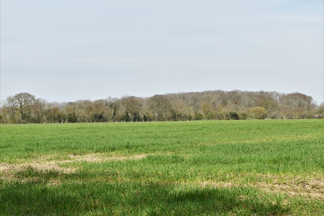
Park Wood is a charming and picturesque woodland located in Norfolk, England. Spanning approximately 20 acres, it is situated near the village of Wood, just a few miles from the bustling market town of Norfolk. The wood is named after the village and is a popular destination for outdoor enthusiasts and nature lovers.
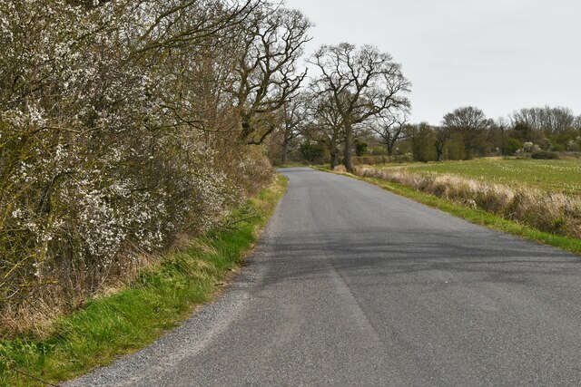
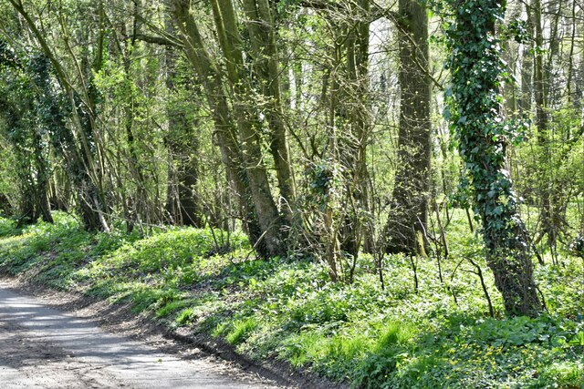
Park Wood is primarily composed of native broadleaf trees, including oak, ash, beech, and birch. These majestic trees create a dense canopy that provides shade and shelter for a diverse range of flora and fauna. The woodland floor is adorned with a beautiful array of wildflowers, such as bluebells, primroses, and wood anemones, which bloom in the spring, creating a vibrant and enchanting atmosphere.
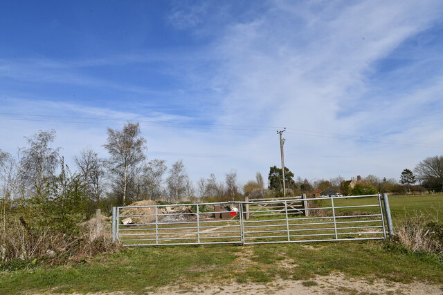
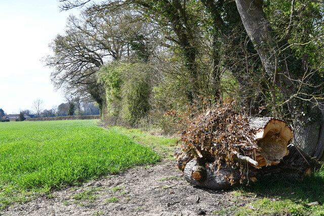
The wood is crisscrossed with well-maintained footpaths, allowing visitors to explore its natural beauty at their own pace. These paths meander through the woodland, leading visitors to hidden clearings, babbling brooks, and peaceful ponds. The tranquil ambiance of Park Wood makes it an ideal spot for picnics, quiet contemplation, or simply escaping the hustle and bustle of everyday life.
The wood is also home to a variety of wildlife, including deer, foxes, squirrels, and numerous bird species. Birdwatchers can spot woodpeckers, owls, and warblers among the branches, while nature enthusiasts may be lucky enough to catch a glimpse of a badger or a hedgehog scurrying through the undergrowth.
Overall, Park Wood is a delightful and serene woodland, providing a haven for nature lovers and a peaceful retreat for those seeking solace in the heart of Norfolk's countryside.
If you have any feedback on the listing, please let us know in the comments section below.
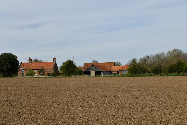
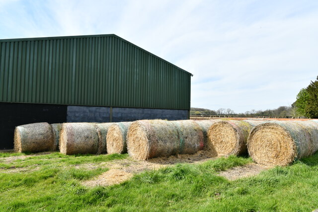
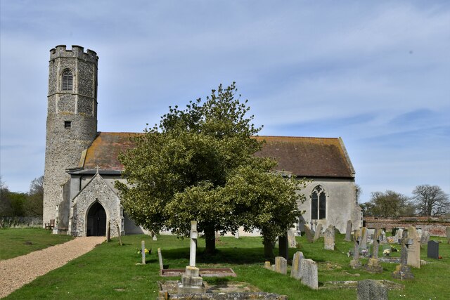
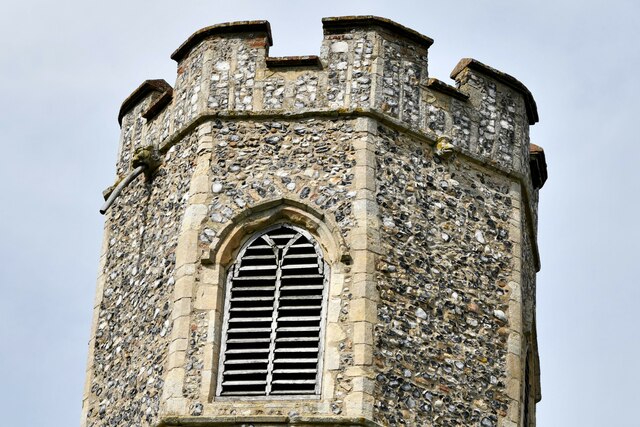
Park Wood Images
Images are sourced within 2km of 52.504987/1.3589199 or Grid Reference TM2894. Thanks to Geograph Open Source API. All images are credited.


Park Wood is located at Grid Ref: TM2894 (Lat: 52.504987, Lng: 1.3589199)
Administrative County: Norfolk
District: South Norfolk
Police Authority: Norfolk
What 3 Words
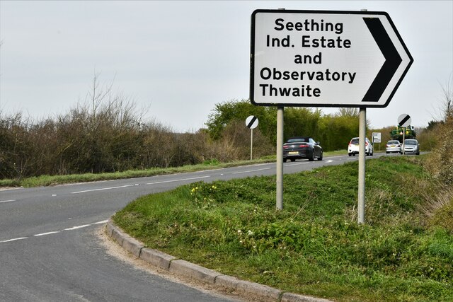
///albums.frostbite.instance. Near Brooke, Norfolk
Nearby Locations
Related Wikis

Woodton
Woodton is a village and civil parish in the English county of Norfolk. It is situated some 7 km north-west of the Suffolk town of Bungay, and 20 km south...

Topcroft
Topcroft is a village and a civil parish in the English county of Norfolk. The village is around 7 miles (11 km) north-west of Bungay and 14 miles (23...
Bedingham
Bedingham is a village and civil parish in the South Norfolk district of Norfolk, England, about 11 miles (18 km) south of Norwich. According to the 2001...

Kirstead Green
Kirstead Green is a village in the English county of Norfolk. Administratively it is part of the civil parish of Kirstead within the district of South...

Bedingham Green
Bedingham Green is a hamlet in Norfolk, England. == References ==

Shotesham-Woodton Hornbeam Woods
Shotesham-Woodton Hornbeam Woods is a 40.4-hectare (100-acre) biological Site of Special Scientific Interest east of Newton Flotman in Norfolk.This site...

South Norfolk (UK Parliament constituency)
South Norfolk is a constituency represented in the House of Commons of the UK Parliament since 2001 by Richard Bacon, a Conservative. == Constituency... ==

RAF Seething
Royal Air Force Seething, or more simply RAF Seething , is a former Royal Air Force station located around 9 NM (17 km; 10 mi) south-east of Norwich, Norfolk...
Nearby Amenities
Located within 500m of 52.504987,1.3589199Have you been to Park Wood?
Leave your review of Park Wood below (or comments, questions and feedback).