Chapman's Grove

Wood, Forest in Suffolk East Suffolk

England

Chapman's Grove

Vacant site off Walton Avenue, Felixstowe The map suggests that this was formerly the site of a motel, but is now simply an area used for parking (whether with official sanction or not is unclear).
Vacant site off Walton Avenue, Felixstowe Credit: Christopher Hilton

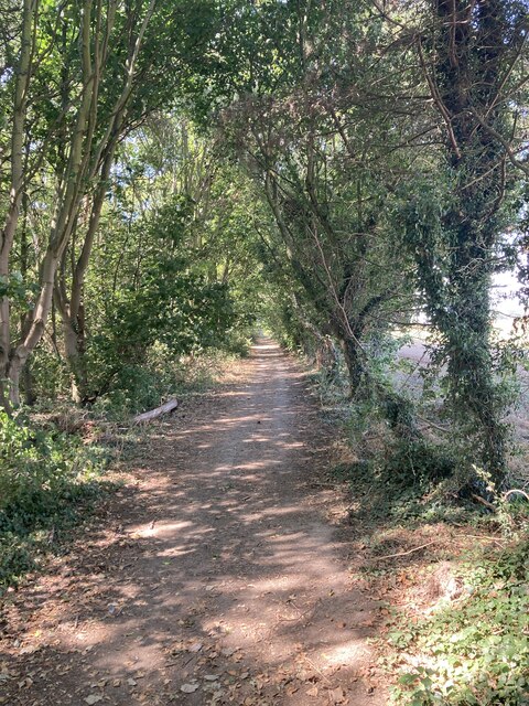
Chapman's Grove, Suffolk is a picturesque wood located in the county of Suffolk, England. This enchanting forest covers an area spanning approximately 100 acres, making it one of the larger woodland areas in the region. It is situated near the village of Chapman's Grove, from which it takes its name, and is surrounded by rolling countryside, adding to its natural beauty.

The wood is primarily composed of deciduous trees such as oak, beech, and ash, creating a rich tapestry of colors throughout the seasons. In spring, the forest floor is adorned with a carpet of bluebells, creating a breathtaking sight for visitors. Chapman's Grove is also home to a variety of wildlife, including deer, squirrels, and numerous bird species, making it a popular spot for nature enthusiasts and birdwatchers.

The wood offers a network of well-maintained walking trails, allowing visitors to explore its hidden treasures at their own pace. These trails range from easy strolls to more challenging hikes, catering to all levels of fitness and mobility. The wood is also equipped with informative signposts, providing visitors with interesting facts about the local flora and fauna.

Chapman's Grove offers a tranquil escape from the hustle and bustle of everyday life, providing visitors with a peaceful and serene environment. It is a popular destination for families, couples, and individuals seeking a connection with nature. Whether it's a leisurely walk, a picnic under the canopy of trees, or simply enjoying the sights and sounds of the woodland, Chapman's Grove is a must-visit destination for anyone looking to immerse themselves in the beauty of Suffolk's natural landscapes.

If you have any feedback on the listing, please let us know in the comments section below.

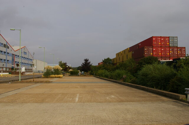
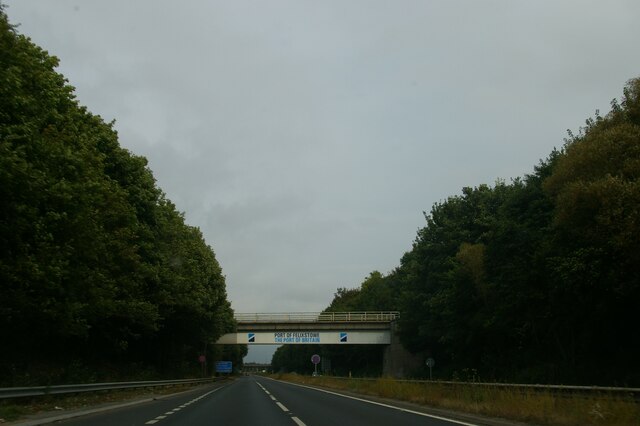
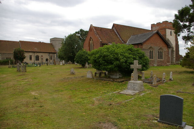
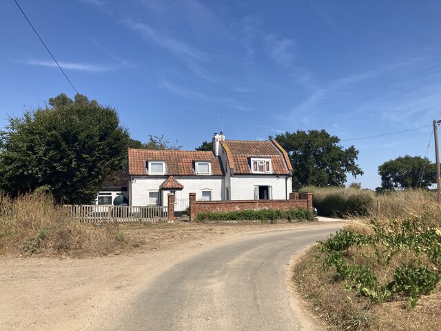
Chapman's Grove Images

Images are sourced within 2km of 51.973557/1.3189671 or Grid Reference TM2835. Thanks to Geograph Open Source API. All images are credited.

Vacant site off Walton Avenue, Felixstowe The map suggests that this was formerly the site of a motel, but is now simply an area used for parking (whether with official sanction or not is unclear).
Vacant site off Walton Avenue, Felixstowe
The map suggests that this was formerly the site of a motel, but is now simply an area used for parking (whether with official sanction or not is unclear).
Walton Avenue, Felixstowe
Hodgkinson Road, Felixstowe Hodgkinson Road is lined with lorry depots; another lies just off the right of this picture.
Hodgkinson Road, Felixstowe
Hodgkinson Road is lined with lorry depots; another lies just off the right of this picture.
Lorry depot, Hodgkinson Road, Felixstowe Hodgkinson Road is lined with lorry depots.
Lorry depot, Hodgkinson Road, Felixstowe
Hodgkinson Road is lined with lorry depots.
Depots and car parks along Parker Avenue, Felixstowe
Leaving Felixstowe on the A14: railway bridge
Walton Avenue, Felixstowe
Felixstowe to Ipswich train near the former Felixstowe Beach junction The branch line, which had curved left towards the docks, closed in 1970. The docks line is still accessible from the Ipswich direction.
Felixstowe to Ipswich train near the former Felixstowe Beach junction
The branch line, which had curved left towards the docks, closed in 1970. The docks line is still accessible from the Ipswich direction.
Deben High school site, Garrison Lane, Felixstowe Demolished in 2021.
Deben High school site, Garrison Lane, Felixstowe
Demolished in 2021.
Felixstowe-The Owl and the Pussycat Next to Morrison's.
Felixstowe-The Owl and the Pussycat
Next to Morrison's.
Looking across borage crop towards Felixstowe Docks
Ruined station building, Trimley Trimley station remains in use, as the fresh information board on the right indicates, but the old station building is clearly out of action.
Ruined station building, Trimley
Trimley station remains in use, as the fresh information board on the right indicates, but the old station building is clearly out of action.
Trimley churches and churchyard Trimley is divided into two parishes, each with its own church in a shared churchyard; each parish gives its name to one end of the village.  St Martin's, the nearer church, is still in use, but St Mary's, the further building, is generally locked.
Trimley churches and churchyard
Trimley is divided into two parishes, each with its own church in a shared churchyard; each parish gives its name to one end of the village. St Martin's, the nearer church, is still in use, but St Mary's, the further building, is generally locked.
Pond near Kiln Grove
Cottage at Trimley Lower Street
Wooded footpath near Alston Hall
Candlet Track, north of Felixstowe
Show me another place!

Chapman's Grove is located at Grid Ref: TM2835 (Lat: 51.973557, Lng: 1.3189671)

Administrative County: Suffolk

District: East Suffolk

Police Authority: Suffolk

What 3 Words

///shelter.name.consonant. Near Felixstowe, Suffolk

Related Wikis

Trimley railway station

Trimley railway station is on the Felixstowe Branch Line in the east of England, serving the village of Trimley St. Mary, Suffolk. It is 14 miles 5 chains...

Trimley St Mary

Trimley St. Mary is a parish and village on the outskirts of Felixstowe, on a low-lying peninsula between Harwich Harbour and the River Deben, in Suffolk...

Upper Mill, Walton

Upper Mill or Walton Mill is a Grade II listed smock mill at Walton, Suffolk, England, which has been conserved. == History == Upper Mill was built in...

Felixstowe Academy

Felixstowe School is a secondary school and sixth form with academy status, located in Felixstowe, Suffolk, England. The school was formed in September...

River Orwell

The River Orwell flows through the county of Suffolk in England from Ipswich to Felixstowe. Above Ipswich, the river is known as the River Gipping, but...

Walton, Suffolk

Walton is a settlement and former civil parish, now in the parish of Felixstowe, in the East Suffolk district, in the county of Suffolk, England, lying...

Alston, Suffolk

Alston was a medieval parish in the county of Suffolk. Without enough people to ensure its survival, the parish was consolidated with that of Trimley St...

Trimley St Martin

Trimley St. Martin is a parish and village that lies between the rivers Orwell and the Deben, on the long narrow tongue of land from Ipswich to Felixstowe...

Nearby Amenities

Located within 500m of 51.973557,1.3189671
Trimley
Naptan AtcoCode: 9100TRIMLEY
Network: National Rail
Network Website: https://www.nationalrail.co.uk/stations/trm/
Network Wikidata: Q26334
Railway: station
Ref Crs: TRM
Ref Stanox: 49138
Ref Tiploc: TRIMLEY
Wheelchair: yes
Wikidata: Q2889017
Wikipedia: en:Trimley railway station
Lat/Long: 51.9766523/1.3194153
Crossing Barrier: full
Crossing Bell: yes
Crossing Light: yes
Railway: level_crossing
Lat/Long: 51.9770499/1.3187255
Barrier: bollard
Lat/Long: 51.9719116/1.3131037
Waste Basket
Lat/Long: 51.9743476/1.3158218
Waste Basket
Lat/Long: 51.9733816/1.3149099
Railway: switch
Lat/Long: 51.9776538/1.317549
Trimley Signal FW9029
Railway: site
Ref Tiploc: TRIM029
Lat/Long: 51.9759969/1.3205165
Railway: switch
Lat/Long: 51.9753742/1.3217045
Railway: level_crossing
Lat/Long: 51.977027/1.3186909
Mr Bees Brewery
Addr City: Trimley St Mary
Addr Housenumber: Searson's Farm
Addr Postcode: IP11 0UD
Addr Street: Cordy's Lane
Craft: brewery
Lat/Long: 51.9716909/1.314451
Barrier: kissing_gate
Lat/Long: 51.9722529/1.3194655
Railway: switch
Lat/Long: 51.9759673/1.3205696
The data included in this document is from www.openstreetmap.org. The data is made available under ODbL.

Have you been to Chapman's Grove?

Leave your review of Chapman's Grove below (or comments, questions and feedback).