Clickett Hill
Hill, Mountain in Suffolk East Suffolk
England
Clickett Hill
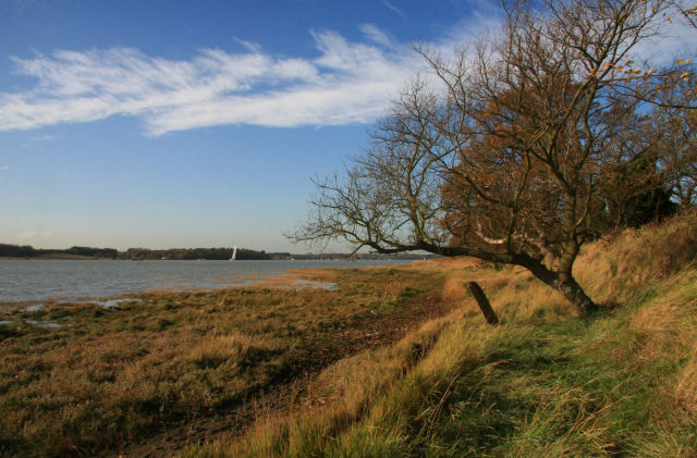
Clickett Hill is a prominent hill located in Suffolk, England. Standing at an elevation of approximately 120 meters (394 feet), it is considered one of the highest points in the surrounding area. Situated in the southeastern part of the county, Clickett Hill offers visitors breathtaking panoramic views of the picturesque Suffolk countryside.
Covered in lush greenery, the hill is primarily comprised of grassy slopes, with scattered patches of woodland. It is a popular spot for locals and tourists alike, who flock to the area to enjoy its natural beauty and tranquility. The hill provides ample opportunities for outdoor activities such as hiking, picnicking, and birdwatching.
At the summit of Clickett Hill, there is a small stone marker that denotes its height and serves as a landmark for visitors. This spot provides an excellent vantage point, allowing visitors to take in the sprawling landscapes that stretch out before them.
The hill is also known for its historical significance. It is believed to have been inhabited since ancient times, with evidence of human activity dating back to the Neolithic period. Archaeological finds, such as flint tools and pottery shards, have been discovered in the vicinity, providing insights into the lives of the early settlers.
Overall, Clickett Hill is a captivating natural feature that offers a peaceful retreat for those seeking solace in the Suffolk countryside. Its scenic beauty, coupled with its rich history, makes it a must-visit destination for nature enthusiasts and history buffs alike.
If you have any feedback on the listing, please let us know in the comments section below.
Clickett Hill Images
Images are sourced within 2km of 51.972798/1.325479 or Grid Reference TM2835. Thanks to Geograph Open Source API. All images are credited.


Clickett Hill is located at Grid Ref: TM2835 (Lat: 51.972798, Lng: 1.325479)
Administrative County: Suffolk
District: East Suffolk
Police Authority: Suffolk
What 3 Words
///bank.deserved.timed. Near Felixstowe, Suffolk
Nearby Locations
Related Wikis

Trimley railway station
Trimley railway station is on the Felixstowe Branch Line in the east of England, serving the village of Trimley St. Mary, Suffolk. It is 14 miles 5 chains...

Trimley St Mary
Trimley St. Mary is a parish and village on the outskirts of Felixstowe, on a low-lying peninsula between Harwich Harbour and the River Deben, in Suffolk...
Upper Mill, Walton
Upper Mill or Walton Mill is a Grade II listed smock mill at Walton, Suffolk, England, which has been conserved. == History == Upper Mill was built in...
Felixstowe Academy
Felixstowe School is a secondary school and sixth form with academy status, located in Felixstowe, Suffolk, England. The school was formed in September...

Walton, Suffolk
Walton is a settlement and former civil parish, now in the parish of Felixstowe, in the East Suffolk district, in the county of Suffolk, England, lying...
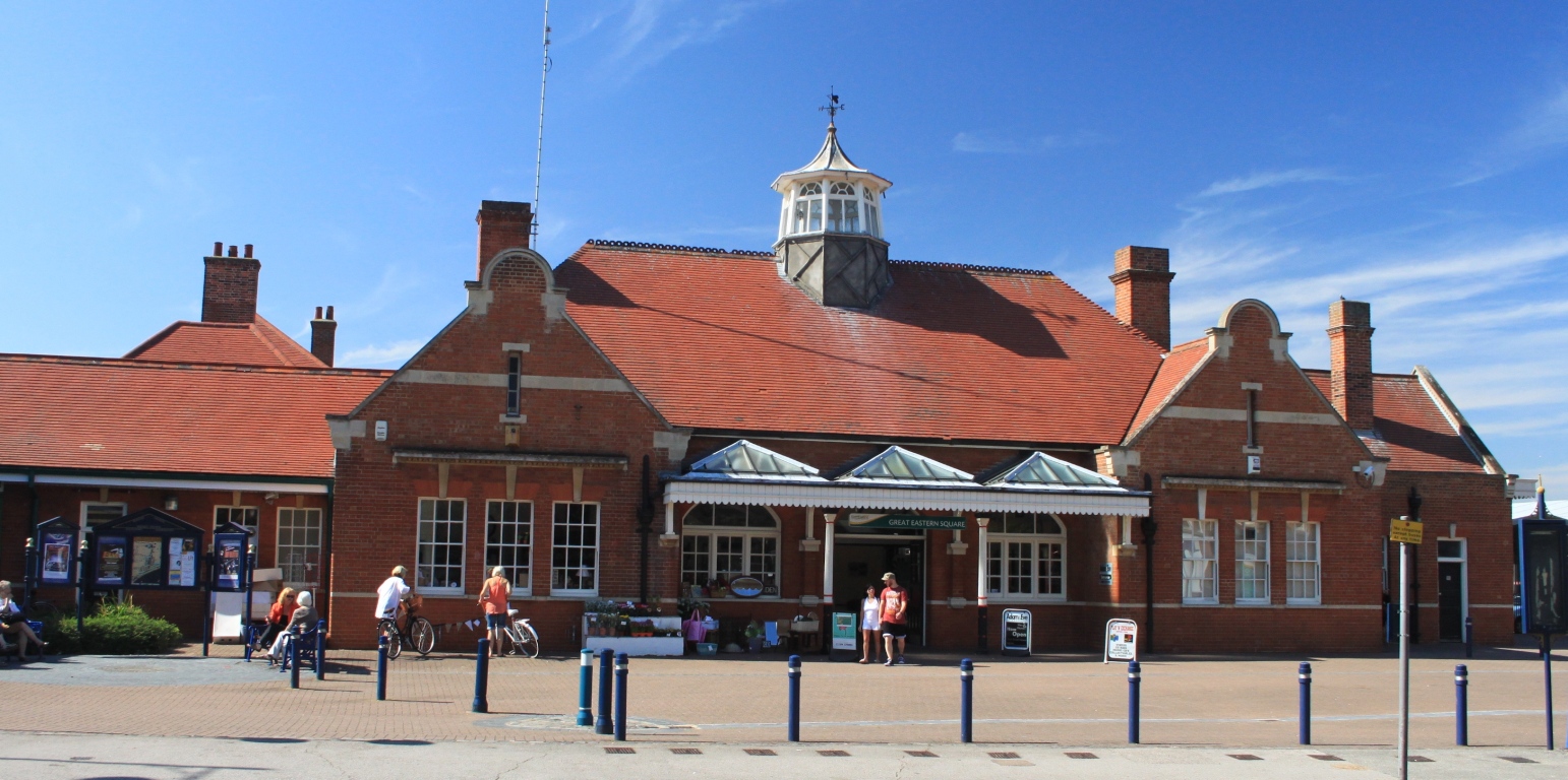
Felixstowe railway station
Felixstowe railway station is the eastern passenger terminus of the Felixstowe Branch Line, in the east of England and is the only surviving station serving...
River Orwell
The River Orwell flows through the county of Suffolk in England from Ipswich to Felixstowe. Above Ipswich, the river is known as the River Gipping, but...
Alston, Suffolk
Alston was a medieval parish in the county of Suffolk. Without enough people to ensure its survival, the parish was consolidated with that of Trimley St...
Nearby Amenities
Located within 500m of 51.972798,1.325479Have you been to Clickett Hill?
Leave your review of Clickett Hill below (or comments, questions and feedback).