Crow Hill
Hill, Mountain in Norfolk South Norfolk
England
Crow Hill
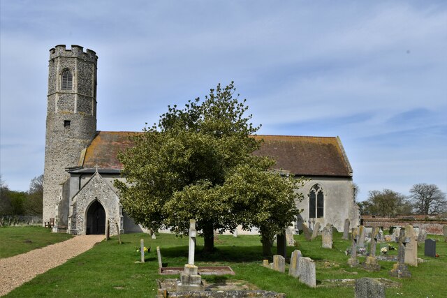
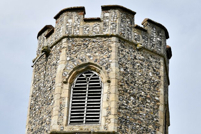
Crow Hill is a prominent hill located in Norfolk, England. Situated in the eastern part of the county, it forms part of the beautiful Norfolk Broads National Park. Rising to a height of 103 meters (338 feet), Crow Hill stands as one of the highest points in the region and offers stunning panoramic views of the surrounding countryside.
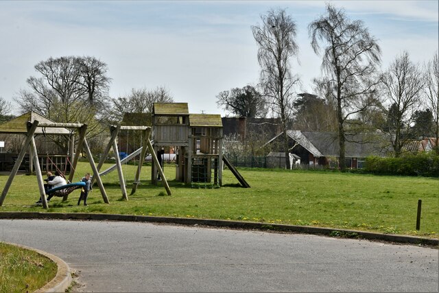
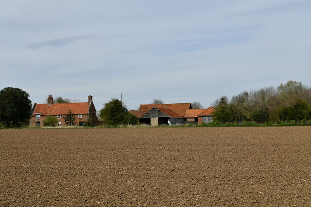
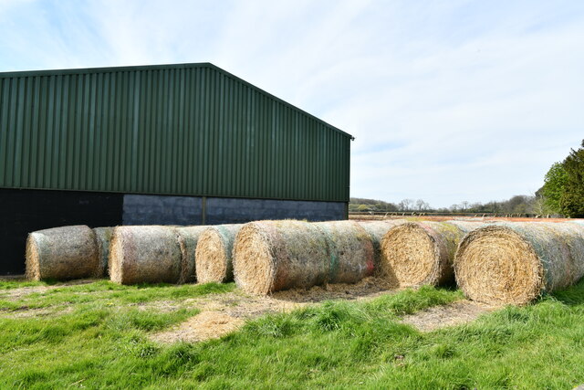
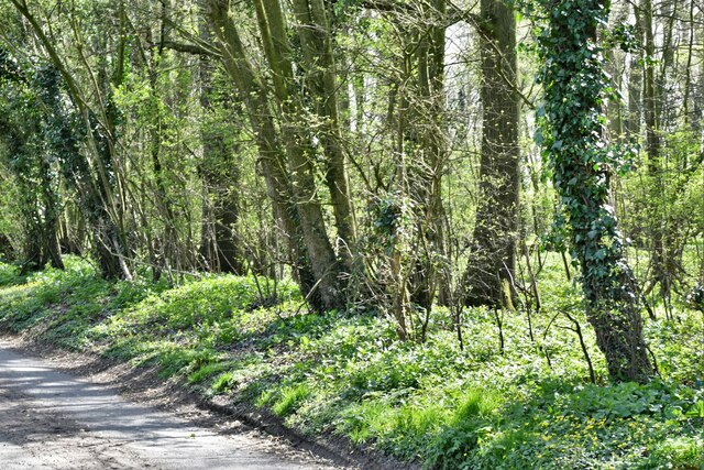
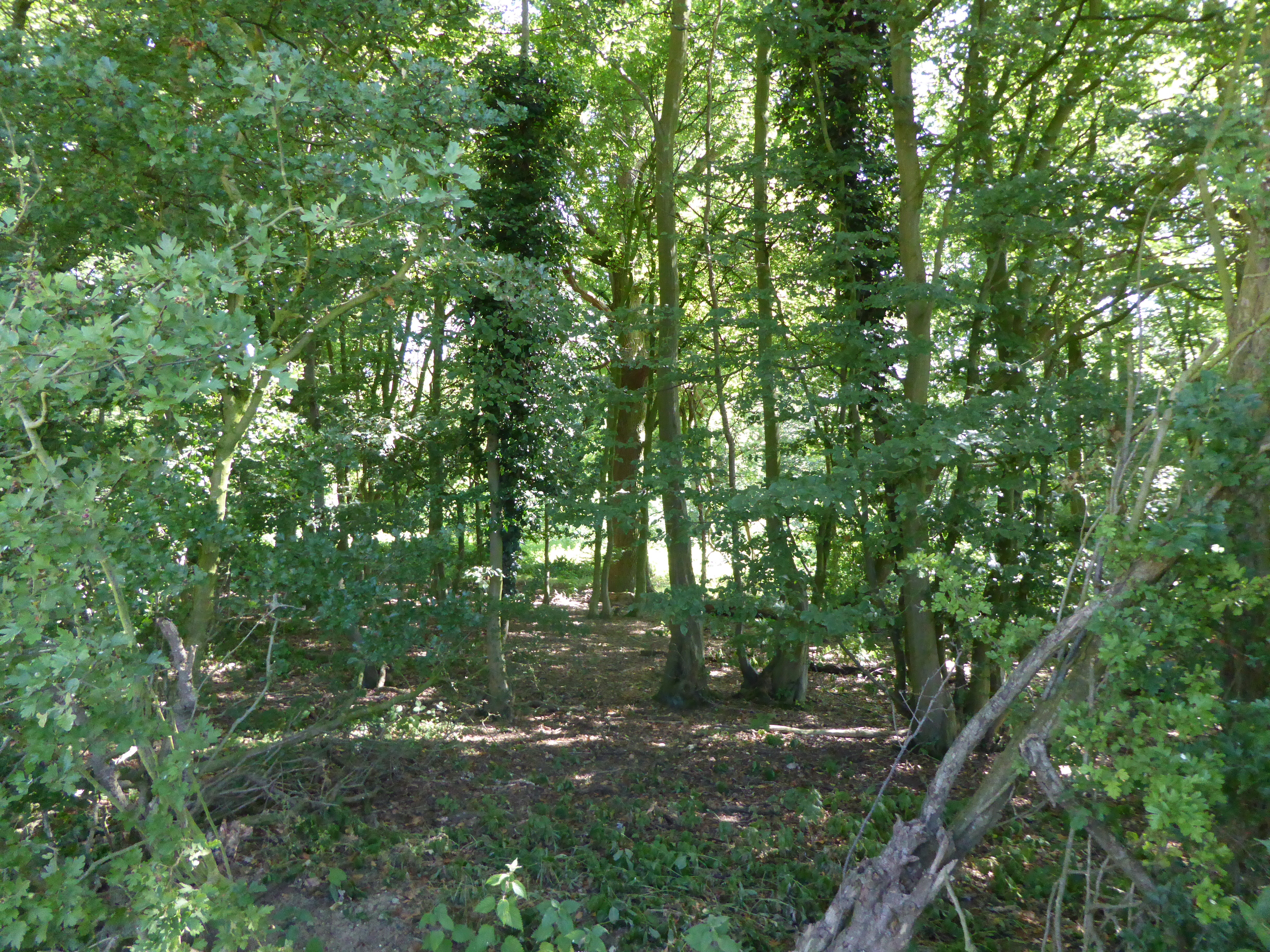
The hill is characterized by its gently sloping sides covered in lush green vegetation, making it a popular destination for hikers and nature enthusiasts. The area surrounding Crow Hill is predominantly rural, with scattered farmsteads and small villages dotting the landscape.
At the summit of Crow Hill, visitors are treated to breathtaking vistas that stretch for miles. On clear days, it is possible to see as far as the Norfolk coast, providing an impressive sight of the North Sea. The hill's strategic position also allows for sweeping views of the Norfolk Broads, a network of rivers and lakes renowned for their natural beauty and abundant wildlife.
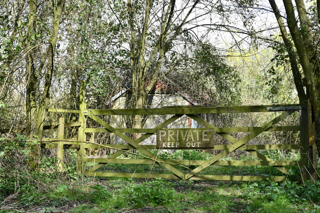
Crow Hill is accessible via a network of footpaths and trails that wind through the Norfolk countryside, offering visitors the opportunity to explore the surrounding area while enjoying the hill's scenic views. The hill's diverse flora and fauna make it an ideal location for birdwatching and wildlife spotting, with numerous species of birds and mammals calling the area home.
Overall, Crow Hill stands as a picturesque and idyllic natural landmark, offering visitors a chance to immerse themselves in the beauty of Norfolk's countryside.
If you have any feedback on the listing, please let us know in the comments section below.
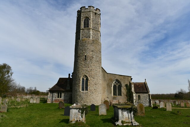
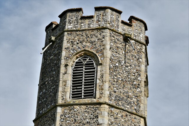
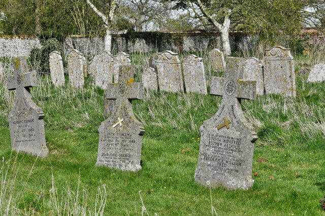
Crow Hill Images
Images are sourced within 2km of 52.489807/1.3648639 or Grid Reference TM2893. Thanks to Geograph Open Source API. All images are credited.


Crow Hill is located at Grid Ref: TM2893 (Lat: 52.489807, Lng: 1.3648639)
Administrative County: Norfolk
District: South Norfolk
Police Authority: Norfolk
What 3 Words
///liner.tower.rainwater. Near Brooke, Norfolk
Nearby Locations
Related Wikis
Bedingham
Bedingham is a village and civil parish in the South Norfolk district of Norfolk, England, about 11 miles (18 km) south of Norwich. According to the 2001...

Bedingham Green
Bedingham Green is a hamlet in Norfolk, England. == References ==

Woodton
Woodton is a village and civil parish in the English county of Norfolk. It is situated some 7 km north-west of the Suffolk town of Bungay, and 20 km south...

Topcroft
Topcroft is a village and a civil parish in the English county of Norfolk. The village is around 7 miles (11 km) north-west of Bungay and 14 miles (23...

Sexton Wood
Sexton Wood is a 40-hectare (99-acre) biological Site of Special Scientific Interest north-west of Ditchingham in Norfolk. It is a Nature Conservation...
Hedenham
Hedenham is a civil parish in the English county of Norfolk. It covers an area of 7.30 km2 (2.82 sq mi) and had a population of 173 in 70 households at...

South Norfolk (UK Parliament constituency)
South Norfolk is a constituency represented in the House of Commons of the UK Parliament since 2001 by Richard Bacon, a Conservative. == Constituency... ==
Hedenham Wood
Hedenham Wood is a 23.4-hectare (58-acre) biological Site of Special Scientific Interest north of Hedenham in Norfolk.Most of this ancient wood on boulder...
Nearby Amenities
Located within 500m of 52.489807,1.3648639Have you been to Crow Hill?
Leave your review of Crow Hill below (or comments, questions and feedback).