Granby Wood
Wood, Forest in Suffolk East Suffolk
England
Granby Wood
Granby Wood is a picturesque woodland located in the county of Suffolk, England. Covering an area of approximately 50 acres, it is situated near the village of Granby and is known for its exceptional natural beauty and diverse range of flora and fauna.
The wood is predominantly composed of broadleaf trees, including oak, beech, and ash, which create a dense and enchanting canopy. The forest floor is adorned with a vibrant carpet of bluebells in the spring, adding a splash of color to the tranquil surroundings. The wood is also home to a variety of wildlife, including deer, foxes, badgers, and numerous bird species, making it a popular destination for nature enthusiasts and birdwatchers.
Granby Wood offers a network of well-maintained walking trails, allowing visitors to explore the woodland at their own pace. These paths wind through the diverse habitats, revealing hidden glades, babbling brooks, and ancient trees with gnarled trunks. There are also designated picnic areas where visitors can relax and enjoy the peaceful ambiance of the wood.
The wood is managed by the Suffolk Wildlife Trust, ensuring the preservation of its natural beauty and biodiversity. The trust organizes regular events and educational programs, providing opportunities for the local community to learn about and engage with the woodland environment.
Granby Wood is a true gem of Suffolk, offering a haven of tranquility and natural splendor for all who visit. Whether for a leisurely stroll, birdwatching, or simply immersing oneself in the peacefulness of nature, this wood is a must-visit destination for those seeking solace amidst the beauty of the English countryside.
If you have any feedback on the listing, please let us know in the comments section below.
Granby Wood Images
Images are sourced within 2km of 52.079077/1.3285765 or Grid Reference TM2847. Thanks to Geograph Open Source API. All images are credited.


![Sutton Hoo site [1] Part of the visitor centre.](https://s3.geograph.org.uk/geophotos/05/11/65/5116587_d7fcd831.jpg)
![Sutton Hoo site [2] An unusual boat shaped seat beside the path from the visitor centre to the burial mounds.](https://s0.geograph.org.uk/geophotos/05/11/65/5116588_0e106489.jpg)
![Sutton Hoo site [3] A view of the estuary of the River Deben with the town of Woodbridge beyond. Seen from the path between the visitor centre and the burial mounds.](https://s2.geograph.org.uk/geophotos/05/11/65/5116590_f2ca99e3.jpg)
Granby Wood is located at Grid Ref: TM2847 (Lat: 52.079077, Lng: 1.3285765)
Administrative County: Suffolk
District: East Suffolk
Police Authority: Suffolk
What 3 Words
///vouch.cheaply.divisible. Near Woodbridge, Suffolk
Nearby Locations
Related Wikis

Ferry Cliff, Sutton
Ferry Cliff, Sutton is a 2.8-hectare (6.9-acre) geological Site of Special Scientific Interest Suffolk. It is a Geological Conservation Review site, and...

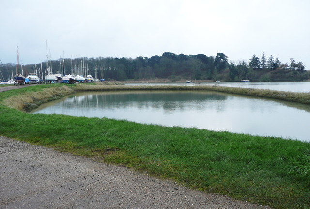
Sutton Hoo
Sutton Hoo is the site of two Anglo-Saxon cemeteries dating from the 6th to 7th centuries near Woodbridge, Suffolk, England. Archaeologists have been excavating...

Sutton Hoo helmet
The Sutton Hoo helmet is a decorated Anglo-Saxon helmet found during a 1939 excavation of the Sutton Hoo ship-burial. It was buried around the years c...
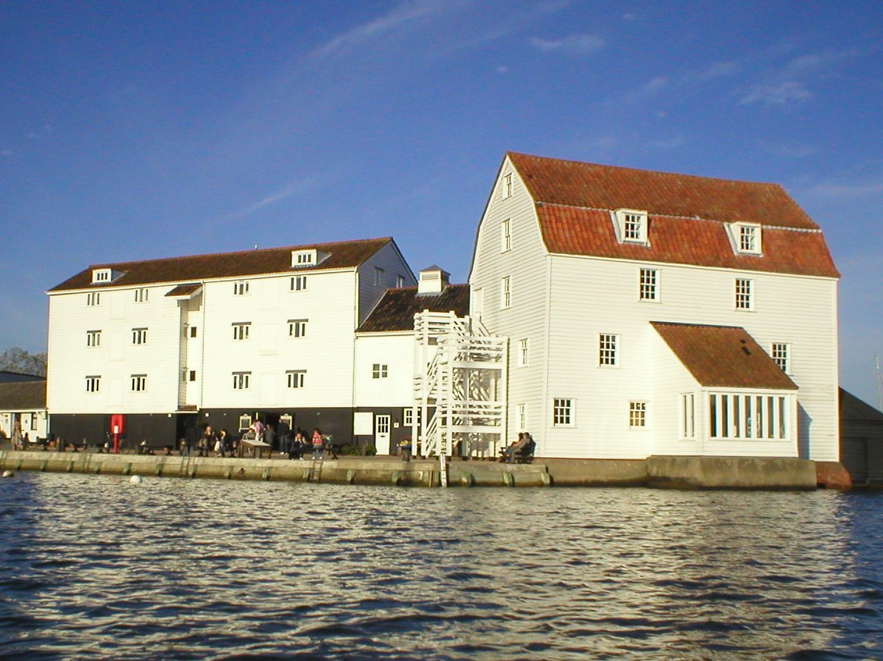
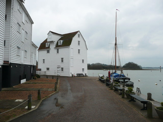
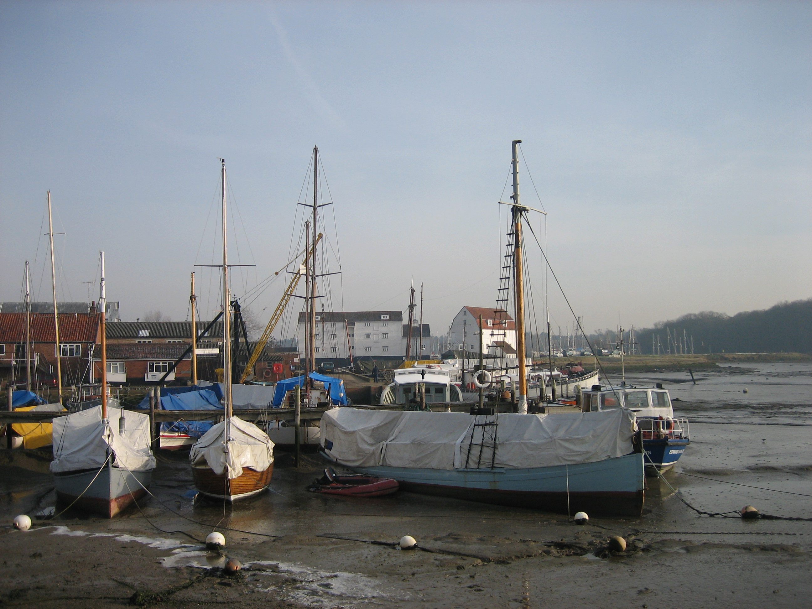
Woodbridge Tide Mill
Woodbridge Tide Mill in Woodbridge, Suffolk, England is a rare example of a tide mill whose water wheel still turns and is capable of grinding a wholemeal...
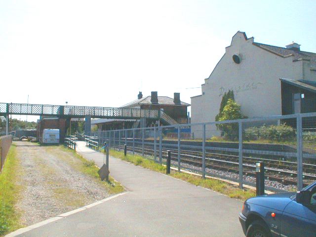
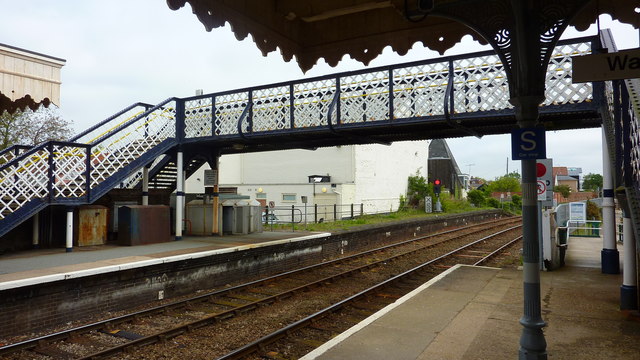
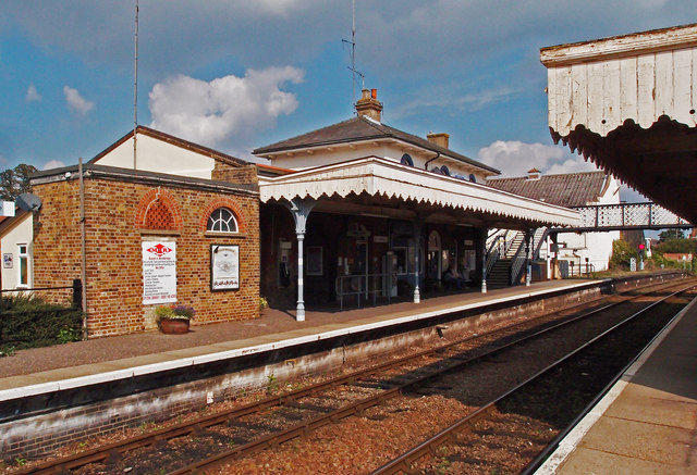
Woodbridge railway station
Woodbridge railway station is on the East Suffolk Line in the east of England, serving the town of Woodbridge, Suffolk. It is 10 miles 19 chains (16.5...
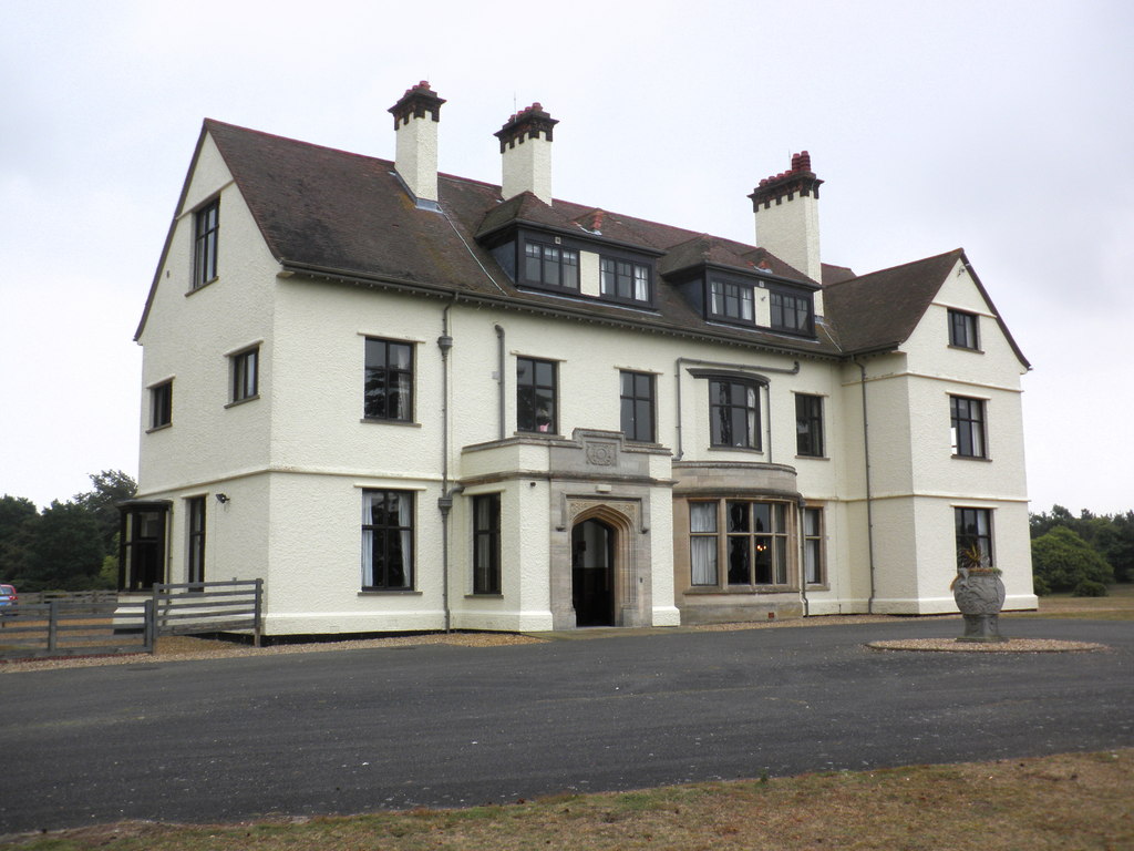
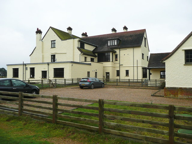
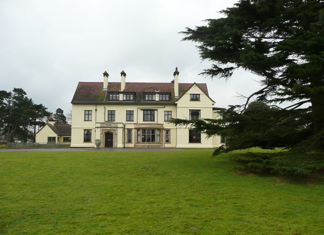
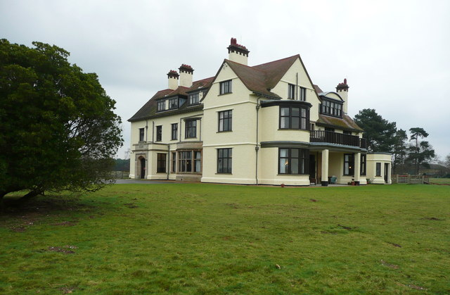
Tranmer House
Tranmer House is a country house in Sutton Hoo, Woodbridge, Suffolk, England, dating from 1910. The house is located on the Sutton Hoo Anglo-Saxon burial...
Woodbridge, Suffolk
Woodbridge is a port town and civil parish in the East Suffolk district of Suffolk, England. It is 8 miles (13 km) up the River Deben from the sea. It...
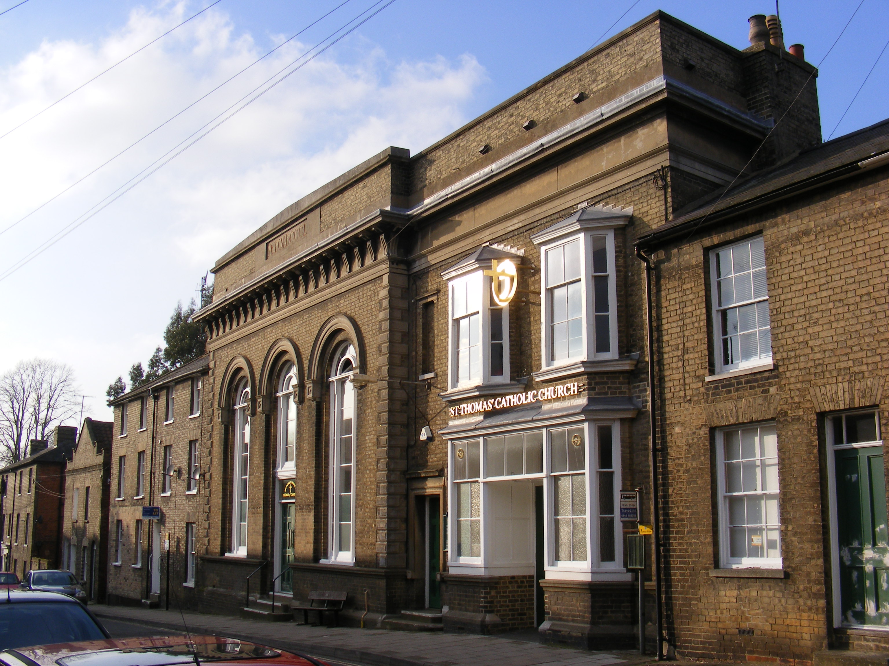
Church of St Thomas of Canterbury, Woodbridge
The Church of St Thomas of Canterbury is a Roman Catholic church in St John's Street in Woodbridge, Suffolk. It has been part of the Catholic Diocese...
Nearby Amenities
Located within 500m of 52.079077,1.3285765Have you been to Granby Wood?
Leave your review of Granby Wood below (or comments, questions and feedback).