Runston Village
Heritage Site in Monmouthshire
Wales
Runston Village
Runston Village is a historic settlement located in Monmouthshire, Wales, known for its rich heritage and picturesque surroundings. Situated on the banks of the River Wye, the village dates back to the 11th century and has been designated as a heritage site due to its well-preserved medieval architecture and cultural significance.
The village is characterized by its charming stone buildings and narrow, winding streets, which evoke a sense of stepping back in time. The centerpiece of Runston Village is the St. Mary's Church, a Grade II listed building that boasts an impressive Norman tower and intricate stained glass windows. The church is still active today and provides a spiritual hub for the local community.
In addition to St. Mary's Church, Runston Village is also home to several other historic landmarks. The village square features a medieval market cross, where locals would gather for trade and social activities in centuries past. Nearby, the ruins of a 13th-century castle stand as a reminder of the village's turbulent past.
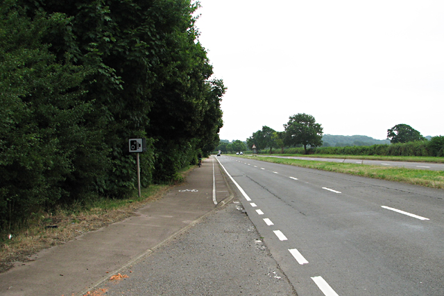
Visitors to Runston Village can explore the heritage site on foot, taking in the scenic countryside views and immersing themselves in the village's storied history. The village is also a popular destination for hikers, as it offers access to the nearby Wye Valley and its stunning natural beauty.
Overall, Runston Village is a place of historical significance and natural beauty, providing a glimpse into Wales' medieval past. Its well-preserved architecture and charming atmosphere make it a must-visit destination for history enthusiasts and nature lovers alike.
If you have any feedback on the listing, please let us know in the comments section below.
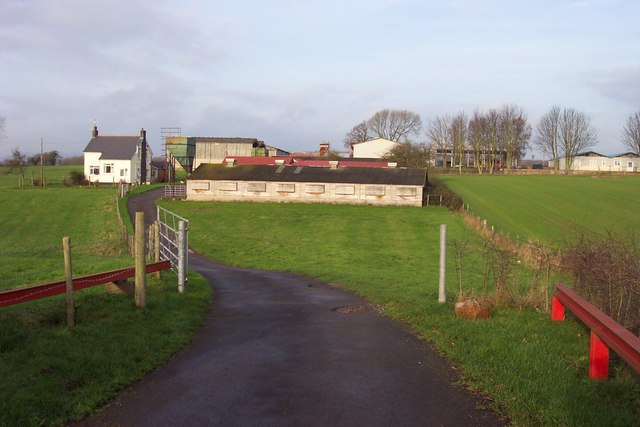
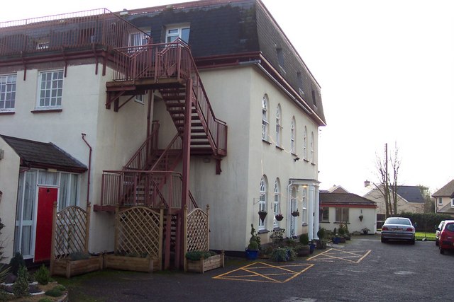
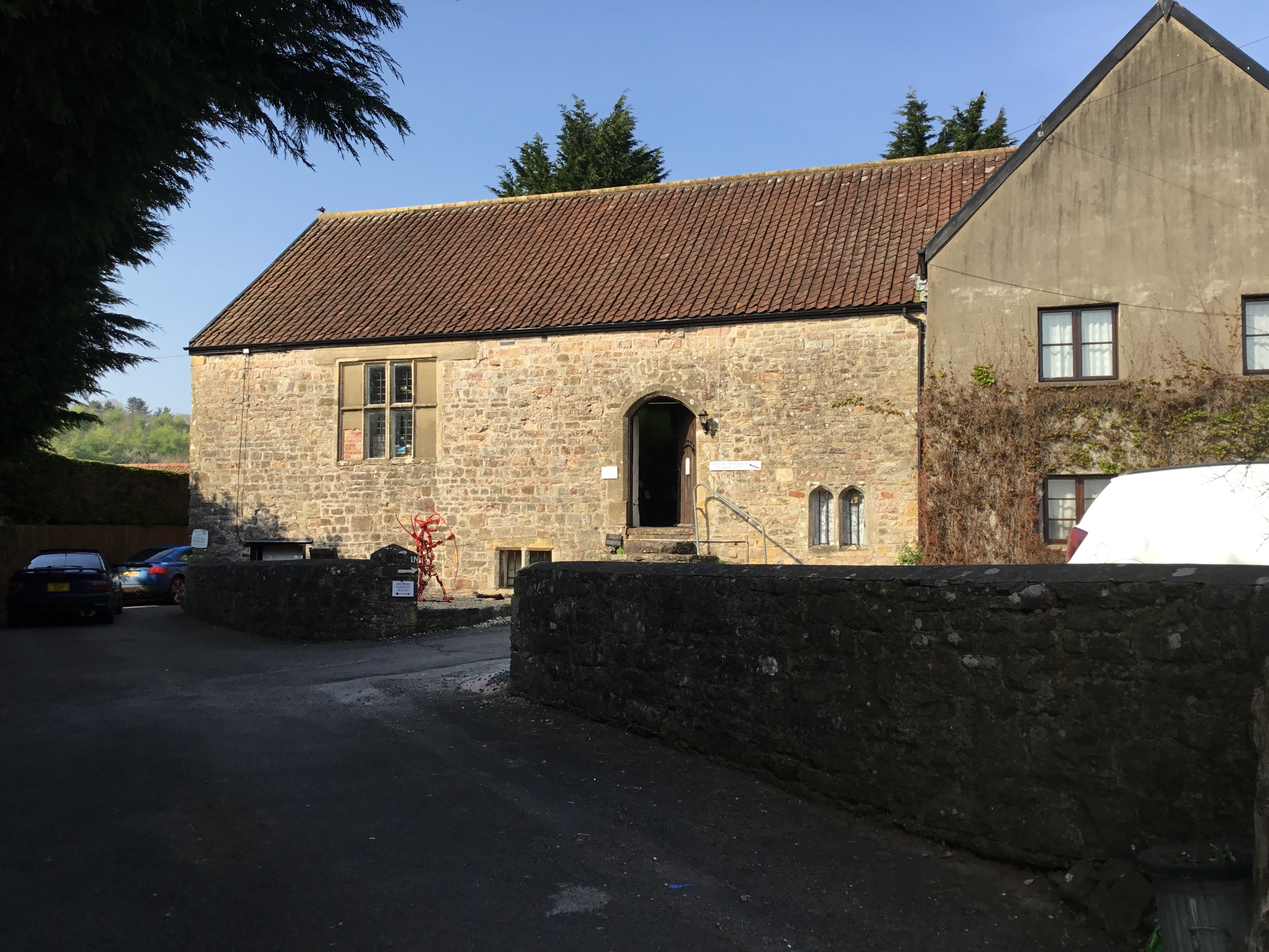
Runston Village Images
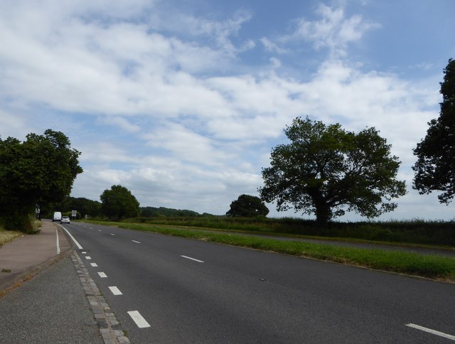
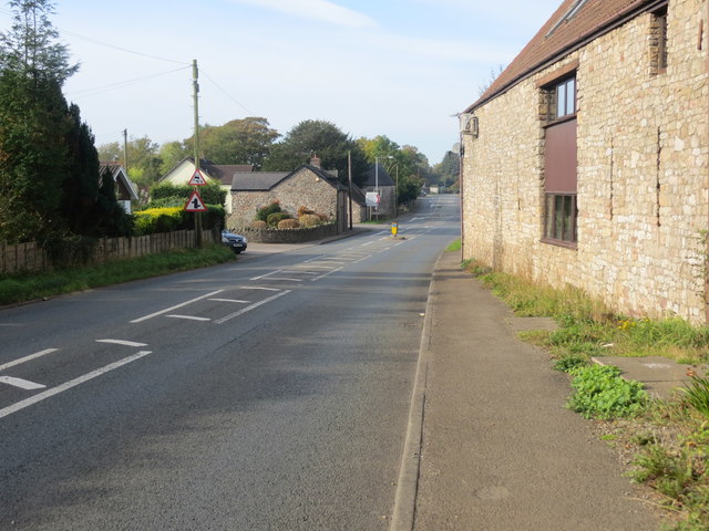
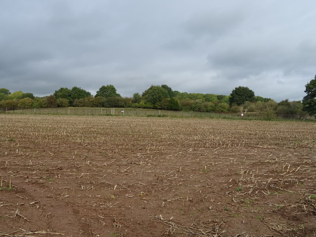
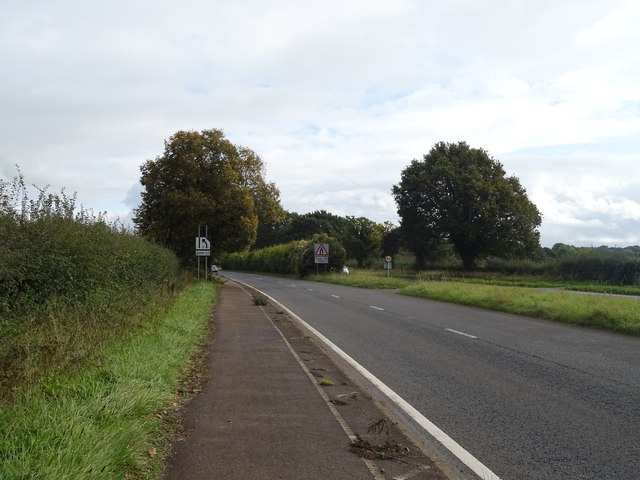
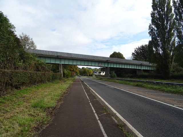
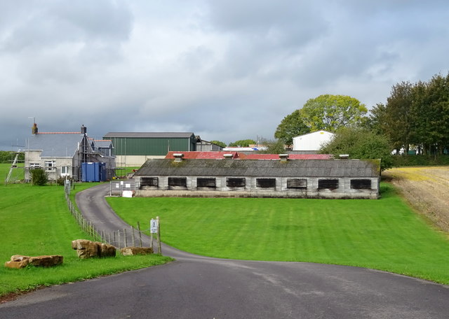
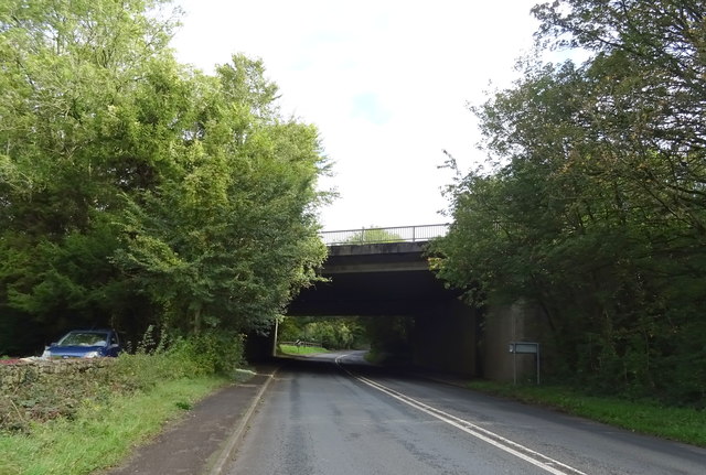
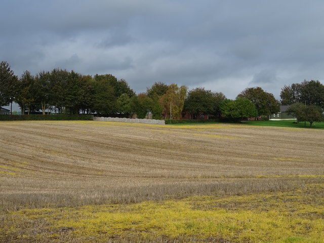
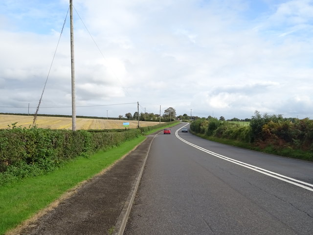
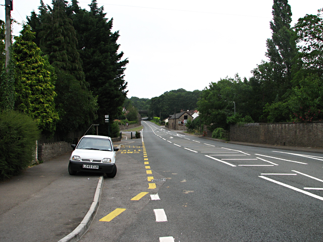
Images are sourced within 2km of 51.62/-2.73 or Grid Reference ST4991. Thanks to Geograph Open Source API. All images are credited.
Runston Village is located at Grid Ref: ST4991 (Lat: 51.62, Lng: -2.73)
Unitary Authority: Monmouthshire
Police Authority: Gwent
What 3 Words
///boardroom.measuring.kinds. Near Caerwent, Monmouthshire
Nearby Locations
Related Wikis

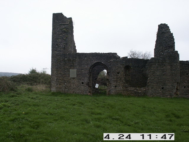
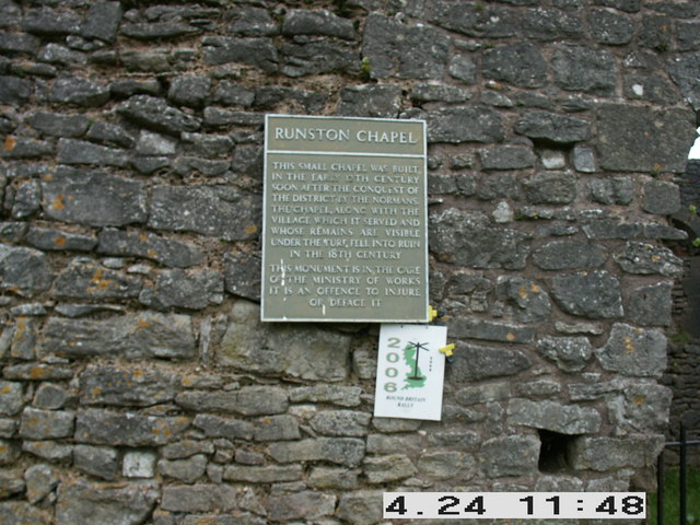
Runston Chapel
Runston Chapel, Mathern, Monmouthshire, Wales, is the ruin of a chapel dating back to the early 12th century. It is the only remaining visible remnant...
Manor Farmhouse, Crick
Manor Farmhouse, or Crick Manor, Crick, Monmouthshire is a late medieval manor house dating from the 15th century. The buildings comprise a chapel, of...

Crick, Monmouthshire
Crick (Welsh: Crug) is a small village or hamlet in the Welsh county of Monmouthshire, United Kingdom. It is located on the A48 road 1 mile north of the...

Mathern Mill
Mathern Mill, Mathern, Monmouthshire is a watermill dating from either the late 18th or early 19th centuries. It continued in use as a functioning mill...
Nearby Amenities
Located within 500m of 51.62,-2.73Have you been to Runston Village?
Leave your review of Runston Village below (or comments, questions and feedback).