Woodcocks Hill
Hill, Mountain in Monmouthshire
Wales
Woodcocks Hill
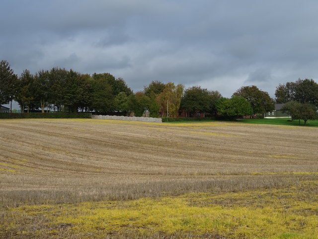
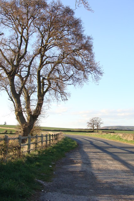
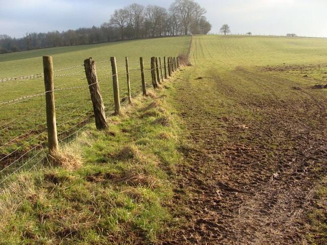
Woodcocks Hill is a prominent natural landmark located in the county of Monmouthshire in southeastern Wales. As its name suggests, the hill is characterized by its distinctive hilly terrain and is renowned for its outstanding natural beauty and breathtaking panoramic views.
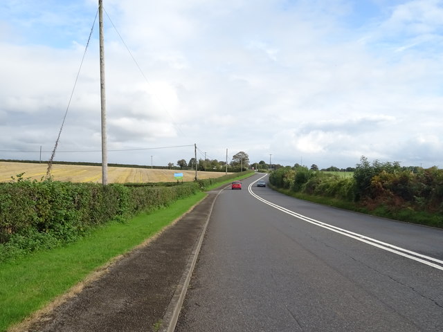
Situated near the town of Usk, Woodcocks Hill stands at an elevation of approximately 291 meters (955 feet) above sea level. It forms part of the picturesque landscape of the Monmouthshire countryside and is a popular destination for hikers, nature enthusiasts, and photographers.
The hill is covered in dense vegetation, predominantly composed of deciduous trees such as oak and beech. This lush woodland provides a diverse habitat for a range of wildlife, including various bird species and small mammals. The presence of mature trees also adds to the overall charm and tranquility of the area.
Woodcocks Hill offers a network of well-maintained walking trails, allowing visitors to explore the hill and soak in the stunning surroundings. These paths lead to its summit, where visitors are rewarded with breathtaking panoramic views of the surrounding countryside, including the rolling hills, meandering rivers, and picturesque farmland.
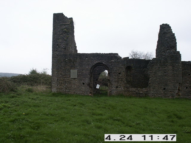
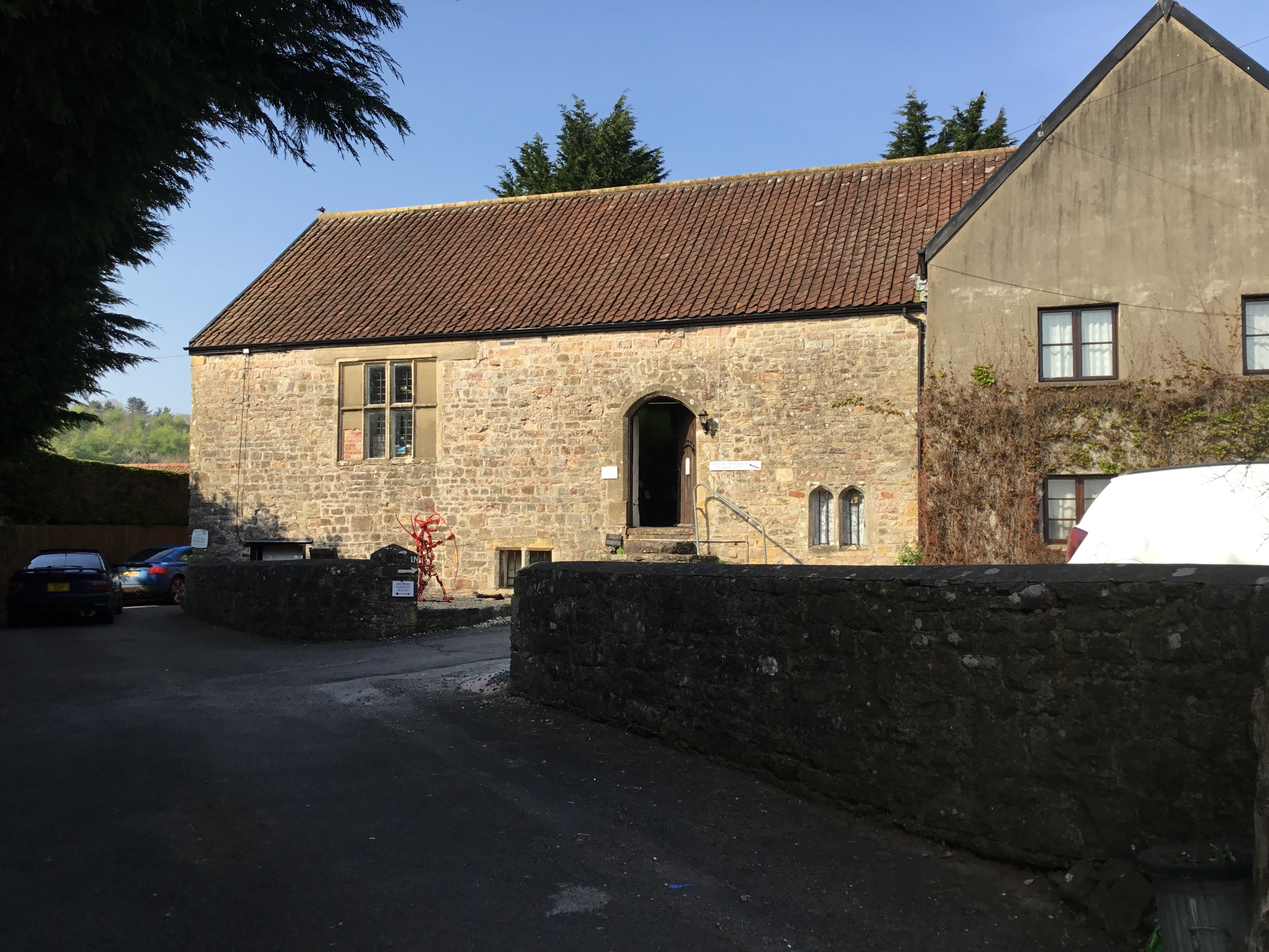
The hill also holds historical significance, with ancient burial mounds and remnants of prehistoric settlements found in its vicinity. These archaeological features contribute to the rich cultural heritage of the area and add an intriguing aspect to the overall experience of visiting Woodcocks Hill.
In conclusion, Woodcocks Hill in Monmouthshire is a natural gem that combines outstanding natural beauty, diverse wildlife, and historical significance. It offers visitors a chance to immerse themselves in nature, enjoy scenic walks, and marvel at the breathtaking vistas that this picturesque hill provides.
If you have any feedback on the listing, please let us know in the comments section below.
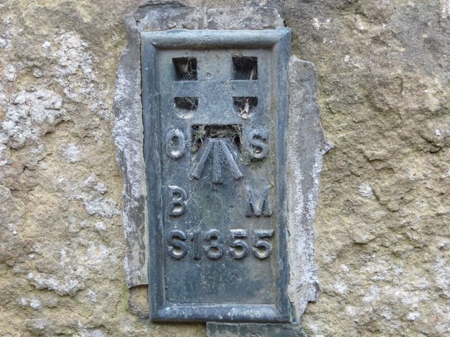
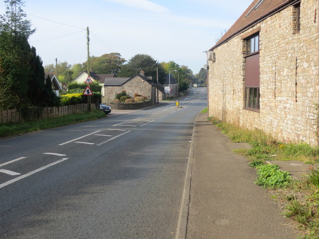
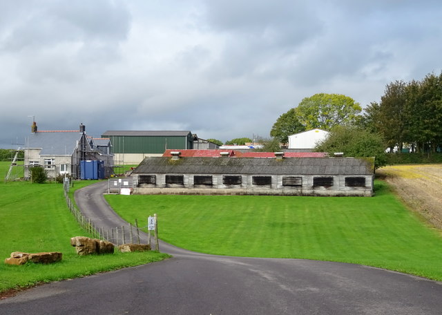
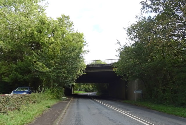
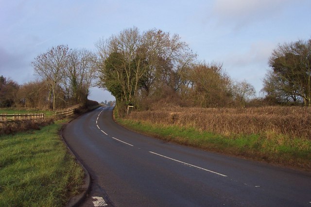
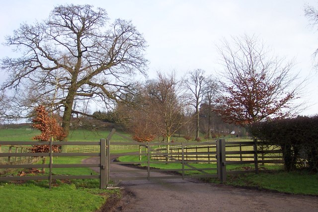
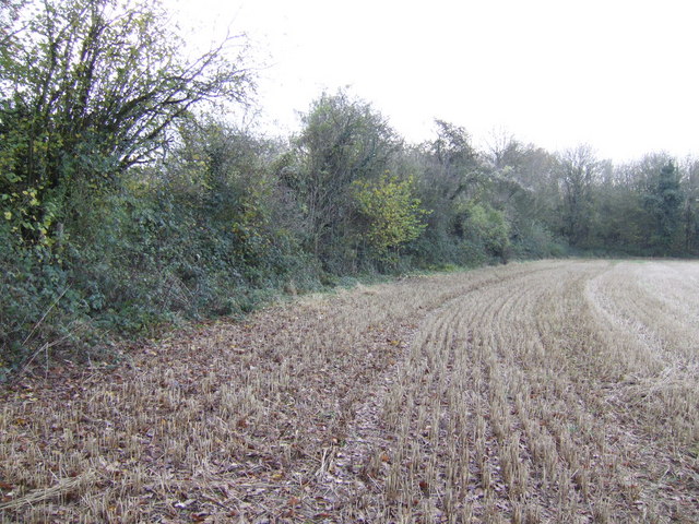
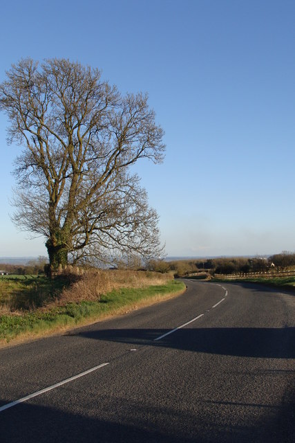
Woodcocks Hill Images
Images are sourced within 2km of 51.624488/-2.7290231 or Grid Reference ST4991. Thanks to Geograph Open Source API. All images are credited.
Woodcocks Hill is located at Grid Ref: ST4991 (Lat: 51.624488, Lng: -2.7290231)
Unitary Authority: Monmouthshire
Police Authority: Gwent
What 3 Words
///amends.bandaged.guesswork. Near Caerwent, Monmouthshire
Nearby Locations
Related Wikis

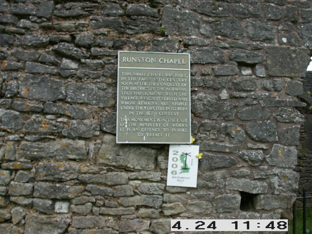
Runston Chapel
Runston Chapel, Mathern, Monmouthshire, Wales, is the ruin of a chapel dating back to the early 12th century. It is the only remaining visible remnant...
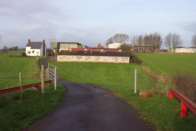
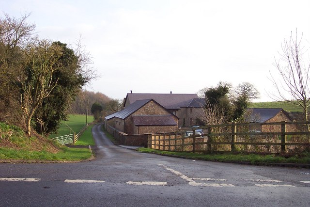
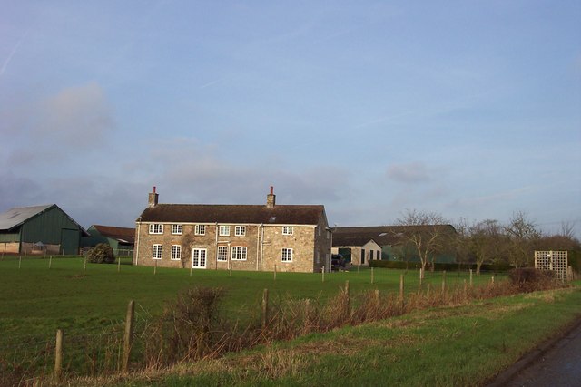
Manor Farmhouse, Crick
Manor Farmhouse, or Crick Manor, Crick, Monmouthshire is a late medieval manor house dating from the 15th century. The buildings comprise a chapel, of...

Mathern Mill
Mathern Mill, Mathern, Monmouthshire is a watermill dating from either the late 18th or early 19th centuries. It continued in use as a functioning mill...

Crick, Monmouthshire
Crick (Welsh: Crug) is a small village or hamlet in the Welsh county of Monmouthshire, United Kingdom. It is located on the A48 road 1 mile north of the...
Nearby Amenities
Located within 500m of 51.624488,-2.7290231Have you been to Woodcocks Hill?
Leave your review of Woodcocks Hill below (or comments, questions and feedback).