Lavant-well Wood
Wood, Forest in Monmouthshire
Wales
Lavant-well Wood
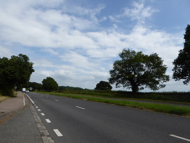
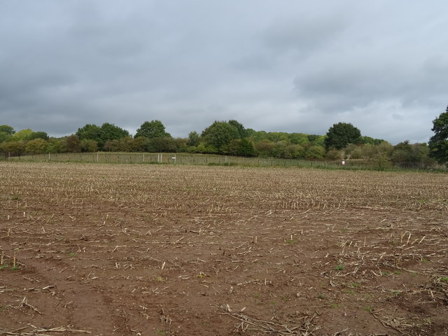
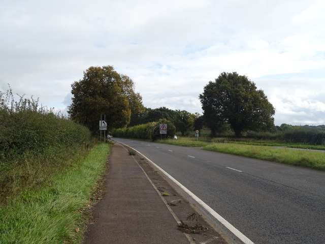
Lavant-well Wood is a picturesque forest located in Monmouthshire, Wales. Spread over an area of approximately 250 acres, this woodland offers a peaceful and tranquil escape from the hustle and bustle of everyday life. The wood is situated near the village of Llanvair Discoed, nestled within the enchanting Wye Valley.
The woodland is predominantly composed of native broadleaf trees, such as oak, beech, and ash, which create a diverse and vibrant ecosystem. The forest floor is covered in a lush carpet of ferns, bluebells, and other wildflowers, enhancing the natural beauty of the surroundings. The towering trees provide ample shade, making it an ideal spot for a leisurely stroll, picnic, or nature photography.
Lavant-well Wood is renowned for its rich biodiversity, with numerous species of birds, insects, and mammals calling it home. Birdwatchers can spot a variety of feathered friends, including woodpeckers, nuthatches, and various species of owls. The woodland is also a haven for wildlife enthusiasts, as it is home to deer, foxes, badgers, and even the elusive red squirrels.
The wood is crisscrossed by a network of well-maintained footpaths, allowing visitors to explore its hidden gems at their own pace. There are also designated picnic areas and benches where visitors can relax and soak in the peaceful ambiance. Lavant-well Wood truly offers a haven for nature lovers, providing a wonderful opportunity to reconnect with the natural world and experience the beauty of the Welsh countryside.
If you have any feedback on the listing, please let us know in the comments section below.
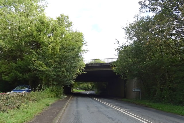
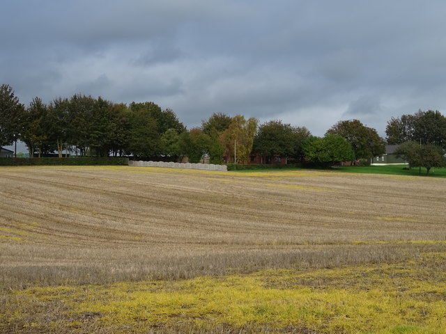
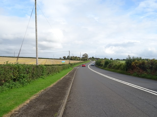
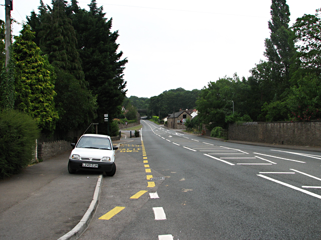
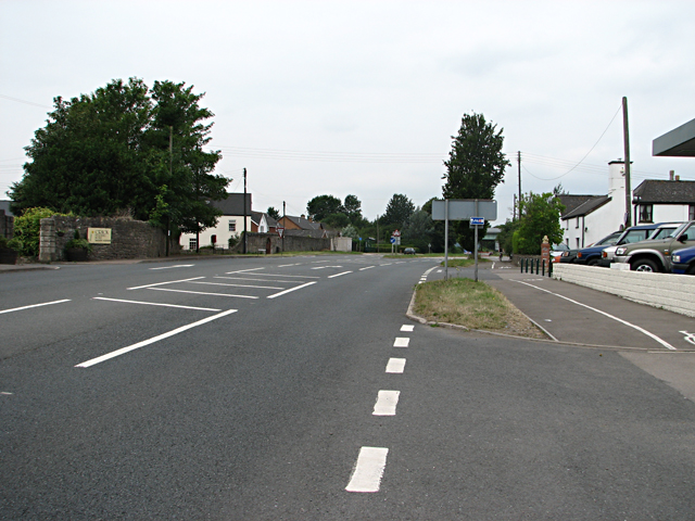
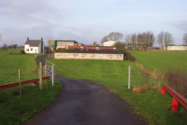
Lavant-well Wood Images
Images are sourced within 2km of 51.619714/-2.7261155 or Grid Reference ST4991. Thanks to Geograph Open Source API. All images are credited.
Lavant-well Wood is located at Grid Ref: ST4991 (Lat: 51.619714, Lng: -2.7261155)
Unitary Authority: Monmouthshire
Police Authority: Gwent
What 3 Words
///stuck.filer.searcher. Near Caerwent, Monmouthshire
Nearby Locations
Related Wikis

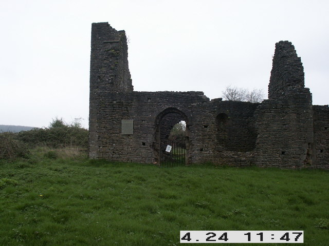
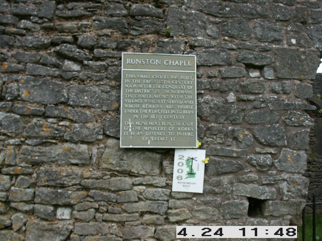
Runston Chapel
Runston Chapel, Mathern, Monmouthshire, Wales, is the ruin of a chapel dating back to the early 12th century. It is the only remaining visible remnant...
Manor Farmhouse, Crick
Manor Farmhouse, or Crick Manor, Crick, Monmouthshire is a late medieval manor house dating from the 15th century. The buildings comprise a chapel, of...

Mathern Mill
Mathern Mill, Mathern, Monmouthshire is a watermill dating from either the late 18th or early 19th centuries. It continued in use as a functioning mill...

Crick, Monmouthshire
Crick (Welsh: Crug) is a small village or hamlet in the Welsh county of Monmouthshire, United Kingdom. It is located on the A48 road 1 mile north of the...

St Pierre, Monmouthshire
St Pierre is a former parish and hamlet in Monmouthshire, south east Wales, 3 miles (4.8 km) south west of Chepstow and adjacent to the Severn Estuary...
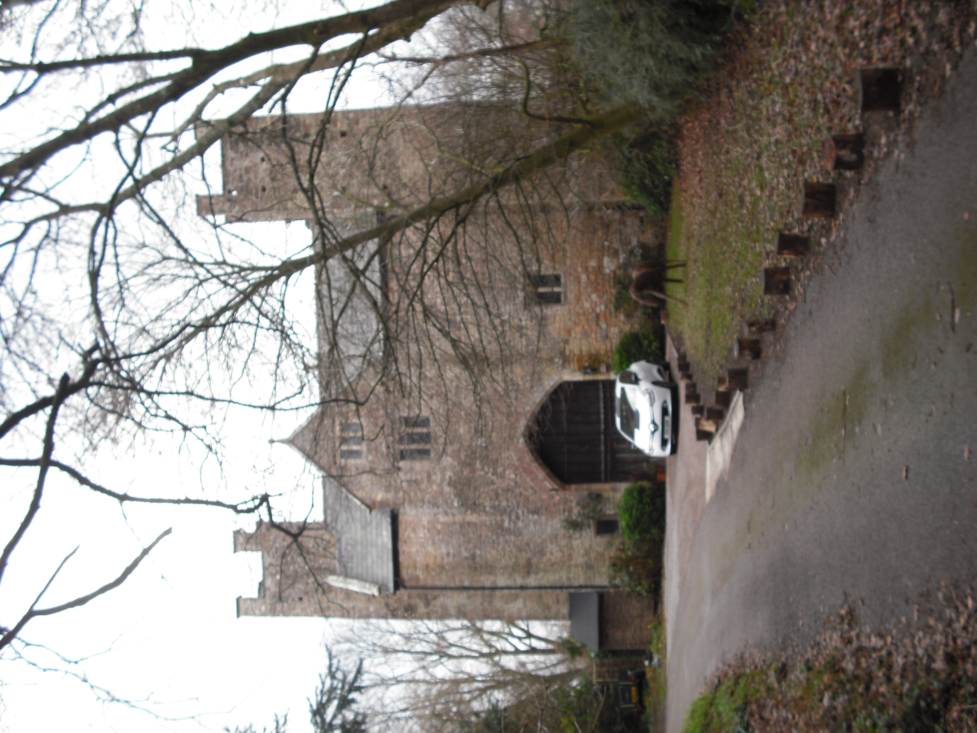
St Pierre Hotel Gatehouse
The Gatehouse and attached range, at the St Pierre Hotel, St Pierre, Mathern, Monmouthshire are the most significant remains of the mansion built by the...
Moynes Court
Moynes Court is a Grade II* listed building in the village of Mathern, Monmouthshire, Wales, about 3 miles (4.8 km) south west of Chepstow. An earlier...
Pwllmeyric
Pwllmeyric (Welsh: Pwllmeurig) is a small village in Monmouthshire, Wales, located 1 mile south west of Chepstow, on the A48 road within the parish of...
Nearby Amenities
Located within 500m of 51.619714,-2.7261155Have you been to Lavant-well Wood?
Leave your review of Lavant-well Wood below (or comments, questions and feedback).