Priest Wood

Wood, Forest in Monmouthshire

Wales

Priest Wood

The A48 between Caerwent and Crick
The A48 between Caerwent and Crick Credit: Eirian Evans

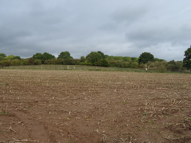
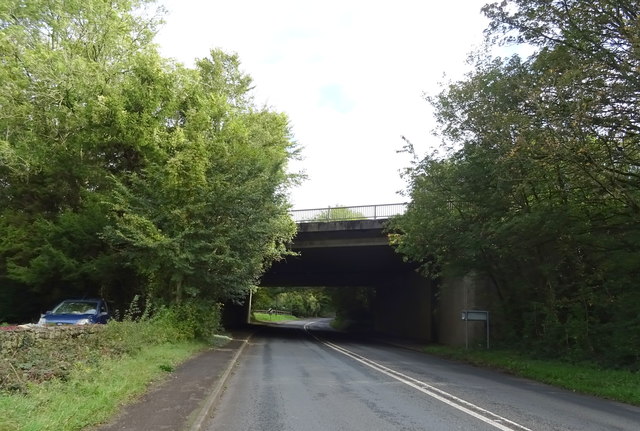
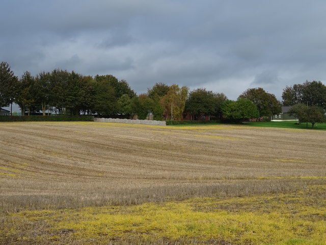
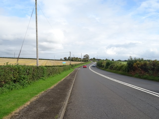
Priest Wood is a picturesque forest located in Monmouthshire, Wales. Covering an area of approximately 50 acres, this enchanting woodland is a popular destination for nature lovers and outdoor enthusiasts. The forest is situated near the town of Abergavenny and is easily accessible for visitors.

Priest Wood is characterized by its diverse range of flora and fauna. The forest is home to a variety of tree species, including oak, beech, and birch trees, which create a dense canopy overhead. The forest floor is covered in a carpet of wildflowers, ferns, and mosses, adding to its natural beauty.

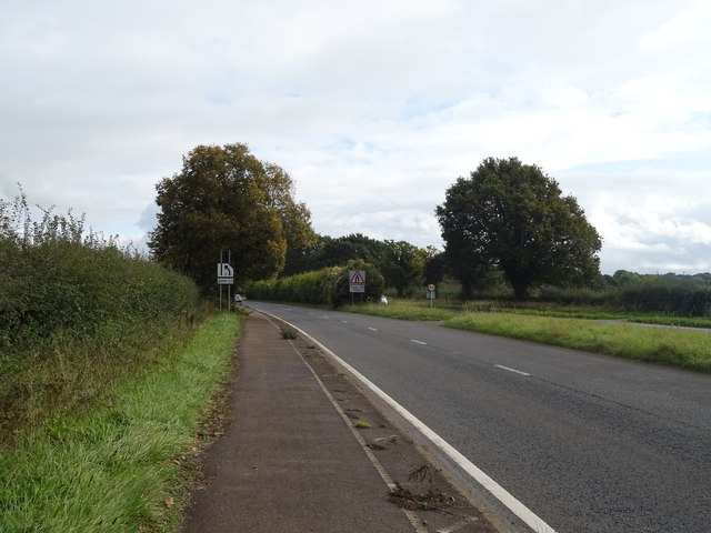
The woodland is crisscrossed with a network of well-maintained trails, making it ideal for walkers, hikers, and joggers. These paths meander through the forest, offering visitors the opportunity to explore its hidden corners and discover its hidden gems. Along the way, there are several viewpoints that provide stunning vistas of the surrounding countryside.

Priest Wood is also home to a rich and diverse wildlife population. Visitors may spot squirrels, foxes, and rabbits darting amongst the trees, while birdwatchers can enjoy the sight of various bird species, including woodpeckers and owls.

The forest has a serene and tranquil atmosphere, making it a perfect place for relaxation and reflection. Visitors can enjoy the peacefulness of the surroundings and escape the hustle and bustle of everyday life.

Overall, Priest Wood in Monmouthshire is a haven for nature enthusiasts, offering a delightful blend of natural beauty, diverse wildlife, and serene surroundings.

If you have any feedback on the listing, please let us know in the comments section below.

Priest Wood Images

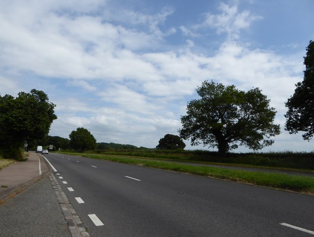
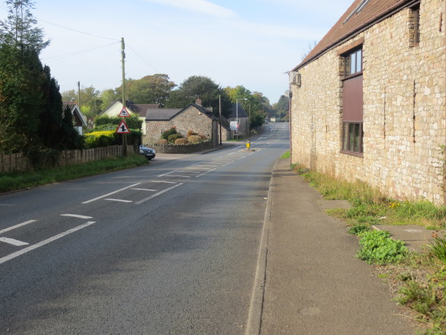
Images are sourced within 2km of 51.617497/-2.732753 or Grid Reference ST4991. Thanks to Geograph Open Source API. All images are credited.

The A48 between Caerwent and Crick
Ordnance Survey Flush Bracket S1355 This can be found on the wall of a building beside the A48 in Crick.
For more detail see : <span class="nowrap"><a title="http://www.bench-marks.org.uk/bm15774" rel="nofollow ugc noopener" href="http://www.bench-marks.org.uk/bm15774">Link</a><img style="margin-left:2px;" alt="External link" title="External link - shift click to open in new window" src="https://s1.geograph.org.uk/img/external.png" width="10" height="10"/></span>
Ordnance Survey Flush Bracket S1355
This can be found on the wall of a building beside the A48 in Crick. For more detail see : LinkExternal link
Road (A48) passing through Crick Looking south-westward.
Road (A48) passing through Crick
Looking south-westward.
Ordnance Survey Flush Bracket S1354 This can be found on the wall of a house, Bradbury's - a private dwelling - in Crick.
For more detail see : <span class="nowrap"><a title="http://www.bench-marks.org.uk/bm15775" rel="nofollow ugc noopener" href="http://www.bench-marks.org.uk/bm15775">Link</a><img style="margin-left:2px;" alt="External link" title="External link - shift click to open in new window" src="https://s1.geograph.org.uk/img/external.png" width="10" height="10"/></span>
Ordnance Survey Flush Bracket S1354
This can be found on the wall of a house, Bradbury's - a private dwelling - in Crick. For more detail see : LinkExternal link
Caerwent boundary sign Facing the A48 at the eastern end of Roman Road. Caerwent (Caer-went in Welsh) was founded by the Romans in 75 AD as Venta Silurum, a market town for the defeated Silures tribe.
Caerwent boundary sign
Facing the A48 at the eastern end of Roman Road. Caerwent (Caer-went in Welsh) was founded by the Romans in 75 AD as Venta Silurum, a market town for the defeated Silures tribe.
Start of the 30 zone at the eastern end of Roman Road, Caerwent The 50mph speed limit on the A48 drops to 30mph through the Monmouthshire village.
Start of the 30 zone at the eastern end of Roman Road, Caerwent
The 50mph speed limit on the A48 drops to 30mph through the Monmouthshire village.
Junction of Roman Road and the A48, Caerwent The bilingual name sign shows that ROMAN ROAD is HEOL RUFEINIG in Welsh.
Junction of Roman Road and the A48, Caerwent
The bilingual name sign shows that ROMAN ROAD is HEOL RUFEINIG in Welsh.
Direction sign alongside the A48, Caerwent Turn right into Roman Road for Caerwent East (¼ mile), golf course (at Dewstow) and gardens (1¼ miles) and Caldicot Castle (2 miles).
Direction sign alongside the A48, Caerwent
Turn right into Roman Road for Caerwent East (¼ mile), golf course (at Dewstow) and gardens (1¼ miles) and Caldicot Castle (2 miles).
Eastern end of Roman Road, Caerwent The 30mph speed limit on Roman Road increases to 50mph at the A48 junction.
Eastern end of Roman Road, Caerwent
The 30mph speed limit on Roman Road increases to 50mph at the A48 junction.
Stubble field off the A48, Caer-went
Stubble field near New House Farm Off the A48.
Stubble field near New House Farm
Off the A48.
A48 towards Chepstow Dual carriageway ending shortly.
A48 towards Chepstow
Dual carriageway ending shortly.
Railway bridge over the A48, Crick
Poultry Farm, Bentley Green
M48 motorway bridge over the A48
Stubble field, Bentley Green
A48 towards Chepstow
Site of the Whirly Holes, Caerwent Vast springs of fresh water used to emerge here on the banks of the Neddern Brook. Then on 16th October 1879 the driving of the Severn Tunnel breached a water-filled cave, flooding the tunnel and causing the Whirly Holes to dry up. All that can be seen now are two shallow depressions on either side of the river, which here is in flood. The larger, on the north bank, can be seen in front of the pair of Lombardy Poplars.
Site of the Whirly Holes, Caerwent
Vast springs of fresh water used to emerge here on the banks of the Neddern Brook. Then on 16th October 1879 the driving of the Severn Tunnel breached a water-filled cave, flooding the tunnel and causing the Whirly Holes to dry up. All that can be seen now are two shallow depressions on either side of the river, which here is in flood. The larger, on the north bank, can be seen in front of the pair of Lombardy Poplars.
Show me another place!

Priest Wood is located at Grid Ref: ST4991 (Lat: 51.617497, Lng: -2.732753)

Unitary Authority: Monmouthshire

Police Authority: Gwent

What 3 Words

///lingering.keepers.phones. Near Caerwent, Monmouthshire

Related Wikis

Runston Chapel

Runston Chapel, Mathern, Monmouthshire, Wales, is the ruin of a chapel dating back to the early 12th century. It is the only remaining visible remnant...

Manor Farmhouse, Crick

Manor Farmhouse, or Crick Manor, Crick, Monmouthshire is a late medieval manor house dating from the 15th century. The buildings comprise a chapel, of...

Crick, Monmouthshire

Crick (Welsh: Crug) is a small village or hamlet in the Welsh county of Monmouthshire, United Kingdom. It is located on the A48 road 1 mile north of the...

Nedern Brook Wetlands

The Nedern Brook Wetland is a flood meadow habitat near Caldicot, Monmouthshire, Wales, designated since 1988 as a Site of Special Scientific Interest...

Nearby Amenities

Located within 500m of 51.617497,-2.732753
Power: pole
Lat/Long: 51.6209409/-2.7323663
Power: pole
Lat/Long: 51.6199667/-2.7271763
Power: pole
Lat/Long: 51.6192955/-2.7290967
Power: pole
Lat/Long: 51.6189608/-2.7300516
Power: pole
Lat/Long: 51.6171156/-2.7320579
Power: pole
Lat/Long: 51.6157965/-2.7338979
Power: pole
Lat/Long: 51.6148289/-2.7345818
Power: pole
Lat/Long: 51.6198718/-2.7320498
Power: pole
Lat/Long: 51.6191007/-2.7317628
Power: pole
Lat/Long: 51.6184729/-2.7315456
Power: pole
Lat/Long: 51.6179016/-2.7309984
Power: pole
Lat/Long: 51.6172921/-2.7304459
Power: pole
Lat/Long: 51.6162512/-2.7290082
Power: pole
Lat/Long: 51.6154951/-2.7279916
Power: pole
Lat/Long: 51.6184212/-2.7318822
The data included in this document is from www.openstreetmap.org. The data is made available under ODbL.

Have you been to Priest Wood?

Leave your review of Priest Wood below (or comments, questions and feedback).