Pin Howe

Heritage Site in Yorkshire Hambleton

England

Pin Howe

Ford at Scugdale This is the first of two fords on the Scugdale Beck at Piper Grain.
Ford at Scugdale Credit: John Walton

Pin Howe is a historic site located in the county of Yorkshire, England. It is renowned as a significant heritage site due to its archaeological importance and rich history. Situated near the village of Lockton, Pin Howe is a circular earthwork that dates back to the Late Bronze Age, approximately 3,000 years ago.

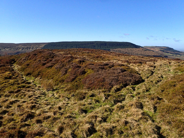
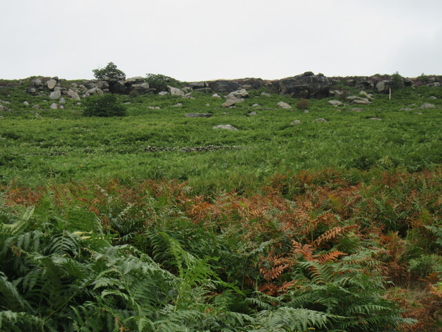
The site consists of a large, circular ditch with an inner bank, forming a distinctive rampart. The ditch is approximately 3 meters deep and 8 meters wide, while the bank measures around 5 meters in height. The earthwork encloses an area of around 1.3 hectares, providing a glimpse into the lives and activities of the Bronze Age inhabitants.

Excavations at Pin Howe have revealed traces of occupation, including pottery fragments, flint tools, and animal bones. These findings suggest that the site was once a settlement or an enclosure, possibly used for domestic or defensive purposes.

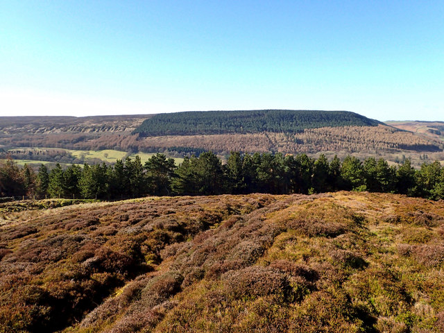
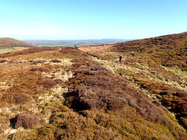
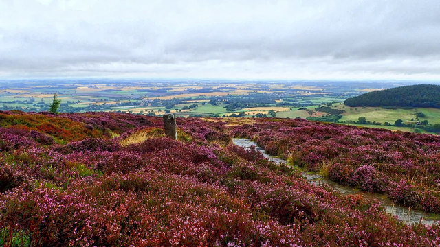
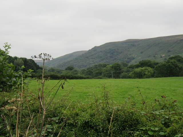
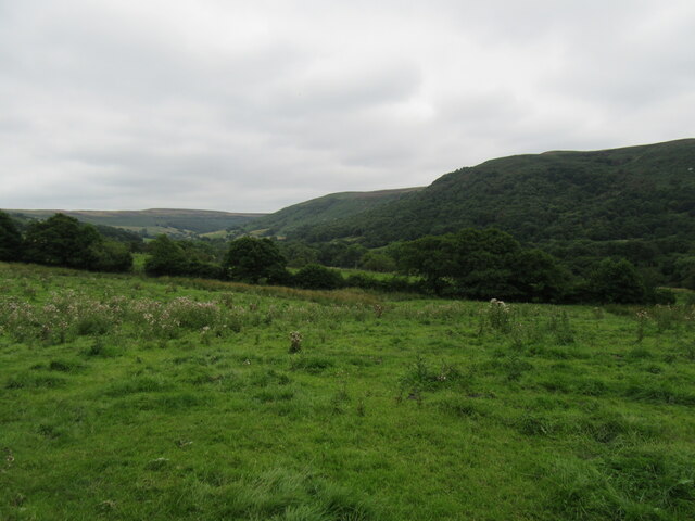
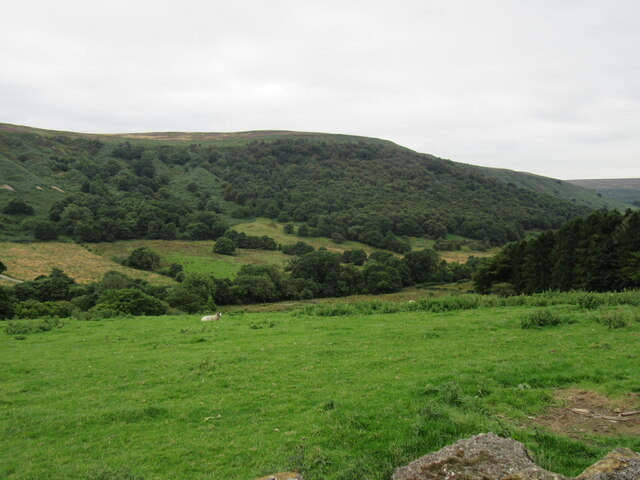
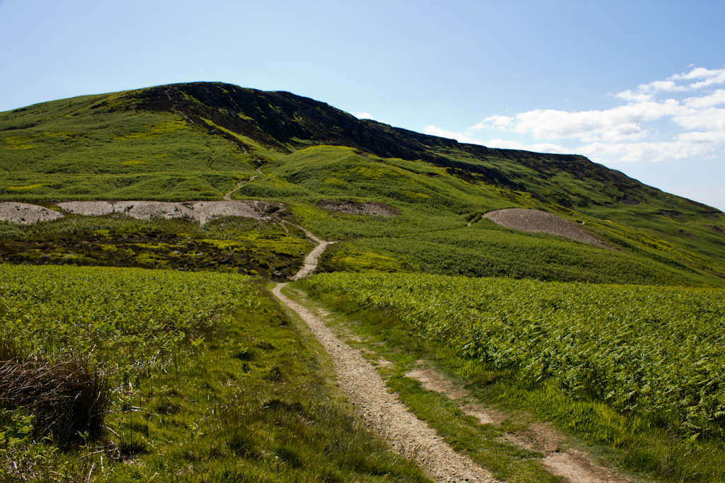
Pin Howe’s strategic location on high ground offers panoramic views of the surrounding landscape, providing an advantageous position for observation and defense. The site's elevated position also offers a unique perspective on the nearby North York Moors National Park.

Today, Pin Howe stands as a testament to Yorkshire's ancient past and serves as an important educational resource, attracting visitors interested in archaeology, history, and prehistoric culture. The site is managed by local authorities and offers guided tours, allowing visitors to explore and learn about the fascinating Bronze Age period.

If you have any feedback on the listing, please let us know in the comments section below.
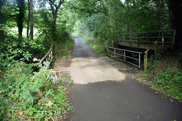
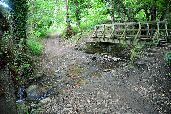
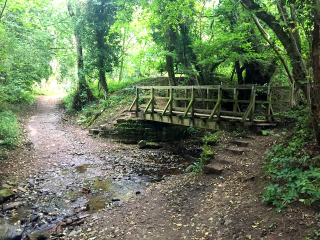
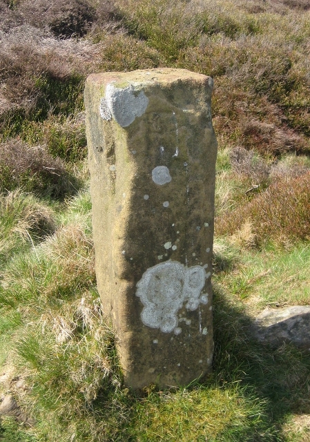
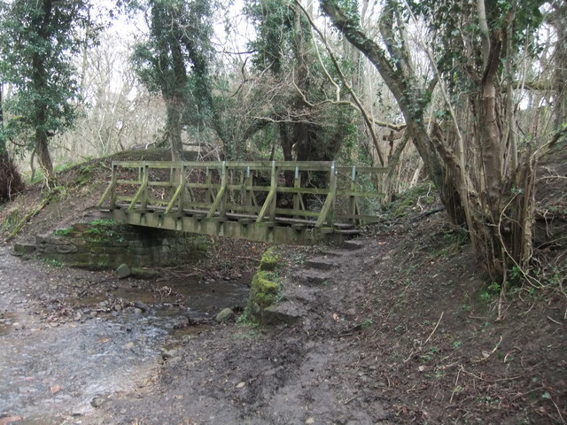
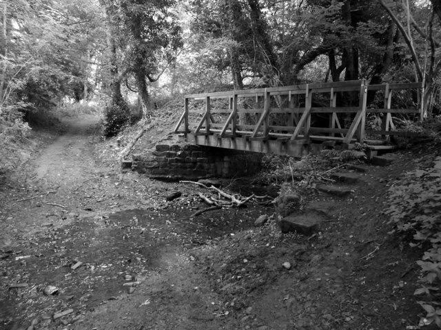
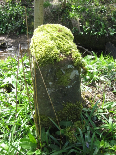
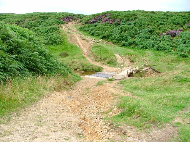
Pin Howe Images

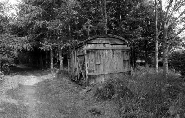
Images are sourced within 2km of 54.388/-1.222 or Grid Reference SE5099. Thanks to Geograph Open Source API. All images are credited.

Ford at Scugdale This is the first of two fords on the Scugdale Beck at Piper Grain.
Ford at Scugdale
This is the first of two fords on the Scugdale Beck at Piper Grain.
Piper Beck Ford This ford is found on the Piper Beck at Scugdale. The track is part of the Cleveland Way.
Piper Beck Ford
This ford is found on the Piper Beck at Scugdale. The track is part of the Cleveland Way.
Live Moor Hillfort Quoted from <span class="nowrap"><a title="http://www.themodernantiquarian.com/site/4314/live_moor_hill_fort_whorlton.html" rel="nofollow ugc noopener" href="http://www.themodernantiquarian.com/site/4314/live_moor_hill_fort_whorlton.html">Link</a><img style="margin-left:2px;" alt="External link" title="External link - shift click to open in new window" src="https://s1.geograph.org.uk/img/external.png" width="10" height="10"/></span>

"A previously unrecorded promontory fort was identified by D. Smith on air photographs and later surveyed by him and G. W. Goodall. A single rampart with external ditch extends across the west-facing spur of Live Moor to enclose an area of approximately 2 acres known as Knolls End. Where best preserved the rampart is 7.3m wide and 2.3m high externally and .5m internally, while the ditch is up to 1.5m wide and .6m deep with a fragmentary counter scarp bank. The work has been mutilated by quarrying and associated trackways, but a gap in the rampart and ditch at NZ 49640126 probably represents an original entrance" YAS 51, 1978.

And from Prehistoric and Roman Archaeology of North-East Yorkshire edited by D A Spratt, 1990

"The small promontory fort at Live Moor (0.8 ha) stands on the north-west corner of the moors. It has two visible ramparts, an earlier one just inside the outer, later one at its south-western end. There is a central entrance, whence a hollow- way runs up the hill slope to the Live Moor cairnfield. This is the highest of any of these early field systems (315m) and as such is arguably Bronze Age, unlikely to persist into the Iron Age, which might suggest an early date for the fort. The fort, only recently discovered (Smith, 1979), has not been excavated, but shows no signs of hut structures."
Live Moor Hillfort
Quoted from LinkExternal link "A previously unrecorded promontory fort was identified by D. Smith on air photographs and later surveyed by him and G. W. Goodall. A single rampart with external ditch extends across the west-facing spur of Live Moor to enclose an area of approximately 2 acres known as Knolls End. Where best preserved the rampart is 7.3m wide and 2.3m high externally and .5m internally, while the ditch is up to 1.5m wide and .6m deep with a fragmentary counter scarp bank. The work has been mutilated by quarrying and associated trackways, but a gap in the rampart and ditch at NZ 49640126 probably represents an original entrance" YAS 51, 1978. And from Prehistoric and Roman Archaeology of North-East Yorkshire edited by D A Spratt, 1990 "The small promontory fort at Live Moor (0.8 ha) stands on the north-west corner of the moors. It has two visible ramparts, an earlier one just inside the outer, later one at its south-western end. There is a central entrance, whence a hollow- way runs up the hill slope to the Live Moor cairnfield. This is the highest of any of these early field systems (315m) and as such is arguably Bronze Age, unlikely to persist into the Iron Age, which might suggest an early date for the fort. The fort, only recently discovered (Smith, 1979), has not been excavated, but shows no signs of hut structures."
Live Moor Hillfort  - entrance on the right Quoted from <span class="nowrap"><a title="http://www.themodernantiquarian.com/site/4314/live_moor_hill_fort_whorlton.html" rel="nofollow ugc noopener" href="http://www.themodernantiquarian.com/site/4314/live_moor_hill_fort_whorlton.html">Link</a><img style="margin-left:2px;" alt="External link" title="External link - shift click to open in new window" src="https://s1.geograph.org.uk/img/external.png" width="10" height="10"/></span>

"A previously unrecorded promontory fort was identified by D. Smith on air photographs and later surveyed by him and G. W. Goodall. A single rampart with external ditch extends across the west-facing spur of Live Moor to enclose an area of approximately 2 acres known as Knolls End. Where best preserved the rampart is 7.3m wide and 2.3m high externally and .5m internally, while the ditch is up to 1.5m wide and .6m deep with a fragmentary counter scarp bank. The work has been mutilated by quarrying and associated trackways, but a gap in the rampart and ditch at NZ 49640126 probably represents an original entrance" YAS 51, 1978.

And from Prehistoric and Roman Archaeology of North-East Yorkshire edited by D A Spratt, 1990

"The small promontory fort at Live Moor (0.8 ha) stands on the north-west corner of the moors. It has two visible ramparts, an earlier one just inside the outer, later one at its south-western end. There is a central entrance, whence a hollow- way runs up the hill slope to the Live Moor cairnfield. This is the highest of any of these early field systems (315m) and as such is arguably Bronze Age, unlikely to persist into the Iron Age, which might suggest an early date for the fort. The fort, only recently discovered (Smith, 1979), has not been excavated, but shows no signs of hut structures."
Live Moor Hillfort - entrance on the right
Quoted from LinkExternal link "A previously unrecorded promontory fort was identified by D. Smith on air photographs and later surveyed by him and G. W. Goodall. A single rampart with external ditch extends across the west-facing spur of Live Moor to enclose an area of approximately 2 acres known as Knolls End. Where best preserved the rampart is 7.3m wide and 2.3m high externally and .5m internally, while the ditch is up to 1.5m wide and .6m deep with a fragmentary counter scarp bank. The work has been mutilated by quarrying and associated trackways, but a gap in the rampart and ditch at NZ 49640126 probably represents an original entrance" YAS 51, 1978. And from Prehistoric and Roman Archaeology of North-East Yorkshire edited by D A Spratt, 1990 "The small promontory fort at Live Moor (0.8 ha) stands on the north-west corner of the moors. It has two visible ramparts, an earlier one just inside the outer, later one at its south-western end. There is a central entrance, whence a hollow- way runs up the hill slope to the Live Moor cairnfield. This is the highest of any of these early field systems (315m) and as such is arguably Bronze Age, unlikely to persist into the Iron Age, which might suggest an early date for the fort. The fort, only recently discovered (Smith, 1979), has not been excavated, but shows no signs of hut structures."
Scugdale Beck Weir Scugdale takes its name from the Danish skygger meaning to overshadow, referring  to the sheltered nature of the dale.

And the waters of the beck that flows down the dale must have some mysterious properties, for it was in this secluded valley that Harry Cooper was brought up. At a height of 8 feet 6 inches in height and weighing 29 stone Harry was reputed to be the tallest man in the world. He toured America as a star of in Barnum’s circus. He died about 1900 and is buried in Calgary, Canada.
Scugdale Beck Weir
Scugdale takes its name from the Danish skygger meaning to overshadow, referring to the sheltered nature of the dale. And the waters of the beck that flows down the dale must have some mysterious properties, for it was in this secluded valley that Harry Cooper was brought up. At a height of 8 feet 6 inches in height and weighing 29 stone Harry was reputed to be the tallest man in the world. He toured America as a star of in Barnum’s circus. He died about 1900 and is buried in Calgary, Canada.
Minor road in Scugdale The road is seen looking east; it ends as a public road about two kilometres distant at Scugdale Hall.
Minor road in Scugdale
The road is seen looking east; it ends as a public road about two kilometres distant at Scugdale Hall.
On Faceby Bank There’s only a week or two of the purple haze so I have to make the most of the heather, providing some colour on a wet morning when the horizon is lost to the mist. The view is down to Swainby with wooded Whorl Hill on the right.

From my blog <span class="nowrap"><a title="http://www.fhithich.uk/?p=20075" rel="nofollow ugc noopener" href="http://www.fhithich.uk/?p=20075">Link</a><img style="margin-left:2px;" alt="External link" title="External link - shift click to open in new window" src="https://s1.geograph.org.uk/img/external.png" width="10" height="10"/></span>
On Faceby Bank
There’s only a week or two of the purple haze so I have to make the most of the heather, providing some colour on a wet morning when the horizon is lost to the mist. The view is down to Swainby with wooded Whorl Hill on the right. From my blog LinkExternal link
Ford on Piper Beck
Ford on Piper Beck
Old Boundary Marker on Round Hill by the Cleveland Way Boundary Marker on Round Hill, by the Cleveland Way, in parish of Faceby (Hambleton District).

Surveyed

Milestone Society National ID: YN_FACWHO04bm
Old Boundary Marker on Round Hill by the Cleveland Way
Boundary Marker on Round Hill, by the Cleveland Way, in parish of Faceby (Hambleton District). Surveyed Milestone Society National ID: YN_FACWHO04bm
Footbridge and ford
Footbridge and ford
Ford and footbridge over Piper Beck This track is part of The Cleveland Way.
Ford and footbridge over Piper Beck
This track is part of The Cleveland Way.
A shed alongside The Cleveland Way near Huthwaite Green The Cleveland Way runs 110 miles (177 km) between Helmsley and the Brigg at Filey, skirting the North York Moors National Park. Its highest point is at Urra Moor, 1,489 ft (454 m).
A shed alongside The Cleveland Way near Huthwaite Green
The Cleveland Way runs 110 miles (177 km) between Helmsley and the Brigg at Filey, skirting the North York Moors National Park. Its highest point is at Urra Moor, 1,489 ft (454 m).
Heathwaite view in Scugdale Looking SE from the road junction at Heathwaite.
Heathwaite view in Scugdale
Looking SE from the road junction at Heathwaite.
Scugdale near Sparrow Hall Looking SE from the road.
Scugdale near Sparrow Hall
Looking SE from the road.
Near Scugdale Road Looking SW from the road.
Near Scugdale Road
Looking SW from the road.
Barker's Crags Looking north up at Barker's Crags from the track that climbs up to Barker's Ridge.
Barker's Crags
Looking north up at Barker's Crags from the track that climbs up to Barker's Ridge.
Old Guide Stone, Scugdale Beck The guide stone is located between the road and the ford, on the verge on the south west side of the road. Parish of Whorlton (Hambleton District). Carved stone post. Faded inscription on 2 sides.

Milestone Society National ID: YN_XNZ5000
Old Guide Stone, Scugdale Beck
The guide stone is located between the road and the ford, on the verge on the south west side of the road. Parish of Whorlton (Hambleton District). Carved stone post. Faded inscription on 2 sides. Milestone Society National ID: YN_XNZ5000
Show me another place!

Pin Howe is located at Grid Ref: SE5099 (Lat: 54.388, Lng: -1.222)

Division: North Riding

Administrative County: North Yorkshire

District: Hambleton

Police Authority: North Yorkshire

What 3 Words

///massive.forwarded.elsewhere. Near Bilsdale, North Yorkshire

Related Wikis

Cleveland Hills

The Cleveland Hills are a range of hills on the north-west edge of the North York Moors in North Yorkshire, England, overlooking Cleveland and Teesside...

Sheepwash, North Yorkshire

Sheepwash is a popular tourist spot in the North York Moors, North Yorkshire, England. It is located on Cod Beck which flows into Cod Beck Reservoir near...

Whorlton, North Yorkshire

Whorlton is a hamlet and civil parish in the Hambleton District of North Yorkshire, England. It is very near Swainby and the A19, and 6 miles south west...

Faceby

Faceby is a small village and civil parish in North Yorkshire, England. It is at the north-west corner of the North York Moors and near Stokesley. ��2...

Swainby

Swainby is a village in the Hambleton District of North Yorkshire, England. It is situated on the A172 road, 8 miles (13 km) north-east from Northallerton...

Whorlton Castle

Whorlton Castle is a ruined medieval castle situated near the abandoned village of Whorlton (at grid reference NZ4802) in North Yorkshire, England. It...

Cod Beck Reservoir

Cod Beck Reservoir is a man-made lake situated within the North York Moors National Park and near the village of Osmotherley in the English county of North...

Cringle Moor

Cringle Moor (also known as Cranimoor), at 432 m (1,417 ft), is the third-highest hill in the North York Moors, England, and the highest point west of...

Nearby Amenities

Located within 500m of 54.388,-1.222
tumulus
Historic: archaeological_site
Source: NPE
Lat/Long: 54.3862071/-1.2216571
The data included in this document is from www.openstreetmap.org. The data is made available under ODbL.

Have you been to Pin Howe?

Leave your review of Pin Howe below (or comments, questions and feedback).