Pin Hole
Heritage Site in Derbyshire
England
Pin Hole

Pin Hole is a small village located in the county of Derbyshire, in the East Midlands region of England. Situated amidst the picturesque Peak District National Park, Pin Hole is renowned for its rich heritage and natural beauty. The village is nestled in a valley, surrounded by rolling hills and stunning landscapes, making it a popular destination for nature enthusiasts and hikers.
Pin Hole is best known for its historical significance and is home to several heritage sites that attract visitors from far and wide. The most prominent landmark is Pin Hole Hall, a grand country house dating back to the 16th century. This magnificent building showcases stunning architecture and is surrounded by well-manicured gardens, offering a glimpse into the area's aristocratic past.
In addition to Pin Hole Hall, the village boasts a number of charming cottages and stone-built houses, which add to its rustic appeal. The village center features a quaint church, St. Mary's, which dates back to the 12th century and is a testament to the area's religious heritage.
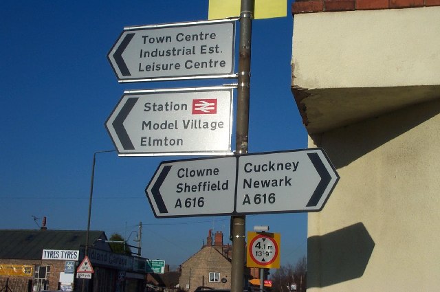
Pin Hole offers a range of activities for visitors to enjoy. The surrounding countryside provides ample opportunities for walking, cycling, and birdwatching, with numerous trails and paths to explore. The village also serves as a gateway to the wider Peak District, allowing visitors to access the park's diverse landscapes, including rugged moorlands, limestone valleys, and picturesque villages.
Overall, Pin Hole is a hidden gem in Derbyshire, offering visitors a chance to immerse themselves in history, experience the beauty of the Peak District, and enjoy a tranquil getaway in the heart of the English countryside.
If you have any feedback on the listing, please let us know in the comments section below.
Pin Hole Images
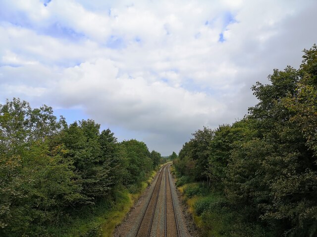
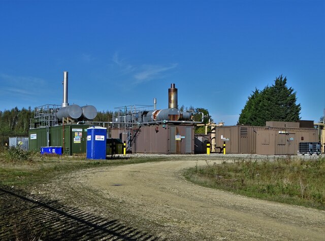
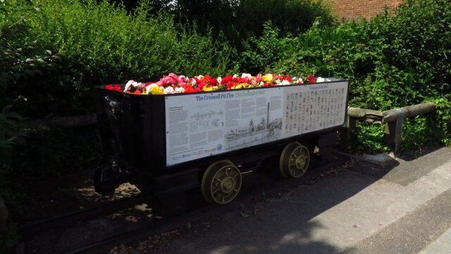
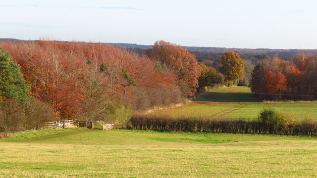
Images are sourced within 2km of 53.265/-1.198 or Grid Reference SK5374. Thanks to Geograph Open Source API. All images are credited.


Pin Hole is located at Grid Ref: SK5374 (Lat: 53.265, Lng: -1.198)
What 3 Words
///compacts.finest.conjured. Near Creswell, Derbyshire
Nearby Locations
Related Wikis

Creswell Crags
Creswell Crags is an enclosed limestone gorge on the border between Derbyshire and Nottinghamshire, England, near the villages of Creswell and Whitwell...
Creswell, Derbyshire
Creswell is a former mining village located in the Bolsover district of Derbyshire, England. At the 2011 Census population details were included in the...
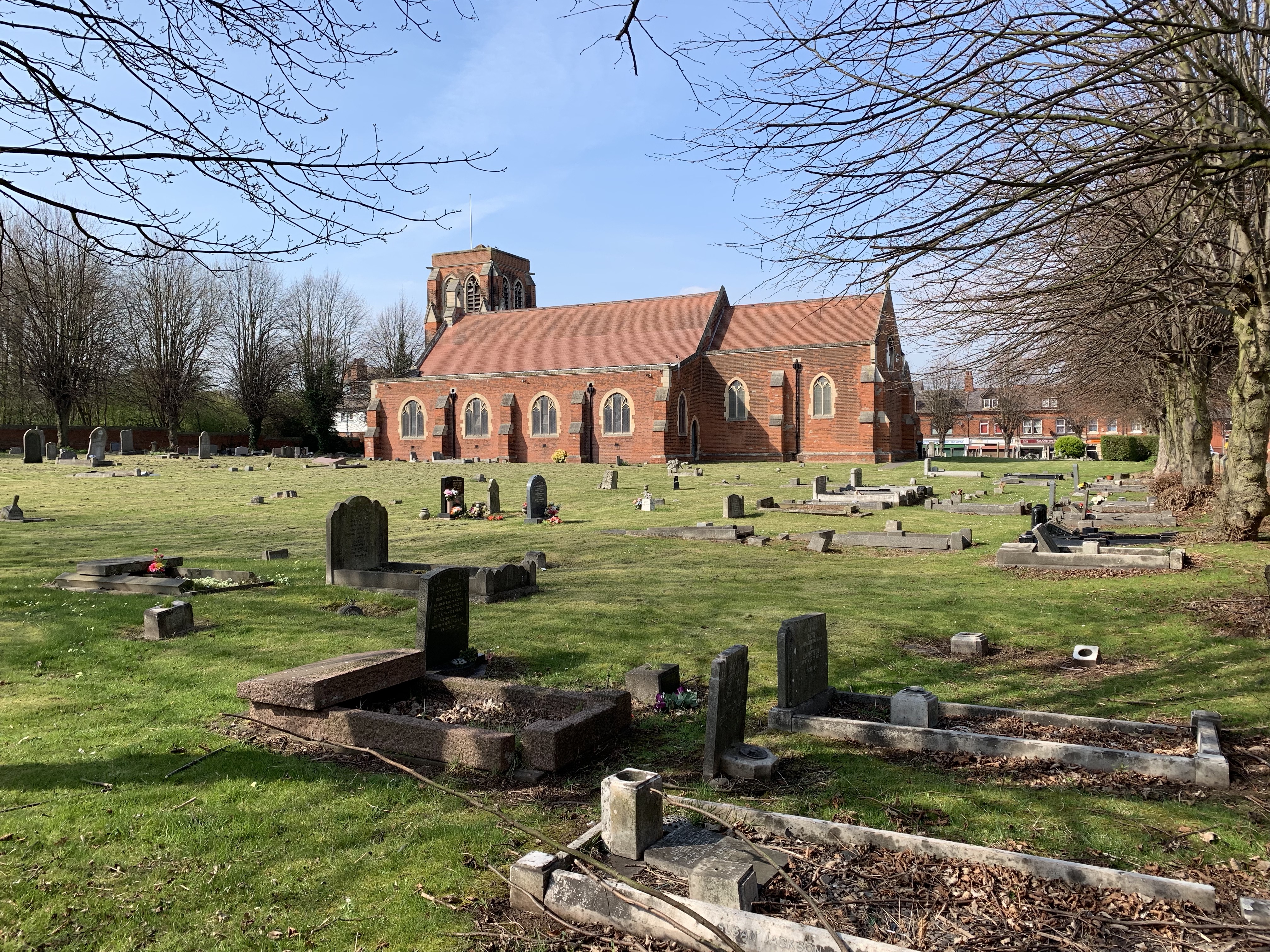
St Mary Magdalene's Church, Creswell
St Mary Magdalene's Church, Creswell is a Grade II listed parish church in the Church of England in Creswell, Derbyshire. == History == The foundation...
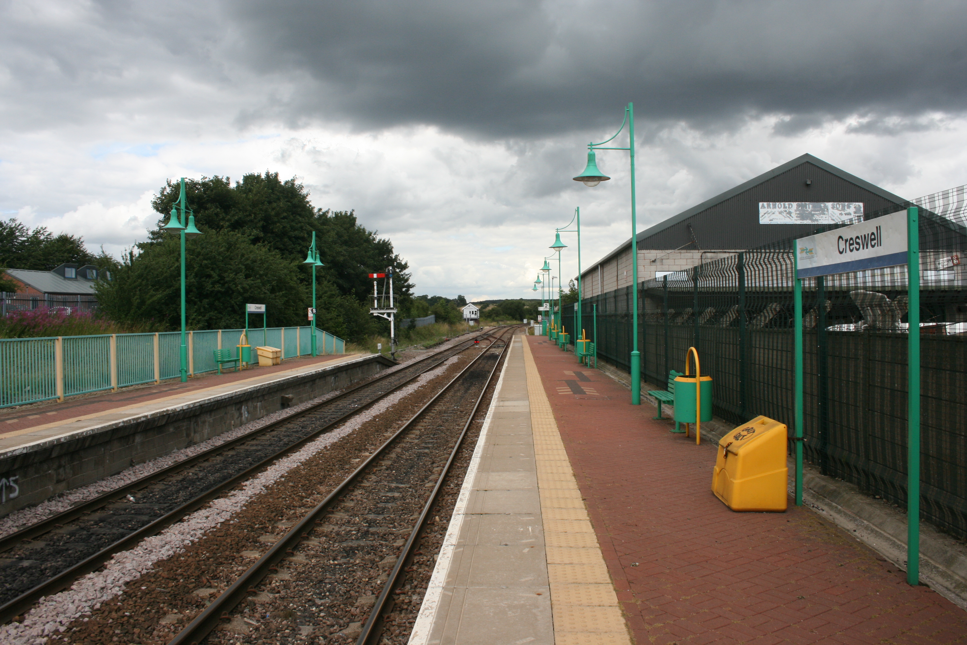
Creswell railway station
Creswell railway station serves the village Creswell in Derbyshire, England. The station is on the Robin Hood Line between Nottingham and Worksop. It is...
Nearby Amenities
Located within 500m of 53.265,-1.198Have you been to Pin Hole?
Leave your review of Pin Hole below (or comments, questions and feedback).