Pin Mill
Heritage Site in Suffolk Babergh
England
Pin Mill

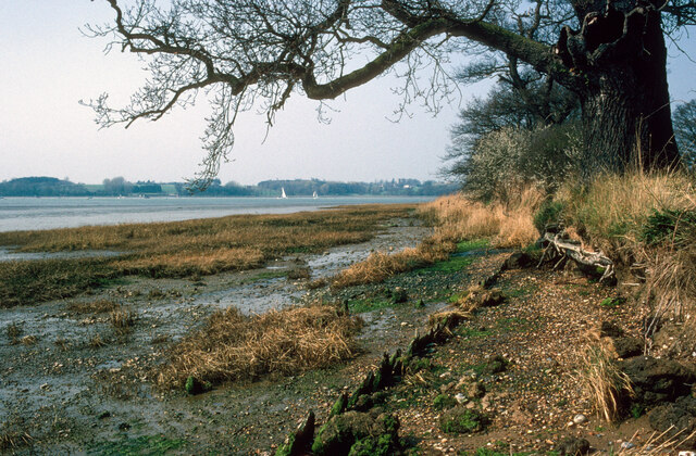
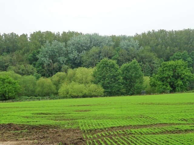
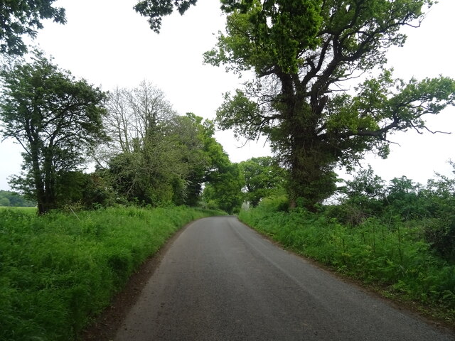
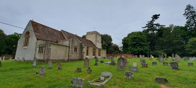
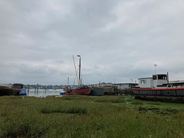
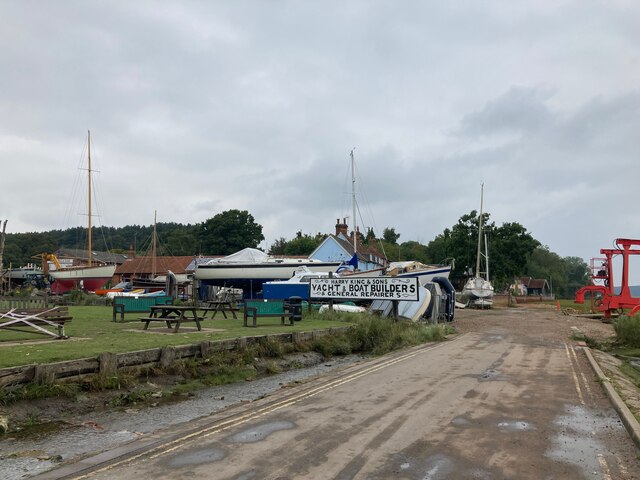
Pin Mill is a picturesque village located on the River Orwell in Suffolk, England. It is known for its rich maritime heritage and stunning natural beauty, attracting visitors from near and far. The village is a designated heritage site, recognized for its historical significance and preservation of traditional English architecture.
One of the main attractions in Pin Mill is the historic Pin Mill Sailing Club, established in 1924. The club played a pivotal role in the development of small boat sailing, and it continues to thrive today. The riverside location offers a perfect setting for sailing enthusiasts to enjoy their passion while taking in the breathtaking views of the river and surrounding countryside.
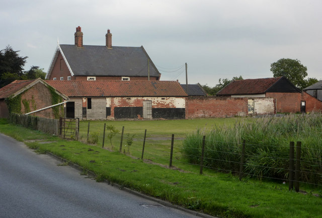
The village itself is a collection of charming cottages and buildings, many of which date back to the 17th and 18th centuries. These traditional timber-framed structures add to the village's quaint and timeless atmosphere. Visitors can take leisurely walks through the narrow lanes, admiring the unique architecture and immersing themselves in the village's history.
Pin Mill is also renowned for its connections to art and literature. The famous British painter Edward Seago was inspired by the village's scenic beauty and captured it in many of his works. Additionally, Arthur Ransome, the author of the beloved children's book "Swallows and Amazons," spent time in Pin Mill and used it as inspiration for some of the book's settings.
Nature lovers will appreciate the idyllic surroundings of Pin Mill. The village is nestled within an Area of Outstanding Natural Beauty, offering visitors ample opportunities for peaceful walks, birdwatching, and picnicking along the riverbanks.
Overall, Pin Mill is a captivating heritage site that seamlessly blends history, art, and natural beauty. It is a must-visit destination for those seeking a tranquil and culturally rich experience in the heart of Suffolk.
If you have any feedback on the listing, please let us know in the comments section below.
Pin Mill Images
Images are sourced within 2km of 51.996/1.224 or Grid Reference TM2137. Thanks to Geograph Open Source API. All images are credited.


Pin Mill is located at Grid Ref: TM2137 (Lat: 51.996, Lng: 1.224)
Administrative County: Suffolk
District: Babergh
Police Authority: Suffolk
What 3 Words
///falls.shorter.increased. Near Holbrook, Suffolk
Nearby Locations
Related Wikis

Orwell Estuary
Orwell Estuary is a 1,335.7 hectare biological Site of Special Scientific Interest which stretches along the River Orwell and its banks between Felixstowe...

Pin Mill
Pin Mill is a hamlet on the south bank of the tidal River Orwell, on the outskirts of the village of Chelmondiston, on the Shotley peninsula in southern...

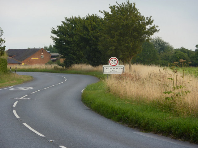
Chelmondiston
Chelmondiston is a small village and civil parish in Suffolk, England located on the Shotley Peninsula, five miles south-east of Ipswich. The hamlet of...

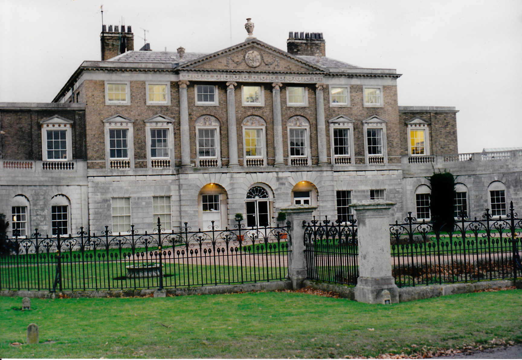
Broke Hall
Broke Hall is an English country house at Nacton, near Ipswich, Suffolk. It overlooks the River Orwell, opposite Pin Mill. The gardens were landscaped...

Orwell Park School
Orwell Park School is a day and boarding preparatory school for boys and girls in the village of Nacton on the edge of Ipswich in the English county of...
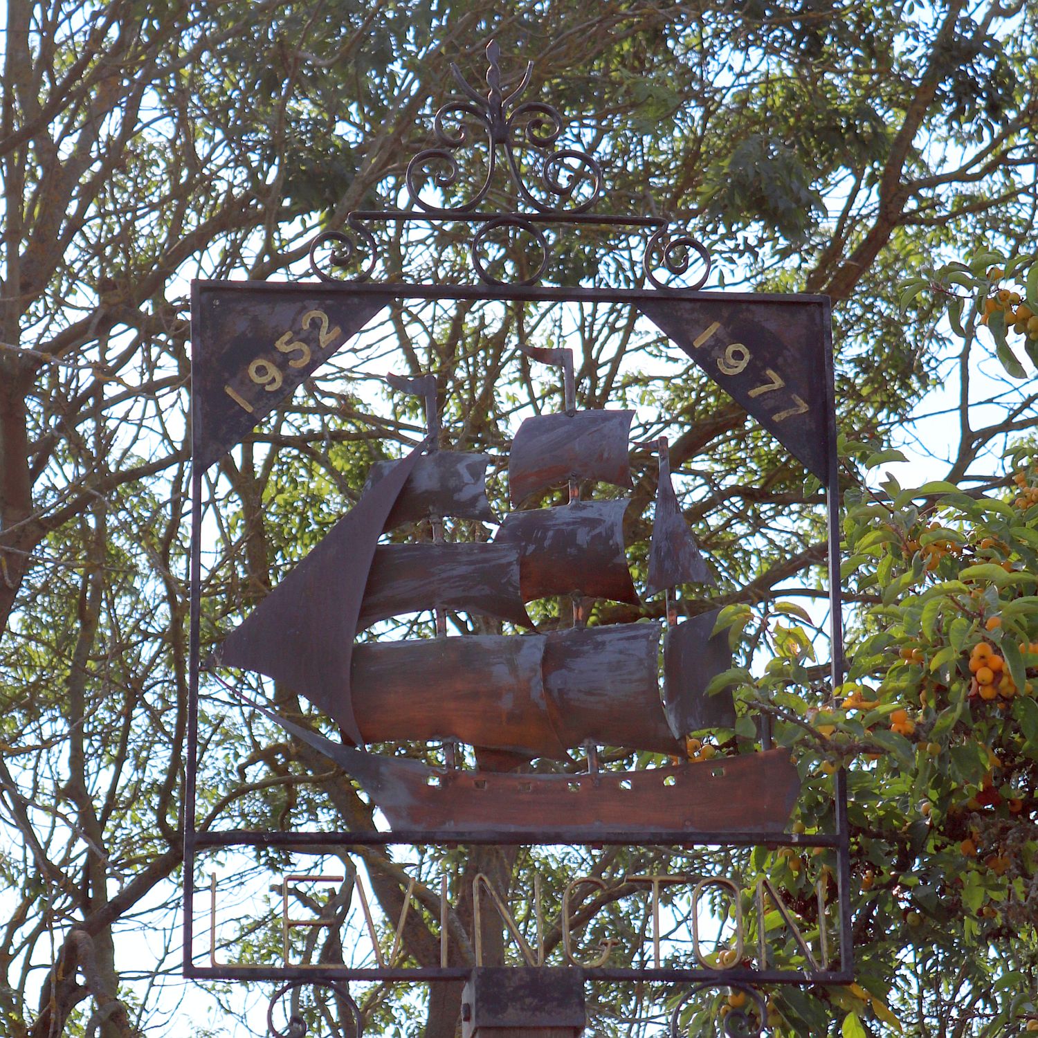
Levington
Levington is a small village in the county of Suffolk, England in the East Suffolk district. The population of the parish including Stratton Hall at the...

Ipswich High School, Suffolk
Ipswich High School is a co-educational private school at Woolverstone Hall near Ipswich, England. Formerly an exclusive school for girls, it was converted...
Woolverstone Hall School
In the early 1950s the London County Council obtained use of Woolverstone Hall near Ipswich, Suffolk, and some 50 acres (200,000 m2) of adjoining land...
Nearby Amenities
Located within 500m of 51.996,1.224Have you been to Pin Mill?
Leave your review of Pin Mill below (or comments, questions and feedback).