Alder Carr
Wood, Forest in Suffolk Babergh
England
Alder Carr
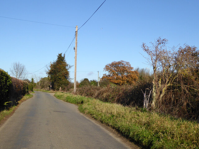
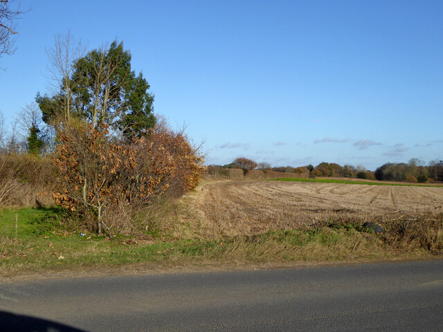
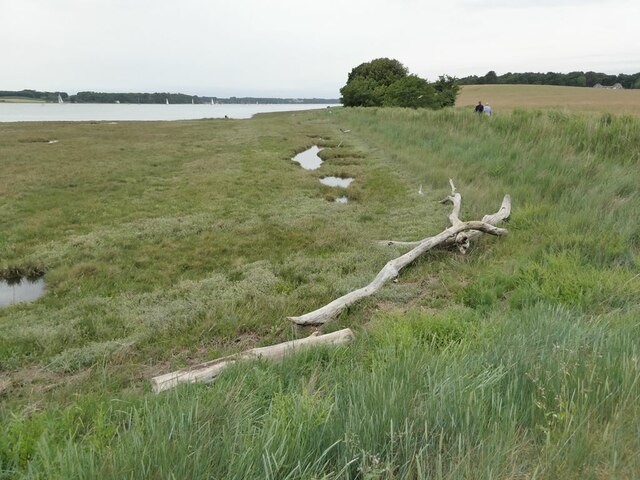
Alder Carr, Suffolk is a picturesque woodland located in the eastern region of England. Covering an area of approximately 20 acres, this forest is known for its dense growth of alder trees, which gives it its name. The forest is situated in the rural village of Needham Market, offering a tranquil escape from the bustling city life.
Alder Carr is home to a rich variety of flora and fauna, making it a haven for nature enthusiasts and wildlife lovers. The forest floor is adorned with a carpet of mosses and ferns, while the canopy is filled with the vibrant colors of birds such as woodpeckers, owls, and thrushes. It is not uncommon to spot squirrels scurrying among the branches or rabbits hopping around in the undergrowth.
The forest also boasts a diverse mix of tree species, including oak, ash, and birch, which contribute to the overall beauty and biodiversity of the area. The presence of a small stream running through the woods adds to the charm and serenity of the surroundings.
Alder Carr offers numerous recreational activities for visitors. There are well-maintained walking trails, allowing hikers to explore the forest's hidden gems and enjoy the tranquility of nature. The forest also provides opportunities for bird watching, photography, and picnicking amidst the lush greenery.
Overall, Alder Carr, Suffolk is a natural gem that showcases the beauty of woodlands in the English countryside. With its diverse ecosystem and peaceful ambiance, it is a must-visit destination for those seeking a retreat into nature.
If you have any feedback on the listing, please let us know in the comments section below.
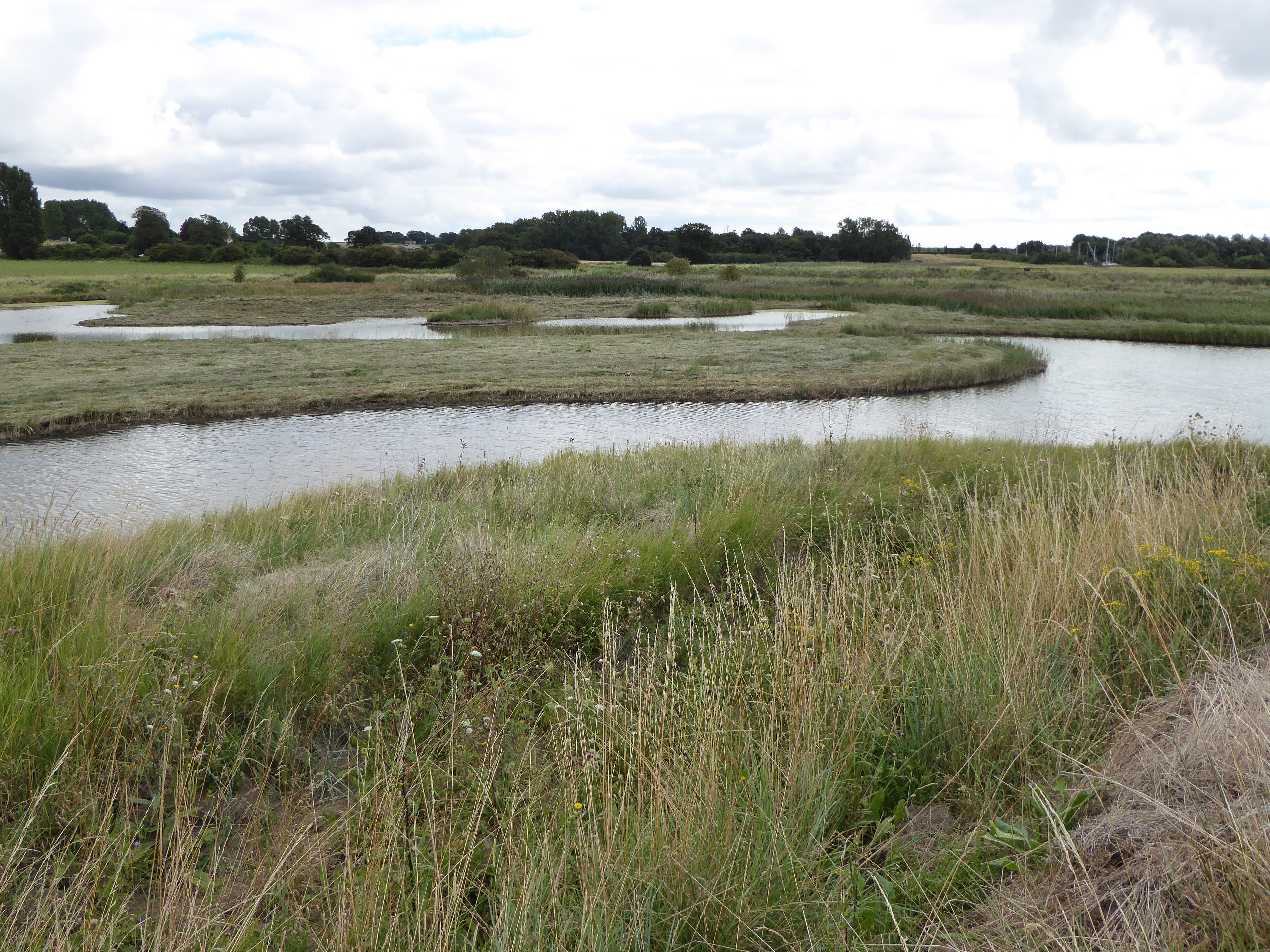
Alder Carr Images
Images are sourced within 2km of 51.991399/1.2315181 or Grid Reference TM2137. Thanks to Geograph Open Source API. All images are credited.


Alder Carr is located at Grid Ref: TM2137 (Lat: 51.991399, Lng: 1.2315181)
Administrative County: Suffolk
District: Babergh
Police Authority: Suffolk
What 3 Words
///blotchy.loosed.monday. Near Shotley Gate, Suffolk
Nearby Locations
Related Wikis

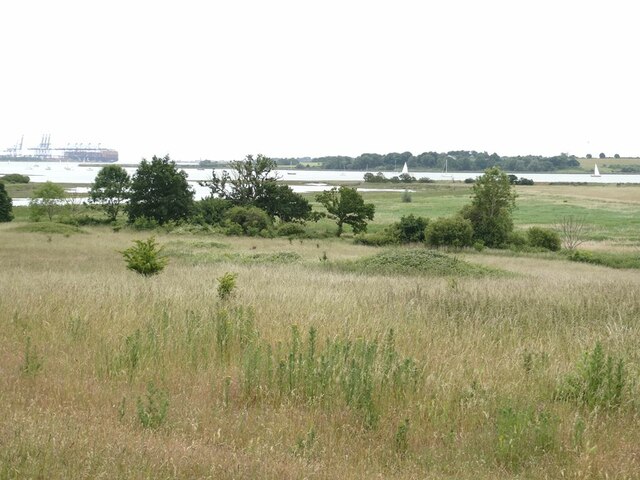
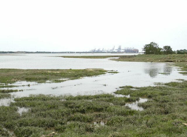
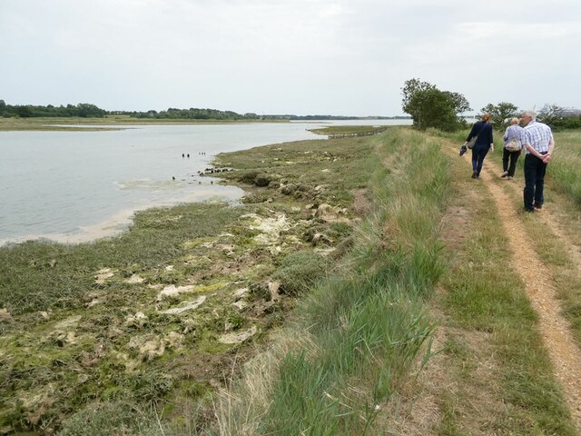
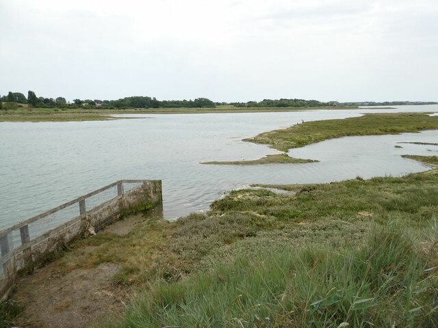
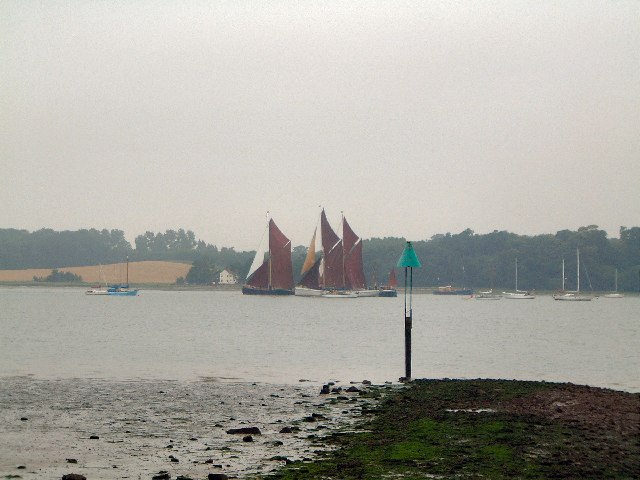
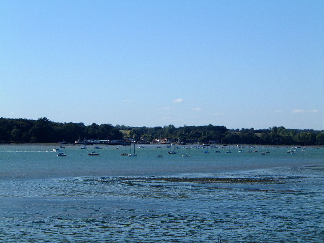
Orwell Estuary
Orwell Estuary is a 1,335.7 hectare biological Site of Special Scientific Interest which stretches along the River Orwell and its banks between Felixstowe...

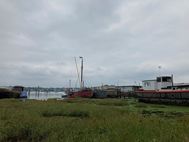
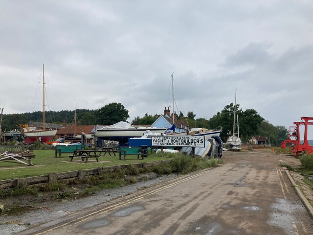
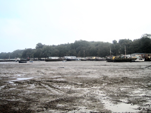
Pin Mill
Pin Mill is a hamlet on the south bank of the tidal River Orwell, on the outskirts of the village of Chelmondiston, on the Shotley peninsula in southern...

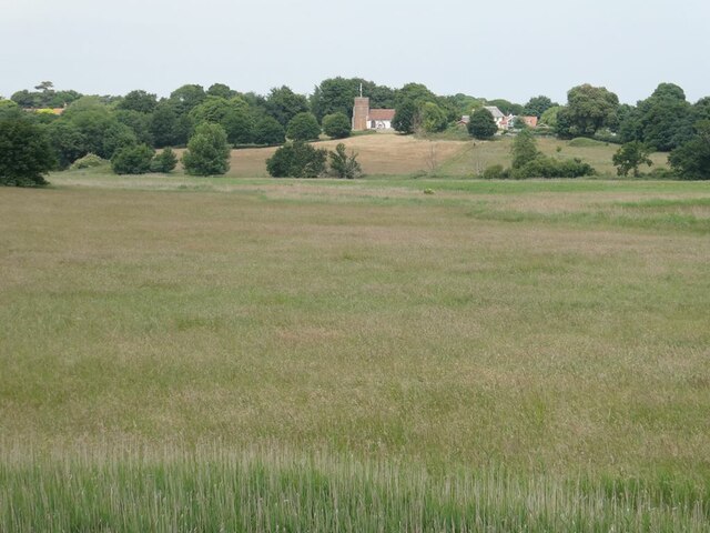
Chelmondiston
Chelmondiston is a small village and civil parish in Suffolk, England located on the Shotley Peninsula, five miles south-east of Ipswich. The hamlet of...
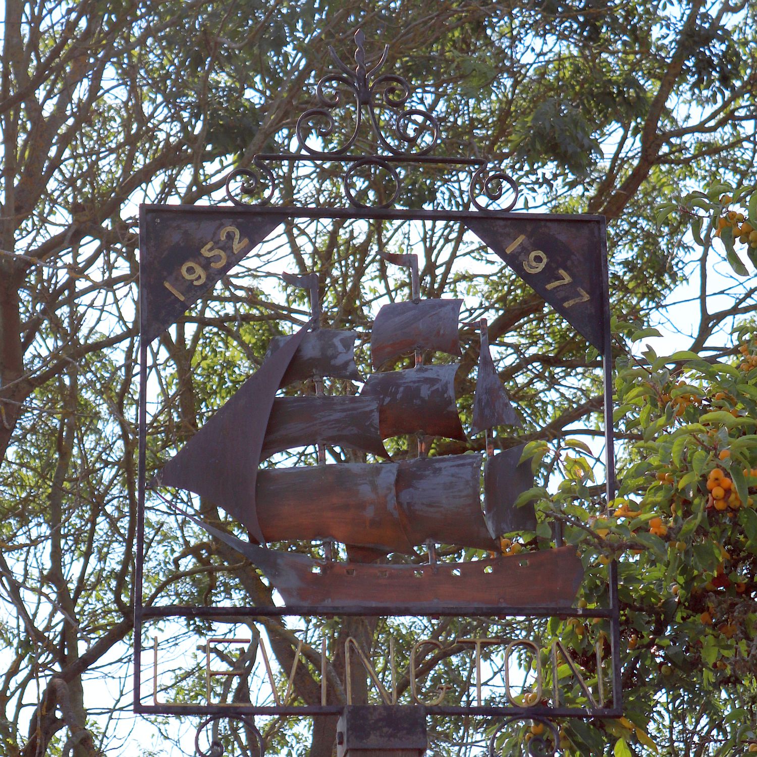
Levington
Levington is a small village in the county of Suffolk, England in the East Suffolk district. The population of the parish including Stratton Hall at the...

Broke Hall
Broke Hall is an English country house at Nacton, near Ipswich, Suffolk. It overlooks the River Orwell, opposite Pin Mill. The gardens were landscaped...

Orwell Park School
Orwell Park School is a day and boarding preparatory school for boys and girls in the village of Nacton on the edge of Ipswich in the English county of...
Levington Lagoon
Levington Lagoon is a 5 hectare nature reserve south-east of Levington in Suffolk. It is owned by Suffolk Yacht Harbour Ltd and managed by the Suffolk...

Nacton Meadows
Nacton Meadows is a 4.5-hectare (11-acre) biological Site of Special Scientific Interest north-west of Levington in Suffolk. It is in the Suffolk Coast...
Related Videos

Country Walking: Chelmondiston Circular. 4/8/22
An excellent walk of 10.6 miles around the Shotley Peninsula, in the Suffolk Coast and Heaths Area of Outstanding Beauty.

Pin Mill to Freston Tower near Ipswich : 6 mile circular walk
In this video we walk 6 miles from Pin Mill to Freston Tower, near Ipswich, Suffolk. We have a picnic with views of the River Orwell, ...
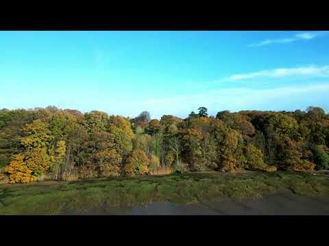
Autumn Nacton Woods
A lovely Autumn morning down at Nacton Woods. I have been bemoaning my lack of opportunity to capture some real Autumn ...
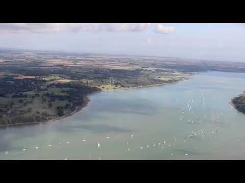
River Orwell flight
River Orwell, Nacton, Felixstowe.
Nearby Amenities
Located within 500m of 51.991399,1.2315181Have you been to Alder Carr?
Leave your review of Alder Carr below (or comments, questions and feedback).