Cliff Plantation
Wood, Forest in Suffolk Babergh
England
Cliff Plantation
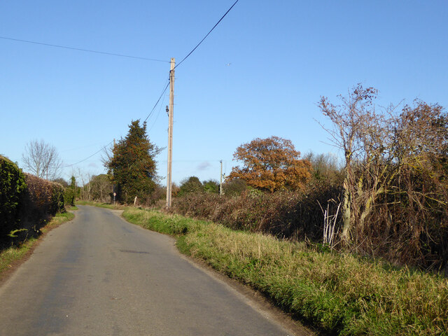
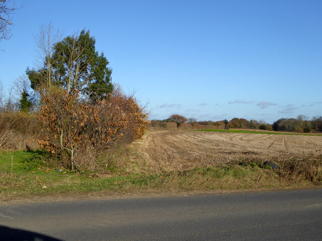
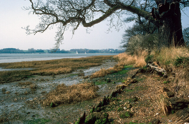
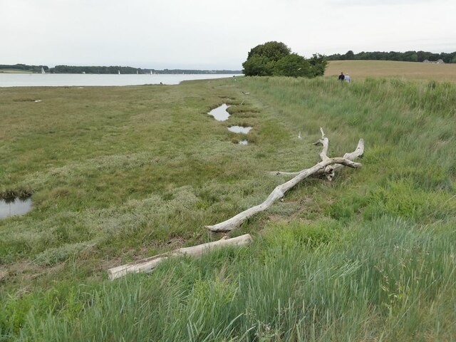
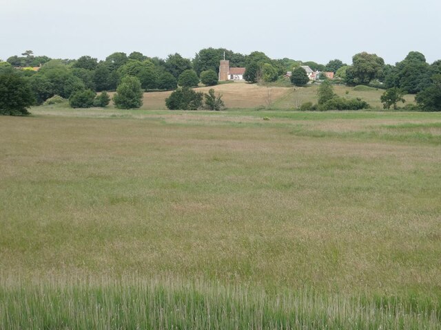
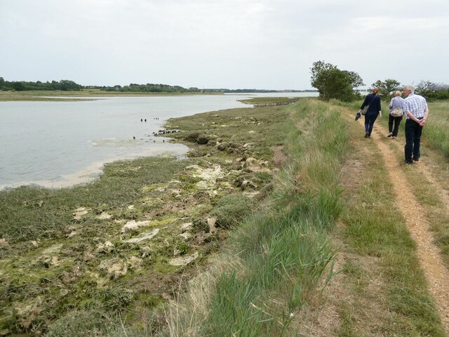
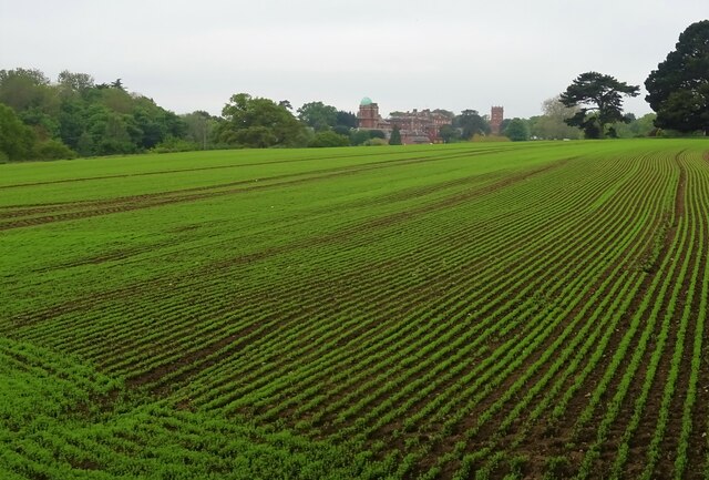
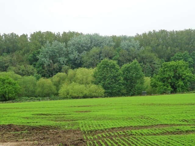
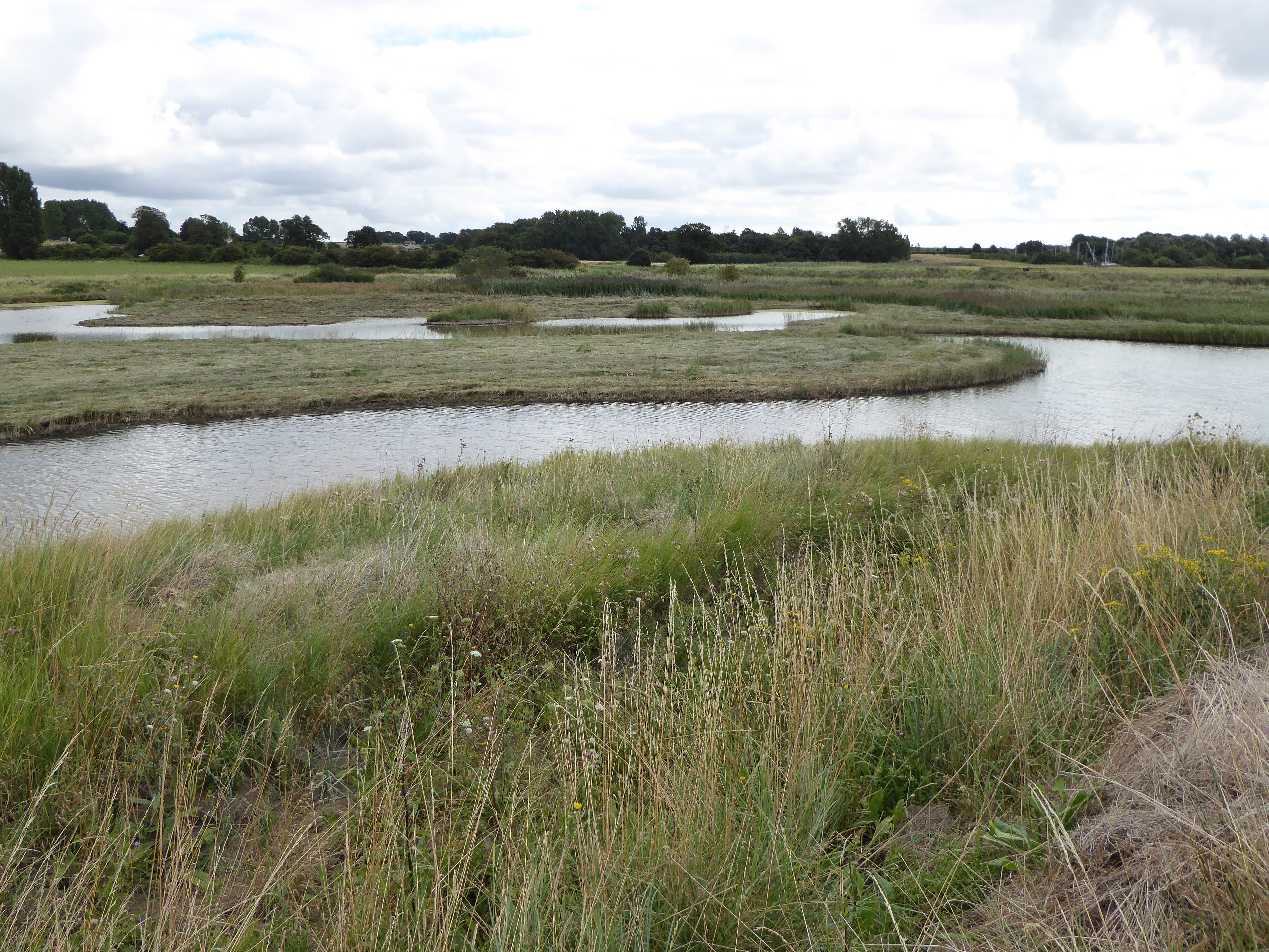
Cliff Plantation is a picturesque woodland area located in Suffolk, England. Situated on the edge of a cliff, it offers breathtaking views of the surrounding countryside. The plantation covers a vast area of land and is predominantly made up of dense forest, with a variety of tree species such as oak, beech, and pine.
The plantation is a haven for nature enthusiasts and provides a sanctuary for a wide range of wildlife. Visitors can expect to spot a diverse array of animals, including deer, foxes, and numerous species of birds. The peaceful atmosphere and tranquil surroundings make it an ideal spot for birdwatching and wildlife photography.
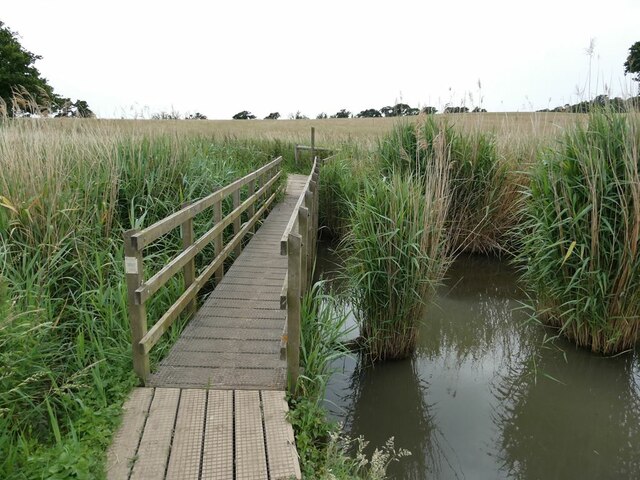
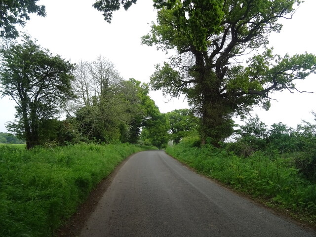
The plantation is also popular among hikers and outdoor adventurers. It boasts well-marked trails that wind through the forest, providing opportunities for both leisurely walks and more challenging hikes. These trails offer stunning vistas of the surrounding countryside and allow visitors to immerse themselves in the natural beauty of their surroundings.
In addition to its natural beauty, Cliff Plantation is also home to a variety of historical landmarks. The ruins of an ancient castle can be found within the woodland, providing a fascinating glimpse into the area's rich history. The plantation is also dotted with old stone walls and remnants of past settlements, adding to its charm and appeal.
Overall, Cliff Plantation in Suffolk is a treasure trove of natural beauty, wildlife, and history. Whether visitors are seeking a peaceful retreat, a chance to connect with nature, or a glimpse into the past, this woodland area offers something for everyone.
If you have any feedback on the listing, please let us know in the comments section below.
Cliff Plantation Images
Images are sourced within 2km of 51.994582/1.2279157 or Grid Reference TM2137. Thanks to Geograph Open Source API. All images are credited.


Cliff Plantation is located at Grid Ref: TM2137 (Lat: 51.994582, Lng: 1.2279157)
Administrative County: Suffolk
District: Babergh
Police Authority: Suffolk
What 3 Words
///exclusive.tank.stormed. Near Shotley Gate, Suffolk
Nearby Locations
Related Wikis

Orwell Estuary
Orwell Estuary is a 1,335.7 hectare biological Site of Special Scientific Interest which stretches along the River Orwell and its banks between Felixstowe...

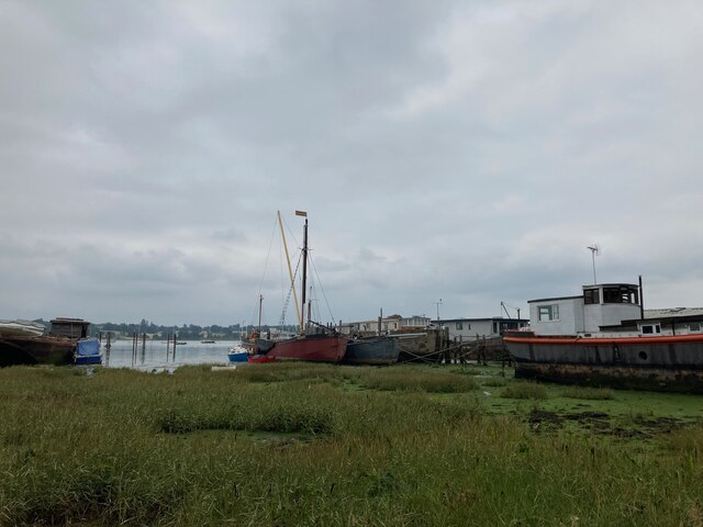
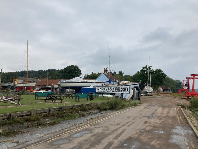
Pin Mill
Pin Mill is a hamlet on the south bank of the tidal River Orwell, on the outskirts of the village of Chelmondiston, on the Shotley peninsula in southern...

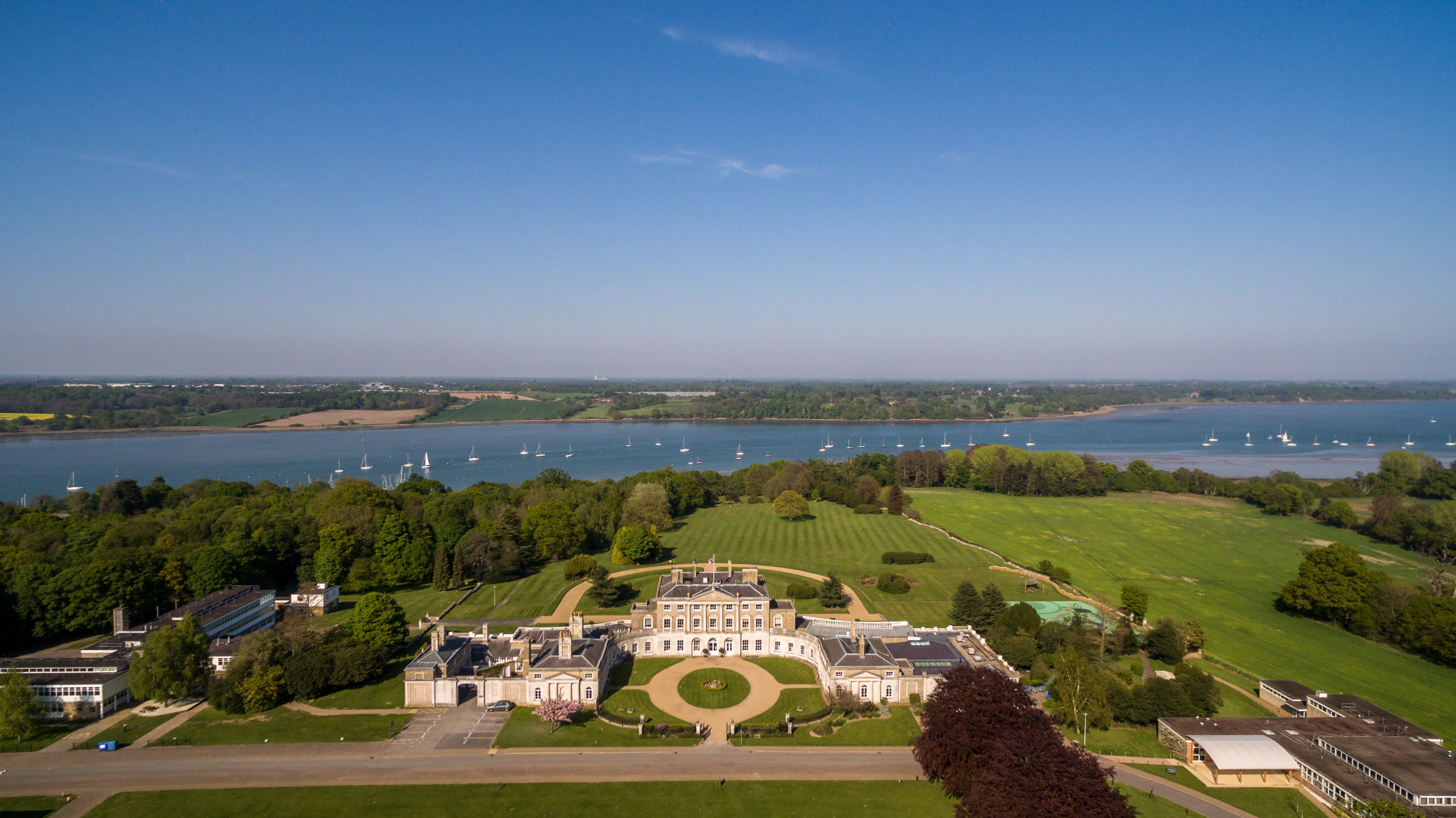
Broke Hall
Broke Hall is an English country house at Nacton, near Ipswich, Suffolk. It overlooks the River Orwell, opposite Pin Mill. The gardens were landscaped...

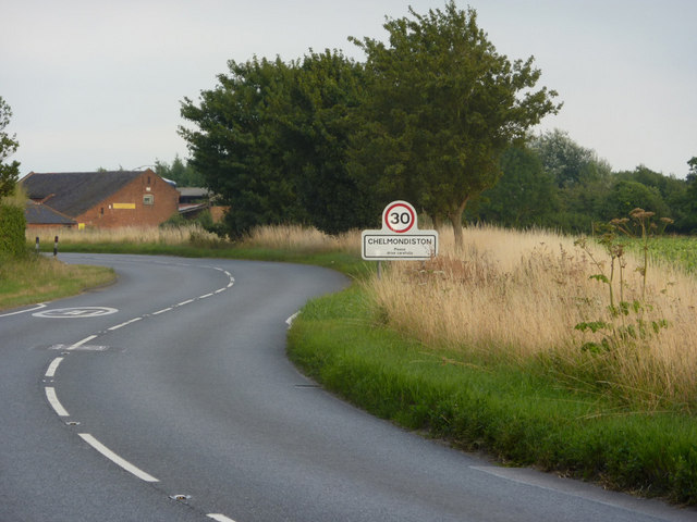
Chelmondiston
Chelmondiston is a small village and civil parish in Suffolk, England located on the Shotley Peninsula, five miles south-east of Ipswich. The hamlet of...
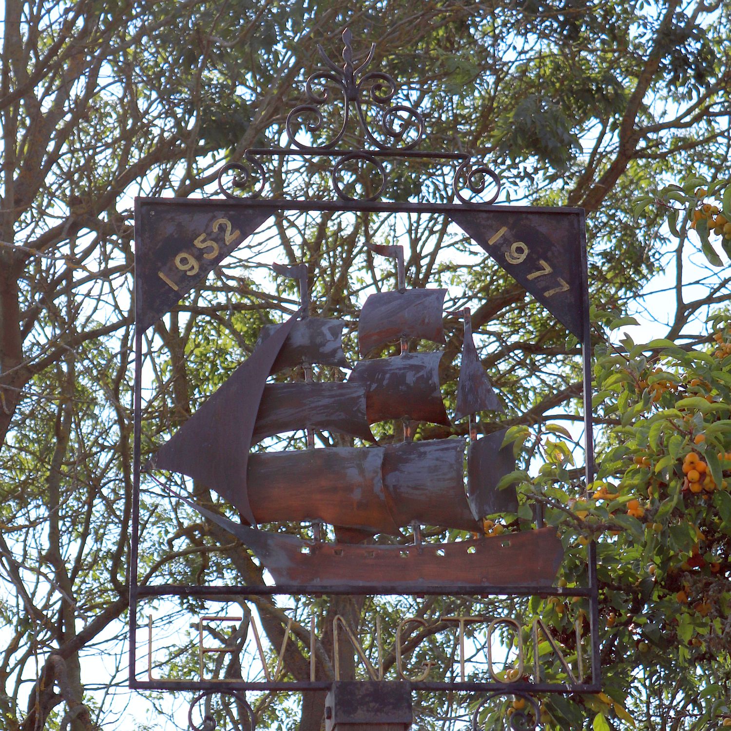
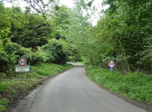
Levington
Levington is a small village in the county of Suffolk, England in the East Suffolk district. The population of the parish including Stratton Hall at the...

Orwell Park School
Orwell Park School is a day and boarding preparatory school for boys and girls in the village of Nacton on the edge of Ipswich in the English county of...
Levington Lagoon
Levington Lagoon is a 5 hectare nature reserve south-east of Levington in Suffolk. It is owned by Suffolk Yacht Harbour Ltd and managed by the Suffolk...
Ipswich High School, Suffolk
Ipswich High School is a co-educational private school at Woolverstone Hall near Ipswich, England. Formerly an exclusive school for girls, it was converted...
Related Videos
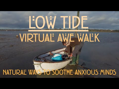
4k Relaxing and Peaceful Riverside Walk at low tide, Pin Mill Suffolk
4K Relaxing riverside walk. Join me on a gentle relaxing walk on the last day of 2021! Enjoy the calming sound of seagulls and ...
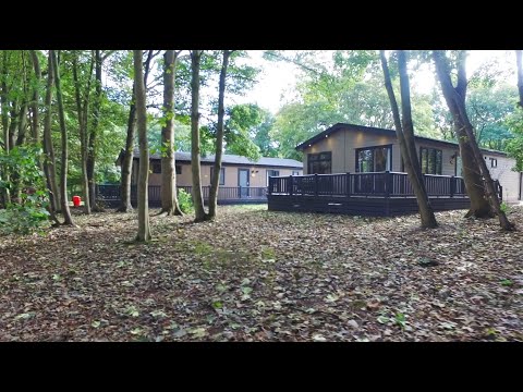
Woolverstone Marina and Lodge Park: A wonderful staycation
Set in 22 acres of beautiful parkland on the River Orwell, Woolverstone Marina and Lodge Park is the perfect escape from the ...
HOW I RESEARCH A LOCATION - PIN MILL - LONG EXPOSURE PHOTOGRAPHY
Pin mill has been on my bucket list for a while and I always wanted to do a Gary Gough long exposure-type image from this ...

4k Relaxing Walk Beside the River. English Countryside
A Relaxing Walk beside the River Orwell, Suffolk. Join me as I walk along the shore looking at the fallen trees, the colours and ...
Nearby Amenities
Located within 500m of 51.994582,1.2279157Have you been to Cliff Plantation?
Leave your review of Cliff Plantation below (or comments, questions and feedback).