The Belt
Wood, Forest in Norfolk South Norfolk
England
The Belt

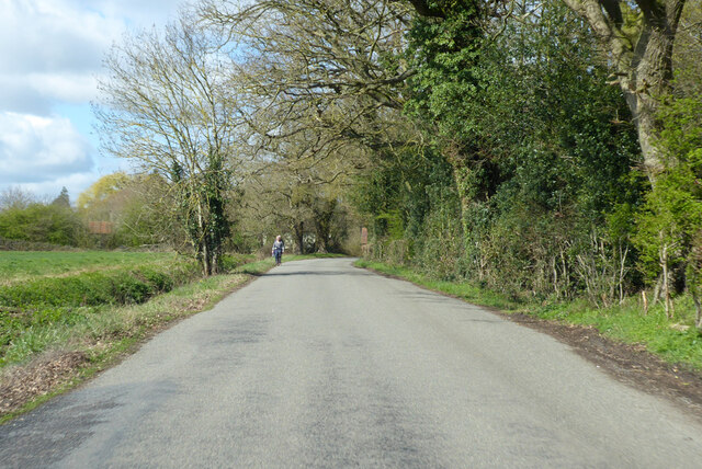
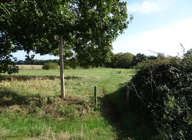
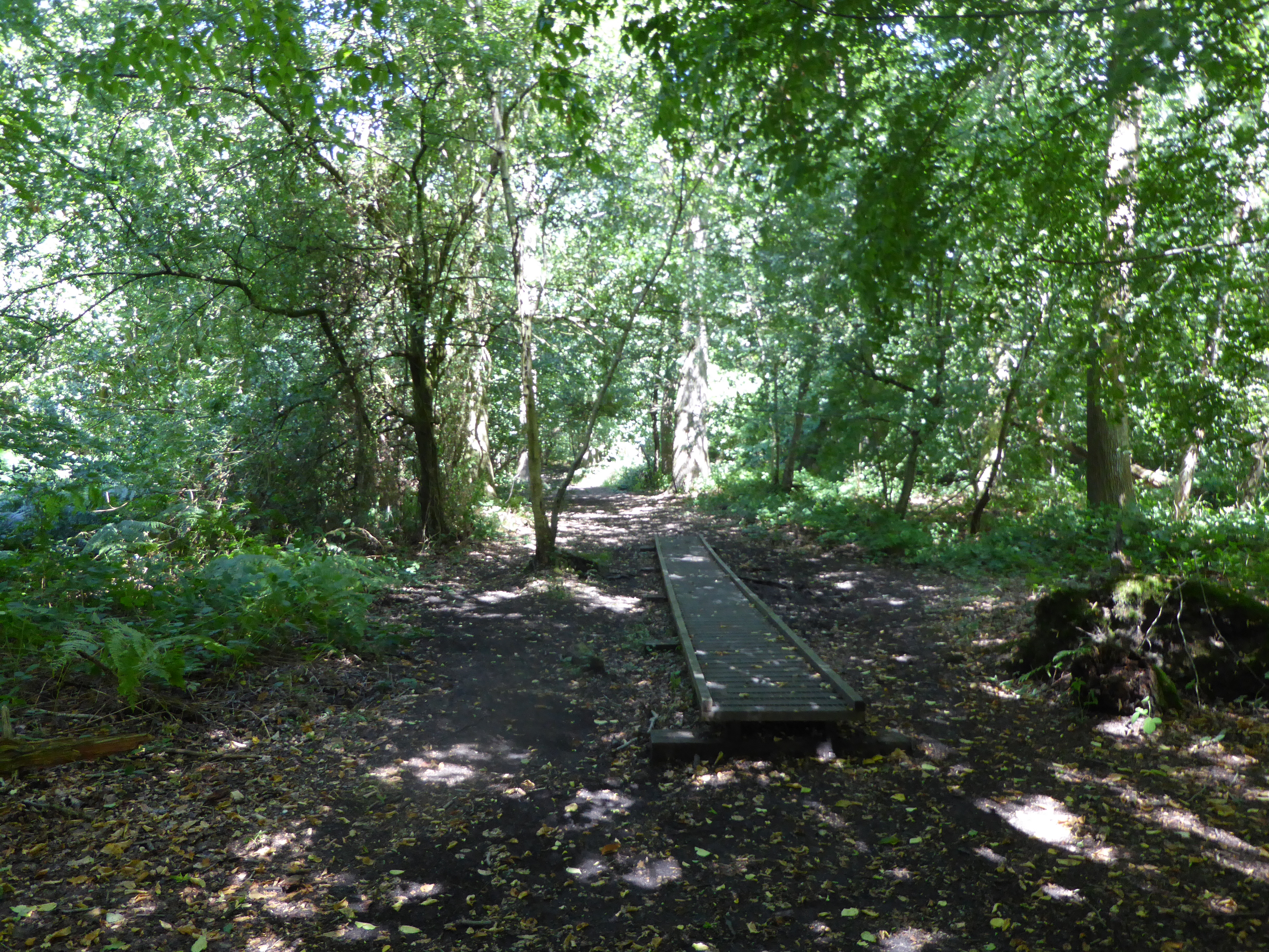
The Belt, located in Norfolk, is a dense woodland area known for its natural beauty and rich biodiversity. Covering an area of approximately 100 acres, The Belt is nestled between the villages of Wood and Forest. It is characterized by its towering trees, lush undergrowth, and meandering footpaths, making it a popular destination for nature enthusiasts and hikers.
The woodland is predominantly composed of native tree species, such as oak, beech, and birch, which create a picturesque canopy overhead. The forest floor is carpeted with a diverse range of flora, including bluebells, wild garlic, and ferns, adding to the enchanting atmosphere of the area.
The Belt is home to a variety of wildlife, making it a haven for animal lovers and birdwatchers. Visitors can spot a range of species, including deer, squirrels, foxes, and a multitude of bird species, such as woodpeckers and owls. The forest provides a rich habitat for these creatures, offering shelter, food, and nesting sites.
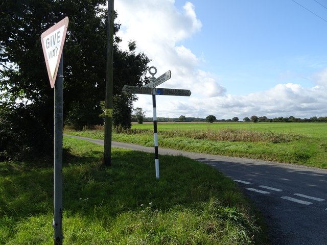
The woodland is crisscrossed with well-maintained footpaths, allowing visitors to explore its beauty at their own pace. These paths lead to hidden clearings, tranquil ponds, and breathtaking viewpoints, providing opportunities for quiet contemplation or peaceful picnics.
In addition to its natural wonders, The Belt also offers educational opportunities. Local schools and environmental organizations often organize guided tours and educational programs to teach visitors about the importance of conservation and the delicate balance of ecosystems.
Overall, The Belt in Norfolk is a captivating woodland that invites visitors to immerse themselves in nature, offering a peaceful retreat from the hustle and bustle of daily life.
If you have any feedback on the listing, please let us know in the comments section below.
The Belt Images
Images are sourced within 2km of 52.482252/1.2674437 or Grid Reference TM2192. Thanks to Geograph Open Source API. All images are credited.


The Belt is located at Grid Ref: TM2192 (Lat: 52.482252, Lng: 1.2674437)
Administrative County: Norfolk
District: South Norfolk
Police Authority: Norfolk
What 3 Words
///proves.magic.lobster. Near Long Stratton, Norfolk
Nearby Locations
Related Wikis

Fritton Common, Morningthorpe
Fritton Common, Morningthorpe is a 20.5-hectare (51-acre) biological Site of Special Scientific Interest east of Long Stratton in Norfolk.This damp acidic...

Shelton Hall (Norfolk)
Shelton Hall is a large estate in the village of Shelton, Norfolk, England. The estate has around 72 acres (290,000 m2) of surrounding fields, the names...

Shelton and Hardwick
Shelton and Hardwick is a civil parish in South Norfolk, England, made up of the villages of Shelton and Hardwick. It lies about 3 km south-east of Long...

Long Stratton
Long Stratton is a town and civil parish in Norfolk, England. It historically consisted of two villages; the larger, Stratton St. Mary, is to the south...

Hempnall
Hempnall is a village and civil parish in the English county of Norfolk. It covers an area of 14.82 km2 (5.72 sq mi) and had a population of 1,310 in 522...
South Norfolk
South Norfolk is a local government district in Norfolk, England. The largest town is Wymondham, and the district also includes the towns of Costessey...
Long Stratton High School
Long Stratton High School is a secondary school located in the town of Long Stratton in the English county of Norfolk. It educates children from ages...
Pulham Market Big Wood
Pulham Market Big Wood is a 4.7-hectare (12-acre) biological Site of Special Scientific Interest south of Long Stratton in Norfolk.This ancient coppice...
Related Videos
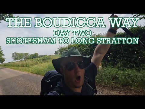
Boudicca Way - Day Two - Shotesham to Nr Long Stratton - Cool Dudes Walking Club
A 15-mile walk in a heatwave from my B&B in Mulbarton to near Long Stratton. Here is the Super Sparrow Water Bottle ...

From the air | Drone showreel | Long Stratton | South Norfolk | England | U.K. | Parrot anafi drone
Two minutes and forty seconds of drone magic above the flatlands of South Norfolk, United Kingdom #longstratton #southnorfolk ...
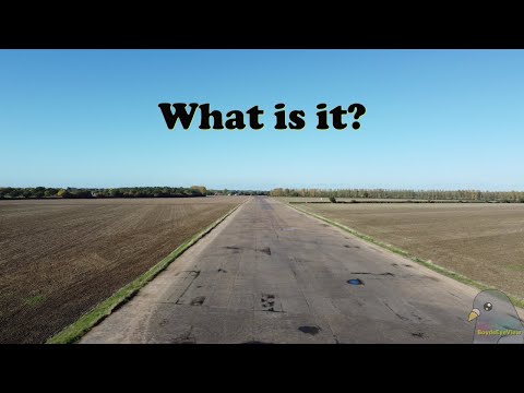
What is it ?
Saw this whilst out and about with the dog. Made me think about stone circles and things that where built for two world wars.

The day before the fire | Ruby (supermomma from Takis Shelter)
Ruby and Michelle were in shop the day before it was involved in a fire. Luckily they weren't in the shop on the day of the fire.
Nearby Amenities
Located within 500m of 52.482252,1.2674437Have you been to The Belt?
Leave your review of The Belt below (or comments, questions and feedback).