Church Spinney
Wood, Forest in Norfolk South Norfolk
England
Church Spinney
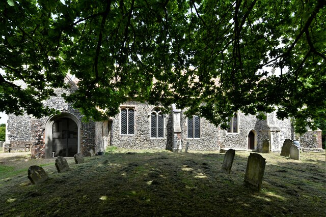
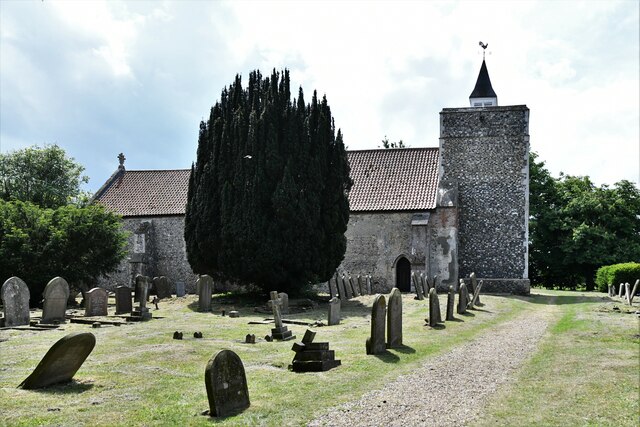
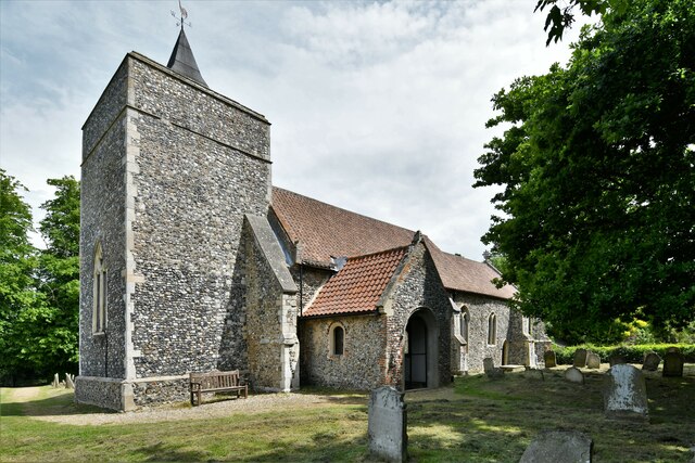
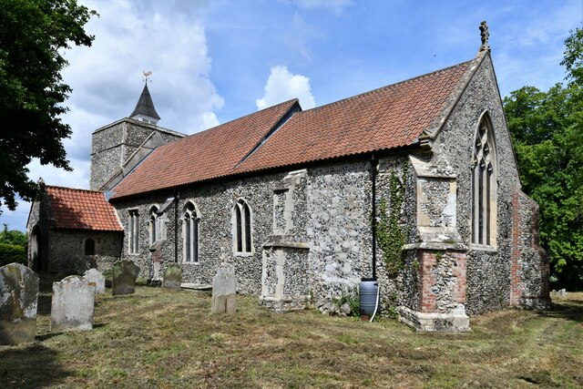
Church Spinney is a picturesque woodland located in Norfolk, England. Situated near the village of Wood, this forested area covers an approximate area of 200 acres. The name "spinney" refers to a small woodland, typically consisting of young trees, and Church Spinney is no exception. The site gets its name from the nearby church, which adds to the charm and tranquility of the area.
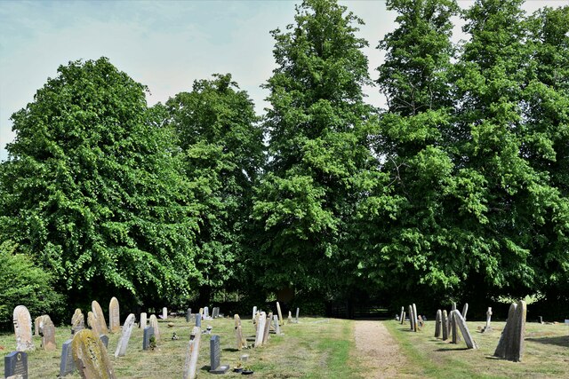
Church Spinney is home to a variety of tree species, including oak, birch, beech, and ash. The forest floor is adorned with a carpet of ferns, bluebells, and other wildflowers, creating a vibrant and colorful landscape during the spring and summer months. The dense canopy of trees provides shade and shelter for a diverse range of wildlife, such as squirrels, rabbits, and various bird species.
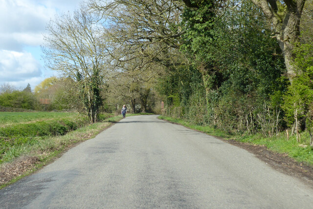
The woodland offers several walking trails, allowing visitors to explore its natural beauty. These paths wind through the trees, offering glimpses of sunlight filtering through the foliage and creating an enchanting atmosphere. The peaceful ambiance makes Church Spinney an ideal destination for nature lovers, hikers, and photographers seeking to capture the essence of Norfolk's countryside.
In addition to its natural appeal, Church Spinney holds historical significance. The proximity to the church suggests that the area may have been used for religious or ceremonial purposes in the past. The ancient trees and serene atmosphere lend a sense of timelessness to the site, evoking a connection to the region's rich history.
Overall, Church Spinney in Norfolk is a captivating woodland that combines natural beauty, wildlife diversity, and historical significance. It offers visitors a tranquil escape from the bustling modern world, allowing them to immerse themselves in the serenity of nature.
If you have any feedback on the listing, please let us know in the comments section below.
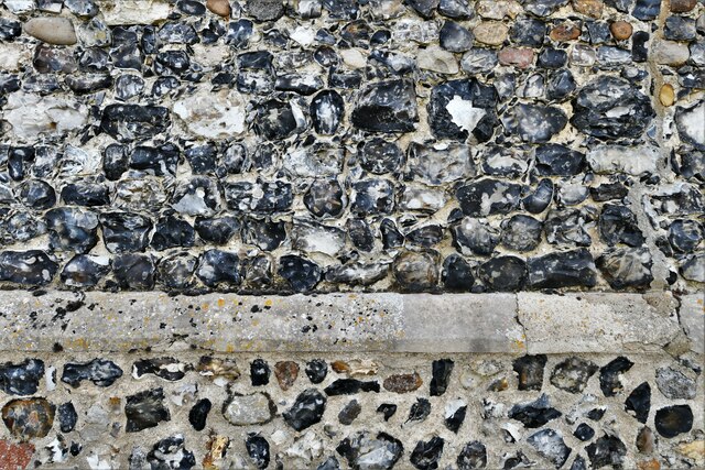
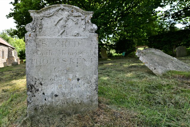
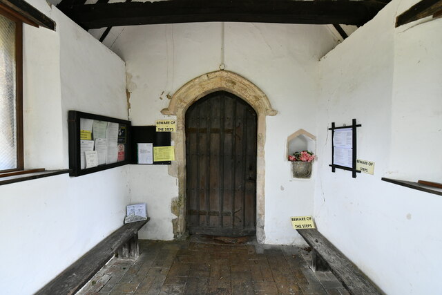
Church Spinney Images
Images are sourced within 2km of 52.485121/1.2680691 or Grid Reference TM2192. Thanks to Geograph Open Source API. All images are credited.


Church Spinney is located at Grid Ref: TM2192 (Lat: 52.485121, Lng: 1.2680691)
Administrative County: Norfolk
District: South Norfolk
Police Authority: Norfolk
What 3 Words
///unfilled.nutty.chat. Near Long Stratton, Norfolk
Nearby Locations
Related Wikis

Fritton Common, Morningthorpe
Fritton Common, Morningthorpe is a 20.5-hectare (51-acre) biological Site of Special Scientific Interest east of Long Stratton in Norfolk.This damp acidic...

Shelton Hall (Norfolk)
Shelton Hall is a large estate in the village of Shelton, Norfolk, England. The estate has around 72 acres (290,000 m2) of surrounding fields, the names...

Long Stratton
Long Stratton is a town and civil parish in Norfolk, England. It historically consisted of two villages; the larger, Stratton St. Mary, is to the south...

Hempnall
Hempnall is a village and civil parish in the English county of Norfolk. It covers an area of 14.82 km2 (5.72 sq mi) and had a population of 1,310 in 522...

Shelton and Hardwick
Shelton and Hardwick is a civil parish in South Norfolk, England, made up of the villages of Shelton and Hardwick. It lies about 3 km south-east of Long...
South Norfolk
South Norfolk is a local government district in Norfolk, England. The largest town is Wymondham, and the district also includes the towns of Costessey...
Long Stratton High School
Long Stratton High School is a secondary school located in the town of Long Stratton in the English county of Norfolk. It educates children from ages...

Morningthorpe
Morningthorpe (sometimes Morning Thorpe) is a village and former civil parish, now in the parish of Morningthorpe and Fritton in the South Norfolk district...
Nearby Amenities
Located within 500m of 52.485121,1.2680691Have you been to Church Spinney?
Leave your review of Church Spinney below (or comments, questions and feedback).