Norwich Road Plantation
Wood, Forest in Norfolk South Norfolk
England
Norwich Road Plantation

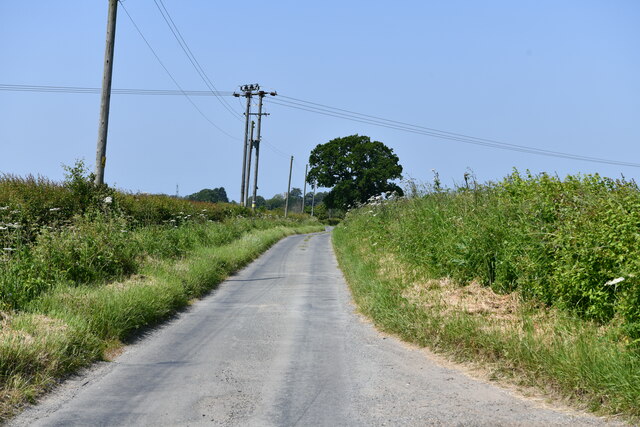
Norwich Road Plantation, located in Norfolk, England, is a picturesque woodland area known for its natural beauty and rich history. Covering a vast area, this plantation is a popular destination for nature lovers, hikers, and history enthusiasts alike.
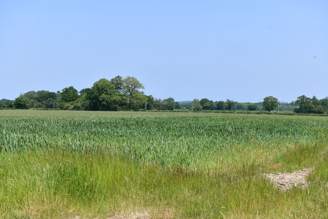
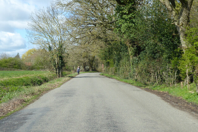
The plantation is characterized by its dense forest, which is home to a diverse range of flora and fauna. Towering oak and beech trees dominate the landscape, creating a serene and tranquil atmosphere. The forest floor is adorned with a variety of wildflowers, adding splashes of color to the green surroundings.
This woodland has a long and fascinating history. It was originally part of the larger Norfolk Estate and was used for timber production during the medieval period. Over the years, it transitioned into a private hunting ground for the wealthy elite before finally becoming a public space in the early 20th century.
Today, visitors can explore the plantation through a network of well-marked trails, offering stunning views of the countryside and the opportunity to spot wildlife such as deer, squirrels, and a variety of bird species. The plantation is also home to a number of historic landmarks, including the ruins of an old hunting lodge and a Victorian-era watermill.
Norwich Road Plantation offers a tranquil escape from the hustle and bustle of city life, providing a perfect setting for leisurely walks, picnics, and nature photography. With its captivating history and natural beauty, it continues to attract visitors from near and far, making it a cherished gem in Norfolk's countryside.
If you have any feedback on the listing, please let us know in the comments section below.
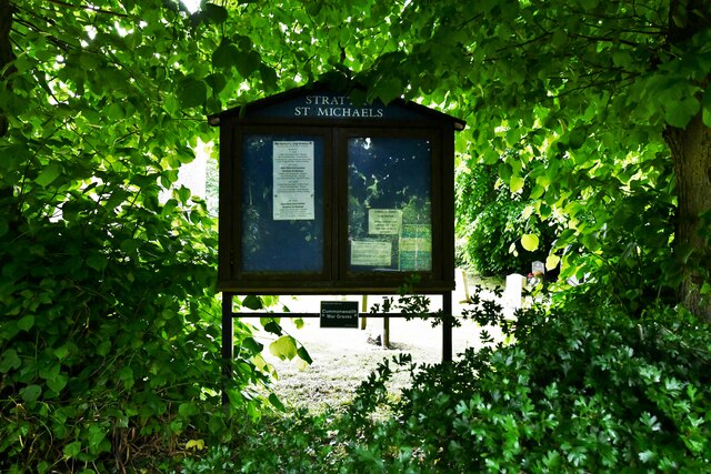
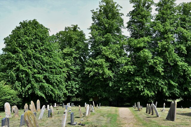
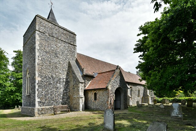
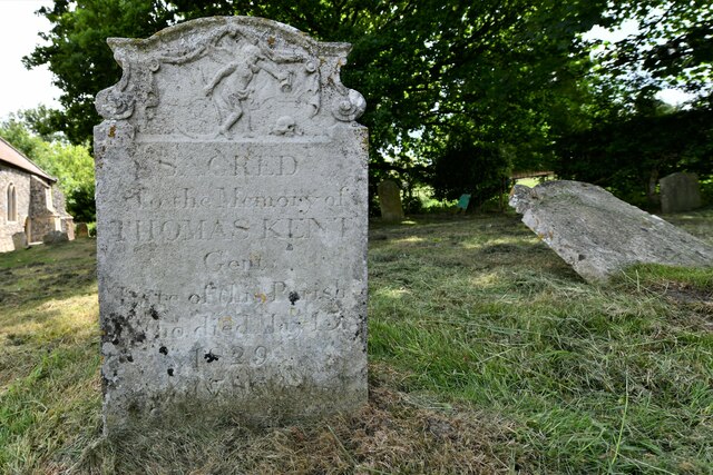
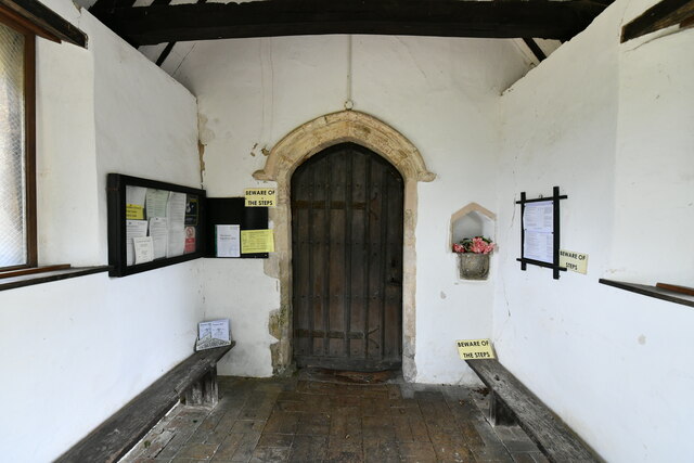
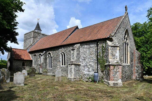
Norwich Road Plantation Images
Images are sourced within 2km of 52.489844/1.2625113 or Grid Reference TM2192. Thanks to Geograph Open Source API. All images are credited.


Norwich Road Plantation is located at Grid Ref: TM2192 (Lat: 52.489844, Lng: 1.2625113)
Administrative County: Norfolk
District: South Norfolk
Police Authority: Norfolk
What 3 Words
///half.knees.before. Near Long Stratton, Norfolk
Nearby Locations
Related Wikis

Fritton Common, Morningthorpe
Fritton Common, Morningthorpe is a 20.5-hectare (51-acre) biological Site of Special Scientific Interest east of Long Stratton in Norfolk.This damp acidic...

Long Stratton
Long Stratton is a town and civil parish in Norfolk, England. It historically consisted of two villages; the larger, Stratton St. Mary, is to the south...
South Norfolk
South Norfolk is a local government district in Norfolk, England. The largest town is Wymondham, and the district also includes the towns of Costessey...
Long Stratton High School
Long Stratton High School is a secondary school located in the town of Long Stratton in the English county of Norfolk. It educates children from ages...

Hempnall
Hempnall is a village and civil parish in the English county of Norfolk. It covers an area of 14.82 km2 (5.72 sq mi) and had a population of 1,310 in 522...

Morningthorpe
Morningthorpe (sometimes Morning Thorpe) is a village and former civil parish, now in the parish of Morningthorpe and Fritton in the South Norfolk district...

Shelton Hall (Norfolk)
Shelton Hall is a large estate in the village of Shelton, Norfolk, England. The estate has around 72 acres (290,000 m2) of surrounding fields, the names...

Tasburgh
Tasburgh ( TAYZ-bər-ə) is a civil parish and a village in the south of Norfolk, England, located approximately 8 miles south of Norwich. It lies on the...
Nearby Amenities
Located within 500m of 52.489844,1.2625113Have you been to Norwich Road Plantation?
Leave your review of Norwich Road Plantation below (or comments, questions and feedback).