The Grove
Wood, Forest in Norfolk South Norfolk
England
The Grove
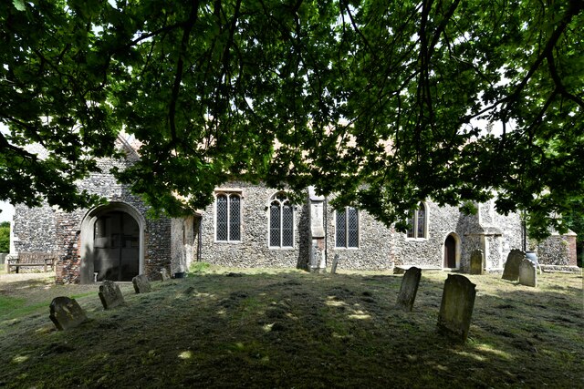
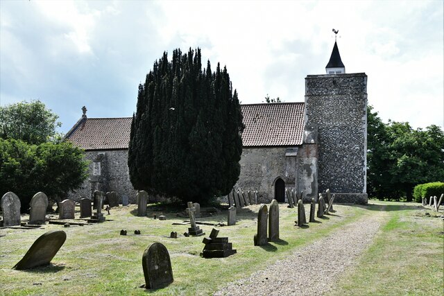
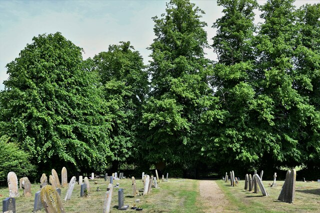
Located in Norfolk County, England, The Grove is a sprawling woodland area known for its dense forest and natural beauty. Covering approximately 2,000 acres of land, this enchanting wood offers a serene and tranquil environment for nature enthusiasts and outdoor adventurers alike.
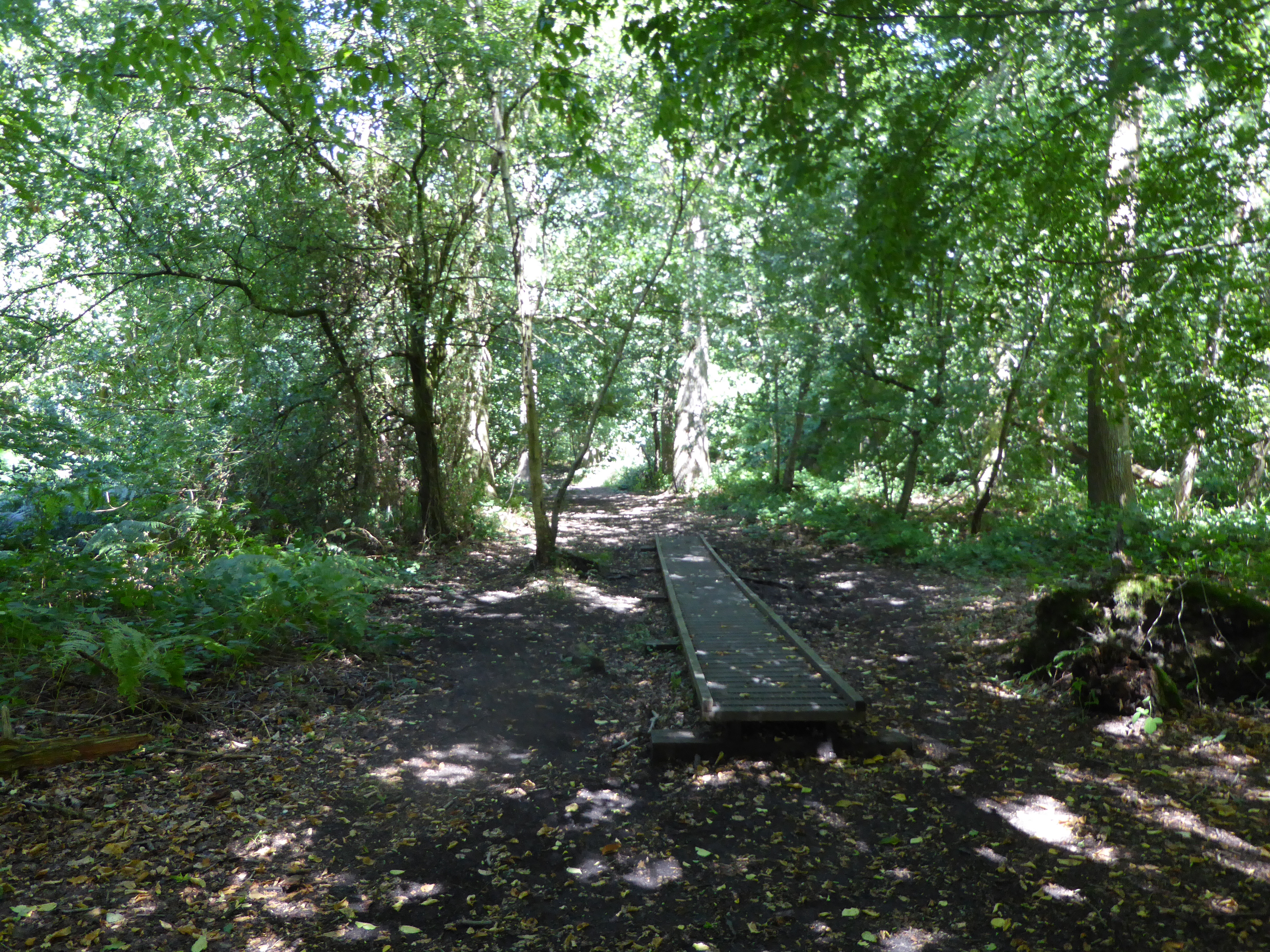
The Grove is characterized by its diverse range of tree species, including oak, beech, and birch, which create a picturesque and vibrant landscape throughout the year. The forest floor is adorned with an array of wildflowers and ferns, adding to its captivating appeal. The dense canopy provides ample shade during the summer months, making it a popular spot for picnics and leisurely walks.
A network of well-marked trails winds its way through The Grove, offering visitors the opportunity to explore its depths and discover hidden gems along the way. These pathways cater to all levels of fitness and provide access to various points of interest, such as tranquil ponds, ancient ruins, and breathtaking viewpoints overlooking the surrounding countryside.
The Grove is also home to an abundant array of wildlife, including deer, foxes, and various species of birds. Nature enthusiasts will delight in spotting these creatures in their natural habitat, making for a rewarding and memorable experience.
Whether you are seeking a peaceful retreat into nature, a chance to engage in outdoor activities, or simply a place to connect with the natural world, The Grove in Norfolk offers a captivating and rejuvenating experience for all who venture within its borders.
If you have any feedback on the listing, please let us know in the comments section below.
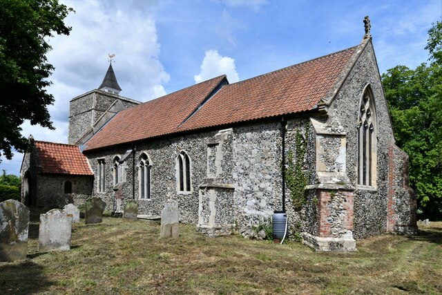
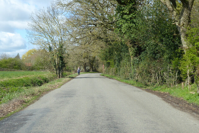
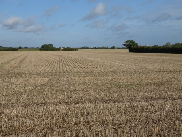
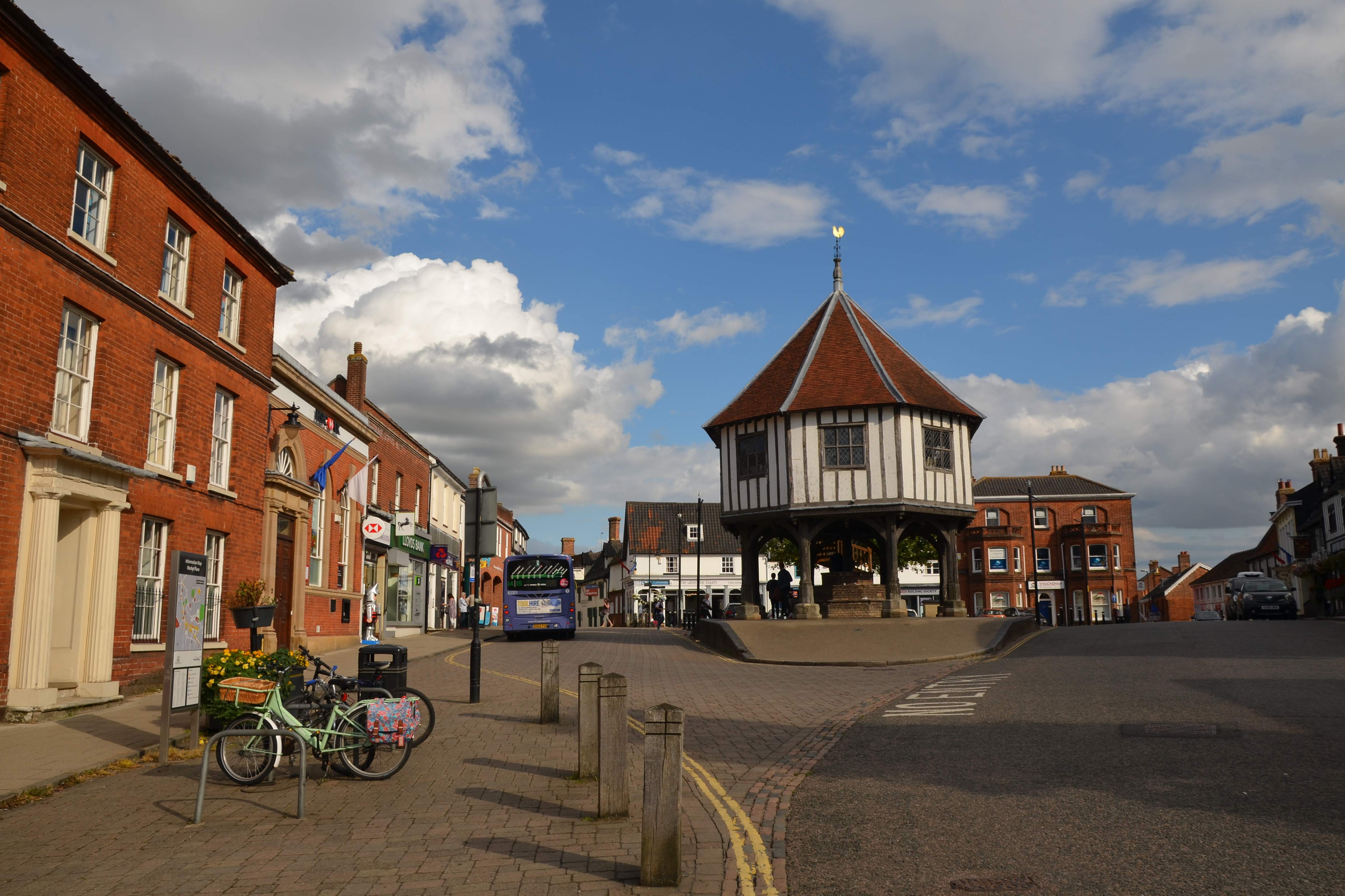
The Grove Images
Images are sourced within 2km of 52.481825/1.2636705 or Grid Reference TM2192. Thanks to Geograph Open Source API. All images are credited.


The Grove is located at Grid Ref: TM2192 (Lat: 52.481825, Lng: 1.2636705)
Administrative County: Norfolk
District: South Norfolk
Police Authority: Norfolk
What 3 Words
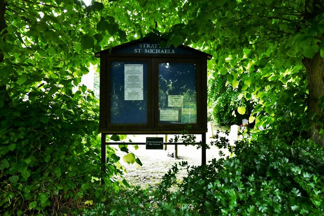
///jolt.warrior.going. Near Long Stratton, Norfolk
Nearby Locations
Related Wikis

Fritton Common, Morningthorpe
Fritton Common, Morningthorpe is a 20.5-hectare (51-acre) biological Site of Special Scientific Interest east of Long Stratton in Norfolk.This damp acidic...

Shelton Hall (Norfolk)
Shelton Hall is a large estate in the village of Shelton, Norfolk, England. The estate has around 72 acres (290,000 m2) of surrounding fields, the names...

Long Stratton
Long Stratton is a town and civil parish in Norfolk, England. It historically consisted of two villages; the larger, Stratton St. Mary, is to the south...

Shelton and Hardwick
Shelton and Hardwick is a civil parish in South Norfolk, England, made up of the villages of Shelton and Hardwick. It lies about 3 km south-east of Long...
South Norfolk
South Norfolk is a local government district in Norfolk, England. The largest town is Wymondham, and the district also includes the towns of Costessey...
Long Stratton High School
Long Stratton High School is a secondary school located in the town of Long Stratton in the English county of Norfolk. It educates children from ages...

Hempnall
Hempnall is a village and civil parish in the English county of Norfolk. It covers an area of 14.82 km2 (5.72 sq mi) and had a population of 1,310 in 522...
Pulham Market Big Wood
Pulham Market Big Wood is a 4.7-hectare (12-acre) biological Site of Special Scientific Interest south of Long Stratton in Norfolk.This ancient coppice...
Nearby Amenities
Located within 500m of 52.481825,1.2636705Have you been to The Grove?
Leave your review of The Grove below (or comments, questions and feedback).