Coal Hill
Hill, Mountain in Yorkshire Hambleton
England
Coal Hill
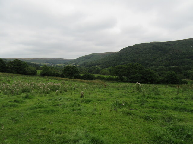
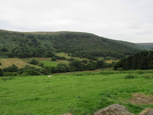
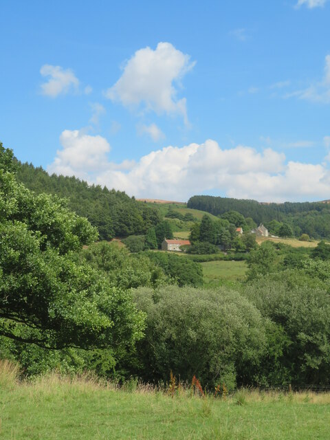
Coal Hill is a prominent hill located in Yorkshire, England. Situated in the county of West Yorkshire, it forms part of the Pennines, a range of hills and mountains that stretches across northern England. Rising to an elevation of approximately 1,200 feet (366 meters), Coal Hill offers stunning panoramic views of the surrounding landscape.
The hill derives its name from the coal mining activities that took place in the area during the 18th and 19th centuries. It was a significant source of coal extraction, with numerous mines scattered throughout the region. The hill's rich coal deposits played a crucial role in powering the Industrial Revolution in Yorkshire and beyond.
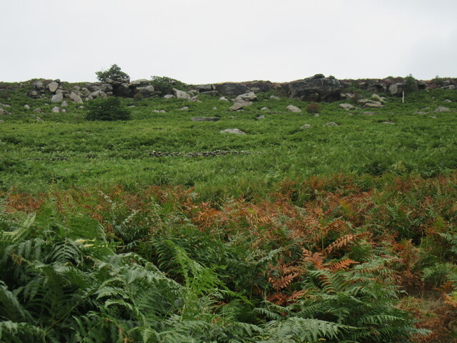
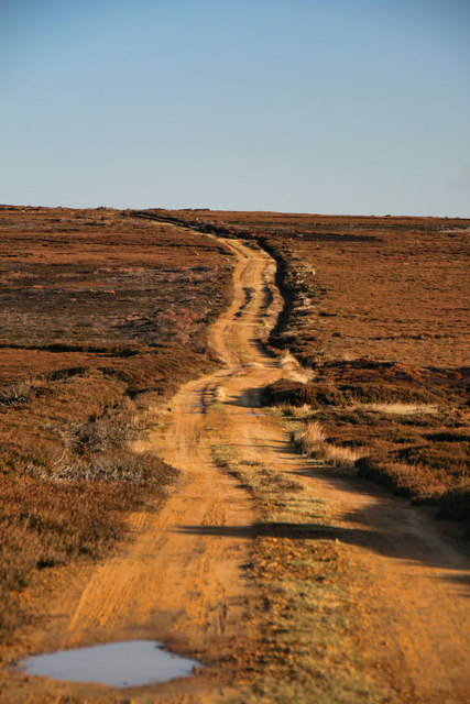
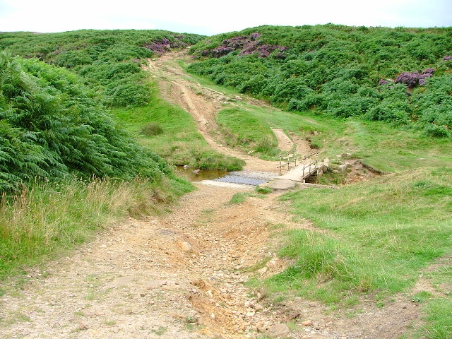
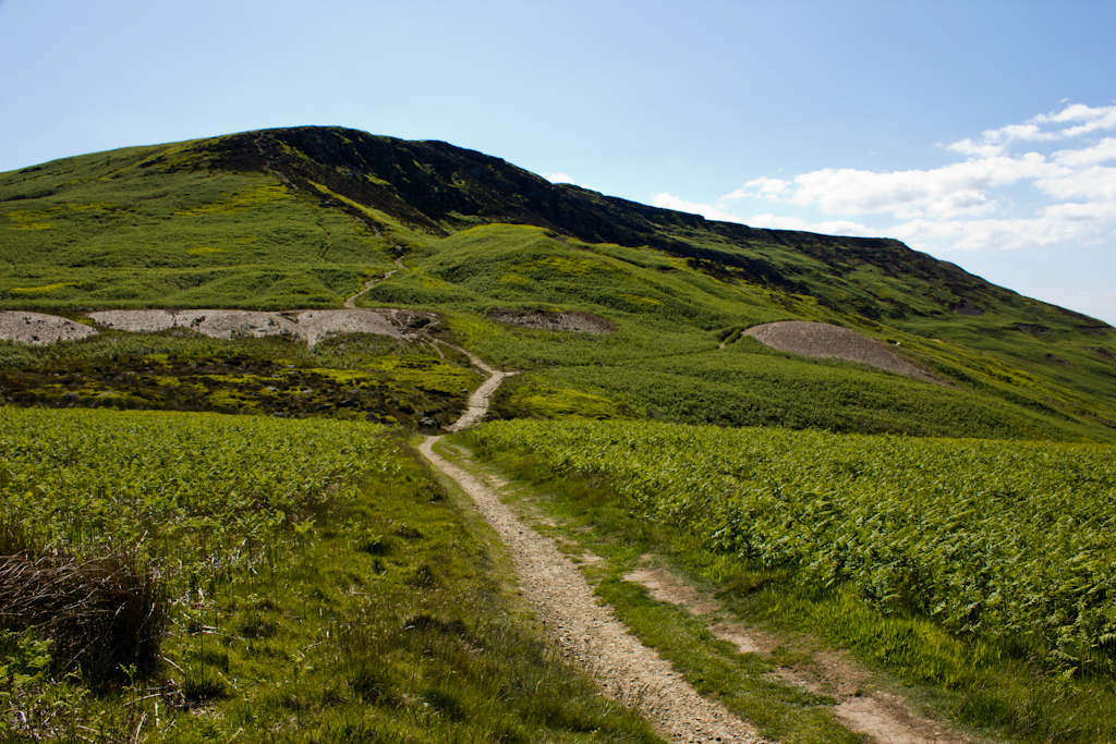
Coal Hill is characterized by its rugged and scenic terrain. It features steep slopes covered in heather and grasses, dotted with rocky outcrops. The hill is also home to a variety of wildlife, including birds of prey, such as kestrels and buzzards, as well as grazing sheep.
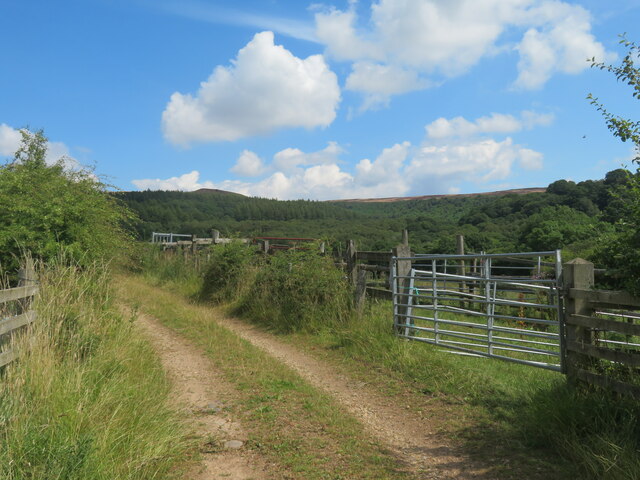
The area surrounding Coal Hill offers ample opportunities for outdoor activities, attracting hikers, walkers, and nature enthusiasts. Several footpaths and trails traverse the hill, providing access to its summit and offering breathtaking views of the Yorkshire countryside.
Notably, Coal Hill is also famous for its role in popular culture. It serves as a significant setting in the long-running British television series "Doctor Who," where it acts as the location of Coal Hill School, a fictional educational institution central to the show's storyline.
Overall, Coal Hill stands as a testament to Yorkshire's industrial heritage and natural beauty, serving as both a historical landmark and a picturesque destination for outdoor exploration.
If you have any feedback on the listing, please let us know in the comments section below.
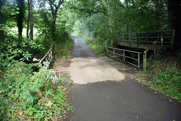
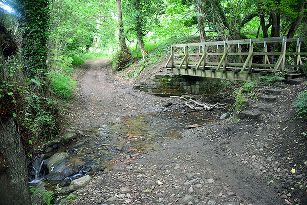
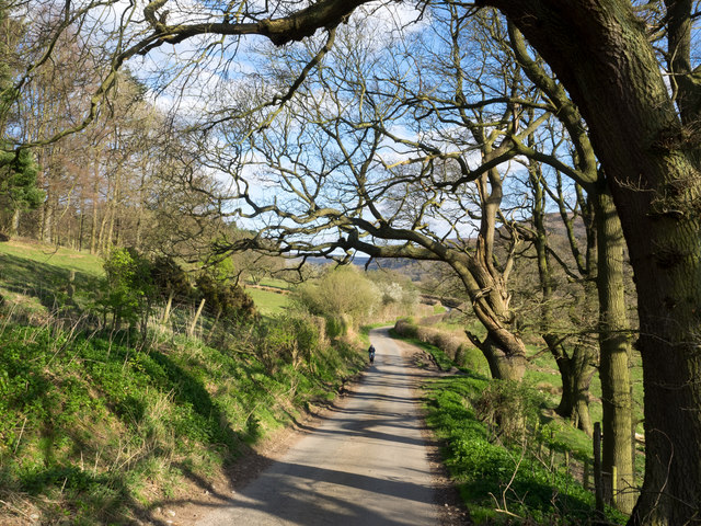
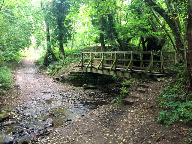
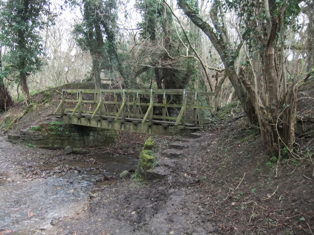
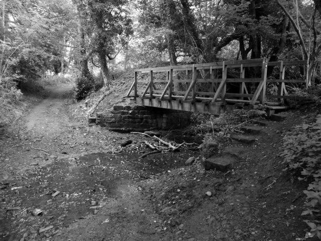
Coal Hill Images
Images are sourced within 2km of 54.385078/-1.2230861 or Grid Reference SE5099. Thanks to Geograph Open Source API. All images are credited.


Coal Hill is located at Grid Ref: SE5099 (Lat: 54.385078, Lng: -1.2230861)
Division: North Riding
Administrative County: North Yorkshire
District: Hambleton
Police Authority: North Yorkshire
What 3 Words
///auctioned.degree.sideboard. Near Bilsdale, North Yorkshire
Related Wikis
Sheepwash, North Yorkshire
Sheepwash is a popular tourist spot in the North York Moors, North Yorkshire, England. It is located on Cod Beck which flows into Cod Beck Reservoir near...

Cleveland Hills
The Cleveland Hills are a range of hills on the north-west edge of the North York Moors in North Yorkshire, England, overlooking Cleveland and Teesside...

Whorlton, North Yorkshire
Whorlton is a hamlet and civil parish in the Hambleton District of North Yorkshire, England. It is very near Swainby and the A19, and 6 miles south west...

Swainby
Swainby is a village in the Hambleton District of North Yorkshire, England. It is situated on the A172 road, 8 miles (13 km) north-east from Northallerton...

Whorlton Castle
Whorlton Castle is a ruined medieval castle situated near the abandoned village of Whorlton (at grid reference NZ4802) in North Yorkshire, England. It...

Cod Beck Reservoir
Cod Beck Reservoir is a man-made lake situated within the North York Moors National Park and near the village of Osmotherley in the English county of North...

Faceby
Faceby is a small village and civil parish in North Yorkshire, England. It is at the north-west corner of the North York Moors and near Stokesley. ��2...
Cringle Moor
Cringle Moor (also known as Cranimoor), at 432 m (1,417 ft), is the third-highest hill in the North York Moors, England, and the highest point west of...
Nearby Amenities
Located within 500m of 54.385078,-1.2230861Have you been to Coal Hill?
Leave your review of Coal Hill below (or comments, questions and feedback).